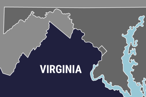
WASHINGTON — A 5.8 magnitude earthquake rattled two of Washington, D.C.’s major landmarks nearly four years ago, causing millions of dollars in damage. Now scientists in Virginia are working to map fault lines, with hopes the data might help prevent such destruction in the future.
State officials say that mapping Virginia’s hidden fault lines and where they may be putting infrastructure at risk, would allow for more informed building as the population expands, or to shore up at-risk buildings and help local governments create better emergency preparedness plans.
“They (might) need to move something , or not building something in a certain area, or support something that’s already there a little better, just in case something occurs,” said Tarah Kesterson, an official with Virginia’s Department of Mines, Minerals and Energy.
But trying to map the hidden fault lines will involve a bit of detective work.
“(We’re) looking at historical data, getting out in the field looking at outcrops of rocks, and just gathering old news articles to see where earthquakes have occurred,” Kesterson said.
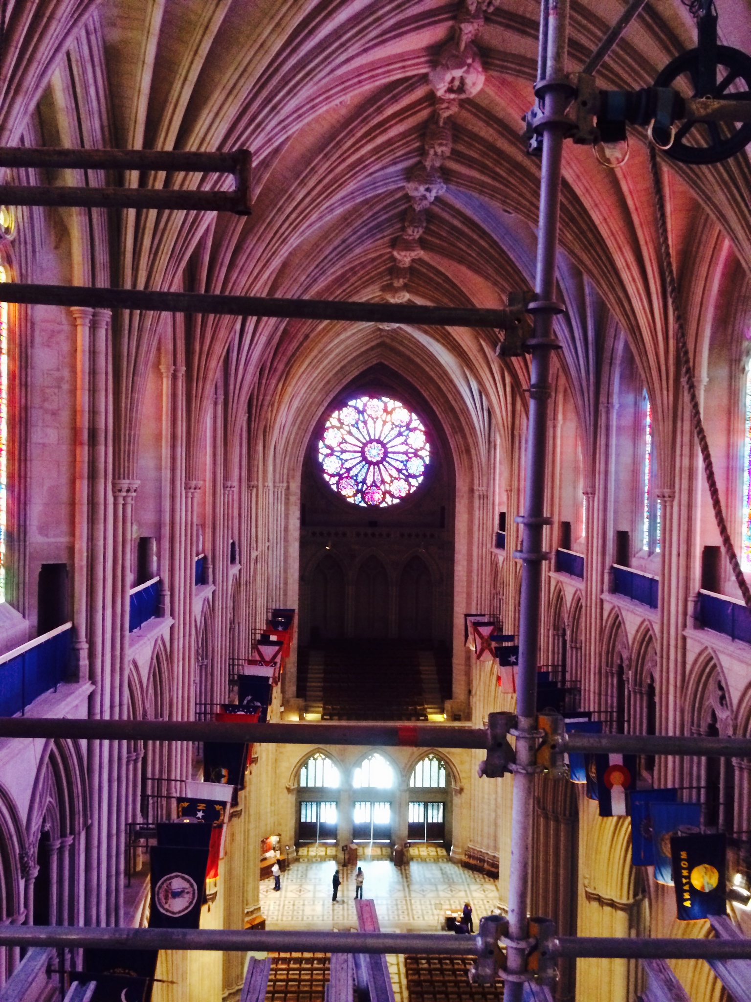
The rare regional earthquake occurred on On Aug. 23, 2011, rocking the East Coast, and felt by people from Georgia to Canada. The quake caused cracks to the 555-foot Washington Monument, which only reopened last year after extensive fixes.
Washington National Cathedral also suffered heavy damage from the quake, which resulted in $32 million worth of repairs.
Aftershocks from the 2011 earthquake — which likely originated from a fault “junction” just outside of Mineral, Virginia — led scientists to the discovery of an unknown fault zone, which since has been named the “Quail” fault zone.
—
WTOP’s Kristi King contributed to this report.