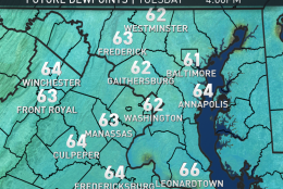
WASHINGTON — The new workweek will start out with some mild temperatures, considering they will be Monday morning’s lows. Those low temperatures will only be a little below what our average highs are this time of year.
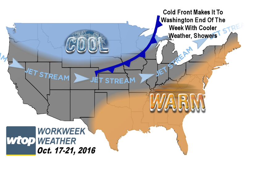
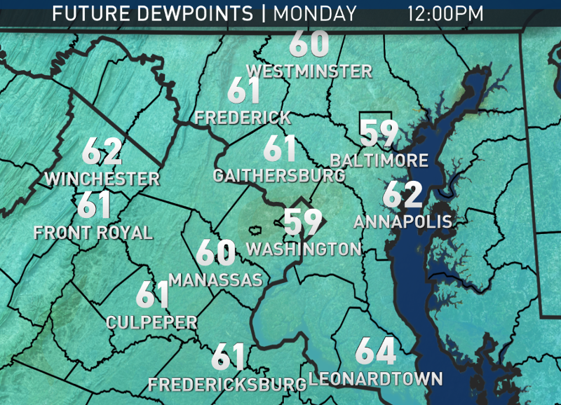
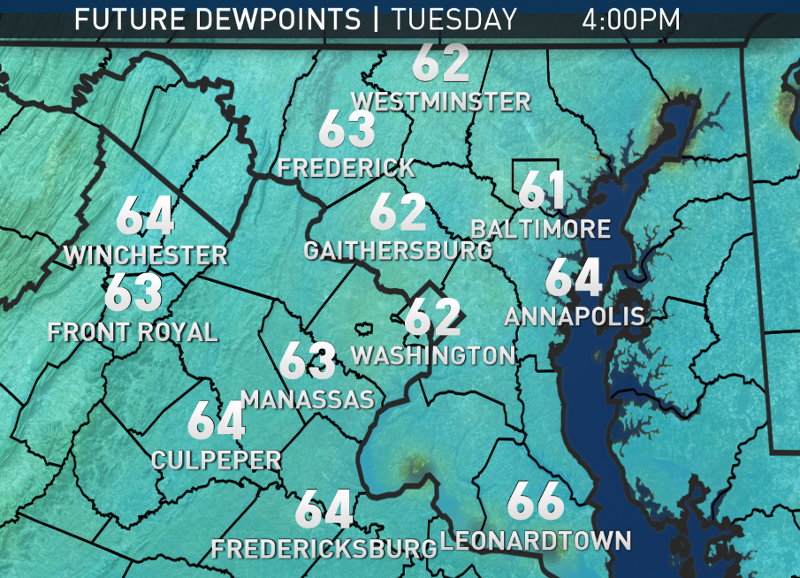
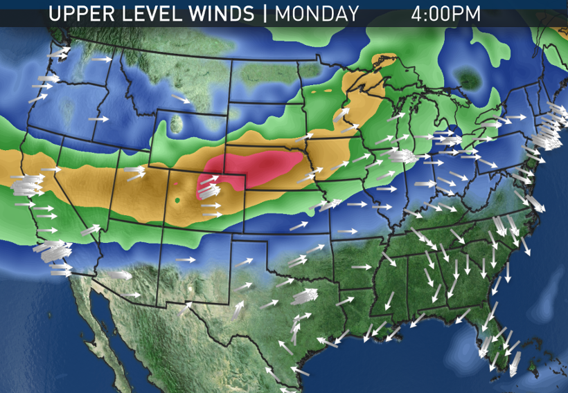
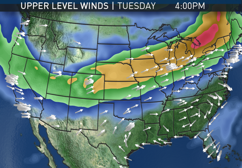
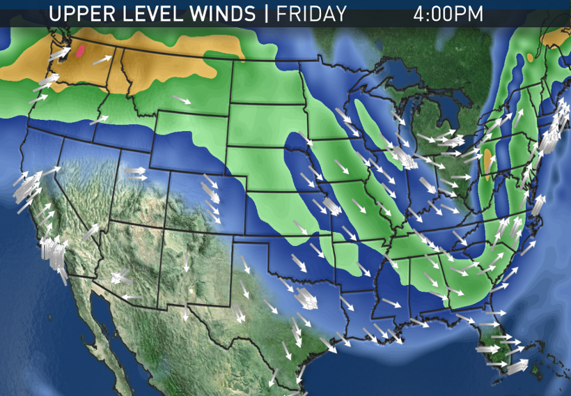
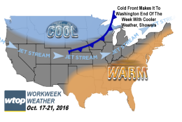
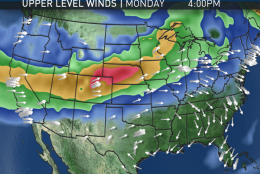
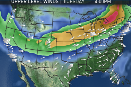
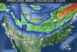
While the jet stream pattern develops a deep trough, or dip, in the western part of North America, a strong ridge of high pressure will be set up here in the eastern part, bringing us summerlike weather for several days in a row. Not only will it be very warm, it will be humid by October standards. Dew points will be in the low 60s for most of the week. As a matter of reference: Dew points in the low 60s would be considered a “sticky” day in the middle of summer. (Remember, the higher the dew point, the more moisture there is in the atmosphere.)
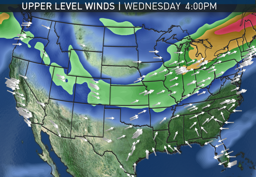
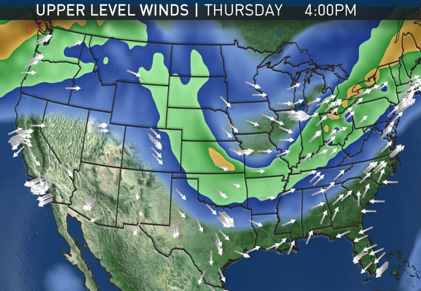
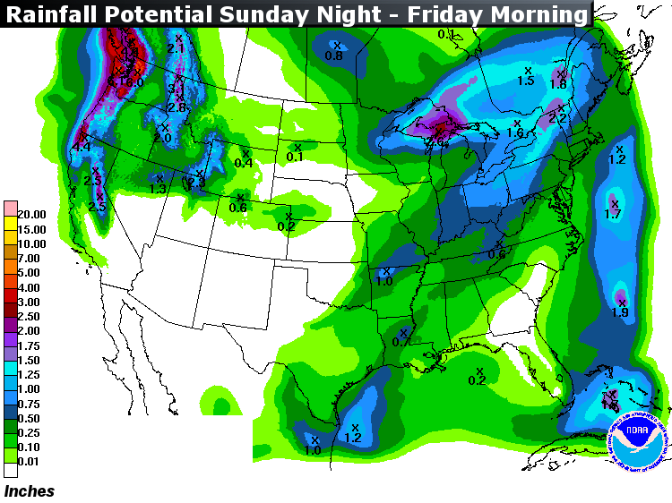
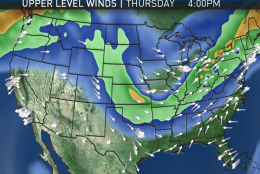
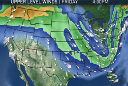
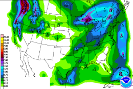
This weather pattern will not feature a lot of precipitation. In fact, the most of what we’ll see all week will be high altitude clouds and perhaps some patchy valley fog at night. The next chance for rain will be Thursday night at the earliest as the pattern breaks down and the trough shifts east toward us with a cold front. There is some uncertainty as to when the rain will start and how much there will be. But it will mean cooler, more seasonable temperatures in time for the entire upcoming weekend.
The middle of the week will feature days with the highest likelihood of setting some record high temperatures, especially at BWI Marshall Airport and Dulles International Airport. Some of those records go decades back, so it definitely doesn’t get this warm often this time of year (but it has happened before).
At any rate, this weather looks great for area road and track crews trying to get as much work accomplished as possible before the cold season.
DAILY WEATHER HIGHLIGHTS
MONDAY
• Mild start
• Temperatures warm up quickly in the morning sun
• Unseasonably warm
TUESDAY & WEDNESDAY
• Mild start with patchy fog
• Temperatures warm up very quickly in the morning sun
• Best chance of tying or breaking area record high temperatures
THURSDAY
• More cloud cover with the sunshine
• Not quite as warm but still summerlike
• Chance of showers possibly in the evening
FRIDAY
• Overcast and cooler
• Uncertainties: Either raining lightly all day with highs only in the more seasonable upper 60s or cloudy with rain starting sometime during the day and highs will be in the 70s
RECORD HIGHS THIS WEEK
| Day/Date | Reagan National Airport | Dulles International Airport | BWI Marshall Airport |
|---|---|---|---|
| MON-17 | 86-1938+ | 83-1963 | 90-1938 |
| TUE-18 | 85-1938+ | 82-2007+ | 82-1945+ |
| WED-19 | 88-1938 | 83-1991+ | 82-1947+ |
| THU-20 | 86-1969 | 83-1969 | 87-1969 |
(+) denotes record also set in previous years
Editor’s Note: The WTOP Workweek Weather Blog is intended as an in-depth yet plain language summary of the business week’s weather potential in the D.C. area along with an explanation of the contingencies and uncertainties that exist at the time of publication. For the latest actual Storm Team 4 forecast, check out the main WTOP Weather Page.