WASHINGTON — Winter is coming, along with the challenge of predicting the path of snowstorms.
So why does one computer model seem to be better at it than others?
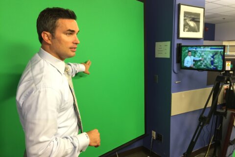
“The European model has always had a lot more money going toward it than the GFS model, which is the American model,” NBC Washington Chief Meteorologist Doug Kammerer tells WTOP.
He says the European system has more computer power and is able to handle more data.
“We find that very disconcerting for us, because we want to see more funding put in toward weather, and there have been major cuts in the National Weather Service. Now, they have made upgrades in the American model over the past couple of years since Hurricane Sandy, but those upgrades still are not up to par with what the European model is able to give us.”
In 2012, the European model was the one that predicted Superstorm Sandy would slam into the East Coast. A few weeks ago, it also correctly forecast the path of Hurricane Joaquin.
“The European model was the only model saying that that storm would stay out to sea,” Kammerer says. “We (NBC 4) never said Hurricane Joaquin was coming our way, and that’s because we were leaning mostly toward the European model the entire time.”