Count on strong winds across the D.C. area Sunday as a nor’easter moves along the East Coast.
7News First Alert Meteorologist Jordan Evans said northerly wind gusts could top 40 mph, creating dangerously low wind chills.
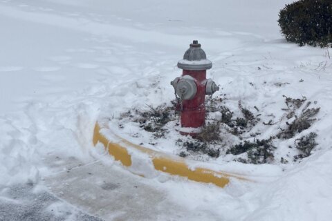
There’s a cold weather advisory for the D.C. area until 8 a.m. Monday morning.
Evans and the National Weather Service said wind chills are expected to fall below zero Sunday night under clear skies, with gusts up to 45 mph.
“A mix of clouds and sunshine with gusty winds out of the northwest,” Evans said. “Cold temperatures in the upper 20s but the wind chill stays in the upper single digits to low teens thanks to gusty winds.”
He said those conditions will continue overnight.
Evans suggests covering all exposed skin when outdoors to avoid frostbite or hypothermia. Daytime highs will remain below freezing, with wind chills around zero.
It is another cold night ahead with lows in the single digits to low teens. Wind chills should drop to below 0°F in many spots w/ Cold Weather Advisories in effect tonight. Also, as of 8 PM this evening, many spots are now at 9 days (~216 hr) straight of 32°F & below temperatures pic.twitter.com/EeWDagSVMZ
— NWS Baltimore-Washington (@NWS_BaltWash) February 2, 2026
Conditions begin to thaw for parts of the D.C. region Monday, as highs could reach 35 degrees — marking the first time the area may rise above freezing in more than a week. But winds are expected to make temperatures feel like they’re in the 20s.
Despite increasing clouds Tuesday, Evans said it could be the warmest day of the week, with highs near 40. But again, winds may make temperatures feel like they’re in the 20s.
- Listen to WTOP online and on the radio at 103.5 FM or 107.7 FM.
- Current traffic conditions
- Weather forecast
- Closings and Delays
- Sign up for WTOP email alerts
- Get custom alerts with the WTOP app for Apple and Android phones
FORECAST
TONIGHT: COLD ALERT
Clear, creezy
Lows: 5-15; Wind Chill: -5 to 0
Winds: North 15-25 mph; Gusts: 40-45 mph
Another cold and blustery night as northwest breezes continue, putting wind chills below zero.
MONDAY:
Mostly sunny
Highs: 30-35; Wind Chill: 20s
Winds: Northwest 5-15 mph
Temperatures for parts of the DMV are forecast to surpass the freezing mark for the first time in over a week.
TUESDAY:
Mostly cloudy
Highs: 32-37
Winds: West 5-10 mph
Skies will turn mostly cloudy as an approaching weather maker brings the chance for scattered snow showers overnight.
WEDNESDAY:
Mostly Cloudy
Highs: 30-35
Winds: North 5-10 mph
Morning snow showers will amount to 1 to 2 inches by the morning commute, then staying mostly cloudy and dry through the rest of the day.
THURSDAY:
Sunny
Highs: 25-30
Winds: Northwest 5-10 mph
Sunny and colder behind another cold front.
CURRENT CONDITIONS
Get breaking news and daily headlines delivered to your email inbox by signing up here.
© 2026 WTOP. All Rights Reserved. This website is not intended for users located within the European Economic Area.