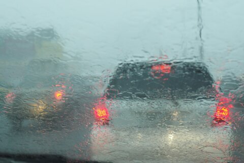
Thunderstorms blew through the D.C. area Sunday evening, ushering in cooler temperatures, but bringing a few problems as well.
An approaching cold front set off some heavy thunderstorms, WTOP Meteorologist Mike Stinneford said.
In one case, a boat capsized in Maryland, according to a WTOP listener.
But, according to Stinneford, the risk for severe weather has come to an end.
There will still be a chance of a shower or thundershower tonight as a cold front comes through.
The front will stall just to our south on Monday, and there could be some light rain or drizzle, and it will be much cooler.
Earlier, a Heat Alert was issued for D.C. until Monday at 8 a.m., as daytime temperatures could feel like 95 or hotter.
Overnight temperatures are expected to feel as high as 80 or hotter.
Find a cooling center near you on D.C.’s online map.
7News First Alert Meteorologist Jordan Evans said Sunday will be the hottest day of the current heat stretch, adding that “heat index values will make it fill even more uncomfortable” than temperatures reflect.
While Monday is supposed to be a little cooler with a high somewhere between 83 to 88, there will be no drop in humidity.
There’s a chance for spotty thunderstorms Monday afternoon as well.
Severe Thunderstorm Warning including Germantown MD, Rockville MD and Gaithersburg MD until 7:00 PM EDT pic.twitter.com/kAuGuj8Mrm
— NWS Baltimore-Washington (@NWS_BaltWash) August 17, 2025
The Heat Alert means cooling centers in the District will be open and available for anyone needing to get out of the sweltering conditions.
Another cooling option is a D.C. pool or spray park. The spray parks are open daily from 10 a.m. to 6 p.m. You can find the locations online.
If you’re considering heading to a pool, there is a listing and schedule for all of the D.C. outdoor pool locations and the indoor pools, which are available year-round.
Heat safety precautions
The District encourages you to check on each other in the heat and to stay hydrated.
Tips for hot weather include:
- Drink a lot of water and avoid caffeinated and alcoholic beverages during extreme heat
- Take frequent breaks and rest in cool, shady areas
- Close the shades on windows that receive sun during the day
- Wear loose clothing and sunscreen
- Take cold showers to lower your body temperature
- Create makeshift air conditioning by putting a bowl of ice or cold water in front of your fan
- Don’t leave kids or pets alone in cars. If you see an animal left outside or in a vehicle on a hot day, call the Brandywine Valley SPCA at 202-888-PETS.
- Take your pet and/or service animal out in the morning or evening when temperatures are cooler
- Keep your emergency kit available in an easy-to-reach location in case of an emergency
FORECAST
TONIGHT: Scattered thunderstorms, mainly before midnight. Storms may produce damaging winds and heavy rainfall. Muggy overnight with a few showers and areas of dense fog. Lows mid 60s to mid 70s
MONDAY: A mix of clouds and sunshine. A chance for some drizzle in the morning, with a few showers in the afternoon. Much cooler. Highs 75 to 80
TUESDAY: Partly cloudy and pleasant. Highs upper 70s to lower 80s
WEDNESDAY: Partly cloudy with a chance of afternoon thunderstorms. Highs in the low to mid 80s
THURSDAY: Mostly sunny. Highs in the low to mid-80s
CURRENT CONDITIONS
Get breaking news and daily headlines delivered to your email inbox by signing up here.
© 2025 WTOP. All Rights Reserved. This website is not intended for users located within the European Economic Area.