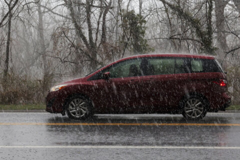
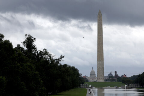
The D.C. region may experience some storms Tuesday night, following repeated days of sticky heat topped with late-day showers and thunderstorms that have snarled traffic and led to flash flooding.
7News First Alert Senior Meteorologist Brian van de Graaff said he expects sunshine to come through in the afternoon, with seasonably hot, humid conditions.
This video is no longer available.
With highs between 85 and 90, along with a heat index in the middle to upper 90s, D.C. government activated a heat alert until 8 p.m.
Showers and thunderstorms may develop during the evening, according to van de Graaff, bringing downpours that could lead to flash flooding.
Morning update: The Flood Watch (for flash flooding) has been expanded into the I-64 corridor. This is in place from 2 PM until midnight. Tropical moisture remains in place which could promote rainfall rates up to 1.50-2.50″ per hour, particularly across the higher terrain. #VAwx pic.twitter.com/iFABUeiGN3
— NWS Baltimore-Washington (@NWS_BaltWash) July 15, 2025
The National Weather Service issued flood watches for south of the D.C. area, as far north as Fredericksburg, Virginia, and east of La Plata, Maryland, from 2 p.m. until midnight. It said affected areas could see rainfall rates between 1.5 and 2.5 inches per hour.
Mainly dry conditions are expected overnight, with seasonably mild temperatures. Areas of patchy fog are possible.
- Listen to WTOP online and on the radio at 103.5 FM or 107.7 FM.
- Current traffic conditions
- Weather forecast
- Closings and Delays
- Sign up for WTOP email alerts
- Get custom alerts with the WTOP app for Apple and Android phones
Heavy rain pounded the D.C. region in the middle of Monday’s afternoon rush, as slow-moving thunderstorms led to flash flood warning for parts of D.C., Maryland and Northern Virginia, plus a tornado warning in Anne Arundel County, Maryland.
About 2 inches of rain fell within a few hours, leading to impassible roads in spots such as Vienna, Virginia, and Glen Echo and Ellicott City in Maryland. Water rescues were reported in Tysons, Virginia, and Silver Spring, Maryland.
In a typical year, the National Weather Service office in the D.C. area issues one or two moderate risk rainfall outlooks. This July alone, there have already been three as of Monday, CNN reported.
Later this week
The hot and humid weather pattern is expected to stay put across the D.C. region, with Wednesday afternoon heat index values nearing 100. There’s a chance for a few showers and storms to develop during the day. Similar to days’ past, any rain cells that develop could cause flash flooding, according to van de Graaff.
He said Thursday will be the hottest day of the week, with afternoon highs in the lower to middle 90s along with a heat index near 105. More showers and thunderstorms could develop, containing harsh wind gusts and the potential for additional flash flooding.
Hot and humid weather will round out the workweek, with scattered shower and storm chances Friday afternoon and evening.
FORECAST
TUESDAY: Morning clouds, afternoon sunshine. Chance for storms later in the day. Highs between 85 and 90, with a heat index in the middle to upper 90s.
Winds: South 5-10 mph
TUESDAY NIGHT: Partly cloudy. Lows between 68 and 75.
Winds: South 5 mph
WEDNESDAY: Partly cloudy. Chance for storms later in the day. Highs around 90, with a heat index near 100.
Winds: South 5-10 mph
THURSDAY: Mostly sunny. A few storms later in the day are possible. Highs between 90 and 95, with a heat index near 105.
Winds: Southwest 5-10 mph
FRIDAY: Partly cloudy. Chance for storms later in the day. Highs around 90.
Winds: Northwest 5-10 mph
CURRENT CONDITIONS
Get breaking news and daily headlines delivered to your email inbox by signing up here.
© 2025 WTOP. All Rights Reserved. This website is not intended for users located within the European Economic Area.