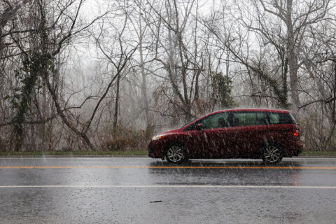
It’s another sweltering weekend in the D.C. area. However, in the midst of the humidity, pouring rain and storms affected the region on Saturday.
Fairfax County, Virginia, is under a Flood Warning until 1:45 a.m. on Sunday.
The storms and rain caused flooding across the region, including in Vienna and Reston, according to WTOP’s Dave Dildine.

“It’s going to take a while for creeks and streams to go back into their banks,” WTOP Meteorologist Mike Stinneford said. “Some area roadways still have standing water.”
As a result of the severe weather, some in the region are without power.
In Virginia, Dominion Energy is reporting that over 500 customers are without power in Fairfax County. In Maryland, Pepco is reporting that less than 20 customers are in the dark in Montgomery County.
An isolated shower or storm will come before midnight. There will also be areas of dense fog overnight. Temperatures overnight will be in the low to mid-70s.
- Listen to WTOP online and on the radio at 103.5 FM or 107.7 FM.
- Current traffic conditions
- Weather forecast
- Closings and Delays
- Sign up for WTOP email alerts
- Get custom alerts with the WTOP app for Apple and Android phones
A Heat Alert is in effect in D.C. until Sunday at 8 a.m. as temperatures could feel like 95 degrees or hotter.
Find a cooling center near you on D.C.’s online map.
The hot weather is expected to continue on Sunday as well, with highs in the upper 80s to near 90 and a heat index in the upper 90s.
However, there’s “a slightly better chance of scattered thunderstorms in the afternoon and evening, some would be slow-moving with some heavy downpours,” 7News First Alert meteorologist Matt Ritter said.
On Monday, there is a chance for scattered thunderstorms late in the day with highs in the upper 80s to near 90s.
Ritter said the area will get a slight break from the humidity on Tuesday, but it will still be hot with a chance of storms as well.
FORECAST
OVERNIGHT: An isolated shower or storm before midnight. Areas of dense fog overnight. Muggy. Lows in the low to mid-70s.
SUNDAY: Partly sunny, warm and muggy with afternoon and evening thunderstorms. Storms may be severe. Highs in the upper 80s to lower 90s.
MONDAY: Warm and muggy with scattered showers and afternoon thunderstorms. Highs in the upper 80s to lower 90s.
TUESDAY: Mostly cloudy with a risk of a shower or a thunderstorm. Highs in the upper 80s to lower 90s.
CURRENT CONDITIONS
Get breaking news and daily headlines delivered to your email inbox by signing up here.
© 2025 WTOP. All Rights Reserved. This website is not intended for users located within the European Economic Area.