This video is no longer available.
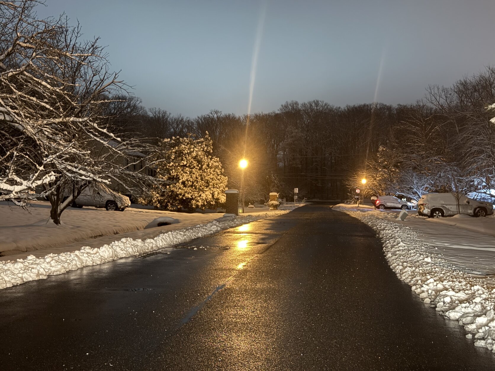
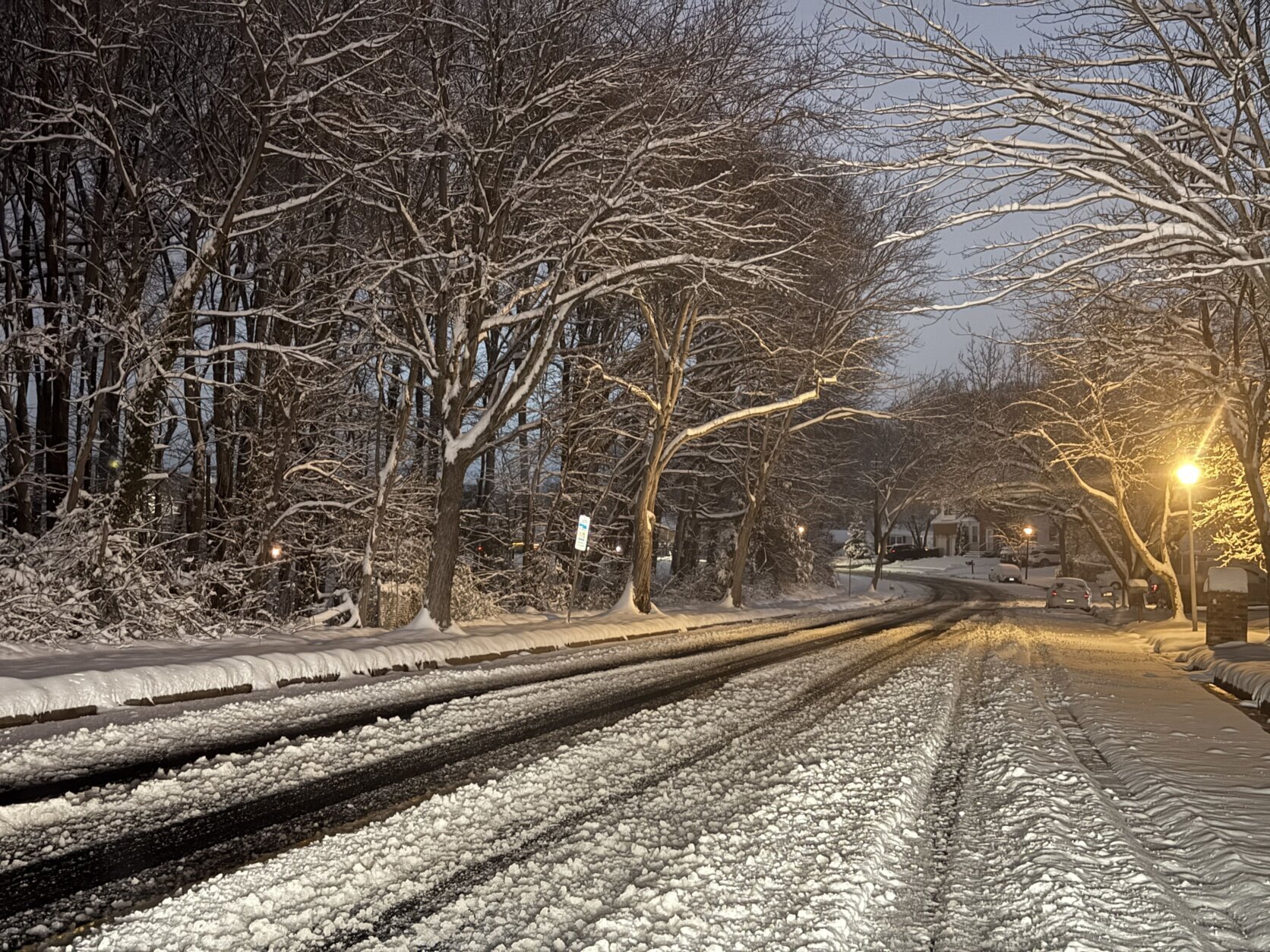
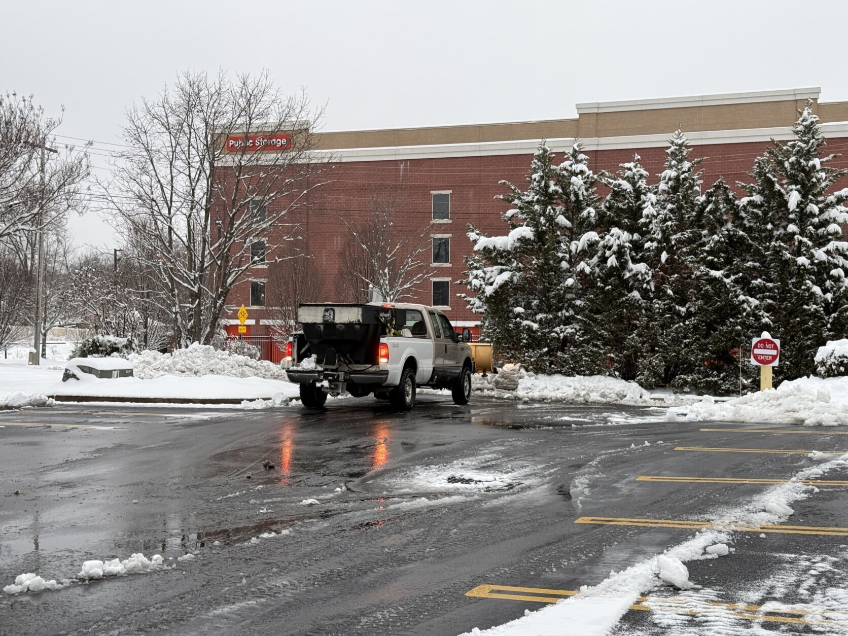
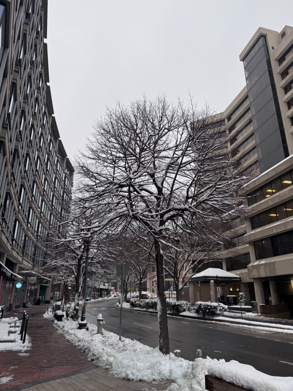
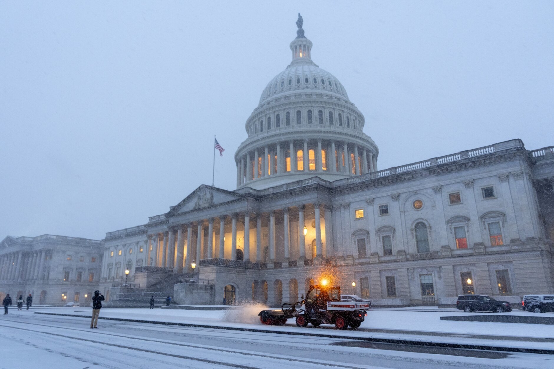
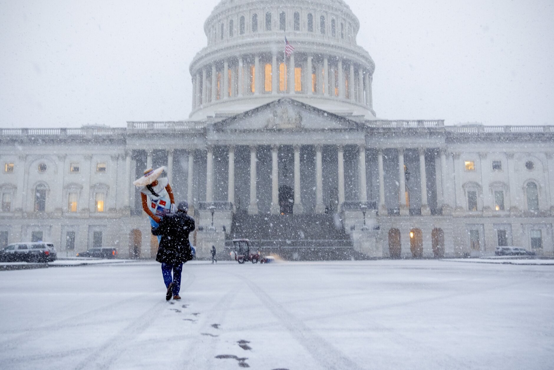
The D.C. area is digging out from several inches of snow as freezing rain moves through the region Wednesday.
By the afternoon, the D.C. area is expected to see a wintry mixture of freezing rain and sleet that will eventually turn into rain. High temperatures will remain in the mid-30s for much of the day, with winds staying at about 5 mph.
Wet weather will stick around overnight and areas of fog will develop.
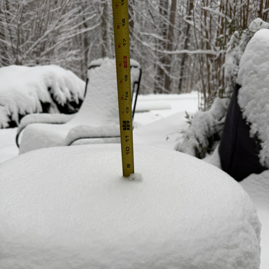
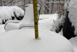
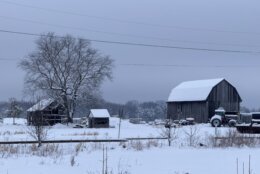
Much of the region saw between 3 and 8 inches of snow after Tuesday’s winter storm.
In Virginia, the National Weather Service tallied 9.5 inches of snow in Manassas, while spots in or near Fairfax, Centreville and Arlington saw between 5 to 7 inches.
In Maryland, parts of Charles County received 9 inches while parts of Calvert got nearly 8 inches.
- Which places in the DC area got the most snow?
- Listen to WTOP online and on the radio at 103.5 FM or 107.7 FM.
- Current traffic conditions
- Weather forecast
- Closings and Delays
- Sign up for WTOP email alerts
- Get custom alerts with the WTOP app for Apple and Android phones
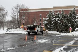
With ongoing precipitation, roads will remain wet with a few slushy and icy spots on bridges and overpasses. Many main roads have been cleared, but drivers should be cautious of slippery spots on secondary roads.
Come Thursday, any leftover snow buildup on the roads will likely be washed out as the D.C. area is hit with another dose of rain. Temperatures are forecast to reach the high 40s before slumping back into the low 20s by nightfall.
The start of the weekend will kick off with some sunny weather on Friday. But, that reprieve will be temporary as Saturday and Sunday are due to be rainy, according to the weather service.
Want to see your snow day pictures featured on WTOP.com and on our social media? Send us your photos or videos using the WTOP News app’s Feedback tool. Download the app for Apple and Android phones.


Wintry mix. Rain
Temperatures: 30s
Winds: East 5-10 mpH
WEDNESDAY NIGHT:
Areas of rain (metro). Wintry mix to rain (mountains). Areas of Fog
Lows: 35-40
Winds: East 3-8 mph
THURSDAY:
Lingering showers end. Gradual clearing. Windy
Highs: 45-53
Winds: Southwest 10-15, Gusts to 30 mph
FRIDAY:
Mostly sunny
Highs: near 40
Winds: Northwest 5-10 mph
SATURDAY:
Cloudy. Areas of rain
Highs: 40-45
Winds: South 5-10 mph
Areas of rain. Windy
High: near 60
Winds: Southwest 10-15, Gusts to 30 mp
Snow totals
NWS provided estimates of snow totals based off reports from trained spotters, local media and other sources. For a look at what parts of the D.C. area go the most snowfall, click here.
DC
- Anacostia, Southeast 6.1 inches at 10 p.m. on Tuesday
- U.S. Capitol 5.3 inches at 9:22 p.m. on Tuesday
MARYLAND
Anne Arundel County
- Crofton – 4.2 inches at 9:15 p.m. on Tuesday
- BWI Marshall Airport – 3.8 inches at 1 a.m. on Wednesday
- Glen Burnie – 3.6 inches at 10:28 p.m. on Tuesday
Calvert County
- Prince Frederick – 7.6 inches at 10:10 p.m. on Tuesday
Charles County
- Dentsville – 8.7 inches 1:30 a.m. on Wednesday
- Waldorf – 6.9 inches 8:57 p.m. on Tuesday
Frederick County
- New Market – 1.5 inches 8:30 p.m. on Tuesday
Howard County
- Simpsonville – 5 inches 1:30 a.m. on Wednesday
Montgomery County
- Four Corners 1 N – 6 inches at 9:42 p.m. on Tuesday
- Wheaton – 5.1 inches at midnight on Wednesday
- Bethesda – 5 inches 9:42 p.m. on Tuesday
- Rockville – 4.9 inches 4:34 a.m. on Wednesday
Prince George’s County
- New Carrollton – 5.4 inches at 1:31 a.m. on Wednesday
- Greenbelt – 5 inches at 11:20 p.m. on Tuesday
St. Mary’s County
- Callaway – 8 inches 3:45 a.m. on Wednesday
VIRGINIA
Arlington County
- Falls Church – 6.5 inches at 12:20 a.m. on Wednesday
- Reagan National Airport – 6.3 inches at 1 a.m. on Wednesday
- Rosslyn – 5.5 inches at 10:50 p.m. on Tuesday
City of Alexandria
- Alexandria – 5.5 inches at 10 p.m. on Tuesday
City of Fredericksburg
- Fredericksburg, Northwest – 6.5 inches at 1:14 a.m. on Wednesday
City of Manassas
- Manassas Park – 6.5 inches at 10:47 p.m. on Tuesday
Culpeper County
- Culpeper – 7 inches at 9:30 p.m. on Tuesday
Fairfax County
- Hybla Valley – 8.5 inches at 2:30 a.m. on Wednesday
- Burke – 8 inches at 11:11 p.m. on Tuesday
- Centreville – 7.2 inches at 10:30 p.m. on Tuesday
- Fairfax – 6.1 inches at 11:12 p.m. on Tuesday
Fauquier County
- Bealeton – 7.5 inches at 9:21 p.m. on Tuesday
Loudoun County
- Ashburn – 5 inches 4:47 a.m. on Wednesday
- Dulles International Airport – 4.9 inches at 1 a.m. on Wednesday
Prince William County
- Dale City – 7.8 inches 10:45 p.m. on Tuesday
- Dumfries – 7.8 inches at 1:40 a.m. on Wednesday
- Manassas Park – 6 inches at 10:55 p.m. on Tuesday
Stafford County
- Glendie – 8.3 inches at 11:55 p.m. on Tuesday
CURRENT CONDITIONS
WTOP’s Jessica Kronzer contributed to this report.
Get breaking news and daily headlines delivered to your email inbox by signing up here.
© 2025 WTOP. All Rights Reserved. This website is not intended for users located within the European Economic Area.