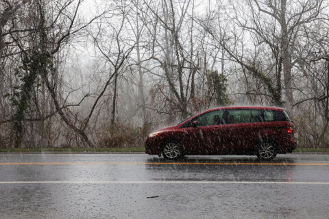
The D.C. area will see temperatures fall into the teens by Tuesday night, with continued chilly weather and snow forecast as soon as Wednesday.
A wind advisory that ended Monday left thousands of energy utility customers without power, after strong winds brought down power lines and trees.
Winds pick up again Tuesday, with gusts up to 25 mph at times, according to 7News First Alert Senior Meteorologist Brian van de Graaff.
- Listen to WTOP online and on the radio at 103.5 FM or 107.7 FM.
- Current traffic conditions
- Weather forecast
- Closings and Delays
- Sign up for WTOP email alerts
- Get custom alerts with the WTOP app for Apple and Android phones
He said to plan for a mix of sun and clouds, with highs mainly in the 30s approaching 40. Clouds are due to roll in after dark, but not before temperatures plummet into the teens.
Parts of the D.C. region could see a glancing blow of snow later in the day Wednesday and into Thursday, but the entire storm is expected to deliver less than an inch of snow accumulation to D.C.
The National Weather Service has issued a winter storm warning for Maryland’s St. Mary’s County from Wednesday through Thursday morning. Between 3 and 5 inches of snow is expected to fall there.
Winter Weather Advisories have been expanded across portions of central VA and southern MD. Further north, lighter amounts are possible. As always, monitor https://t.co/ZOlvESgJ2H for the latest forecast pic.twitter.com/qtMMipTRHs
— NWS Baltimore-Washington (@NWS_BaltWash) February 18, 2025
A winter weather advisory is also in effect from 1 to 10 p.m. on Wednesday in south central Virginia, including Stafford County, as snowfall and below-freezing temperatures during the evening commute could create hazardous conditions on the roads.
Some schools have already canceled in-person classes on Wednesday, including Fredericksburg City and Spotsylvania County Public Schools in Virginia, due to the expected winter weather.
Thursday will start off with areas of light snow, but there’s less of a chance of a proper snow storm for the rest of the day.
Current Forecast
TUESDAY EVENING:
Partly cloudy
Temperature: 30s to 20s
Winds: Northwest 10-20 mph
Winds will ease a bit this evening, as temperatures fall to the 20s.
TUESDAY NIGHT:
Increasing clouds
Lows: 15-22
Winds: Northwest 5-10 mph
Clouds roll in after dark but not before temperatures plummet into the teens!
WEDNESDAY:
Mostly cloudy with light afternoon snow flurries possible
Highs: 26-32
Winds: North 5-10 mph
First Alert Weather continues to track a winter weather maker that may clip some of the DMV. Forecast trends are now consistently favoring southern track, low impact snow inside the beltway and perhaps more disruptive snowfall across southern Virginia and North Carolina.
THURSDAY:
Morning snow showers, mostly cloudy
Highs: 27-32
Winds: Northwest 10-20, gusts to 30 mph
Areas of light snow with minor accumulations remain possible early Thursday. Odds for a major storm for the metro D.C. area are down as of this writing.
FRIDAY:
Mostly sunny
Highs: 35-40
Winds: Northwest 10-20, gusts to 30 mph
Plan for a sunny and cold end of the work and school week. Highs in the 30s will feel colder with gusts to 30 mph.
Current conditions
Get breaking news and daily headlines delivered to your email inbox by signing up here.
© 2025 WTOP. All Rights Reserved. This website is not intended for users located within the European Economic Area.