

A sunny Sunday turned into a cold evening, with the possibility for a refreeze that could make the Monday morning commute icy. Here’s what you need to know for the start of the work week.
The sunny skies that graced the D.C. region Sunday are giving way to a slippery kick off to the Monday work grind as melted snow and ice once again freezes up. Overnight temperatures are forecasted to get only as high as the mid-20s.
7News First Alert Meteorologist Mark Peña told WTOP that anyone out on the roads or sidewalks on Monday must be cautious and be on the alert for any slick spots. As the day progresses, however, temperatures will get into the low 40s.
But, enjoy the warmer weather while it lasts, Peña said, because this is just a momentary reprieve. The trend of cold temperatures will continue into the middle of the week.
Come Tuesday, a dry cold front is forecasted to blow into town. It’ll bring the temperature back down to the mid-20s and even potentially create the right conditions for some flurries.
“Bitter cold and winds are in the forecast Wednesday. Highs will barely get out of the 20s, under mostly sunny skies,” 7News First Alert Meteorologist Jordan Evans said.
Both Fauquier and Culpeper county public schools have announced two-hour delays for Virginia students.
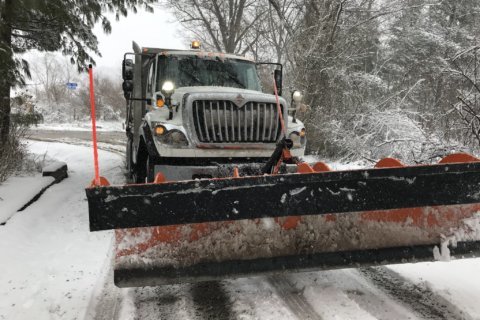
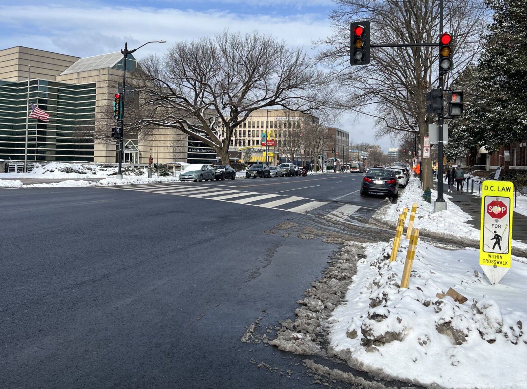
Poor road conditions were par for the course after Monday’s storm dropped up to 10 inches of snow in parts of the D.C. area. A couple more inches followed on Saturday morning, and WTOP’s Luke Lukert drove around some local streets to check out the conditions.
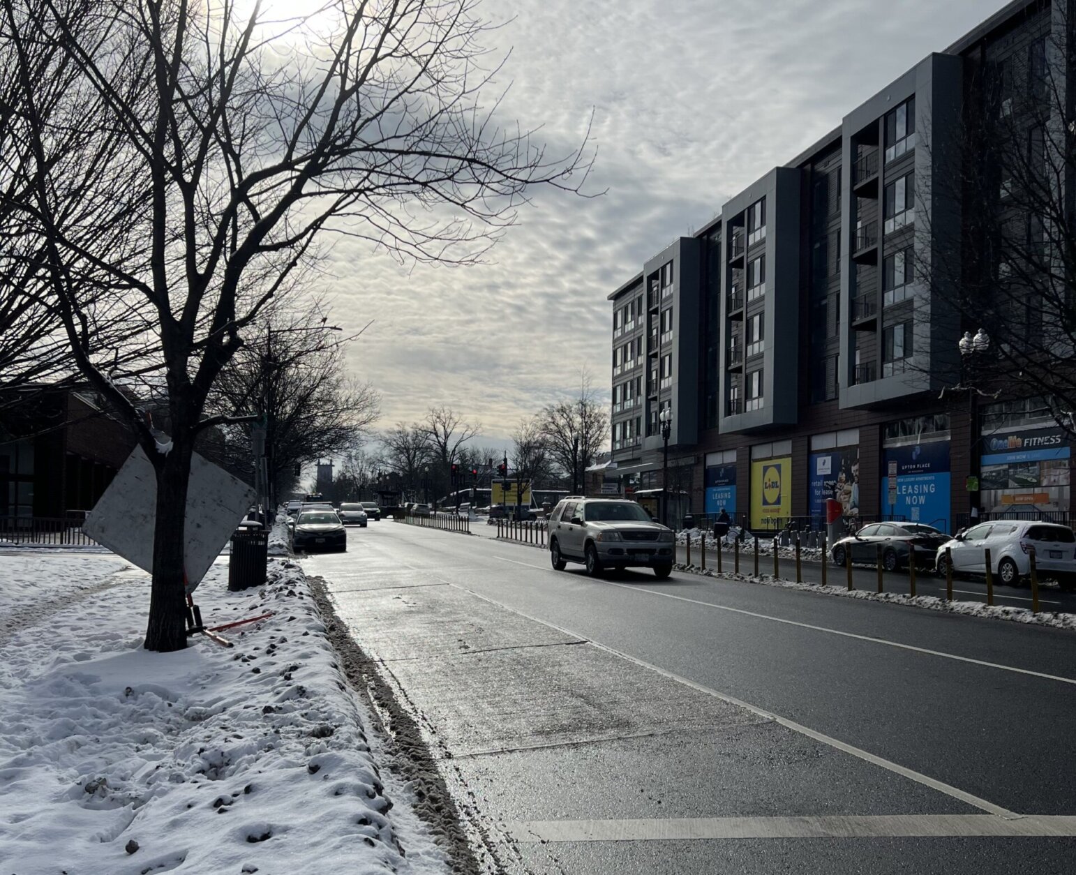
Lukert didn’t notice much accumulation along major roadways — just some slush around medians and sidewalks.
“That’s because the roads are so salty from Monday’s storms, nothing had a chance to stick,” he said.
Saturday’s above-freezing temperatures likely explain why road treatments were so effective, according to Evans. Roads “were mostly wet thanks to temperatures only slightly below freezing, which allowed treatment and ice melt to work well,” he said.
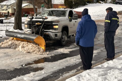
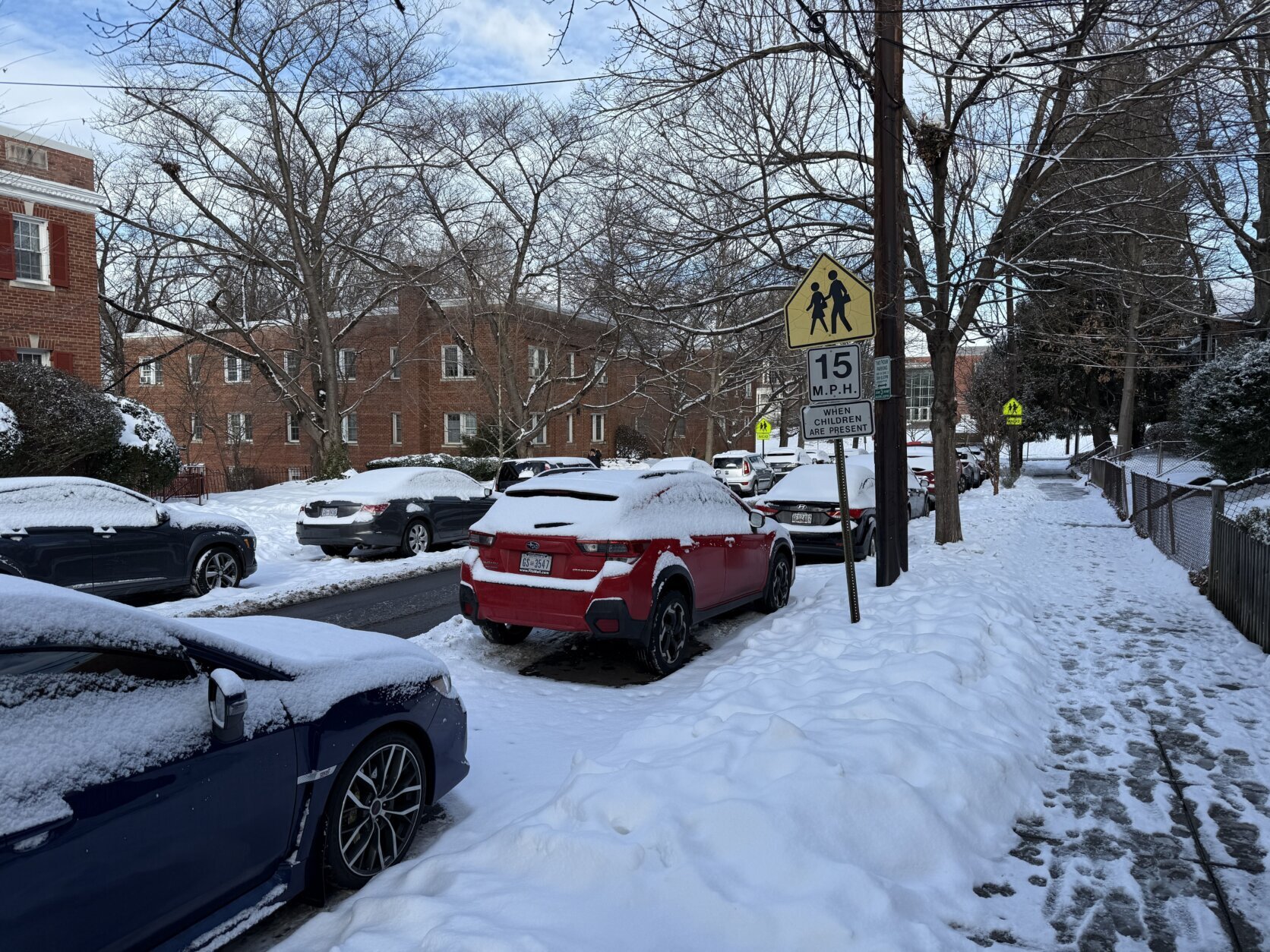
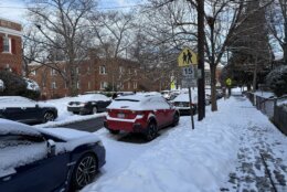
Lukert noted that driving on some major roadways felt like cruising on gravel, thanks to the heavy salt treatments. While those main roads are taken care of, some neighborhood streets have much more snow on them.
“The most treacherous part of your commute is likely right outside your front door,” Lukert said.
- Listen to WTOP online and on the radio at 103.5 FM or 107.7 FM.
- Current traffic conditions
- Weather forecast
- Closings and Delays
- Closings & Delays map for Monday, Jan. 13
- Get custom alerts with the WTOP app for Apple and Android phones
SUNDAY NIGHT: Partly cloudy
Lows: 18-26
Wind Chill: 20s
Winds: South 5-10 mph
Some clouds move in but quiet weather continues with chilly low temperatures. Watch out for slick spots during the morning hours.
MONDAY: Mostly sunny
Highs: 38-42
Wind Chill: 30s
Winds: West 5 mph
Temperatures closer to average in the low 40s under mostly sunny skies.
TUESDAY: COLD ALERT
Blustery
Highs: 25-30
Wind Chill: 10-20
Winds: Northwest 10-20 mph
A dry cold front moves through with even colder air. Very little moisture will be available for this front to produce any snow, except for a few flurries. Blustery conditions will be the case throughout the day.
WEDNESDAY: COLD ALERT
Sunny and windy
Highs: 25-30
Wind Chill: 10-20
Winds: Northwest 10-20 mph
Tuesday’s Arctic front will bring bitterly cold temperatures and winds. Highs will barely get out of the 20s under mostly sunny skies. With northwest winds 10 to 20 mph, wind chills will be in the 10s.
THURSDAY: Mostly sunny
Highs: 29-34
Wind Chill: 20s
Wind: Southwest 5 mph
Another cold and sunny afternoon, with slightly milder temperatures.
Current conditions
Get breaking news and daily headlines delivered to your email inbox by signing up here.
© 2025 WTOP. All Rights Reserved. This website is not intended for users located within the European Economic Area.