Listen live to WTOP for traffic and weather updates on the 8s.
This video is no longer available.
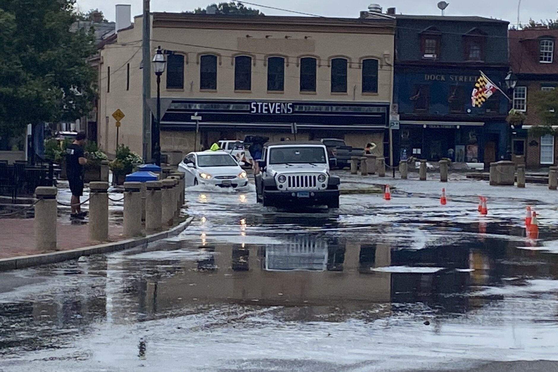
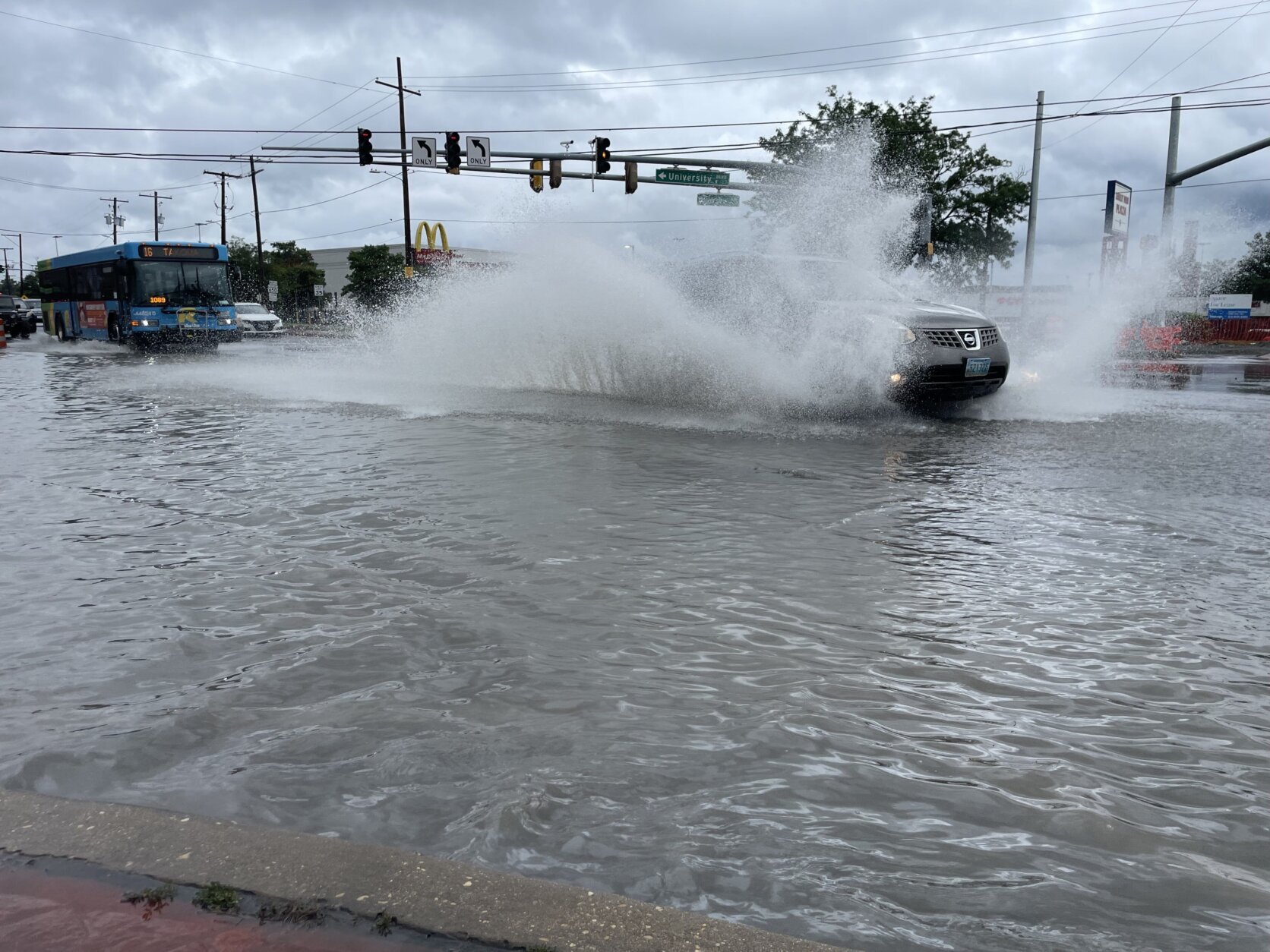
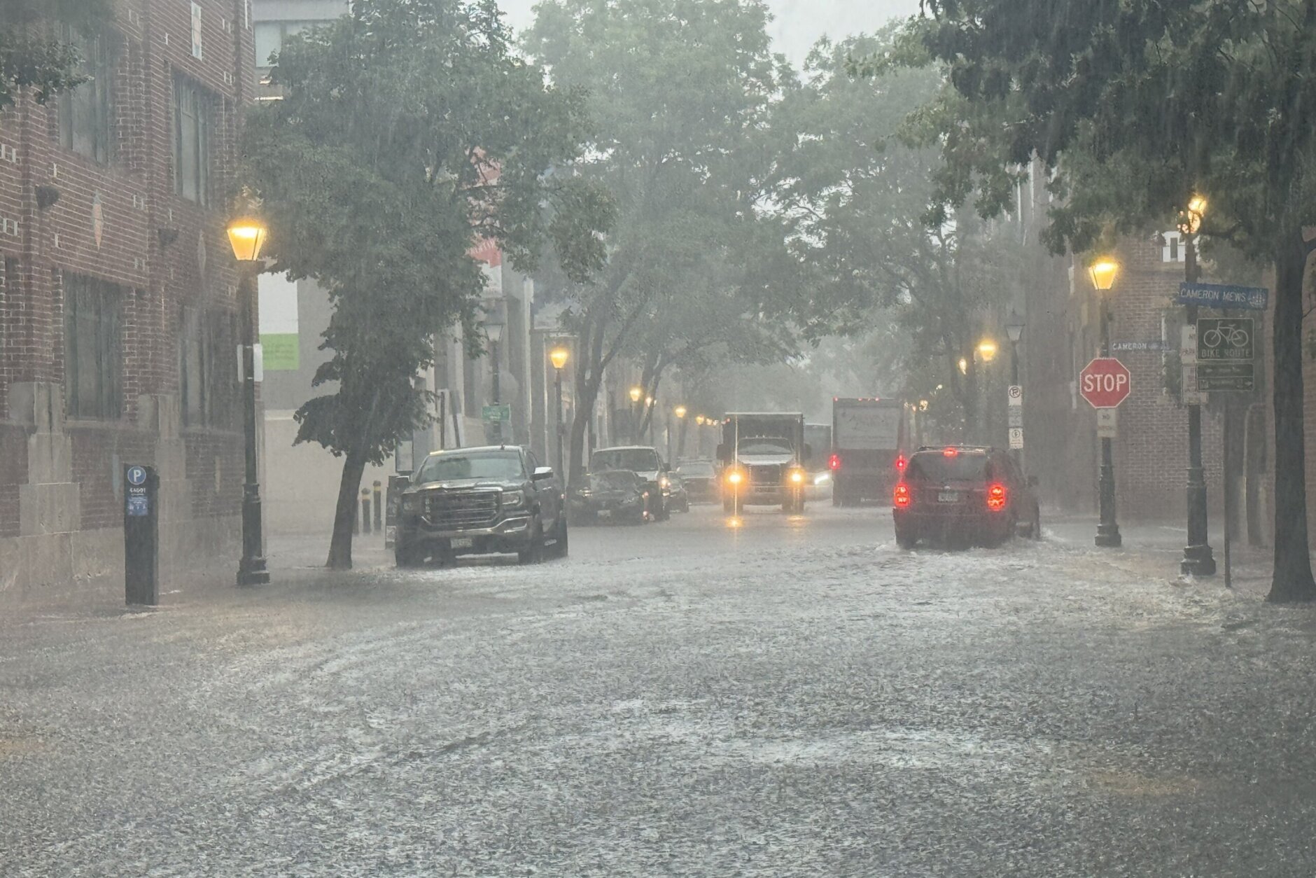
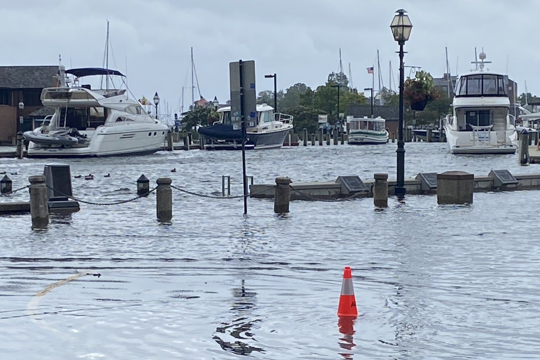
Post Tropical Cyclone Debby moved out of the D.C. area Friday afternoon after drenching the region with heavy rains and high winds throughout the morning.
However, a cold front approaching from the west brought the chance for a few more scattered showers and some gusty thunderstorms through Friday evening, WTOP meteorologist Mike Stinneford said, adding that conditions will remain “rather muggy” for the rest of the day.
“Not expecting a big outbreak of severe weather but some storms can produce some gusty winds and heavy rainfall,” Stinneford said.
Any storms were expected to end quickly and skies will clear up overnight.
Overall, remnants from Debby dumped between 2.5 to 4.5 inches of rain Friday morning. Parts of the area were under a tornado watch, which was canceled around noon, but not before the National Weather Service issued tornado warnings in parts of Northern Virginia.
A flood warning in effect was in effect until 10 p.m. Friday for the major bodies of water around the D.C. metropolitan area where roads have the likelihood of flooding due to increased water levels, according to the NWS.
A ground delay was reported at Reagan National Airport in Arlington until 10 p.m. “due to low ceilings,” according to the FAA.
Earlier, the threat of severe weather prompted school systems to modify their schedules for Friday, including closures and cancellations.
Showers will stick around late into Friday evening, and winds should also die down overnight, with breezy conditions on Saturday morning.
“Good news is, much nicer for the weekend, with sunshine and lower humidity,” WTOP meteorologist Lauryn Ricketts said.


- Listen to WTOP online and on the radio at 103.5 FM or 107.7 FM.
- Current traffic conditions
- Weather forecast
- Closings and Delays
- Sign up for WTOP alerts
FORECAST
FRIDAY NIGHT: Clearing skies. Lows mid 60s to lower 70s
SATURDAY: Partly to mostly sunny with lower humidity. A passing showers possible southeast of D.C. Highs mid to upper 80s
SUNDAY: Partly to mostly sunny. The humidity will stay low. Highs low to mid 80s
MONDAY: Partly cloudy and pleasant. Highs in the lower 80s
TUESDAY: A chance of a shower. Highs near 80
CURRENT CONDITIONS
Outages
Get breaking news and daily headlines delivered to your email inbox by signing up here.
© 2024 WTOP. All Rights Reserved. This website is not intended for users located within the European Economic Area.