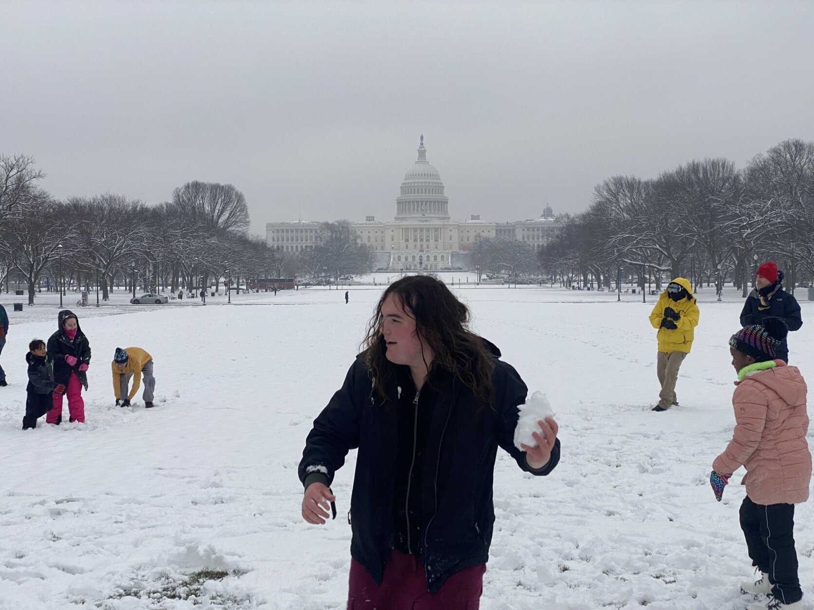
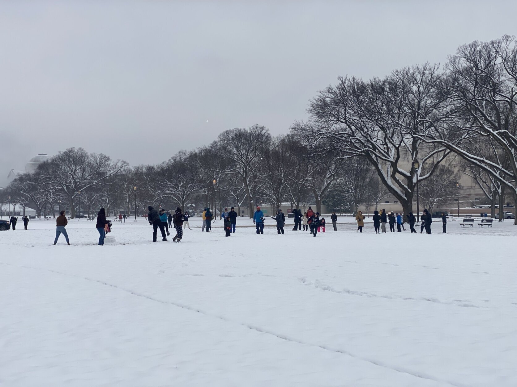
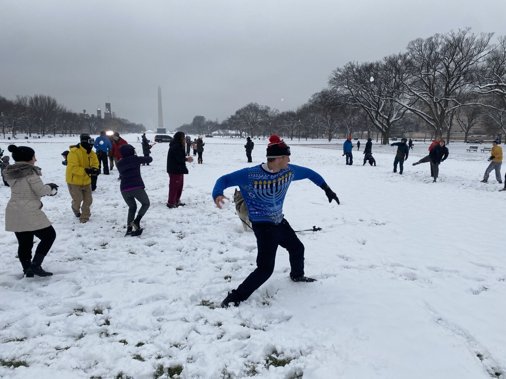
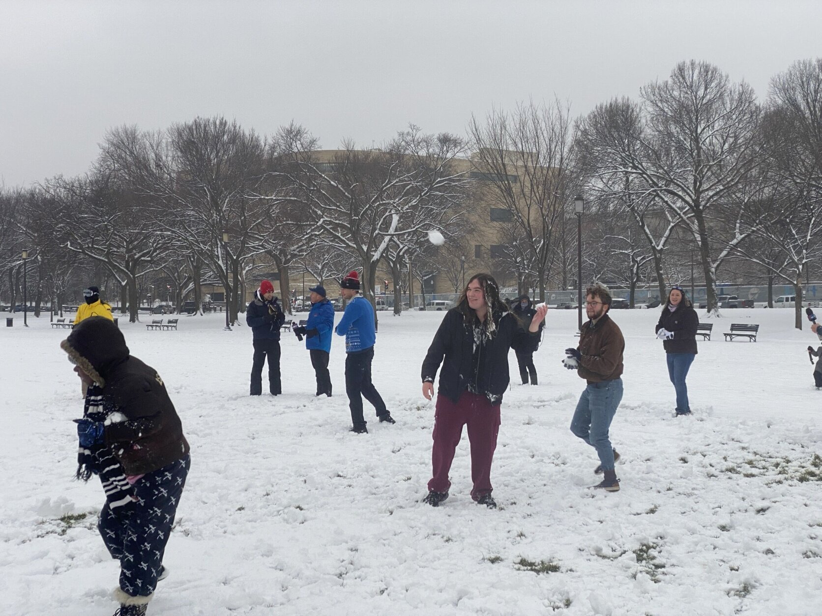
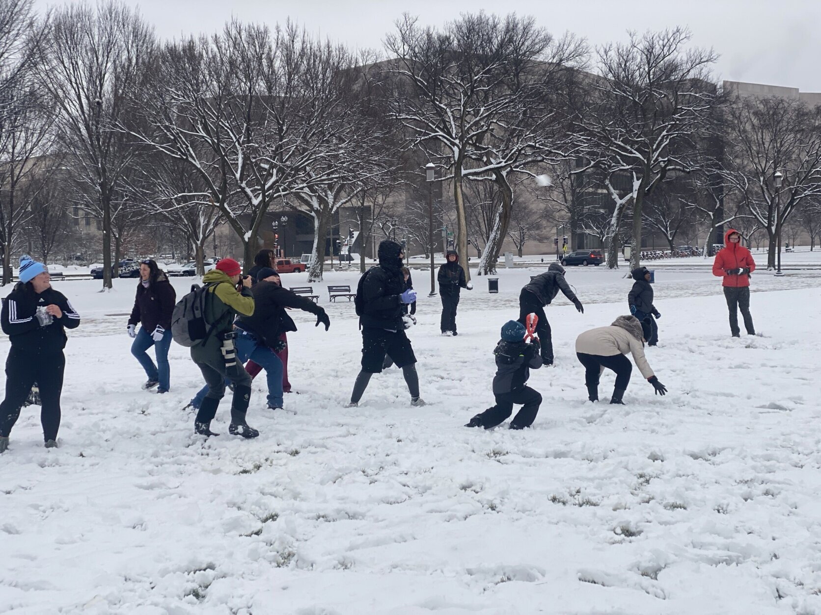
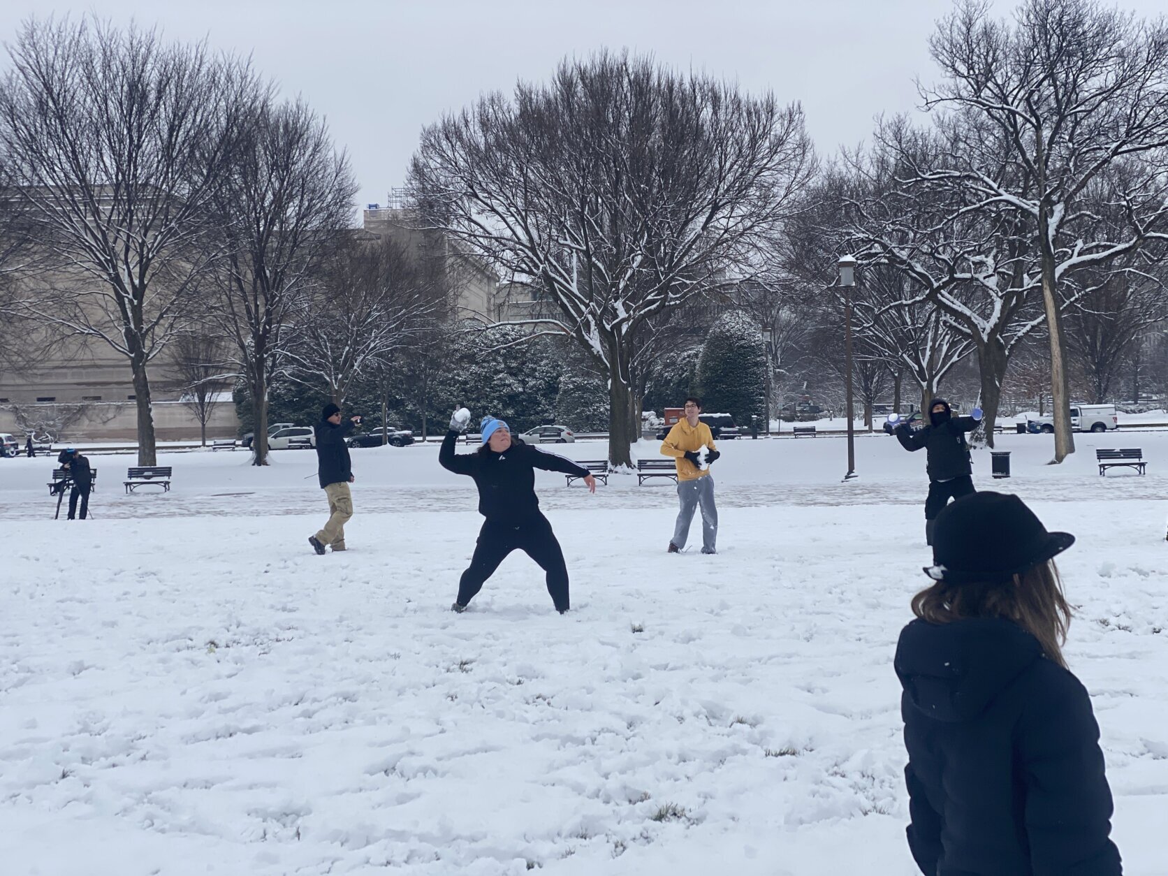
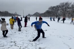
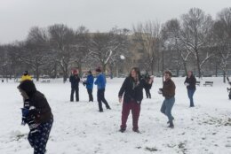
The D.C. area is looking like a winter wonderland after 2 to 6 inches of snow blanketed the entire region Monday and early Tuesday — and that accumulation could stick around and form hazardous ice, courtesy of dangerously low temperatures in the forecast this week.
Wind chills plummeted into the single digits on Tuesday night, even dropping below zero in some areas, according to 7News First Alert meteorologist Mark Peña. Air temperatures reached the single digits to the teens, Peña said.
The cold temps have created what’s called a “hard freeze,” and D.C.-area officials want drivers in particular to be aware.
“Ice is very dangerous. It’s nobody’s friend,” said Charlie Gischlar with the Maryland Department of Transportation State Highway Administration. “There’s going to be some refreeze (Tuesday) night. That’s why we’re keeping our crews in, to make sure we’re patrolling for any icy spots out there. Bridges, ramps, overpasses, elevated roadways always freeze first. So, whatever looks wet out there has the potential to freeze.”
For anyone who has to drive, Gischlar said it’s imperative to driver at a slower speed. Leaders with the Virginia Department of Transportation echoed that message.
The potential for a refreeze and slick roads led several D.C.-area school systems to announce closures and delays for Wednesday.
Frigid temperatures will stick around Wednesday, with wind chills remaining in the teens for most of the day.
The cold temperatures pose a hazard not only for drivers, but for anyone spending time outside.
D.C. Mayor Muriel Bowser activated a cold weather emergency that extends through Thursday, and she’s among the officials encouraging residents to stay indoors, if possible.
The District is also asking residents to check on neighbors and avoid using gas-fueled devices to heat their homes amid the winter weather. Some shelters and outreach services have already gotten underway to help D.C. residents get through the cold blast.
Montgomery County in Maryland has also issued a Cold Emergency Alert until 9 a.m. Thursday, saying dangerously cold temperatures could cause hypothermia and frostbite.
“The cold that we’re getting ready to experience (Tuesday night), into (Wednesday) and later in the week is very concerning from a public health standpoint,” Montgomery County Health Officer Dr. Kisha Davis said. “We want to make sure that people understand the risk.”
Black ice can pose a danger for pedestrians, too.
“Be careful. That pavement or asphalt that looks like it’s wet very well might be (black) ice. This time of year, we certainly see a lot of slip-and-falls, broken wrists, twisted ankles from people who weren’t being careful, not to mention the strained backs from shoveling snow,” Davis said.
While it won’t be the warmest day, Thursday brings better chances for melting, with highs approaching 40 degrees, according to Peña.
But any snow that does melt may be replaced with a fresh coat of snow to end the week.
“Right now, forecast models are trending upward with chances for snow,” Peña said. “We had about an inch to 2 inches in the forecast earlier (Tuesday) morning and now we’re looking more about 1-3 inches.”
Peña said the latest forecast has snow beginning to fall Friday morning, with snowfall ending by Friday evening.
Full forecast
WEDNESDAY:COLD ALERTSunny, Very Cold Highs: Upper 20s/Low 30sWind Chills: Single digits to 20sWinds: West 5-15, Gusts 20 mph Despite abundant sunshine, the day will feature bitterly cold temperatures and wind chills. Winds out of the northwest will be around 5 to 10 mph, but wind chills will make it feel like the 10s and 20s. Any accumulating snow from Tuesday will likely stick around for a few days.
WEDNESDAY NIGHT:Mainly ClearLows: 12-20Winds: Southwest 5 mphWe’re in for another very cold night with temperatures well below freezing. Any snow melt today will re-freeze tonight, so watch for patches of ice tonight and early Thursday morning. THURSDAY:Mostly CloudyHighs: 35-40Winds: Southwest 5-10 mphMostly cloudy and cold with an increasing chance for scattered snow showers overnight, as our next weather maker approaches.
FRIDAY:WINTER ALERTSnow LikelyHighs: 31-36Winds: Northeast 5-10 mphPlan for another round of snow Friday. Snow will develop overnight, so snow is possible for the Friday morning commute. Light snow will continue through the afternoon and will come to an end by 7 p.m. Accumulations of 1-3″ are possible. Our team will monitor snowfall trends and provide updates, as new information comes in.
THIS WEEKEND: The upcoming weekend is trending very cold and blustery. Temperatures will likely be below freezing throughout the weekend with wind chills in the single digits and teens. A pattern change is expected next week with high temperatures Tuesday back into the upper 40s with highs in the upper 50s by the end of the week.
Get breaking news and daily headlines delivered to your email inbox by signing up here.
© 2024 WTOP. All Rights Reserved. This website is not intended for users located within the European Economic Area.


