


Most of the heavy rains have passed as clouds make way for clearer skies overnight, into a mostly sunny Sunday. Until that happens, there are still some flooding risks leftover from the record breaking rainfall. Here’s what you need to know.
The Latest:
- The City of Alexandria has rescheduled its fireworks display for Sunday because of weather.
The heavy rains dominated the D.C. region early Saturday, after storms began in the area overnight and into the morning hours.
By 2 p.m. Saturday, Dulles International Airport recorded 2.31 inches of rain, shattering the former record for July 9 (set in 1970) of 2.23 inches. Reagan National Airport reported over four inches of rainfall, approaching their daily record of 4.69 inches from 1970.
In Arlington County, nearly 1.4 billion gallons of rain has fallen with more to come later in the day, said Storm Team4’s Ryan Miller.
“We have picked up a months worth of rain in many locations,” Miller added
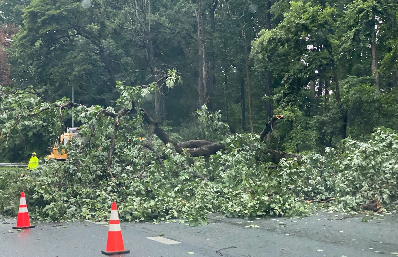
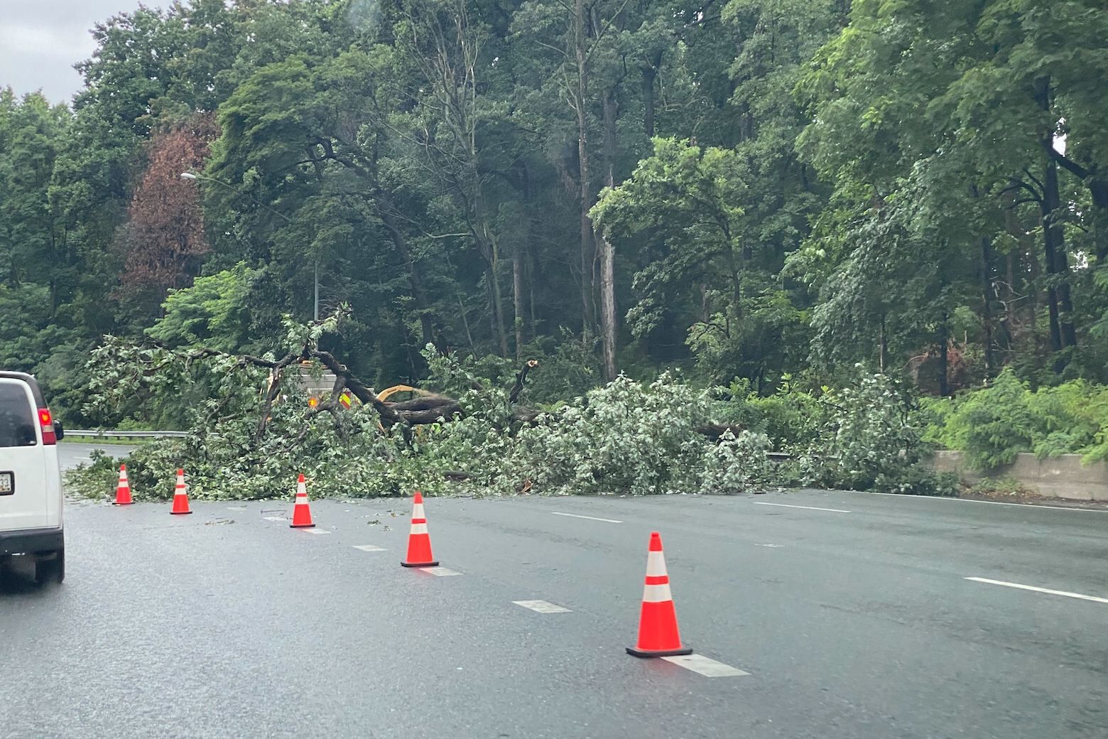
Though the heaviest rain appears to have passed, flooding is still a risk. If you are traveling on Saturday, do not attempt to pass through high standing water — drive around it, or find another route.
Saturday night, expect some patchy fog and light scattered showers with cool temps in the 60s.
The City of Alexandria told WTOP that its birthday fireworks celebration has been postponed because of the rain until Sunday. The show will start at 9:30 p.m. at Oronoco Bay Park.
Low-lying roads inside the Beltway are flooding and areas that typically flood in the D.C. area are seeing a lot of water Saturday morning.
“The heaviest downpours will continue in the southern suburbs, elsewhere occasional light to moderate showers are expected to continue,” Storm Team4 Meteorologist Chad Merrill said.
As of 7 a.m. Saturday, Reagan National Airport has recorded 4 inches of rain over the last 10 hours. A typical July gets 4.33 inches, meaning almost a month’s worth of rain has fallen in just the overnight hours, according to Storm Team4 Meteorologist Ryan Miller.
Dulles International Airport has seen 2.16 inches of rain so far on Saturday. The record for rainfall there was 2.23 inches in 1970. BWI Marshall Airport has seen a little less than an inch of rain.
Dry weather won’t come until after 9 p.m. to midnight from D.C. and north and likely not until after midnight into the morning for areas south of D.C.
Some spots may also experience around 4 to 7 inches while dealing with heavier showers and thunderstorms, the National Weather Service said.
Montgomery County, Maryland, was hit the hardest early on. WTOP Traffic Reporter Dave Dildine reported multiple roads — specifically Bradley Boulevard between River Road and Seven Locks Road in Bethesda — were flooded during the storm. Westbound River Road was closed for high water with a small car that got stuck in flood water.
WB River Road closed at Whittier Blvd for high water and a small car that stalled #mdwx #mdtraffic h/t @CordellTraffic pic.twitter.com/YpOwFcHJDj
— Dave Dildine (@DildineWTOP) July 9, 2022
Cooler temperatures are expected in the evening in the upper 60s to low 70s.
Otherwise, the rest of the weekend has the potential to get much closer to a clear summer’s day Sunday, and the sunshine will likely continue into Monday.
After a few hot days, a chance of storms is expected to come again on Wednesday, Miller said.
- Listen to WTOP online and on the radio at 103.5 FM or 107.7 FM.
- Current traffic conditions
- Weather forecast
- Sign up for WTOP alerts
Forecast
SATURDAY NIGHT: Rain ending from north to south and remaining cloudy. Humid. Lows near 70; 60s north.
SUNDAY: Partly cloudy, less humid and pleasant. Highs in the low 80s.
MONDAY: Mostly sunny, pleasant. Highs in the mid 80s.
TUESDAY: Mostly Sunny, warmer and more humid. Highs in the mid 90s.
WEDNESDAY: Party sunny, with a chance of afternoon thunderstorms. Highs in the lows 90s.