Key points:
- The Wind Advisory issued for the WTOP listening area Monday has been canceled early.
- Roads, highways and sidewalks are icy — use extra caution and drive slow.
- There are limited wind restrictions on the Bay Bridge.
For the latest road and traffic conditions, see WTOP’s traffic page or listen to updates every 10 minutes online or on the air at 103.5 FM. Download the free WTOP News app for Android and Apple phones to sign up for custom traffic and weather alerts.
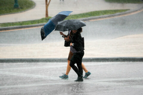
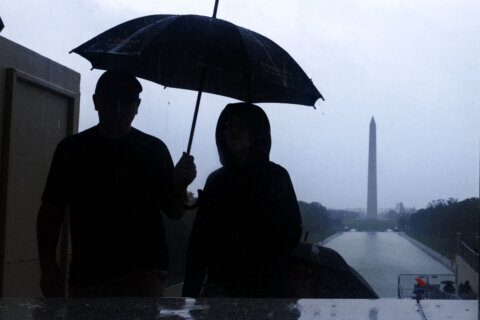
The storm might be over, but its impact is still being felt far and wide: Conditions were blustery and frigid Monday in the wake of Sunday’s winter storm, and there will be a hard freeze Monday night. Here’s what you need to know.
The main focus Monday was on plummeting temperatures and howling winds as the broad area of low pressure that brought the area snow, sleet, freezing rain and even a rare midwinter severe thunderstorm warning races off to the northeast.
Cold air funneling back into the region from the Great Lakes ushered in a deep freeze that will prolong travel headaches for at least another day or two. Use extra caution on untreated sidewalks, driveways, bridges, highway ramps and overpasses, all of which are likely to be treacherous.
Expected gusts of up to 55 mph led to a wind advisory until 10 p.m. Monday, bit it was canceled early just after 6:30 p.m.
As the strong gusty winds subsided, thanks to a high pressure from the west heading to the D.C. area, the next thing to mind will be a hard freeze Monday night.
“Any standing water, puddles and residual slush will freeze tonight; luckily the persistent strong winds have dried out many surfaces and roads that were merely wet,” Storm Team4 meteorologist Matt Ritter said.
As the center of high pressure builds on Tuesday, the winds will slacken even further and high temperatures will feel milder than Monday, even though the numbers will be similar.
High pressure will move away on Wednesday, leading to a broad southerly wind pattern that will pump in very mild temperatures but they won’t last. A strong cold front will bring some showers late Wednesday, lasting into the night, and then ending with the frontal passage Thursday morning — possibly as a changeover to some wet snow for a few hours.
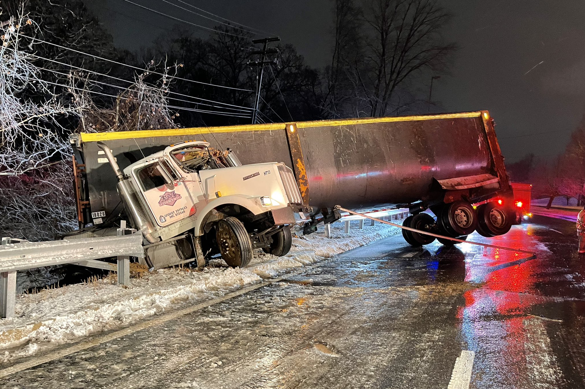
With the memory of the Interstate 95 jam still fresh, crews have been working throughout Northern Virginia amid Monday’s freezing temperatures. Virginia Department of Transportation spokeswoman Darragh Frye said I-95 near Fredericksburg had been cleared in time for morning rush hour, but urged drivers to be vigilant for icy patches and provide for extra travel time.
“We do have road conditions that are still slick and slushy, especially in the Fredericksburg area,” Frye said. “Most of our primary routes in the Fredericksburg, Northern Neck and middle Peninsula areas are clear, but many of our secondary roads and subdivision streets remain in minor to moderate condition, which means they do have patches of snow on the road surface and are passable with caution.”
A spokeswoman for the Maryland Department of Transportation, Shantee Felix, observed much the same in her state, where a fleet of 1,700 salt trucks and snow plows had been working roadways since before the storm began Sunday. Snowfall at the storm’s onset, she said, kept their treatment solution from washing away too early.
“We were able to get out there before the event started and apply our anti-icing treatment … the fact that this started out as snow made this ideal,” Felix said.
Public schools have Monday off for Martin Luther King Jr. Day, but cold weather and overnight refreezing could mean more days off this week.
“Icy roads could lead to multiple school delays or cancellations on Tuesday and, for some, on Wednesday too,” Bell said. “With some clearing this evening, temperatures will drop into the low- to mid-20s by Tuesday morning.”
D.C. officials are warning of a frostbite threat on Monday. Residents are advised to limit exposed skin and time spent outdoors. Hypothermia shelters are open in recreation centers and other public buildings. To request shelter transport for residents experiencing homelessness, call 311 or the shelter hotline at 202-399-7093.
Mass transit changes
Metrobus: Buses will operate on a supplemental Saturday schedule, with some routes seeing additional trips throughout the day. Service and hours will vary by route, so riders are advised to check their routes ahead of time.
Metrorail: Will run on a normal weekday schedule. Red Line trains will run every 12 minutes; Blue, Orange and Silver Line trains every 24 minutes; and Green and Yellow Line trains every 20 minutes.
Virginia Railway Express: VRE will not run on Monday.
MARC: Brunswick Line will not operate due to winter weather. Penn Line will operate on a Sunday schedule with no service to or from Martin Airport station, and the Camden Line will run on an R schedule.
OmniRide Express: Buses will not run due to the holiday.
OmniRide Metro Express: Manassas Metro and Linton Hall express lines are suspended.
DASH Bus: DASH buses will run on a Saturday schedule for the holiday.
Fairfax Connector: Fairfax Connector will operate on a holiday weekday service with detours.
The Bus: Routes 11, 13A, 14, 16, 17, 18, 19, 20, 21, 21x, 23, 24, 26, 28, 30, 32, 33, 34, 35, 36, 37, 51 Loop A and B are operating.
RideOn: There will be reduced bus service due to bus driver shortages. RideOn Flex and extRa services are suspended.
ART Transit: ART 41, 42, 45, 51, 55, 77 and 87 will run Saturday schedules. All other ART routes will not operate.
VanGO: VanGO will operate a modified schedule on Monday.
Loudoun County Transit: The commuter bus service will not run because of the holiday. Local Fixed Route Bus Services — including Routes 72, 985 and 84 == will operate on a regular schedule.