
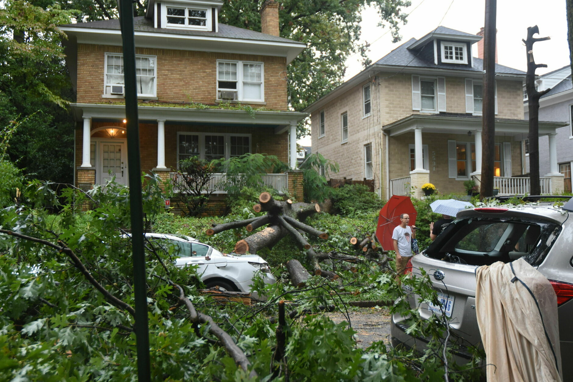
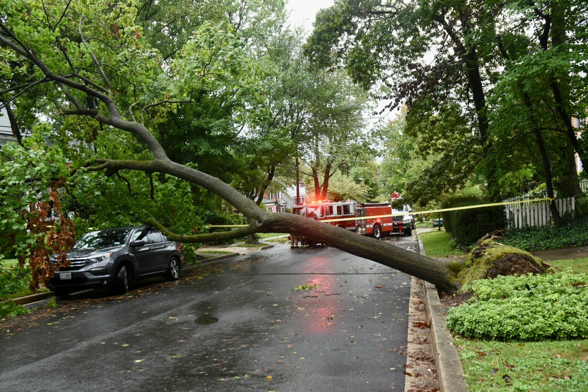



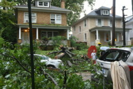
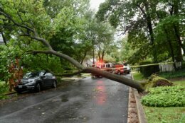
Heavy rain led to a treacherous morning commute across the D.C. region Thursday, with high-standing water on major highways and water rescues.
Storms eventually drifted away from the area leaving patches of sunshine and cloud cover.
By early afternoon, the storm itself produced roughly 1 to 3 inches across the region, with some areas seeing closer to 4 inches of rain.
Power outages that were present in some counties early in the day were restored and floodwaters receded.
By 4 p.m., storm clouds thinned, revealing most roadways and a comfortable autumn day.
- Listen to WTOP online and on the radio at 103.5 FM or 107.7 FM.
- Current traffic conditions
- Weather forecast
- Sign up for WTOP alerts
Various lanes of I-66 had been blocked by high water between exits 53 and 55 in Centreville. WTOP Traffic Reporter Ian Crawford described high-standing water in Centreville and Arlington before dawn, “like a fishing pond, you might as well stock it with trout.”
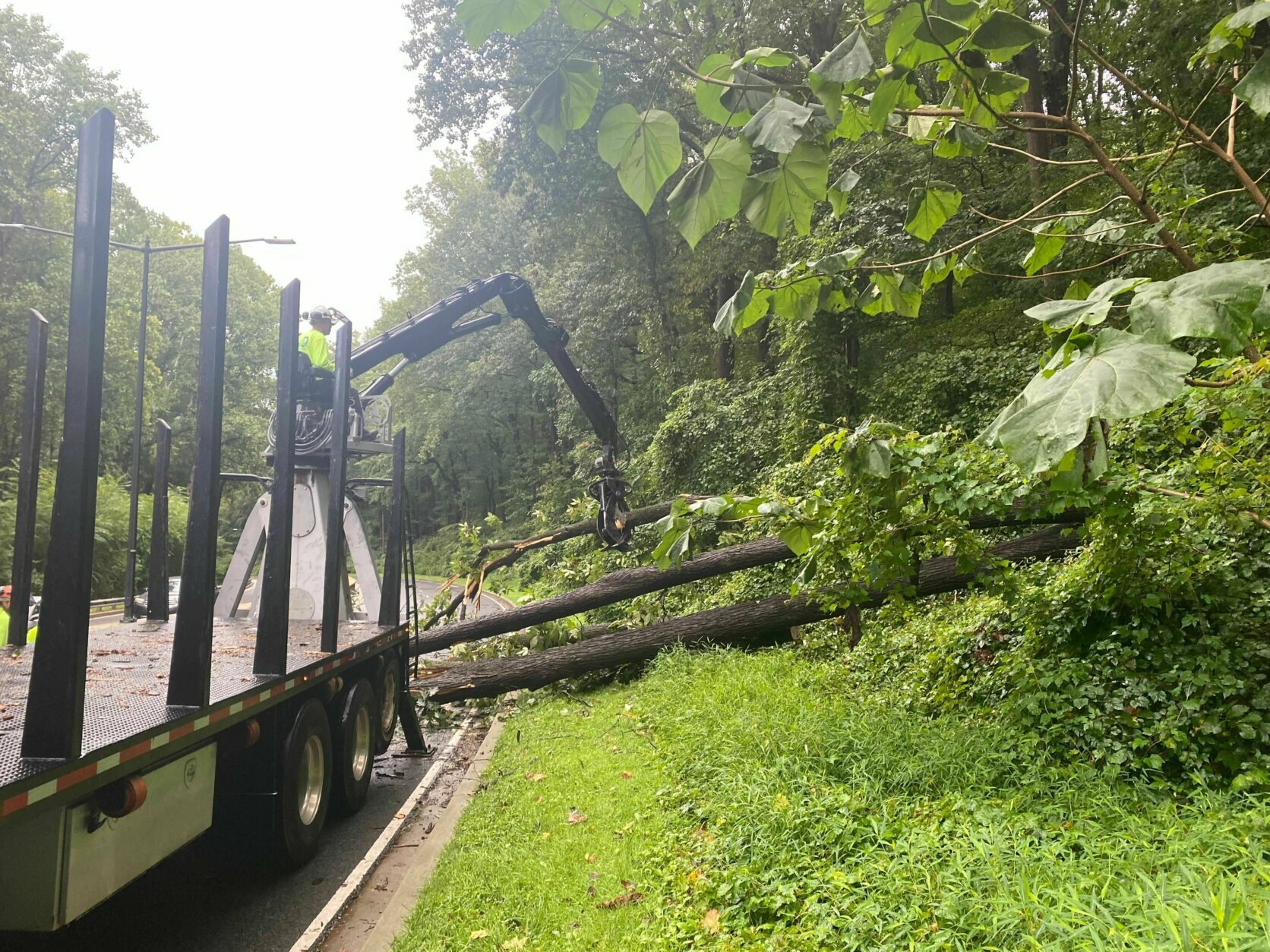
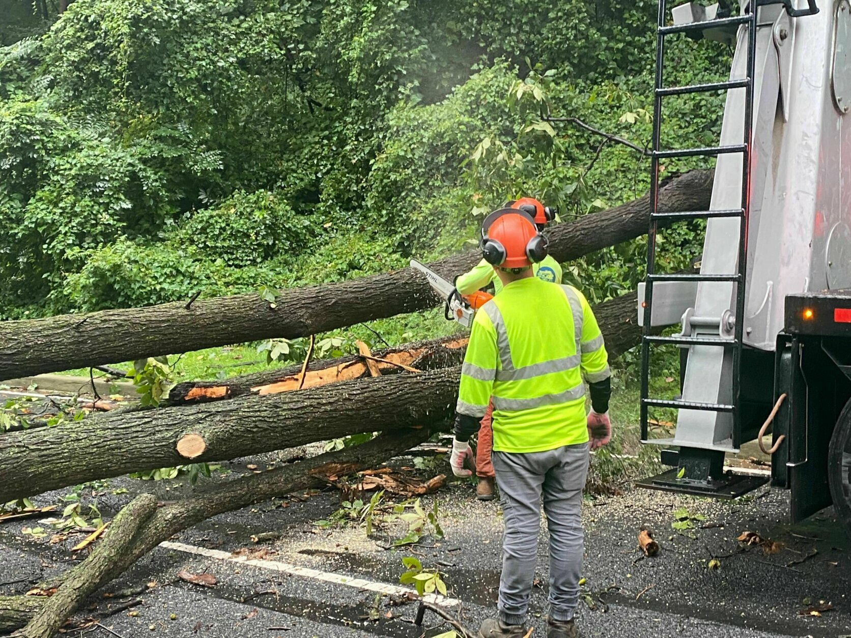
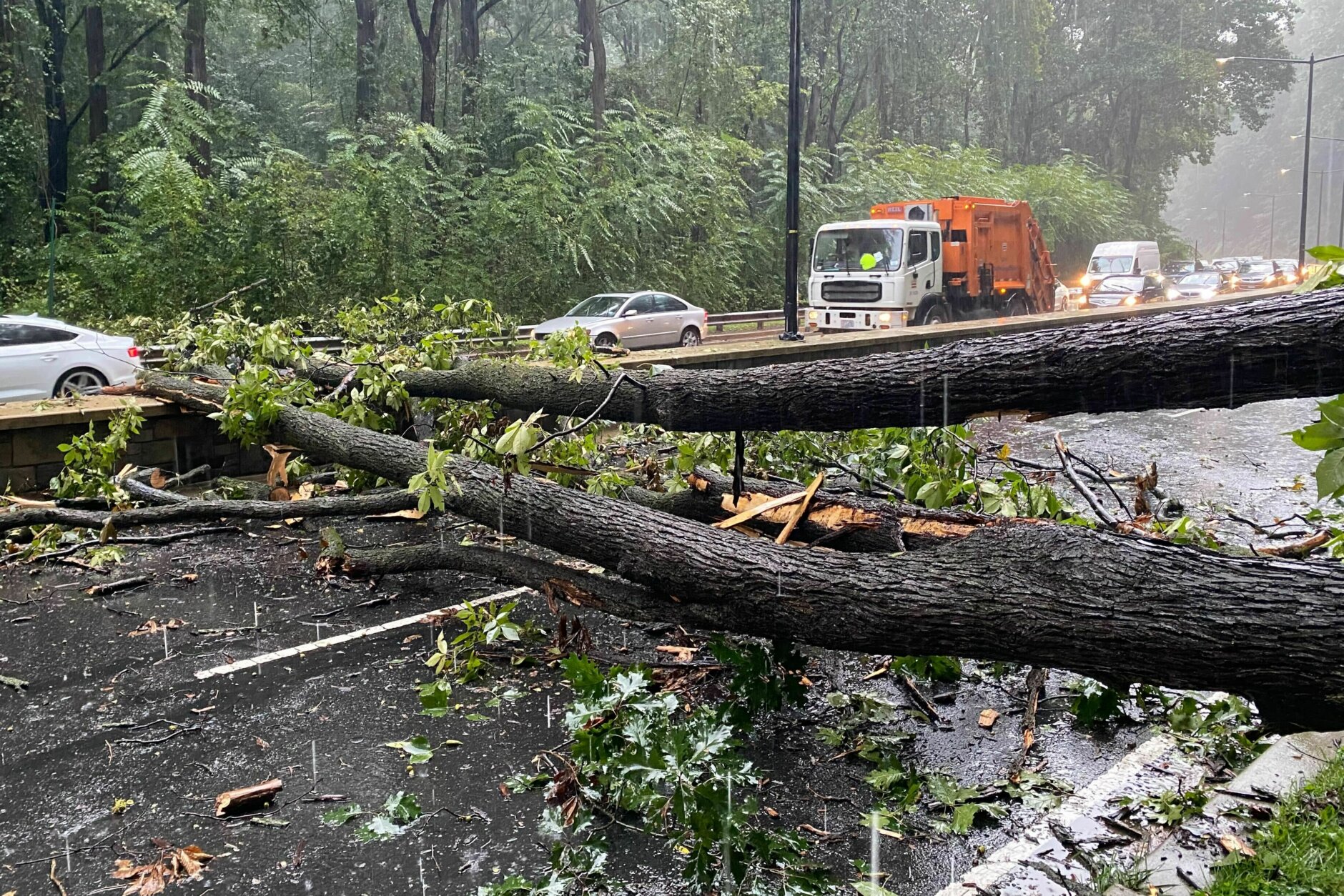
In the District, a downed tree forced eastbound Military Road to close after Beach Drive in Rock Creek Park.
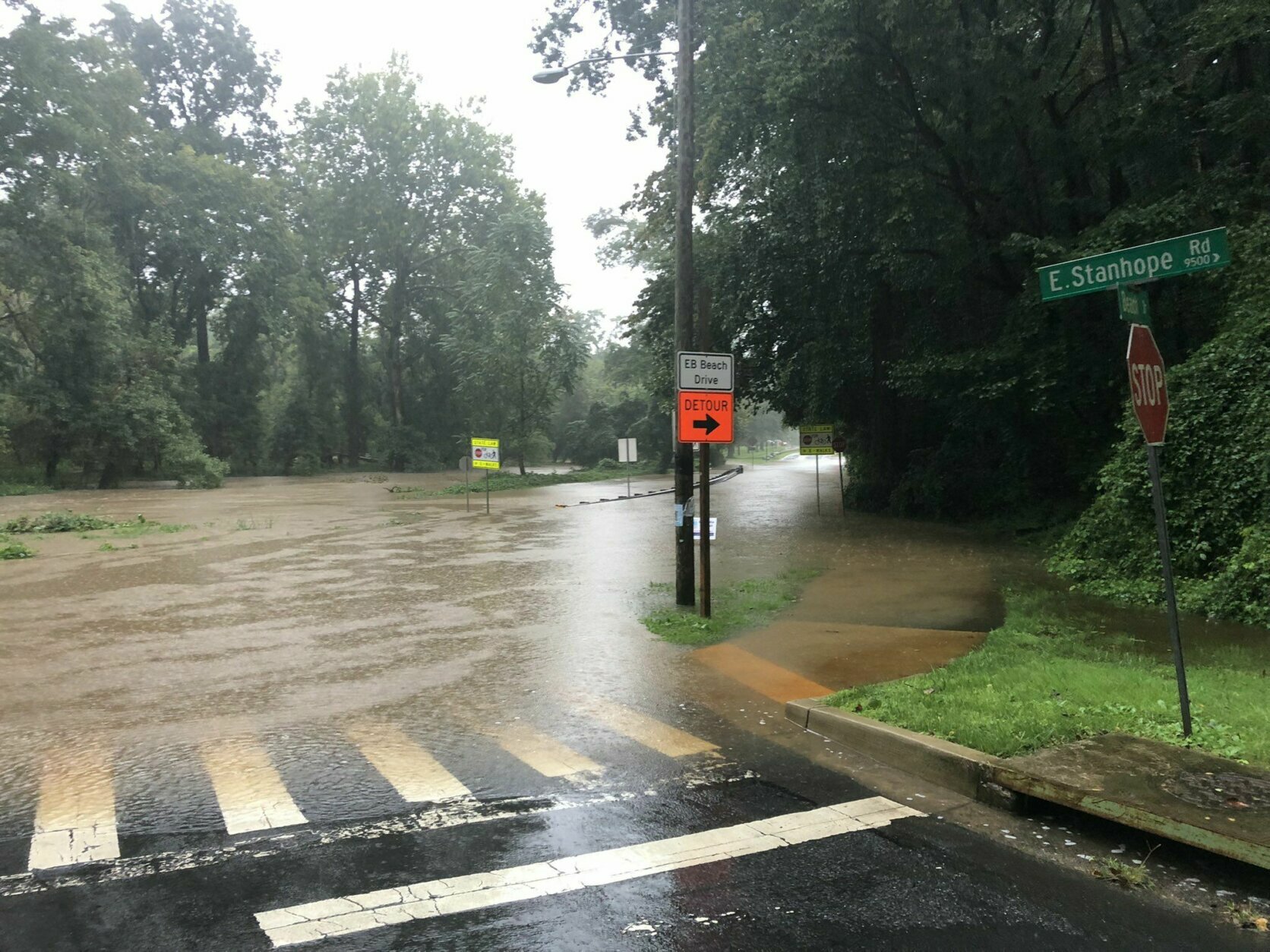
Flooding also shut down Md. Route 355 in both directions near Urbana. Montgomery County Fire and Rescue spokesman Pete Piringer said crews helped a driver from a vehicle stalled in high water at Connecticut Avenue and Beach Drive, where Rock Creek had overtopped its banks.
“We all know places that flood whenever it rains, but this morning I was surprised by ponding at several low-lying locations,” WTOP’s Neal Augenstein reported on a drive through Fairfax County during Thursday morning rush.
Swift water rescues were carried out in Frederick County’s Libertytown and Walkersville, where rainfall rates of up to 2 inches per hour led to rapid flooding.
For the latest road and traffic conditions, see WTOP’s traffic page or listen to updates every 10 minutes online or on the air at 103.5 FM. Submit traffic tips by calling 866-304-WTOP or tagging @WTOPtraffic on Twitter.
Beach Drive near Cedar Lane, Rock Creek has overflowed its banks NOTE Park PD in process of CLOSING Beach Drive, earlier water rescue near Connecticut Avenue not far from here REMINDER if you come across water like this turn around don’t drowned pic.twitter.com/VhA9GIdQO3
— Pete Piringer (@mcfrsPIO) September 23, 2021
Lingering showers are still possible in the evening, but the overall trend will continue to be a drying one: “The rain will be over by early evening and rapid clearing will take place tonight,” Storm Team4 meteorologist Chuck Bell said.
Friday morning will be less humid and cooler, with morning lows in the 40s and 50s — much more typical of fall than this week’s tropical air mass.
Forecast:
Thursday: Showers and thunderstorms gradually end from west to east. Some clearing out west. Highs in the upper 60s to mid 70s.
Friday: Sunny and fresh breeze. Lower humidity. Highs in the 70s.
Saturday: Mostly sunny. Low humidity with a light breeze. Highs in the mid 70s.
Sunday: Mostly sunny with low humidity. Highs in the 70s.
Current conditions:
Power outages:


