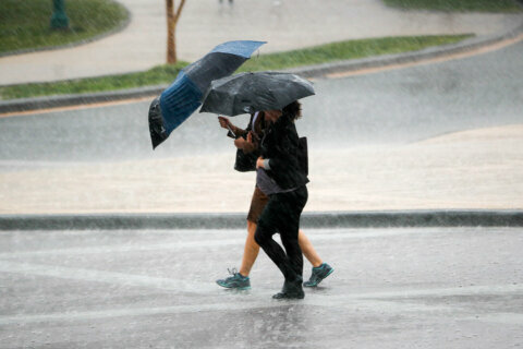
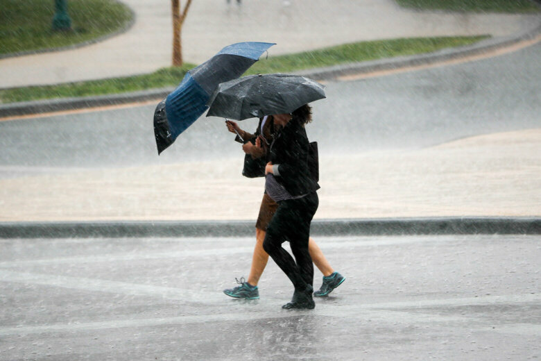
Late storms in the D.C. area brought heavy rain, winds and the risk for flooding. Here’s what you need to know.
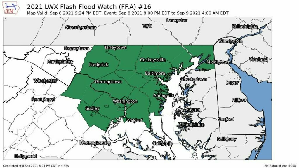
The flash flood watch for most of northern Maryland has been extended to include the majority of the D.C. region until 4 a.m. A flash flood warning had been issued for Frederick County, Maryland, before it was cancelled.
StormTeam4 meteorologist Matt Ritter said the humidity Wednesday made for a “steamy” afternoon. A few isolated thunderstorms developed south and east of D.C., and a strong cold front brought the higher chance of thunderstorms for the rest of the listening area.
Throughout Wednesday night, the National Weather service issued severe thunderstorm warnings and watches for the D.C. area, with strong storms possible especially near Interstate 81.
“Some of the storms could have some downpours, some hail, and some gusty winds,” Ritter said. “If not for the front coming in during the late evening and nighttime hours after peak heating, the threat for severe weather would be even higher than it is.”
After midnight, the intensity of the storms starts to die down and break up into scattered showers. They’ll mostly end during the Thursday morning rush, and the area is expected to dry out by Thursday afternoon.
Temperatures will be in the mid- to upper 70s for daytime highs on Thursday with lower humidity.
Friday through the weekend will bring plenty of sunshine and low humidity.
Forecast:
Wednesday night: Storms tapering to scattered showers overnight. Lows in the mid 60s to near 70 degrees.
Thursday: Cloudy in the morning with some leftover scattered showers. Becoming breezy with partial clearing through the afternoon. Very warm but becoming less humid during the day. Highs in the upper 70s to mid 80s.
Friday: Sunny and nice. Temperatures around 80.
Saturday: Sunny and comfortable. Lows in the 80s.
Current conditions:
WTOP’s Abigail Constantino contributed to this report.