Close your eyes and pretend spring came early — with Thursday’s high temperature forecast, one could easily forget it’s barely been a week since you needed a coat to head outdoors.
Afternoon highs are expected to reach the upper 70s to near 80 degrees on Thursday, under mostly sunny skies and a broad region of high pressure parked over the East Coast.
Today’s record highs are 78 degrees at Reagan Airport observed in 1967, and 77 degrees at Dulles International Airport reported in 1990 — meaning all-time daily temperature records are in jeopardy across the D.C. region. Regardless, it’ll be D.C.’s third consecutive day to surpass the 70-degree mark.
- Listen to WTOP online and on the radio at 103.5 FM or 107.7 FM.
- Current traffic conditions
- Weather forecast
- Closings and Delays
- Sign up for WTOP alerts
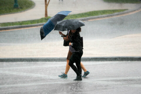
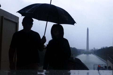
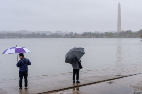
While Thursday’s forecast continues a dayslong trend of springlike weather, it’s not all good news. Much of the D.C. region hasn’t seen significant rainfall in well over a week. Abnormally dry soil, along with near-record highs, gusty winds and low humidity mean Thursday will carry an increased danger for wildfire spread.
Likewise, the National Weather Service has posted a Red Flag Warning for the WTOP listening area until 6 p.m. Thursday due to the presence of weather conditions that can contribute to extreme fire behavior in forests and underbrush.
When a Red Flag Warning is issued, it means the conditions are occurring or will occur shortly.
“All outdoor burning is discouraged, as fires could rapidly spread and become uncontrollable,” the weather service said. “Be careful of heat and sparks while operating any equipment, and avoid smoking in wildland areas.”
State law prohibits open-air burning before 4 p.m. in Maryland and Virginia, and before 5 p.m. in West Virginia.
Near record warmth today thanks to ample sunshine and increasing southwest breezes. However, the warm temperatures, increasing winds, and low humidity will result in an increased danger for wildfire spread for areas under a Red Flag Warning. Details: https://t.co/5RyZgoXicj pic.twitter.com/CTUpeHVxkf
— NWS Baltimore-Washington (@NWS_BaltWash) March 11, 2021
The prolonged dry spell will come to an end late Thursday night, when an approaching cold front will bring rain for the first time since March 1. Springlike highs will tempered, too — at least for now.
“After our warm and sunny Thursday, clouds will roll in this evening and a cold front will arrive on Friday morning,” Storm Team4 meteorologist Chuck Bell said. “This front doesn’t have much moisture to work with, so even though rain is expected, it will not add up to much.”
Drier weather returns this weekend albeit with temperatures more typical of early March. Both Saturday and Sunday will be partly sunny yet noticeably cooler, with highs peaking in the upper 40s to mid 50s.
Forecast:
- Thursday: Sunny with a few morning clouds. Breezy afternoon. Highs in the mid 70s to near 80s — running about 20 degrees above average.
- Thursday night: Becoming overcast. Dry before midnight, then scattered showers by sunrise. Lows in the mid 50s.
- Friday: Mostly cloudy with scattered showers. Rainfall around one-tenth of an inch expected. Highs in the mid to upper 60s.
- Saturday: Partly cloudy. Noticeably cooler and breezy at times. Highs in the upper 40s to mid 50s.
- Sunday: Partly cloudy. Seasonably cool, with highs in the mid to upper 50s.