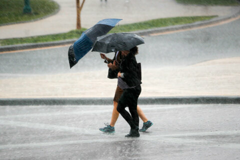
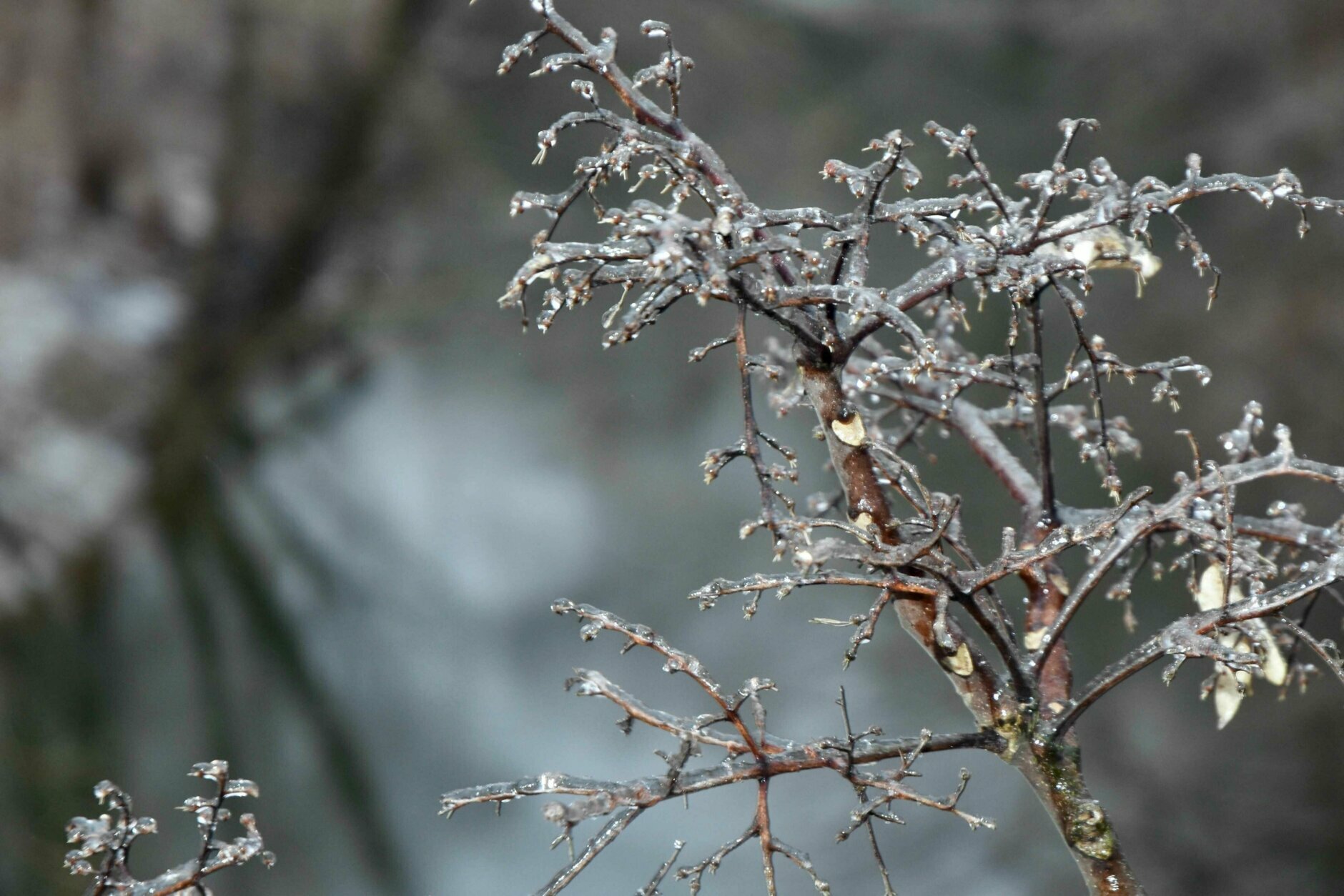
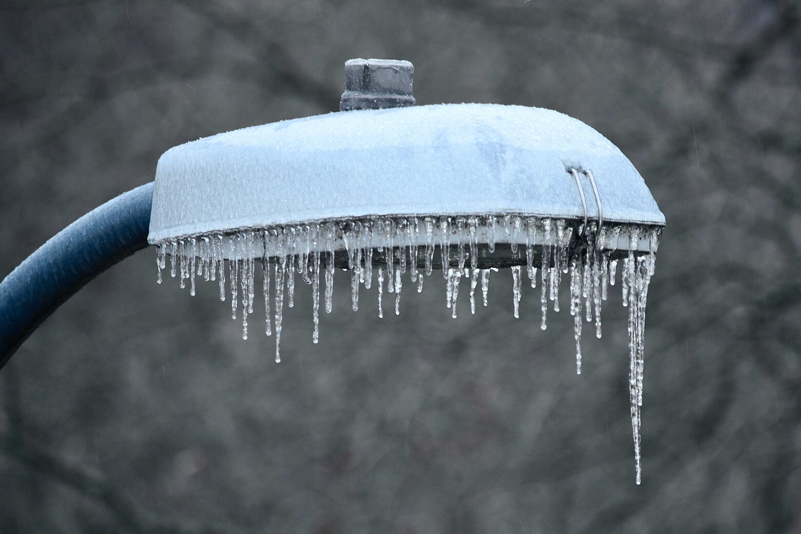
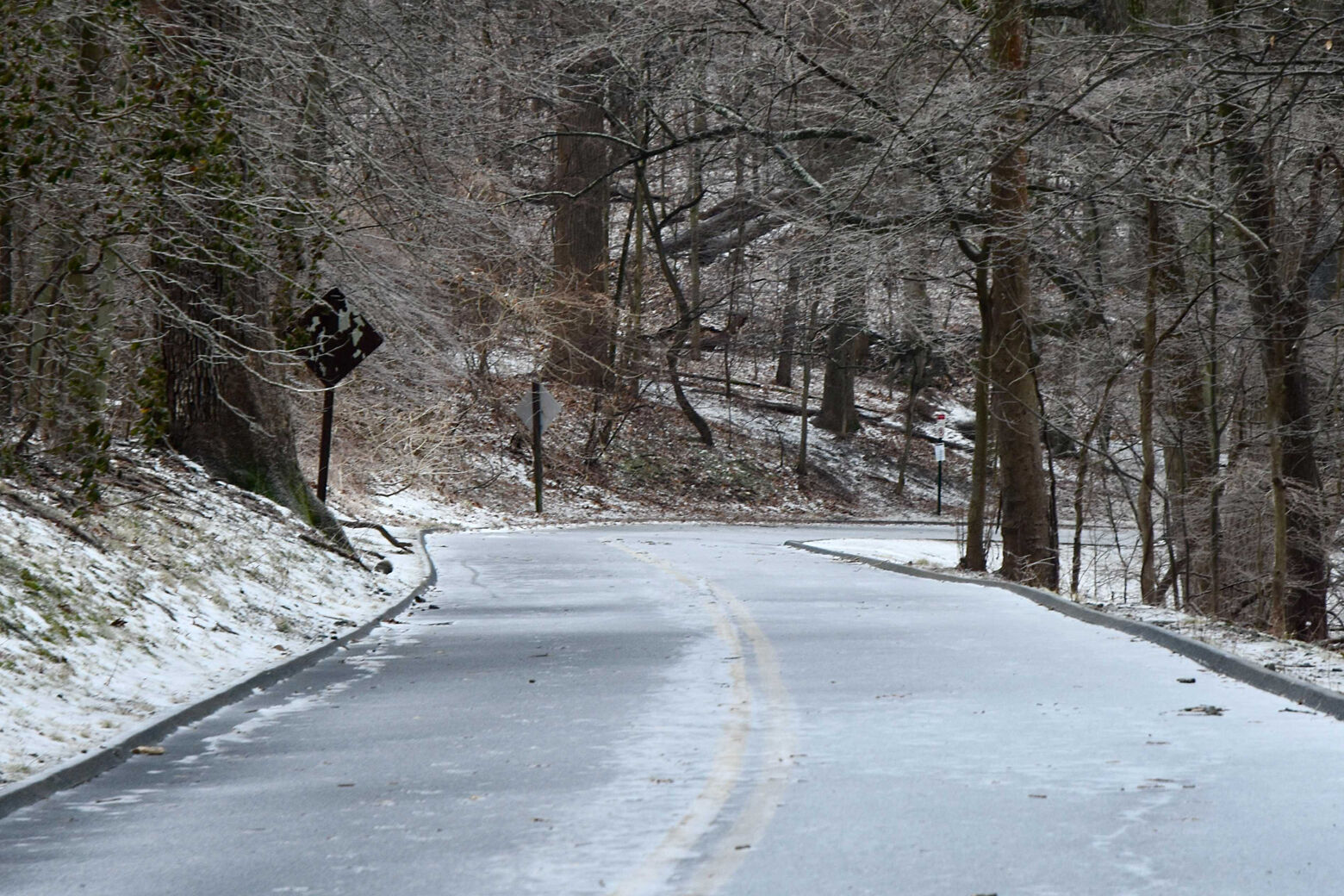
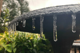
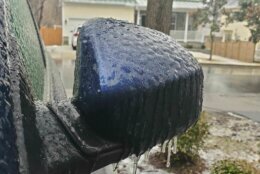


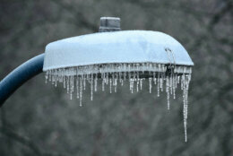
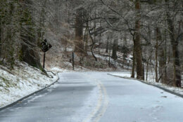
A winter weather advisory that was extended until 10 a.m. Sunday has now expired, but many roads across the D.C. area remain icy and slick following an ice storm that blanketed the region on Saturday.
Some patchy freezing drizzle and fog continues to challenge motorists and pedestrians but conditions will improve during the day, “except for some of the normally colder valleys in the far western and northern suburbs,” NBC Washington meteorologist Matt Ritter said.
He urged caution for those getting out on Sunday: “The thaw is modest and slow, so the melt will not be instantaneous.”
Fast-moving energetic systems will start moving into most of the region late Sunday into tonight with some light rain and drizzle, “except for another wintry mix in the northern and western suburbs, but even those areas will change over to plain light rain on Monday morning,” Ritter added.
Sunday afternoon temperatures are expected to top out around 40, according to NBC Washington meteorologist Lauryn Ricketts.
Another big swath of moisture with another weather system will move into the area late Monday, “with a soaking rain except for wintry mix potential in the northern and western suburbs,” Ritter said. He expects it to move out of the area midday Tuesday.
Tuesday’s temperatures are forecast to reach in the mid 40s by the afternoon with some sunshine, Ricketts said.
She said to expect partly cloudy skies on Wednesday with temperatures in the mid 30s, as clouds will increase through the day and the area awaits the next system which is due to arrive before daybreak on Thursday.
“Expect a mix on Thursday throughout the day. Eventually this will change to plain rain Thursday night into Friday as temperatures rise,” Ricketts said.
She expects a breezy westerly wind and temperatures climbing into the mid 40s on Friday.
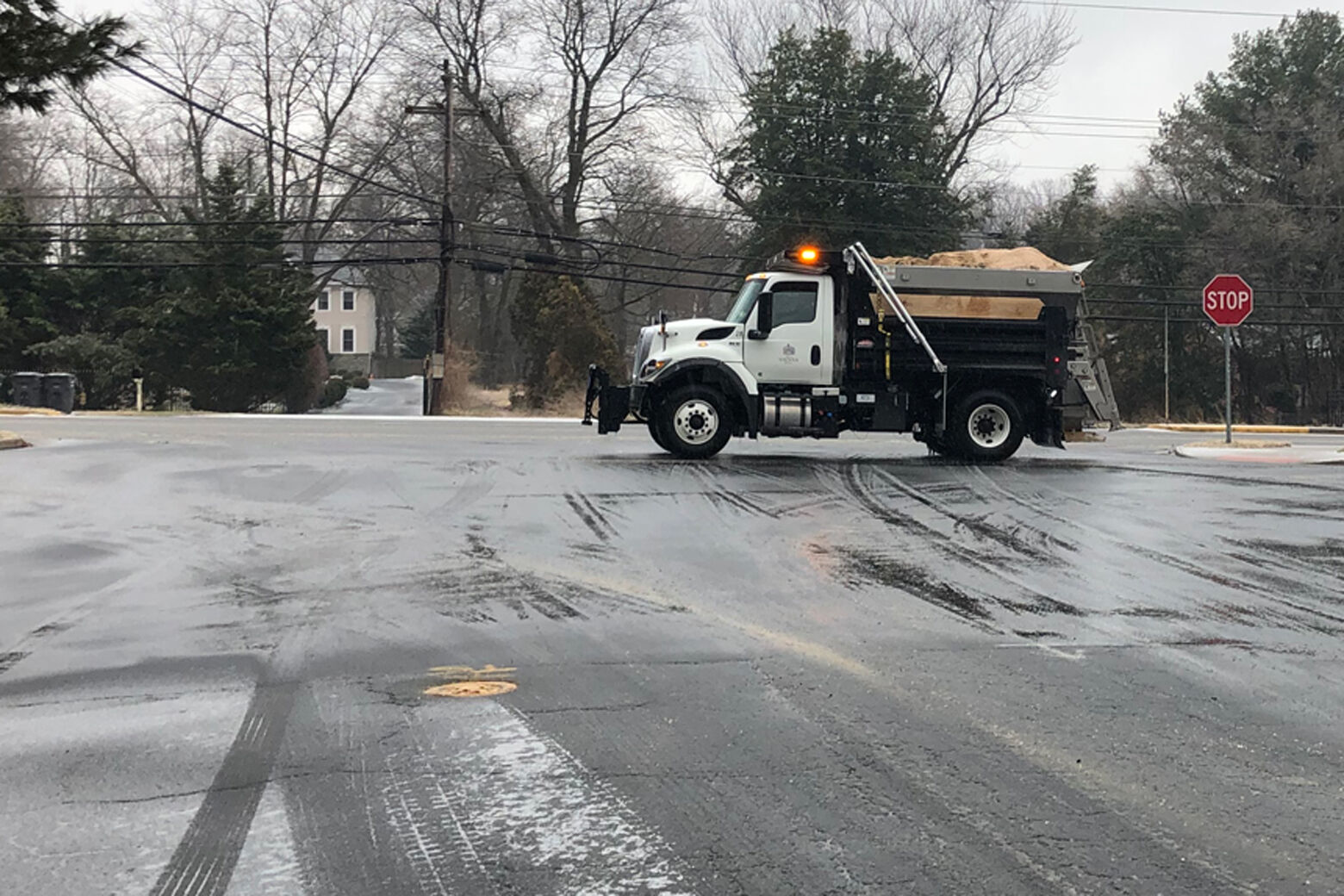
The damage done by icy conditions Saturday caused 115 crashes in Maryland and 36 disabled or unattended vehicles, according to Maryland State Police.
Snow emergency plans were in place for Anne Arundel, Baltimore, Dorchester, Frederick, Howard and Montgomery counties.
In Virginia, state police had responded to nearly 366 crashes and six disabled vehicles statewide as of 9 p.m. Saturday. Of those crashes, 83 were in Fairfax County, while the bulk of the remainder were in the Richmond area.
This is — or was — #VSP Trooper J.E. Weidman’s car on I-85 in #Brunswick Co. He was outside his car for a downed tree when this one fell. Plz stay off the roads overnight. It’s not worth the risk to you, your vehicle, or your life. #icestorm2021 #stayhome @VaDOTRVA pic.twitter.com/TDuxtg6X9D
— VA State Police (@VSPPIO) February 14, 2021
An ice storm warning ended around 9 p.m. Saturday night, with most of the precipitation in the D.C. area having tapered off earlier in the afternoon.
- Listen to WTOP online and on the radio at 103.5 FM or 107.7 FM.
- Current traffic conditions
- Weather forecast
- Closings and Delays
- Sign up for WTOP alerts
Forecast:
- Sunday: Cloudy, damp and cold. Patchy fog and freezing drizzle this morning ending. Highs in the mid 30s to near 40.
- Sunday night: Light rain and drizzle, starting as a wintry mix in the far northern and western suburbs. Lows in the low to mid 30s.
- Monday: Light rain, drizzle ending in the morning. Cloudy and chilly. More light rain moving in later, starting as a wintry mix in the far northern and western suburbs. Highs in the upper 30s to low 40s.
- Tuesday: Rain, moderate to heavy at times, ending by midday. Cloudy, breezy and seasonably chilly. Highs in the low to mid 40s.
- Wednesday: Brisk and cold. Mix of clouds and sun. Highs in the mid to upper 30s.
- Thursday: Wintry mix likely. Temperatures in the 30s.