


While I monitor county COVID presser—my assistant monitors the snowfall in DC. pic.twitter.com/i1wH2xU43l
— Kate Ryan (@KateRyanWTOP) December 16, 2020
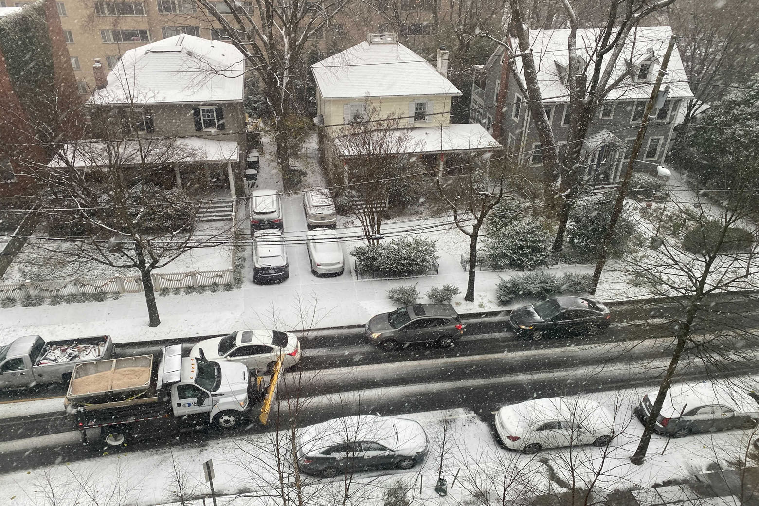
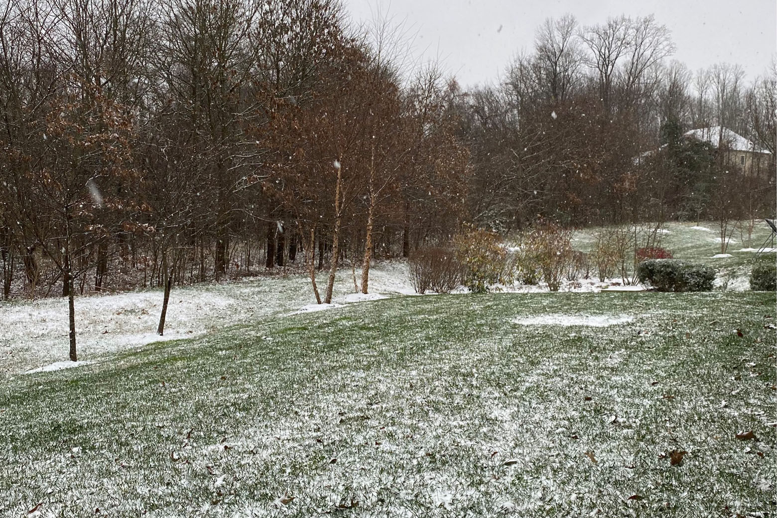

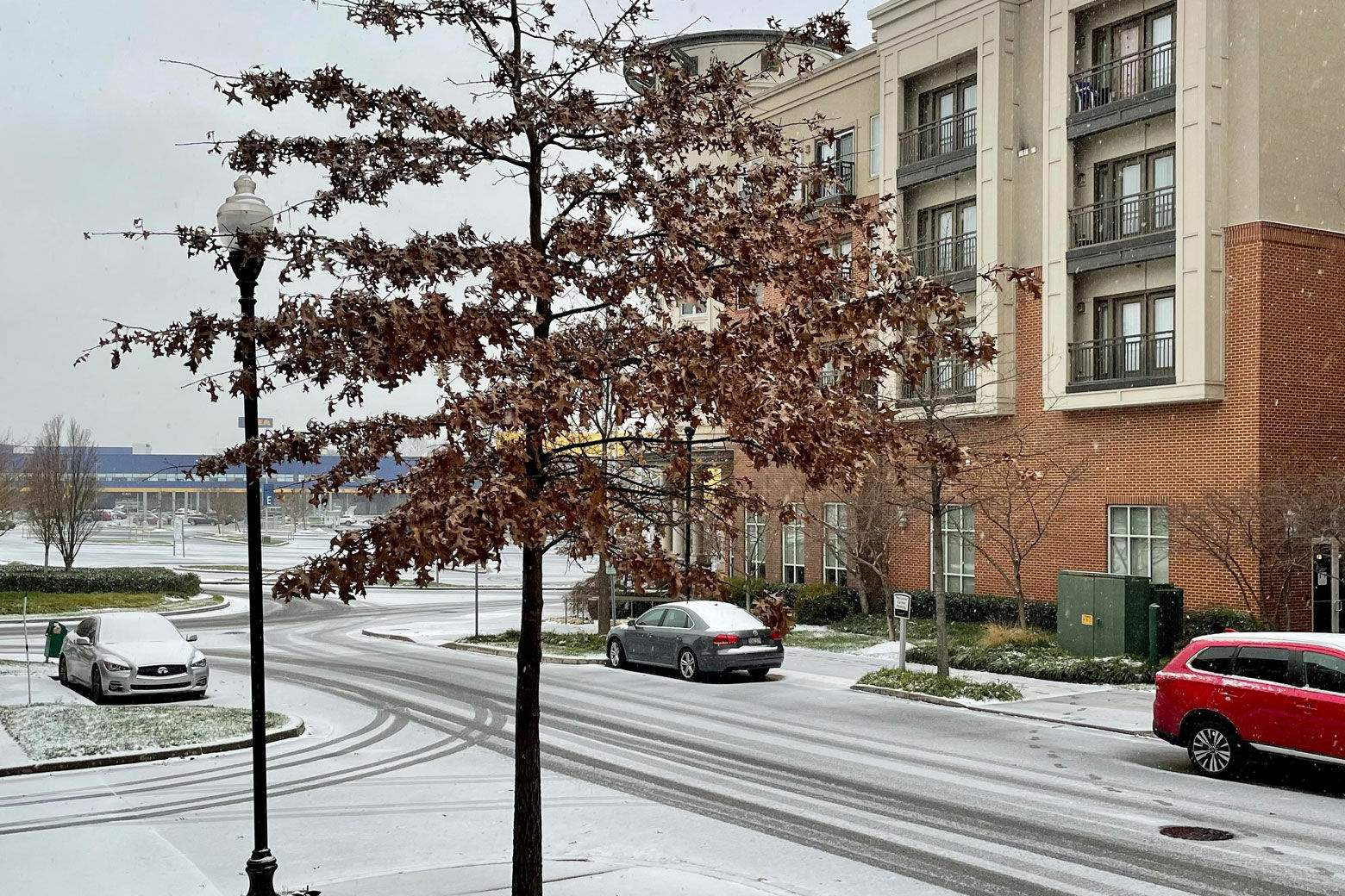


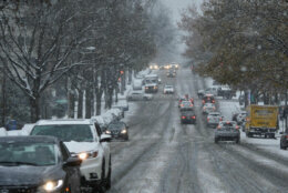
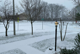
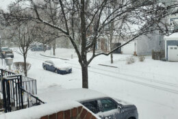
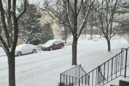

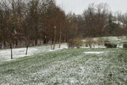


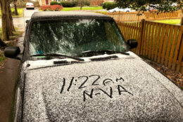
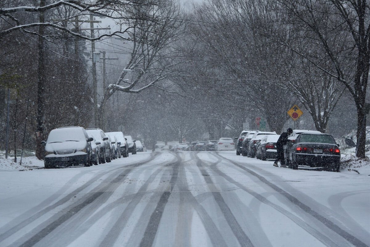
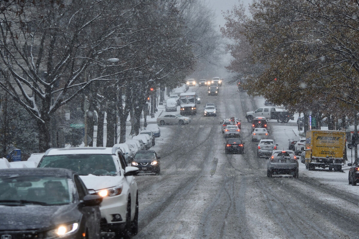
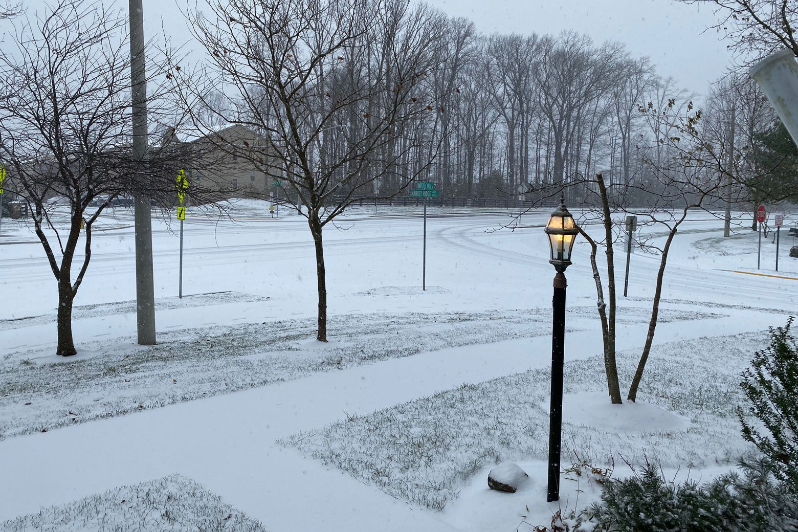
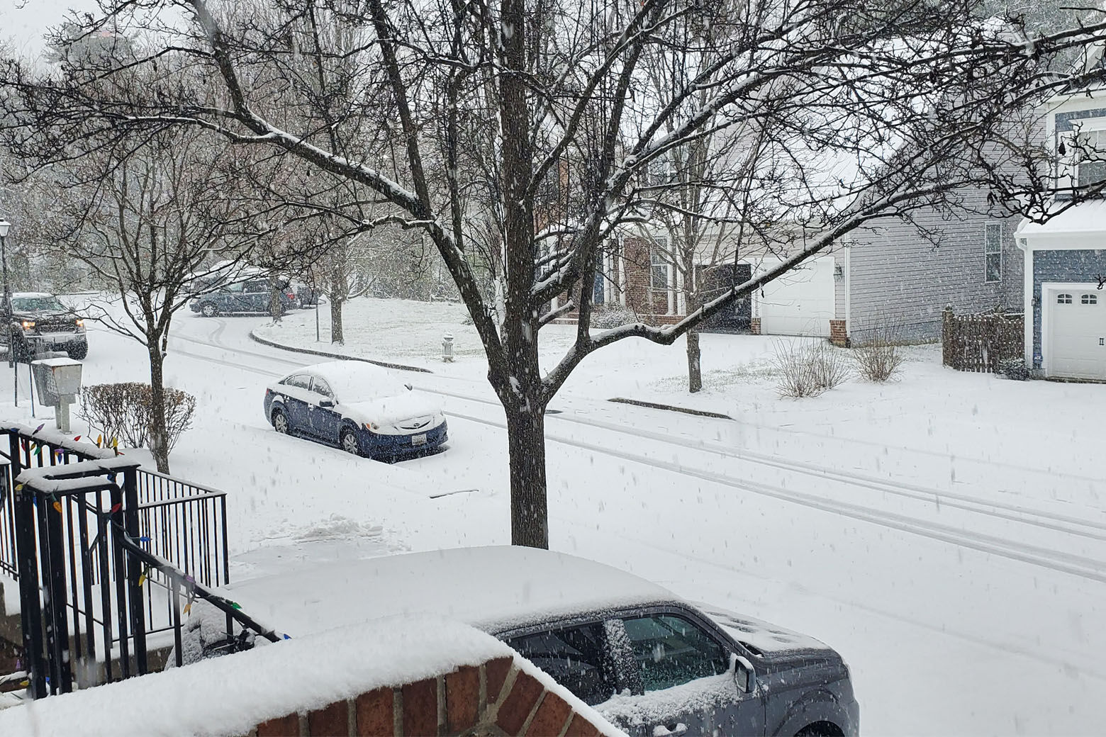
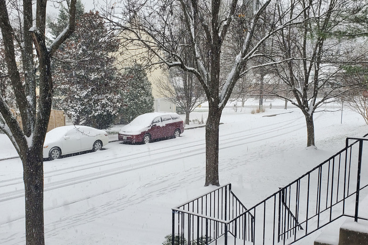
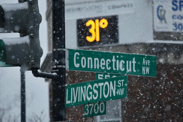
The D.C. region received its first major snowfall of the season Wednesday.

Here’s what to know:
- The National Weather Service’s winter storm warning is in effect for the D.C. region’s western and northwestern suburbs until the early morning.
- The storm will begin to wind down shortly after midnight, with northern Maryland possibly receiving additional bursts of heavy snow.
- Roads may be slick in areas with temperatures below freezing.
- Power outages remain possible in neighborhoods that received significant ice building on trees and powerlines, because it is expected to remain windy overnight.
Power Outages
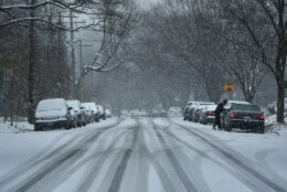
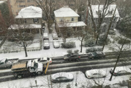
Thousands are without power in the D.C. area, and roads are turning icy as the snow/rain mix begins to freeze Wednesday night.
More than 5,500 D.C.-area residents lost power Wednesday afternoon, as snow, rain and sleet continued to fall. The majority of outages were in Virginia’s Fauquier, Prince William, Culpeper and Stafford counties.
As of 8:15 p.m., about 100 D.C. residents are still without power, with Virginia’s Fauquier County reporting more than 4,200 outages. In Maryland, Harford County and Baltimore are still reporting thousands of outages.
“Our crews are mobilized and will work through the night until power is restored for all member-owners,” said Casey Hollins, spokeswoman for Rappahannock Electric Cooperative.
The wintry mix of freezing rain and rain will end after midnight, Storm Team4 Meteorologist Matt Ritter said. Wednesday night will be windy, raw and cold.
Ritter said the snow could continue overnight in northern Maryland, but for much of the D.C. region, Thursday will be blustery and cold early before a mix of sun and clouds settle in.
Earlier Wednesday, WTOP’s John Aaron said the snow in Rockville, Maryland, was “coming down at a pretty decent clip,” just after noon.
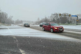
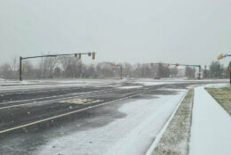
Roads
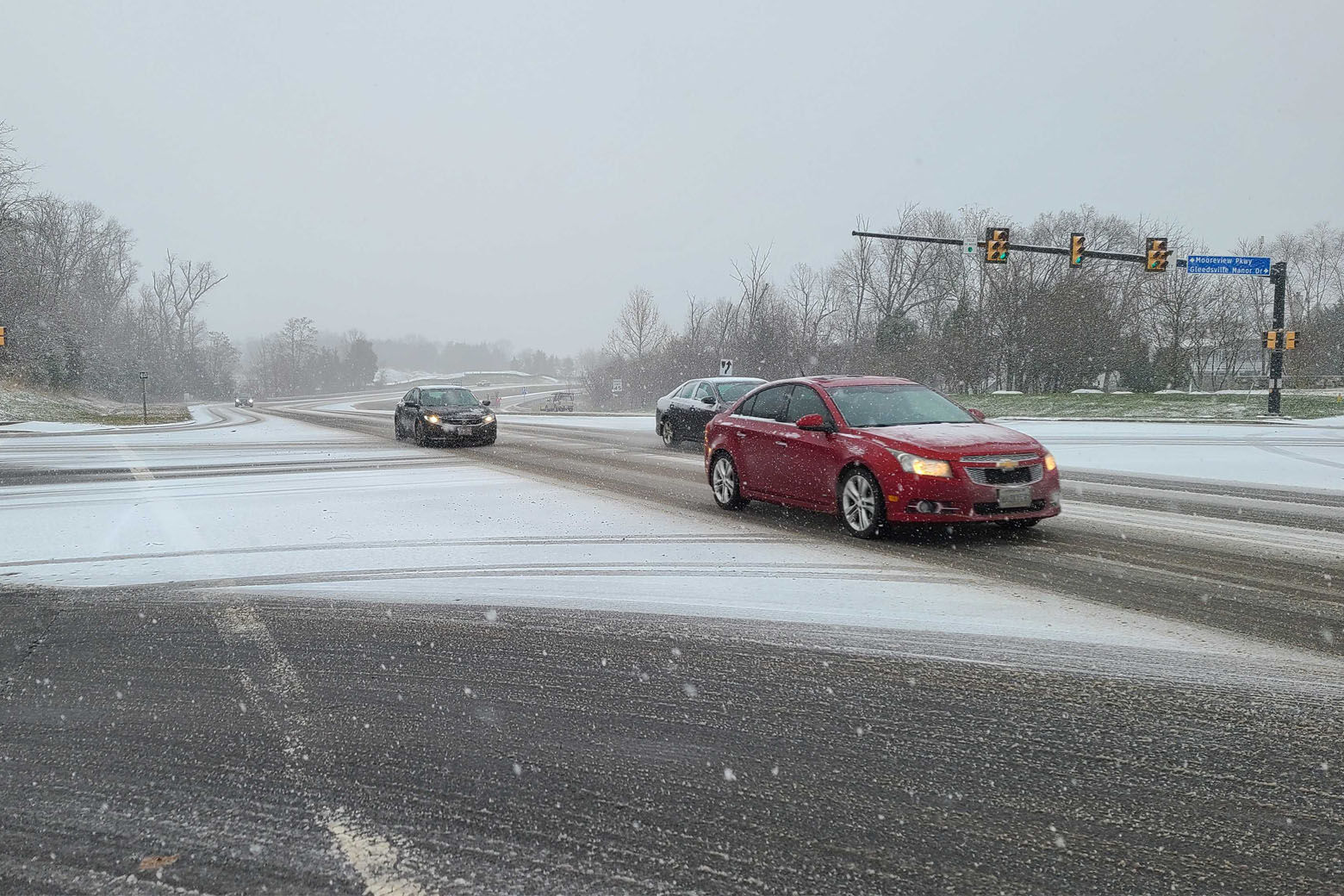
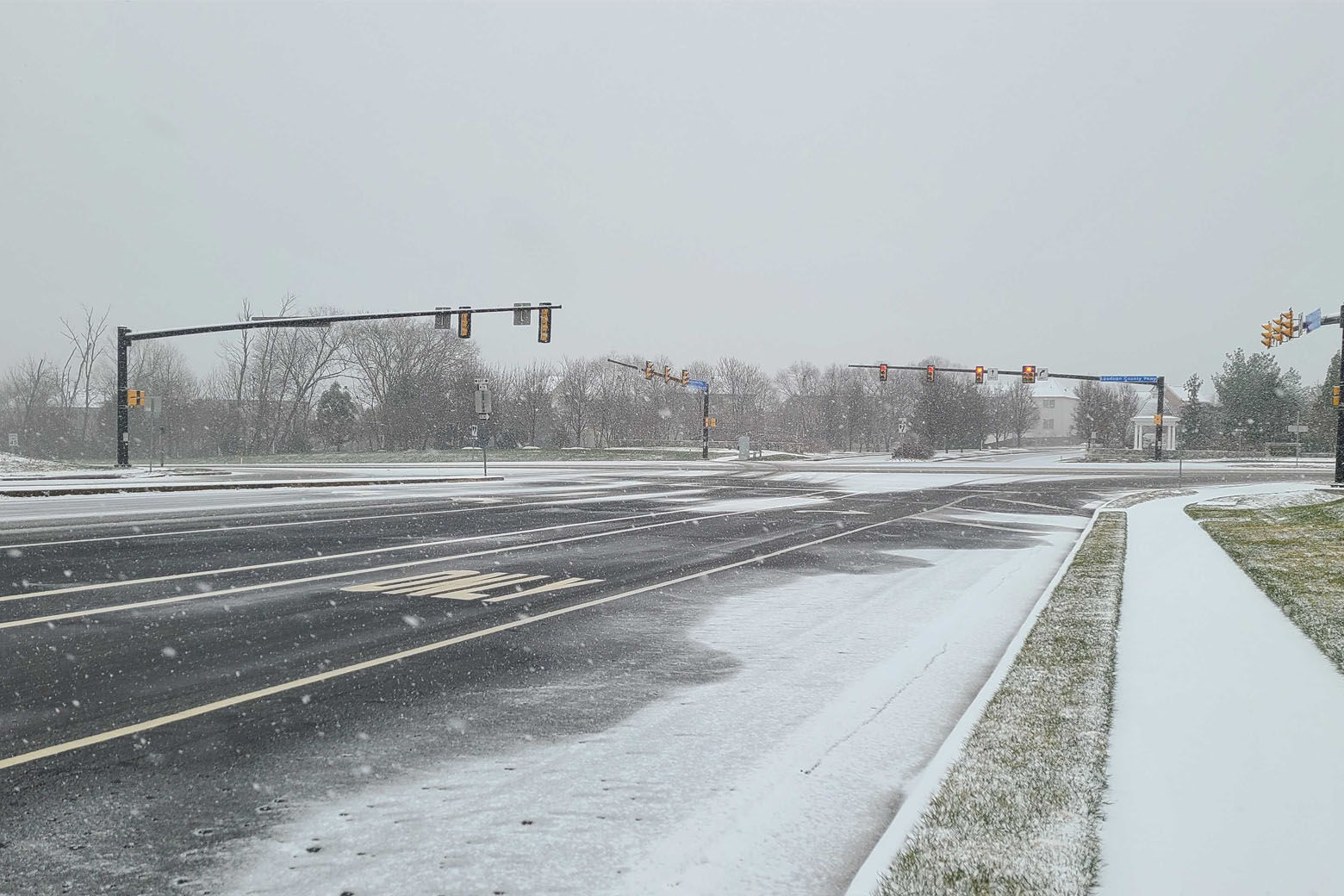
Road crews pretreated major and secondary roads in D.C., Maryland and Virginia. Drivers are urged to watch for changing conditions.
Ellen Kamilakis with the Virginia Department of Transportation said VDOT crews started pre-treating the roads overnight Monday.
“We have checked in and staged in and deployed, we’re in the process of getting out about 2,000 trucks between Loudoun, Prince William, Fairfax and bits of Arlington,” Kamilakis said.
VDOT encourages people not to drive if they don’t have to, but for those who do, Kamilakis said to greatly reduce speeds, increase following distances and to make sure the vehicle has a full tank of gas and plenty of wiper fluid.
Maryland Department of Transportation spokeswoman Sherry Christian echoed Kamilakis’ words of caution. She also added that the biggest hazard drivers should look out for is icy roads.
“Regardless of where you the state of Maryland you are being affected in some way whether it is a lot of snow accumulation or the heavy rain,” Christian said. “And that is where we are focusing because we are preparing for the refreeze. Refreeze, refreeze, refreeze.”
Nearly 550 car related incidents were recorded by Virginia and Maryland State Police Departments as of 4 p.m. Wednesday. In the commonwealth, state police responded to 200 crashes and 125 disabled cars. And in Maryland, state officers saw more than 150 crashes and 60 disabled vehicles.
WTOP’s traffic reporters and local authorities are reporting numerous crashes and traffic slowdowns on local roadways due to the slick conditions.
“Do not overdrive the conditions, no matter what kind of vehicle you have,” said WTOP traffic reporter Reada Kessler. “Don’t go out if you don’t have to. Just don’t do it. The roads are not good.”
There could be significant icing near the Blue Ridge on Wednesday night, Storm Team 4 Meteorologist Mike Stinneford said.
WTOP’s Neal Augenstein was on the road in the western suburbs Wednesday and said most major roads had been pre-treated to prevent icing, but road spray would be an issue for drivers whose windshield washer fluid had not recently been topped off.
Snow Totals
The National Weather Service in the D.C. region released unofficial snow totals Wednesday, taken in the last four hours:
- Anne Arundel County, Maryland, has received about 1.6 inches
- Baltimore City, Maryland, received about 3 inches
- Some Frederick County, Maryland, neighborhoods received more than 7.5 inches
- Howard County, Maryland, received between 1.5 and 4.5 inches
- Montgomery County, Maryland, received between 2 and 3.7 inches
- Prince George’s County, Maryland, received about 1.7 inches
- The City of Alexandria, Virginia, received 1.5 inches
- Fairfax County, Virginia, received between 0.4 and 2 inches
- Loudoun County, Virginia, received between 1.8 and 7 inches
Closings and Delays
Several D.C.-school systems have announced plans for Thursday. Check WTOP’s Closings and Delays page for updates.
The Office of Personnel Management said Wednesday night that federal agency offices in D.C. will be open on a delay Thursday. Employees are expected to arrive by 10 a.m.
Mass transit
Metrorail: Operating on a regular weekday schedule, although scattered delays are possible as de-icer trains operate between passenger trains.
Metrobus: The D.C. bus service began their “moderate snow service plan” at 3 p.m. Wednesday due to dangerous road conditions. The plan suspended a number of bus routes and re-routed others away from hazardous and hilly streets. Riders are likely to see delays, Metrobus said. All buses currently running will complete their set routes before going out of service.
Metrobus service to operate moderate snow plan with detours in effect due to road conditions https://t.co/eZa6Bwy8y9 #wmata pic.twitter.com/5Ag2d8OIx0
— Metro (@wmata) December 16, 2020
Virginia Railway Express: Operating on an S schedule. Stations and parking lots have been pretreated.
MetroAccess: Expects to provide normal service for customers with disabilities. Some trips may experience delays due to road conditions throughout the region.
MARC: No train service on Brunswick Line on Wednesday. The Penn and Camden lines will operate as normal.
Fairfax Connector: There could be delays due to inclement weather. Check the estimated arrival time of buses for weather delays through the Fairfax Connector BusTracker.
Loudoun Commuter Bus: Service is canceled on Wednesday. There is no Metro connection bus service, with the exception of Route 72, Route 84 and Route 985. Local Fixed Route Bus services are scheduled to operate, but may be suspended later in the day depending on road conditions. There will be no Paratransit Bus services.
OmniRide: Due to winter weather all OmniRide local off-route and OmniRide Access paratransit services have been canceled for Wednesday.
ART: Operating normally for as long as possible, but service may be cut back during the day or evening if conditions worsen.
Ride On: Operating as normal.
Forecast
Wednesday night: Wintry mix of mainly freezing rain and rain ending shortly after midnight. The mix will still be mostly snow in northern Maryland where minor additional accumulations could occur early, then also ending before morning. Windy, raw, and cold. Lows: upper 20s to mid 30s.
Thursday: Blustery and cold early. Mix of clouds and sun. Diminishing winds later in the day. Highs: mid 30s to near 40.
Friday: Partly sunny. Still brisk and cold. Highs: mid 30s to near 40.
Saturday: Mostly cloudy. More seasonably chilly. Highs: upper 30s to upper 40s..
Sunday: Chance for sprinkles and light showers. Plenty of clouds. Highs: mid to upper 40s.
Current conditions
WTOP’s Jack Moore, Jose Umana, Valerie Bonk, Colleen Kelleher, Ken Duffy and Luke Garrett contributed to this story.