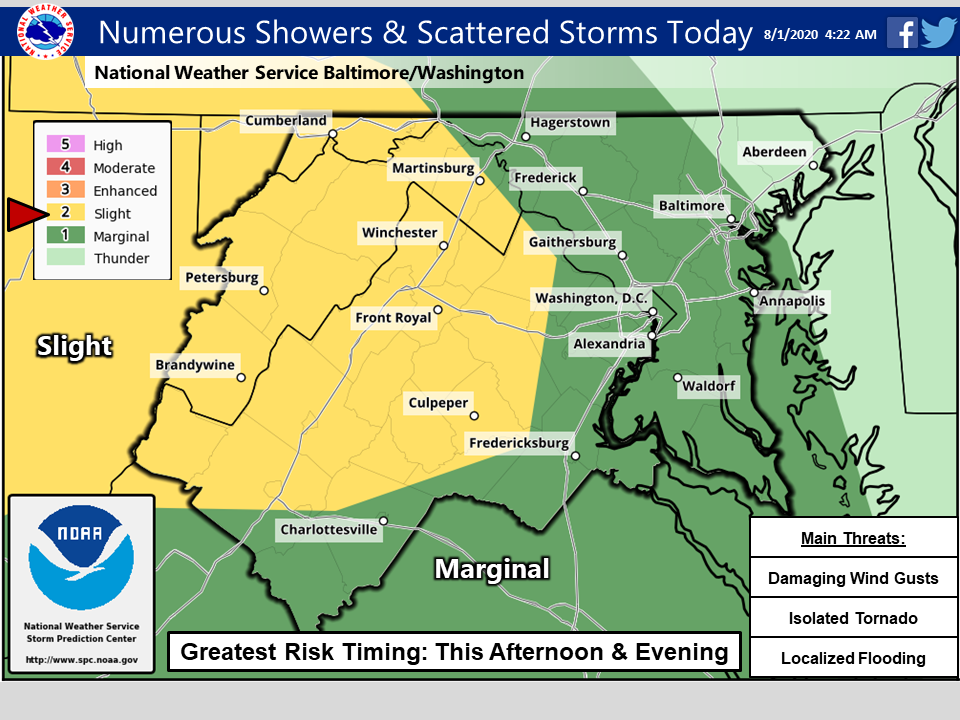
A partly cloudy and calm Saturday will give way to potentially severe evening storms throughout the D.C. region — some of which could produce damaging wind gusts, localized flooding and even a risk of an isolated tornado.
Thunderstorms are expected to develop Saturday evening into the overnight hours, said NBC Washington meteorologist Lauryn Ricketts. The National Weather Service issued a flash flood watch for much of the metropolitan region until Sunday at 3 a.m.
If you’re out after dinner, expect to see plenty of lightning and torrential downpours, especially to the south and west of the nation’s capital.
- Listen to WTOP online and on the radio at 103.5 FM or 107.7 FM.
- Current traffic conditions
- Weather forecast
- Closings and Delays
- Sign up for WTOP alerts
The daylight hours will be humid and hot, Ricketts said, helping contribute energy to this evening’s storms as a warm front pushes north through the region. After a rainy overnight, Sunday will prove even muggier.
“We return to not only the humidity, but also the heat,” Ricketts said of Sunday’s forecast. “There will be about a 30% chance of seeing some showers and thunderstorms pop up, but a lot of the region will stay dry.”
Rain chances begin to increase again late Monday into Tuesday, albeit from a different threat: Hurricane Isaias will be riding up the U.S. East Coast on its trek northward from Florida and the Bahamas.
The storm’s track and intensity are still riddled with uncertainty, but as of Saturday morning, the National Hurricane Center forecast Isaias’ core to skirt the Carolinas and pass just offshore Virginia and Maryland’s Eastern Shore.
Authorities in Virginia and D.C. were advising residents to prepare for Category 1 hurricane or tropical storm conditions starting around dawn Tuesday. Virginia Gov. Ralph Northam declared a state of emergency late Friday.
On Saturday afternoon, the storm was downgraded to a Tropical Storm as it approached Florida. Experts said there is still a chance that the storm picks up power again.
Coastal Virginia and Maryland from the Chesapeake eastward run a risk of seeing sustained winds of over 45 mph and significant storm surge.
Closer to Washington, the main threat from Isaias looks to be a steady tropical downpour — though a last-minute jog to the west or east of the current forecast track could make a world of difference for how far inland Isaias’ effects are felt.
Forecast:
- Saturday: More clouds than sunshine, 30% chance of rain before 4 p.m. 60% chance of rain after 4 p.m. through the early overnight. Temperatures in the mid to upper 80s.
- Saturday night: Lingering storms possible, drying out with patchy fog by daybreak. Temperatures in the 70s.
- Sunday: Partly sunny with a 30% chance of storms later in the day. Hot and breezy with temperatures in the low to mid 90s and a heat index around 100.
- Monday: Partly sunny with a 60% chance of storms. Temperatures in the mid 80s.
- Tuesday: Rain, steady at times. Temperatures in the upper 70s.


