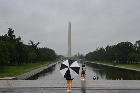
Showers tapered off Thursday night in the D.C. area, and the flood watch issued until 10 p.m. was called off early. But the risk of flooding remains a possibility for areas near streams. Here’s what you need to know.
A flood warning for areas near streams is in effect until 11:45 p.m. in north central Maryland.
Flood Watch for the area has been canceled. Watch out for water levels near larger streams and rivers. Remaining showers will be associated with the cold front that will be passing through over the next several hours. pic.twitter.com/tUbmhSDjdN
— National Weather Service Baltimore-Washington (@NWS_BaltWash) April 30, 2020
D.C. saw just over 1 inch of rain. Areas of Frederick County in Maryland saw more than 2.5 inches of rain, and Fairfax County, Virginia, saw around 1.25 inches.
See more rain totals from the National Weather Service.
Friday will be mostly cloudy, cool and breezy with a few showers as the storm crawls eastward. Highs will be in the lower to mid 60s, which is several degrees below the average.
Sunshine and highs in the lower 70s return Saturday.
Sunday will bring more clouds as the next low-pressure center swings a warm front into the area in the morning, possibly with an early shower or two.
Current Conditions
Forecast
FRIDAY: Mostly cloudy. Breezy. A few spotty showers. High temperatures in the low to mid 60s.
SATURDAY: Partly sunny. Breezy but milder and seasonable. High temperatures in the mid 60s to low 70s.
SUNDAY: Increasing clouds. Warm and pleasant. High temperatures in the low 70s.


