Punxsutawney Phil predicated an early spring — but Potomac Phil, D.C.’s own (taxidermied) prognosticator, begged to differ, setting up a duel for the ages. Which groundhog will triumph? If this week’s weather is any indication, the furry oracle of Pennsylvania has the upper hand.
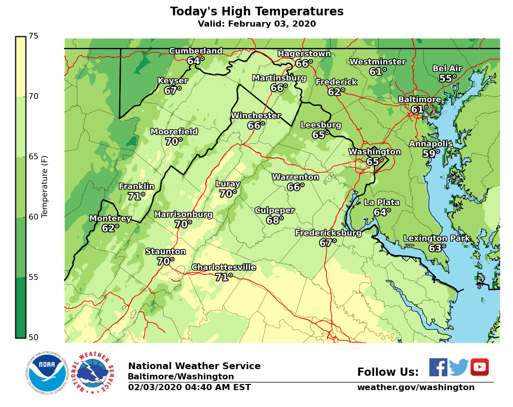
Daytime temperatures will be above average all week. Hang up that parka: The D.C. region will see highs around or above 60 through Tuesday. Sunshine on Monday morning could even boost D.C. and Baltimore near their record high temperature for Feb. 3 by afternoon.
“The calendar says February but this week’s weather will feel much more like spring than winter — today will be the nicest day of the week, by far,” said Storm Team4 meteorologist Chuck Bell.
Monday’s forecast high of 65 degrees in D.C. would match the highest temperature on record for Feb. 3 at Reagan Airport, observed in 1927. Baltimore’s record high for Feb. 3 stands at 66 degrees, recorded at BWI Airport in 1932. Both records could be broken today.
- Listen to WTOP online and on the radio at 103.5 FM or 107.7 FM.
- Current traffic conditions
- Weather forecast
- Sign up for WTOP alerts
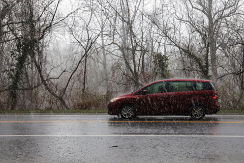
Clouds return late Monday, keeping the overnight mild and holding Tuesday’s temperatures back at a slightly cooler, but still unseasonable upper 50s to low 60s. Colder air moves in with a front from the interior late Tuesday, making for a rainy and breezy Wednesday and Thursday.
But temperatures will continue to run above average well into February.
“The long range look into next week is for milder air to return, keeping temperatures close to 10 degrees above average,” said Bell. “The chances of getting any snow over the next two weeks are essentially zero.”
Better luck next year, Potomac Phil.
Forecast
Monday: Mostly sunny and warm
Temps: mid-60s
Tuesday: Mostly cloudy with a chance of passing showers but still warm.
Temps: around 60
Wednesday: Cloudy and turning colder. Rain likely. Looking rather nasty.
Temps: near 60 but falling especially north of D.C.


