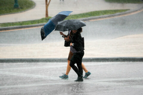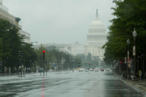
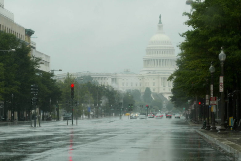
The D.C. area saw mostly rain and cold temperatures Sunday — a pattern that will continue into the beginning of the week.
D.C.’s cold weather plan remains activated Sunday due to wind chill values around 35 degrees. For advice on keeping yourself and neighbors safe from hypothermia, visit Ready DC’s website.
- Listen to WTOP online and on the radio at 103.5 FM or 107.7 FM.
- Current traffic conditions
- Weather forecast
- Sign up for WTOP alerts
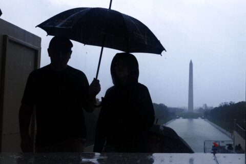
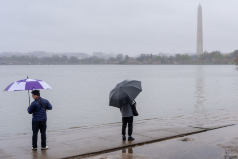
A coastal flood advisory affecting the shoreline in D.C. is also in effect from 10 p.m. to 3 a.m. on Monday. The tidal departure is 1 1/2 to 2 feet above normal, which means that inundation above ground level is possible.
“Shoreline inundation is expected along portions of the sea wall adjacent to Ohio Drive and the Hains Point Loop Road, and near the Tidal Basin and Jefferson Memorial,” said the National Weather Service. “Minorshoreline inundation up to 1 foot above ground is possible elsewhere.”
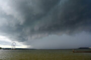
Storm Team4 meteorologist Somara Theodore said the region is in for a wet start to the week with Monday seeing some passing rain showers. A few snow showers may mix in with the rain later in the evening, particularly north of the Capital Beltway.
The rest of the week will stay mostly dry with a chance of rain Wednesday.
Current conditions
Forecast
Monday: Mostly cloudy with some light rain and wet snow showers, breezy. Winds: Northwest 10-20 mph. Temps: Mid 40s
Tuesday: Partly sunny, breezy. Temps: Mid to upper 40s
Wednesday: Partly sunny to mostly cloudy. Temps: Mid to Upper 40s