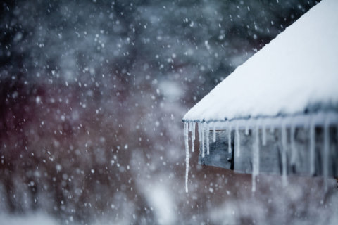
The D.C. area could see some snow, as a cold front brings freezing temperatures early this week.
Monday is expected to have highs in the 60s, but a cold front brings a significant drop in temperatures, with highs in the mid 40s on Tuesday and lows into the 20s on Tuesday night, according to National Weather Service meteorologist Ray Martin.
This could include flurries on Tuesday and into early Wednesday morning.
Don’t count on a snow day, though. Martin said while flakes are possible, little to no accumulation is expected.
“We’re not expecting a whole lot of precipitation. Light to moderate rain, possibly a chance of snow briefly on the end,” Martin said.
The coldest day is expected to be Wednesday, with highs in the mid 30s and lows in the mid 20s Wednesday night.
“We have a very strong cold front for this time of year moving across from the upper Midwest and across the area during the late night, early morning on Tuesday and then continuing to the Atlantic,” Martin said.
The cold front is coming out of the North Pole, heading across western Canada, then across the Great Lakes into the D.C. region.
Martin said it’s premature for an Arctic air blast this early in the season.
“We haven’t had a really good blast like this so early in a number of years,” Martin said. “Now, it’s not unprecedented. As recently in 2017 we had a pretty good Arctic surge but this should be a bit stronger than that one was around this time in 2017. I wouldn’t be surprised if we have maybe some record lows. It’s definitely going to be an unusual system.”
When it comes to predicting the winter weather ahead, Martin said an arctic surge this early isn’t particularly hinting at a colder winter.
“I wouldn’t glean anything particular about the winter,” Martin said. “Certainly we’ve had a lot of cases in the past where we have some cold weather in November and then things change when we head into the core winter months.”
WTOP’s Marcus Lustig contributed to this report.


