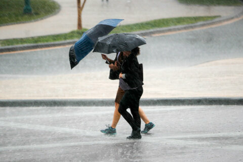
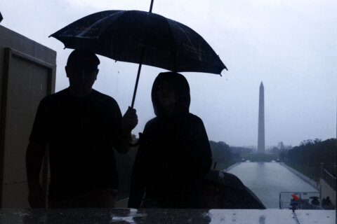
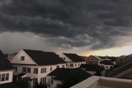
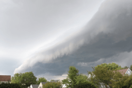
Storms struck the D.C. area Tuesday afternoon into the evening, leaving downed trees, wires and other reported damages. A slow-moving cold front will bring more storms in the next several days until it finally settles just in time for the weekend. Here’s what you need to know.
- Listen to WTOP online and on the radio at 103.5 FM or 107.7 FM.
- Current traffic conditions
- Weather forecast
- Closings and Delays
- Sign up for WTOP alerts
Severe thunderstorms warnings and watches and a flood warning, which have all expired, were issued for the area as storms hovered.
A cold front will slowly cross the area Wednesday into Thursday, bringing with it scattered showers and storms until Friday.
It will be significantly cooler on Friday when the cold front settles in.
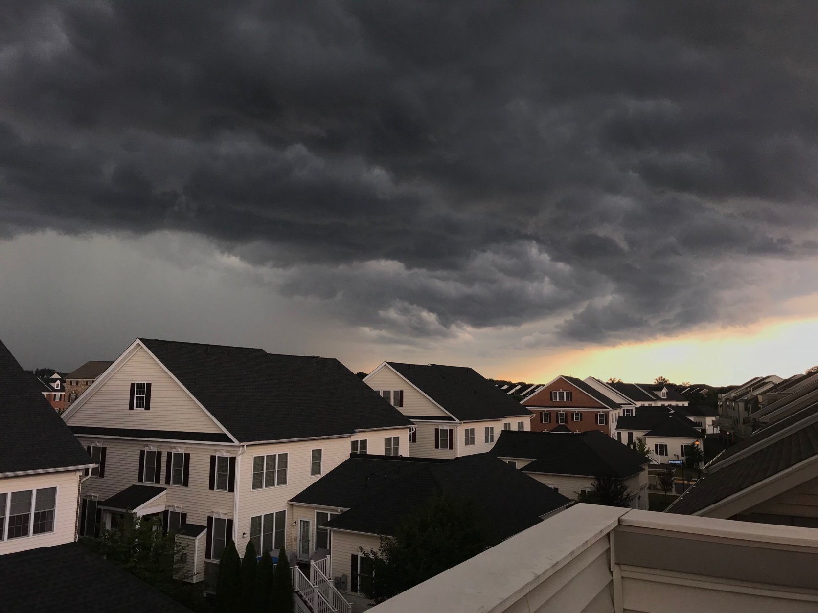
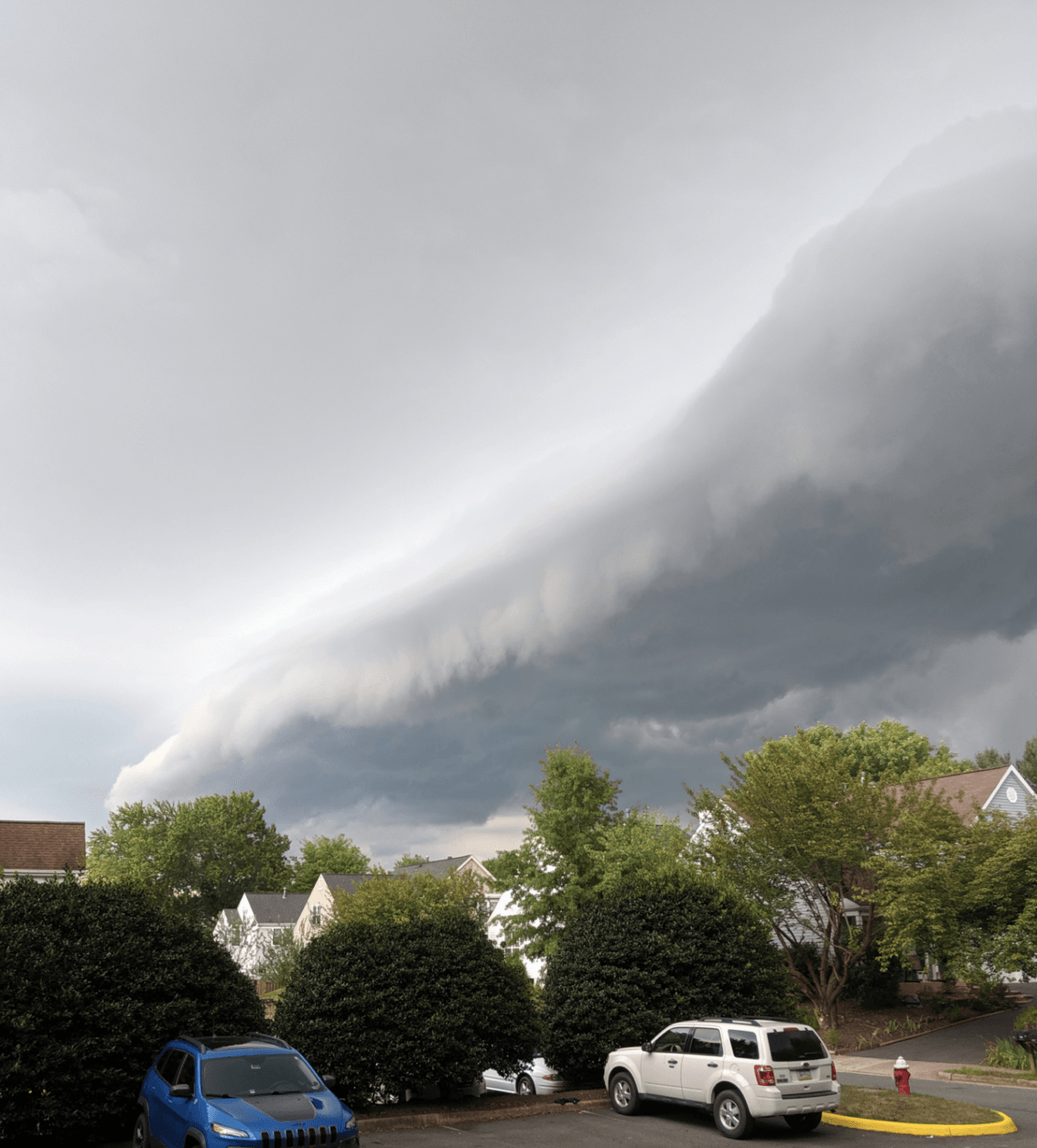
Storm damage
Thunder rumbled throughout the area, with lightning strikes reported at the National Mall.
Wind gusts of over 60 mph were clocked in storms that struck parts of Northern Virginia and Maryland.
Residents in Tenleytown in D.C., Gaithersburg, Maryland, and other parts of the area reported hail the size of about a dime to a quarter.
The National Weather service warned of damaging winds that could cause trees and large branches to fall.

Storm damage in NW @WTOP pic.twitter.com/IktJYCVlox
— Kristi King (@kingWTOP) August 20, 2019
— Noah Frank (@NoahFrankWTOP) August 20, 2019

D.C. Fire and EMS responded to several calls of downed power lines in upper Northwest. They urged residents to never approach downed power lines and always assume they are energized.
Montgomery County Fire and Rescue Service reported a section of Georgia Avenue between Brookville Road and New Hampshire Avenue blocked due to a downed tree, pole damage and downed wires.
Outages
Forecast
Wednesday: Mostly to partly sunny, hot and humid. Scattered late-day rain or storms. Highs in the upper 80s to mid 90s. Heat index between 97-104.
Thursday: Partly sunny, hot and humid. Chance of afternoon rain and storms. Highs in the upper 80s to low 90s. Heat index between 97-102.
Friday: Cooler and less humid with some scattered showers and storms possible. Mix of clouds and sun. Highs in the upper 70s to low 80s.