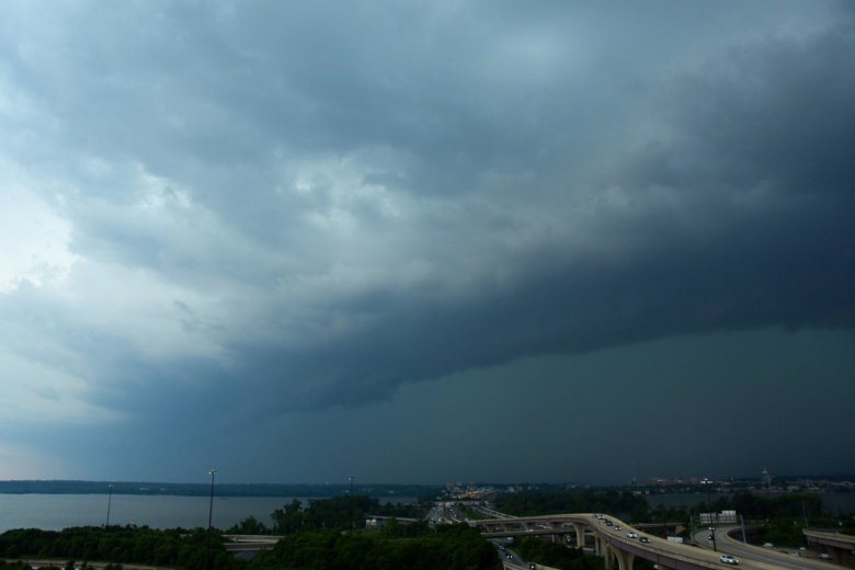
The D.C. area saw gray clouds in the afternoon but stormy weather did not come until the evening.
Earlier in the day, the threat of severe weather seemed possible, but by 12:40 p.m., Storm Team4 meteorologist Lauryn Ricketts said, “We thought we’d have a good chance of severe weather today, but that was if we had sunshine this morning, and none of us saw sunshine. We saw rain and we saw clouds, and that has helped stabilize the atmosphere.”
Parts of Northern Virginia were hit with thunderstorms, and dazzling lightning was reported in Fairfax County and the City of Manassas.
A group of storms over the Ohio Valley crosses the Appalachians and brings rain to the D.C. area, ushering in what Storm Team 4 meteorologist Chuck Bell called an “active pattern” for the next several days.
Showers remain in the forecast on Wednesday and Thursday, with a return to a drier pattern on Friday, just in time for the weekend.
Forecast
Wednesday: Mostly cloudy, scattered showers likely. A few thunderstorms possible. Highs in the mid- to upper 80s.
Thursday: Partly cloudy, hot and humid. Scattered afternoon thunderstorms possible. Highs in the low to mid-80s.
Friday: Partly to mostly sunny, a bit less humid. Dry for most. Highs in the mid- to upper 80s.