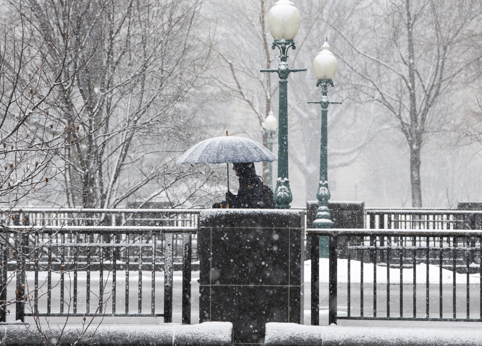
Monday’s weather event has been a complex trio of snow, rain and sleet. And while the area saw less snow than predicted, that mixture could linger on the roadways heading into Monday, making for a slick commute.
Frederick County and areas in Maryland closer to the Pennsylvania border are areas that may still see some accumulations, said NBC Washington meteorologist Somara Theodore. Locations closer to the District may still see some rain and possibly sleet.
- Listen to WTOP online and on the radio at 103.5 FM or 107.7 FM.
- Current traffic conditions
- Weather forecast
- Closings and Delays
- Sign up for WTOP alerts
Warnings, watches and advisories:
A winter storm warning is in effect for portions of western Maryland including Frederick and Carroll counties until 4 a.m. Monday.
A winter storm warning means the wintry weather will make for hazardous travel conditions.
A winter weather advisory has been issued for Northern Fauquier and Rappahannock counties until 2 a.m. Monday.
A winter weather advisory means periods of wintry precipitation will cause primarily travel difficulties. Expect slippery roads and limited visibilities, and use caution while driving.
Update on rain and snow across the area. Click on map for more details. pic.twitter.com/H1P8EbnWn3
— NWS DC/Baltimore (@NWS_BaltWash) March 3, 2019
“The rain/snow line has moved farther north,” said Theodore. Frederick can still expect anywhere from 2 to inches of snow, but it’s likely to hover in that lower spectrum, she said.
As of Sunday evening, the D.C. area had experienced more rain than snow. This wintry mix will likely not accumulate much in most areas, but cold overnight temperatures could leave plenty of the WTOP listening area under a coating of ice through early Monday morning.
Snow began falling in some areas around noon on Sunday. The system brought in widely varying conditions; the snowfall was mostly concentrated north and west of D.C., while it was mostly rain and sometimes sleet to the south and east.
Shortly before 1 p.m., locations closer to the Interstate 81 corridor started to see moderate to heavy snow.
While a coating of up to an inch was expected in D.C. and suburbs to the south and east, most of those areas remained too warm to see any accumulation.
The less than expected storm’s exit will usher in a colder-than-average air mass for this time of year, with daytime temperatures hovering in the mid to upper 30s for most of the week, and overnight lows dropping into the teens.
On the bright side, at least it’ll be dry: “Monday will be dry but it will be becoming sunny and blustery,” Ricketts said. “Winds will gust up to 25 to 30 mph at times through the day tomorrow. This will help dry out roads through your Monday, so your evening commute should be A-Okay.”
Forecast:
Sunday night: Snow, sleet, and rain coming to an end close to the morning rush.
Lows: low to mid 30s near DC and points south and east. Upper 20s in the far northern and western suburbs.
Monday: Gradual clearing. Blustery and cold.
Highs: mid to upper 30s.
TUESDAY: Mostly sunny. Not as windy, but still unseasonably cold.
Highs: upper 30s to near 40.
WEDNESDAY: Mostly sunny. Still unseasonably chilly.
Highs: low to mid 30s.
Current conditions:
WTOP’s Abigail Constantino contributed to this report.