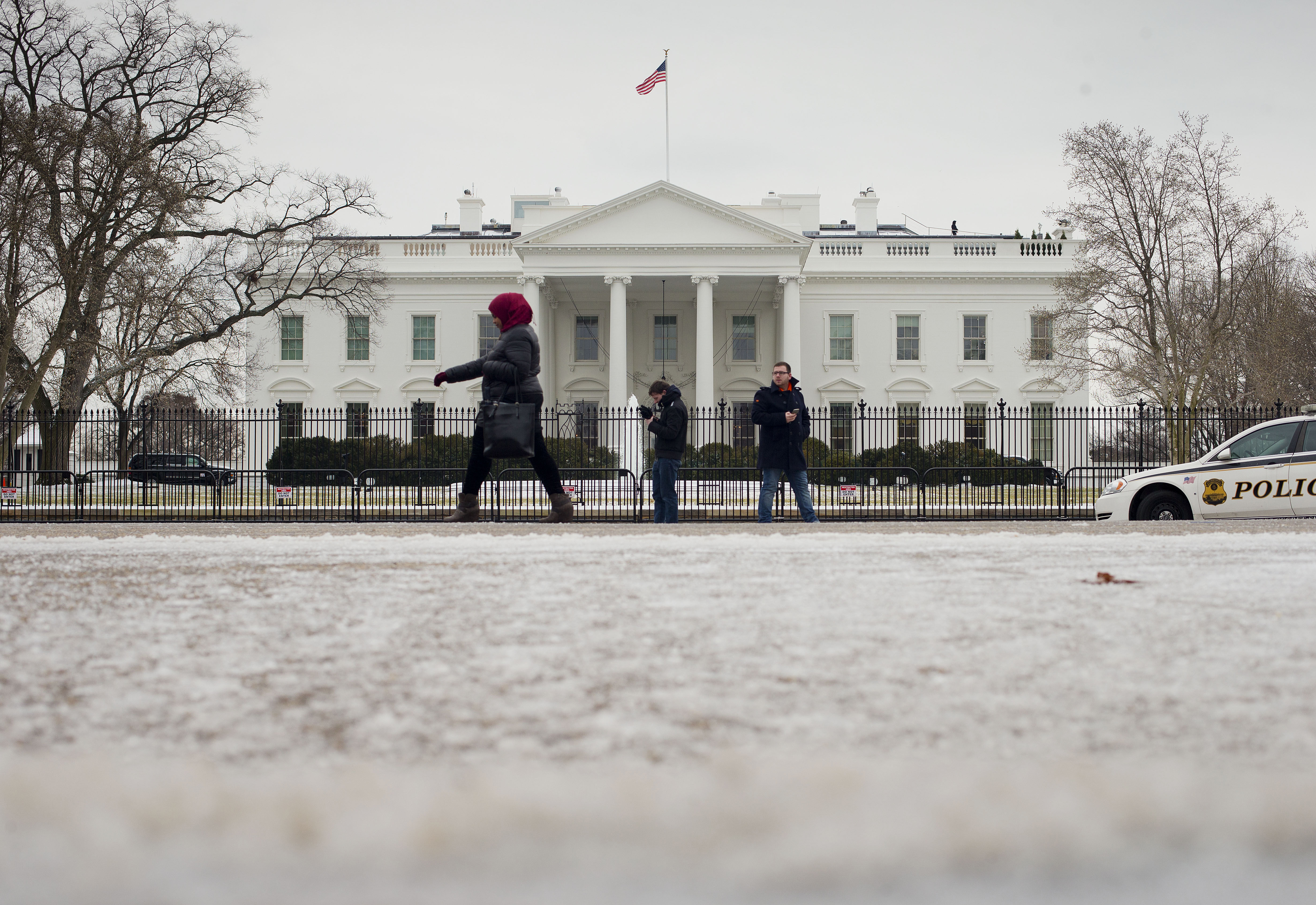
WASHINGTON — The National Weather Service has issued a winter weather advisory for D.C. and parts of Maryland and Virginia for Tuesday. Several area public school districts announced Monday night that they would close two hours early Tuesday due to the anticipated weather.
The advisory is in effect from 3 p.m. Tuesday to midnight, when snow is expected to follow rain during the late afternoon and early evening hours. D.C., central and Northern Virginia, and southern and central Maryland are covered in this advisory.
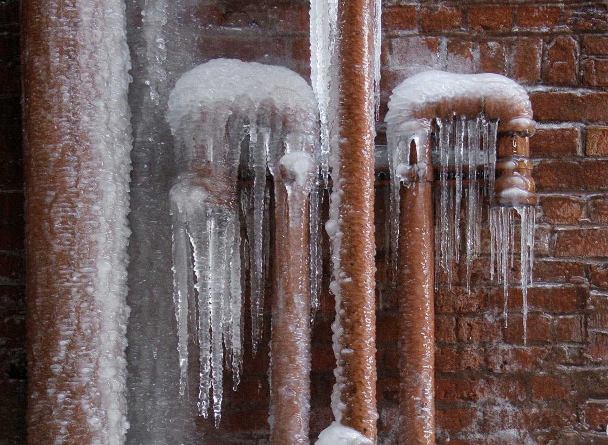
The weather service forecasts total snow accumulations of 1 to 2 inches.
“Plan on slippery road conditions. The hazardous conditions will impact the evening commute. Temperatures will fall below freezing during the evening, causing any moisture or slush to freeze on untreated surfaces,” the weather service said.
- Listen to WTOP online and on the radio at 103.5 FM or 107.7 FM.
- Current traffic conditions
- Weather forecast
- Closings and delays
- Sign up for WTOP alerts
Winter Weather Advisories have been issued for portions of the area Tuesday and Tuesday evening. See the graphic and https://t.co/t54l4ELo2o for more information. pic.twitter.com/EORvDlHnkW
— NWS DC/Baltimore (@NWS_BaltWash) January 28, 2019
“It’s not a coastal storm; it’s not a nor’easter. It’s just a very strong Arctic cold front which will be lifting the air ahead of it, resulting in bands of precipitation along it,” Storm Team 4 meteorologist Matt Ritter said.
From mid-morning to early afternoon on Tuesday, those snowflakes will melt into raindrops, reaching the ground as such, Ritter said. When the snowfall rate is faster than the melting rate on the ground, the region will then get a net accumulation.
“That won’t happen right away, but it will by mid-afternoon, before the evening rush. The air and ground will start cooling rapidly further and, eventually, most of what’s falling will stick,” Ritter said.
That last step is expected to happen during the evening rush. The snow will then end as the front moves east of here, and then the bitter cold Arctic air will pour in over the mountains. Any slush and standing water will start to freeze, he said.
“The morning rush on Wednesday will have wind chill impacts as well as ice on the ground,” Ritter added.
Wind chills are expected to be in the single digits and teens on Wednesday. The weather service has indicated that a wind advisory may be needed for the D.C. area then.
FORECAST
TUESDAY: Cloudy and mild in the morning, which is when high temperatures will occur. Rain arriving by midday, changing to snow in the afternoon. Falling temperatures with the snow, falling further rapidly during the evening. Wet slushy accumulation of about 2-4 inches possible. All slush and standing water will freeze in the evening.
Highs: Morning highs in the low 40s, falling into the 20s during the evening.WEDNESDAY: Blustery and very cold. Scattered clouds and flurries.
Highs: 20s. Wind chills in single digits.THURSDAY: Mostly sunny, but blustery and very cold.
Highs: low to mid-20s. Wind chills in single digits.