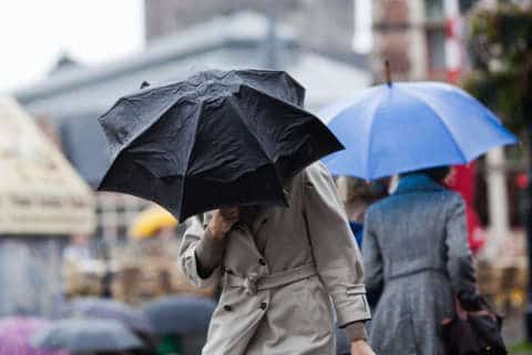
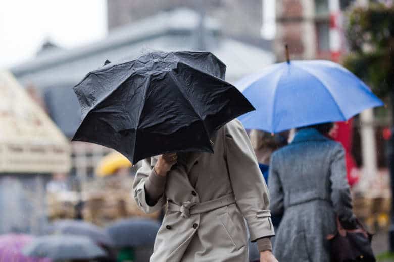
WASHINGTON — The longest rain-free stretch of the year in the WTOP listening area came to an end on Friday afternoon. By 9:30 p.m. about .13 inches of rain made 2018 the second rainiest year on record, with plenty more precipitation to come both Friday night and Saturday.
Only about .43 inches of rain is needed to make 2018 the wettest year on record.
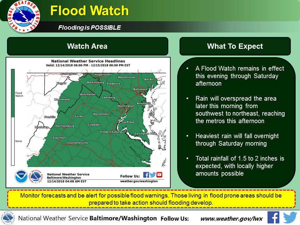
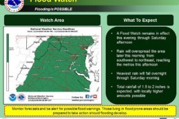
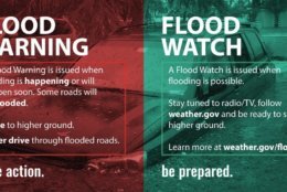
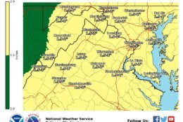
The National Weather Service issued a flood watch from Friday evening through Saturday afternoon for the entire WTOP listening area, and the service says 1 to 2 inches is the most likely total but added that 3 inches are possible.
WTOP Traffic Center
WTOP Weather Center
Current Conditions and Weather Radar
Closings and Delays
Records made to be broken
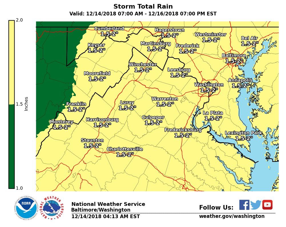
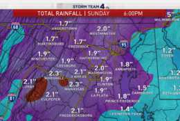
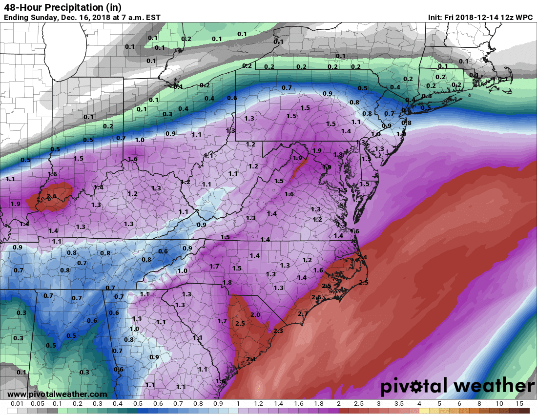
Most of the WTOP listening area has been without rain for 11 days, but the rain that started Friday afternoon will continue all weekend. And by the time it is over, the system will have dumped between an inch and 2 inches of rain on the area through Sunday evening, Storm Team4 Meteorologist Lauryn Ricketts said Friday.
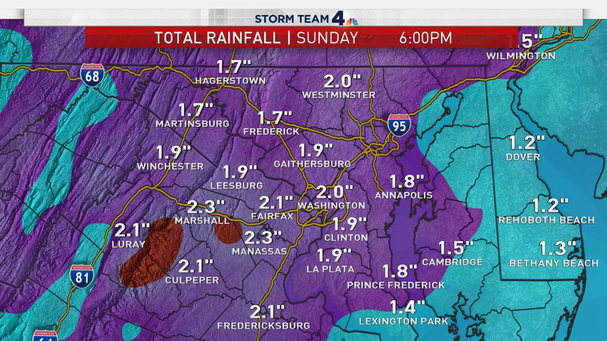
That would blow away the current record. Since annual rainfall measurements began in 1871, the current record year is 1889, when the precipitation total was 61.33 inches. Heading into Friday, 2018 has seen 60.78 inches. That total currently ranks third, behind 2003, which saw 60.83 inches.
Storm Team4 Meteorologist Chuck Bell pointed out that the cold weather has firmed up the ground, and that means flooding will happen more easily than in warmer times of the year.
While temperatures in the area have been below average for much of December, the trade-off was that most parts of the WTOP listening area were dry for 11 days. That’s the longest precipitation-free stretch since a 21-day dry stretch in 2017 in late September into early October.
The weather service predicts up to 3 inches of rain, which would easily make 2018 the wettest year since measurements were kept starting in 1871.
Blub, blub, blub. The yearly rainfall record in DC is about to be sunk. This is our local forecast model’s rainfall output over the next 48 hours. Our saturated and partially frozen ground can’t absorb this much water so flood threat is increasing. pic.twitter.com/659C3mbnzb
— Chuck Bell (@ChuckBell4) December 14, 2018
Even if the storm fails to produce just over the half-inch necessary to push 2018 into first place overall, weather service meteorologist Kevin Witt in Sterling, Virginia, anticipates some more wet weather to close out 2018.
The question, however, is whether there’s a chance for a white Christmas.
“I don’t see much of an opportunity for snow over the next week or two, more of a cool rain event,” Witt said.
If there is some rain, snow or a mix of the two in the remainder of December, Witt said he expects it to be fast-moving, not a multiday event like the one coming up this weekend.
Storm Team4 Meteorologist Amelia Draper said this weekend will be a good one to head to the malls to get some last-minute holiday shopping done. At least that way, you’ll be able to stay dry.
“Saturday is not looking like a washout, but showers are possible at any point,” she said. “Unfortunately, timing out exactly when it will be raining and when it will be dry is tricky.”
Current conditions:
Forecast:
A Flood Watch was in effect for small streams, creeks and urban areas from 6 p.m. Friday to 6 p.m. Saturday for the entire WTOP listening area.
Friday: Light rain, becoming moderate at times during evening commute. Highs in the mid-40s to 50.
Friday night: Periods of rain, moderate to heavy at times. Patchy fog. Lows in the 40s.
Saturday: Steady morning rain tapering to showers. Damp and breezy. Highs in the upper 40s to low 50s.
Sunday: Scattered showers. Highs in the mid-40s to mid-50s.
The unofficial theme song of the weekend: