WASHINGTON — With Thursday’s wintry mix still affecting road conditions into the night, a number of school systems around the D.C. region have announced delays for Friday.
In Virginia, school systems in Fairfax, Loudoun, Prince William, Fauquier counties will open two hours late Friday. See the latest delays and closures on WTOP’s “Closings and Delays” page.
The D.C. area was under a Winter Weather Advisory for much of the day. A number of counties and areas are under that advisory well into the night: Fauquier and Culpeper counties in Virginia are under the advisory until midnight.
Frederick, northern Montgomery and Carroll counties in Maryland, and Loudoun County and the Shenandoah Valley in Virginia are under a Winter Storm Warning until 4 a.m. Friday.
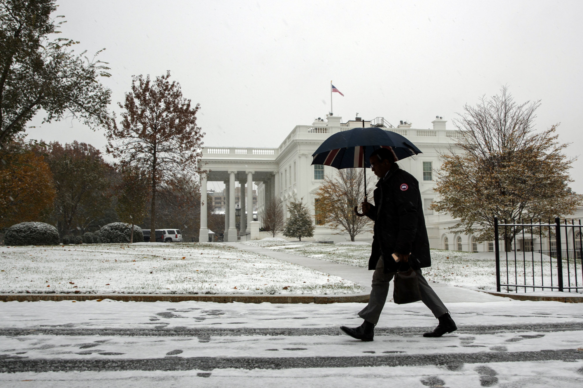
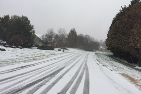
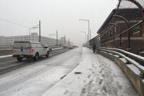
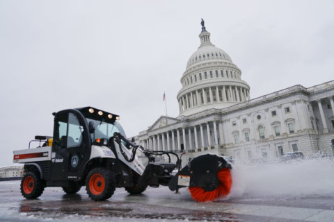
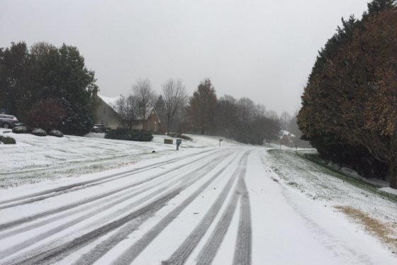
The D.C. area’s first snow of the season made trouble on the roads all through the day Thursday. Accidents stacked up all over the region, and the gradual changeover to rain wasn’t making things much better, especially north and west of D.C.
- Get the latest weather forecasts
- Area closings and delays
- Get the latest traffic conditions
- Sign up for WTOP alerts
For the rest of evening, there’s snow, sleet and freezing rain north and west of the District, and rain elsewhere, said Storm Team 4 meteorologist Mike Stinneford. Temperatures are expected to drop into the 30s Thursday night.
There’s a chance that the rain will briefly change back over to snow for the Shenandoah Valley and northern Maryland before ending very early Friday morning.
The conditions, and the people driving in them, have caused havoc on several area roadways.
WTOP’s Traffic Center reported a number of spinouts across area roads, including on icy, snow-covered ramps in interchanges.
“This is a fairly early season winter event for us and those are always challenging,” Steven Zubrick, science operations officer with the National Weather Service’s weather forecast office covering the Baltimore-Washington area, told WTOP.
“Doesn’t take much in terms of temperatures — either at the surface or aloft — to cause a change in precipitation type from, say, rain to sleet to snow. These can be very minor temperature changes.”
“A lot of people didn’t think the snow would materialize this early in the year. It’s a little bit of a shock value,” Ellen Kamilakis, with the Virginia Department of Transportation, said Thursday. “We ask people to slow down, to add in more time to their commutes, to not underestimate things.”
The worst road conditions, like the worst weather conditions, were around I-270 and I-70, said Bob Marbourg in WTOP’s Traffic Center. With a lot of slush on the roads during the evening commute, traffic was barely moving around the intersection of those two roads.
Cars were stuck in traffic for hours, especially between Frederick and Hagerstown, Maryland, on I-70, Marbourg said.
The time it takes to clear any crash has been magnified by the conditions, he added.
East of the District, roads are simply wet — which still poses a set of challenges, Marbourg said.
Icy and snowy conditions have also caused problems on Interstate 395 and Interstate 95.
Rain is expected to before 7 a.m. Friday. Then, Friday brings more sun and wind with highs in the mid-40s to low 50s. The weekend and much of next week is expected to be chilly, but without all the precipitation this Thursday is bringing.
Current conditions
WTOP’s Teta Alim, Rick Massimo, Jack Moore and Will Vitka contributed to this report.