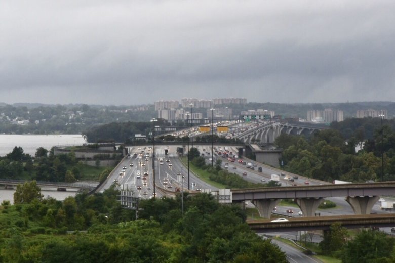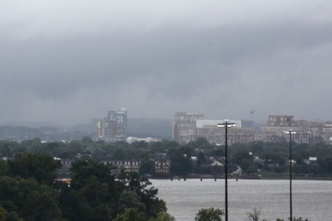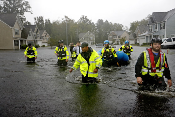
WASHINGTON — If thunder and lightning woke you up last night, you weren’t the only one. Florence’s remains dumped around 2 inches of rain on most of the D.C. region. Flood watches continued on Tuesday.
Florence is slowly making its exit, bringing strong thunderstorms, floods and even a few tornadoes east of the Blue Ridge Mountains. Standing water on some area roadways caused travel headaches for commuters. Rail service is also impacted. Here’s what to look out for:
Traffic and transit impacts
After flooding shuttered the MARC Camden Line Tuesday morning, limited service is set to resume in the afternoon.
The Camden Line will run on an “R” schedule Tuesday afternoon. In addition, Train 853 (the 3:40 train from Camden Yards to D.C.) will also operate. See the full list.
In Virginia, Rappahannock County Public Schools are closed Tuesday due to dangerous road conditions.
For the latest road conditions and closures, head to WTOP’s traffic page.
Sunnyside Avenue both ways between US-1 and Kenilworth Avenue: All lanes blocked by street flooding.
Brock Bridge Road, between MD-197/Laurel Bowie Road and Sudlersville S.: All lanes blocked by street flooding.
Braddock Rd westbound between Backlick Rd and Hemming Ave: All lanes blocked by a downed tree.
More storms are in the forecast for Tuesday afternoon before the region closes the book on Florence, and a Flash Flood Watch continues until 6 p.m. for most of the WTOP listening area.
“What’s left of the storm brought heavy thunderstorms overnight and will bring one final round of storms again this afternoon,” NBC Washington meteorologist Chuck Bell told WTOP. “You will feel the high humidity of this tropical air-mass the minute you step outside. That high water content will mean that more periods of heavy rain will be possible this afternoon.”
The main threat, like with the remnants of most hurricanes, is flooding. As the National Hurricane Center called it, post-tropical cyclone Florence is “expected to produce heavy to excessive rainfall through Tuesday.”
Another round of showers and thunderstorms will move across the area this afternoon. We have issued Flash Flood Watches for the areas in green through 6 PM this evening. The Flash Flood Watch for Augusta County is due to high water at the Robinson Hollow and Tom’s Branch Dams. pic.twitter.com/HRGKRWIjrk
— NWS DC/Baltimore (@NWS_BaltWash) September 18, 2018
Watches
Several streams, including Rock Creek, were surging this morning as rainfall continued in the area.
“Although Rock Creek has fallen below flood stage, it is still near bankfull and these additional showers could bring it back above flood stage, causing road closures in southern Montgomery County or the District of Columbia,” the National Weather Service said.
A 911 call reported a car trapped in high water on Race Road near Elkridge, Maryland at around 4 a.m.
The following areas are under a Flash Flood Watch until 6 p.m.:
In Maryland: The counties of Anne Arundel, Charles, Frederick, Harford and Prince George’s in Maryland.
In Virginia: Falls Church, Manassas Park, Manassas City, and the counties of Fauquier, Culpeper, Rappahannock, Frederick, Warren, Clarke, Orange, Stafford, Spotsylvania, Warren and King George.
Forecast
Florence will finally move out to sea by Tuesday night, heading off the eastern seaboard north of the D.C. area, according to Storm Team 4 meteorologist Lauryn Ricketts. Improving conditions will take place Tuesday overnight with clearing skies.
Sunshine is expected in the region as high pressure builds Wednesday through Friday.
Tuesday: Scattered showers and storms — some strong, overcast and humid.
Highs: around 80Wednesday: Becoming sunny, less humid.
Highs: lower 80s
Thursday: Sunny skies and comfortable.
Highs: 70s to near 80s
Current conditions
Not seeing the interactive weather map below? Find it on the WTOP Weather page.
WTOP’s Alejandro Alvarez, Valerie Bonk and Abigail Constantino contributed to this report.

