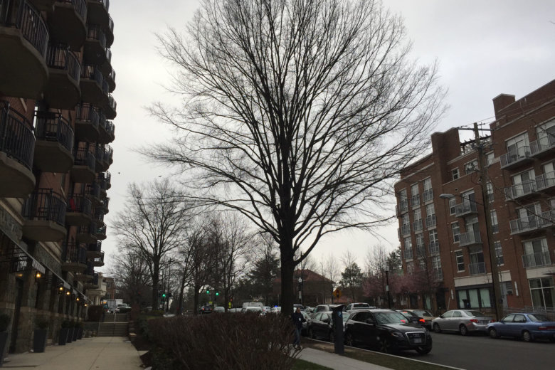
Today will be out 12th consecutive day colder than average. The cold pattern is set to continue for a long time to come and our string of colder than average days could reach 21+ days. #ThinkSpring It'll get here eventually. pic.twitter.com/QByRTK4qBR
— Chuck Bell (@ChuckBell4) March 16, 2018
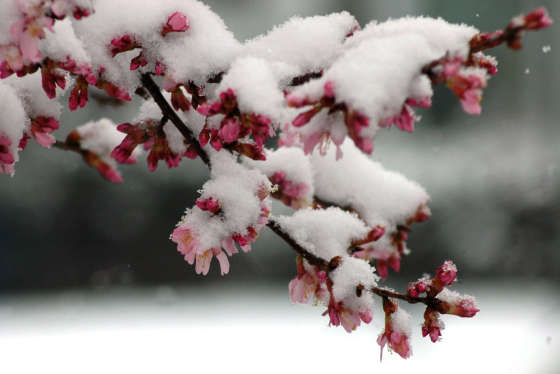
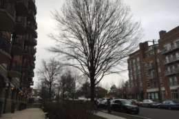
Thick flakes dusting the Dunn Loring metro this morning. It's very pretty. @wmata @WTOP @capitalweather pic.twitter.com/xRapz86SOb
— Jennifer Ann (@jz2dc) March 16, 2018
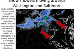
Snow showers are moving into the metro area. Use caution if driving this morning until they pass. pic.twitter.com/PyO2pLkvD1
— NWS DC/Baltimore (@NWS_BaltWash) March 16, 2018
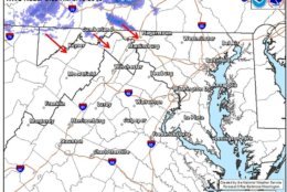
Some snow showers will move southeast from PA into parts of western MD and the eastern panhandle of WV. A quick coating to half inch of accumulation on grassy surfaces is possible. These will weaken as they move further southeast and only a few flurries are expected elsewhere. pic.twitter.com/q8gP155WbB
— NWS DC/Baltimore (@NWS_BaltWash) March 16, 2018


WASHINGTON — March is certainly turning out to be a cold month, and there is the prospect for one more winter storm, if you believe one of the computer forecasting models.
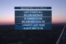
Friday marked the 12th consecutive day that temperatures are colder than average and the worst might be on the way.
Washington #DCA is likely to stay below 60F for the next week, which would move it up to the 6th coldest high on record for March to date. #dcwx #climate pic.twitter.com/MXlCsVz0bO
— Capital Climate (@capital_climate) March 15, 2018
Meteorologists say if temperatures stay below 60 degrees next week, March would be the sixth coldest on record.
“There are increasing signs of a large, late winter storm impacting the area on Tuesday and Wednesday,” said Storm Team 4 Meterologist Chuck Bell. “Whether or not we will be cold enough to make this a wet snow, instead of a cold rain event is the million-dollar question.”
Snow in March is not unheard of in the D.C. area, but the area only gets 1.3 inches on average. Parts of the region saw flurries Friday morning.
Bell said while the American model forecasts the D.C. area getting cold, the European model forecasts the D.C. area getting snow, and a lot of it. More than a foot to be exact.
“With two wildly different solutions, we have to take a wait-and-see approach on forecasting snow, especially so late in the season,” Bell said. “But the Tuesday night time frame will be the best opportunity for accumulating snow.”

