WASHINGTON — The holiday extended weekend is upon us, starting out with an autumnal feel to Friday’s weather thanks(?) to the strong cold front which passed through Thursday evening.
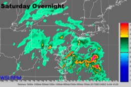
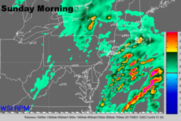
Folks getting away to the mountains or the beaches still look like they will not have many travel problems due to the weather Friday, especially if they’re leaving before the evening. During the later evening hours into the overnight, some light rain from the remnants of “Harvey” will start overspreading the area, possibly slowing things with wet roadways. The rain will last through Saturday and Saturday night/early Sunday morning. Then we will be back to summerlike weather for the rest of the weekend.
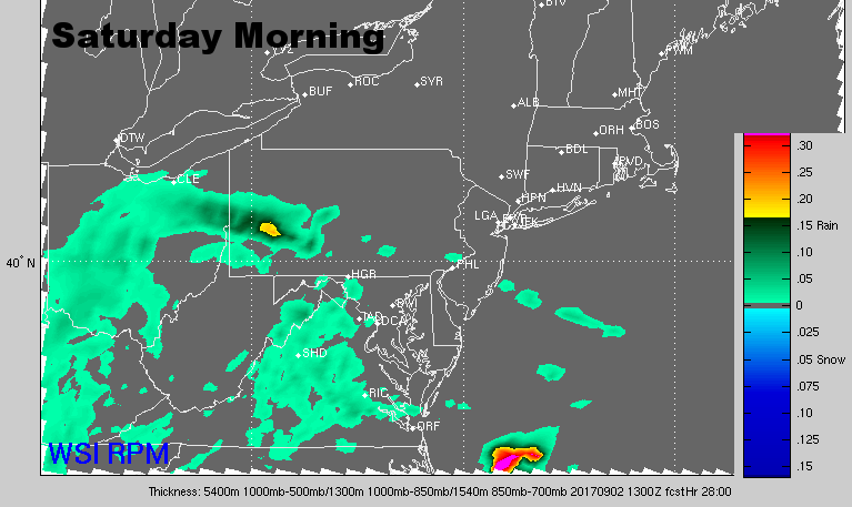
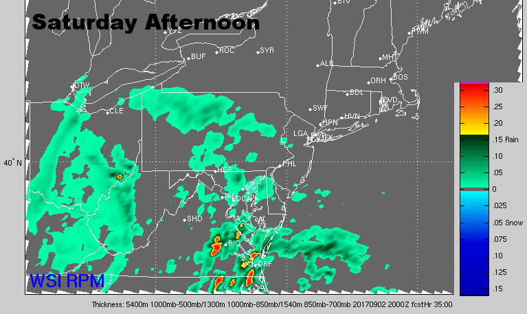
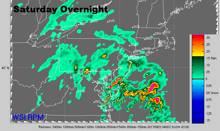
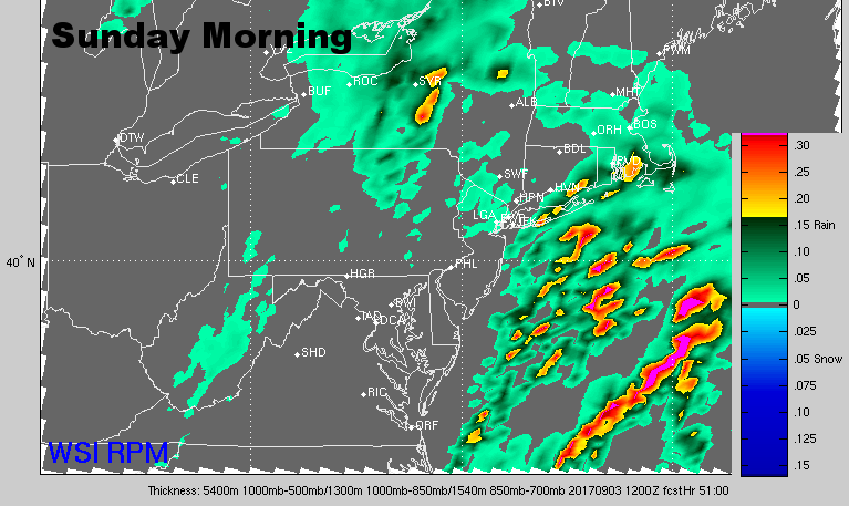
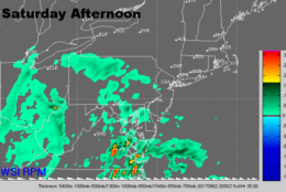
Cloudy skies and the rain and drizzle will certainly keep Saturday on the gloomy side, but considering these are tropical remnants, and considering Harvey’s terrible history, the WTOP listening area will be getting off easy.
It does look like umbrellas will be needed for most of the day, but rainfall may only add up to about half an inch in the mountains and close to D.C. Slightly higher amounts of an inch or more will be likely from the Hampton Roads/Virginia Beach areas and the Outer Banks.
As was mentioned in the previous outlook, there is still likely to be a big temperature variance across the region, with cooler numbers in the 60s along the Delmarva beaches and here at home, with slightly higher temperatures in Va. Beach/Outer Banks. This will depend on the exact position of the old front which by then will have merged with Harvey’s old circulation.
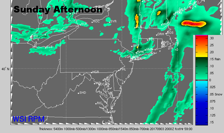
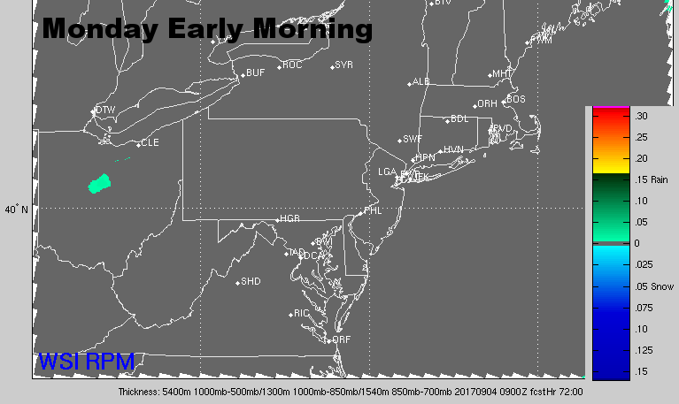
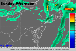
Regardless of Saturday’s outcome, Sunday will feature gradually clearing skies and warming temperatures courtesy of increasing sunshine and predominantly westerly winds. Most of us will be back up to near 80 in the afternoon, and Labor Day Monday will have all of us in the mid 80s. So with the exception of Saturday, the weather will cooperate for the rest of weekend plans.