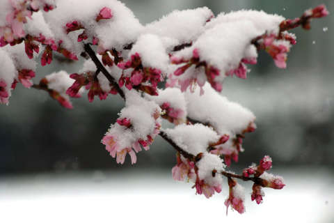
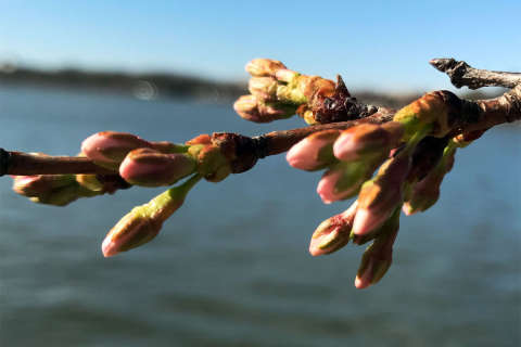
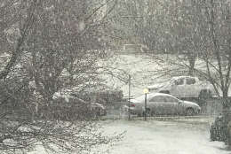
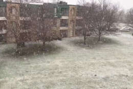
A smattering of rain and wet snow left a light coating on some grassy areas around D.C. Friday morning.
Areas north — Northern Montgomery County, Loudoun County, and Frederick County among others — saw anywhere from a quarter of an inch to about three-quarters of an inch of snow on grassy surfaces.
Closer to D.C., a wintry mix began falling shortly before 10 a.m. The technical term is “graupel,” which describes the transition state between snow and rain. Essentially, rain drops are cooling on snowflakes that are falling and it comes down as soft ice, Storm Team4 meteorologist Lauryn Ricketts explained.
The wet weather is expected to end by noon.
But be prepared for a cold blast of winter temperatures this weekend. The winds will pick up this afternoon. Overnight wind chills will drop temps to the teens and single digits. Despite plenty of Sun on Saturday, the high temperatures will only inch up to the upper 30s.
But don’t fear snow lovers. There’s another chance for accumulating snow on Tuesday.
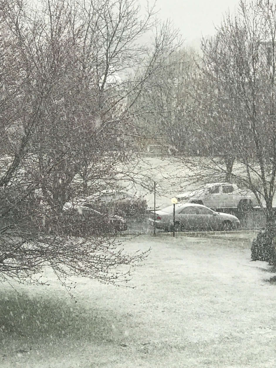
Some early March "graupel" in Northwest DC pic.twitter.com/SIQGgFBI5j
— Jack Moore (@jmooreDC) March 10, 2017
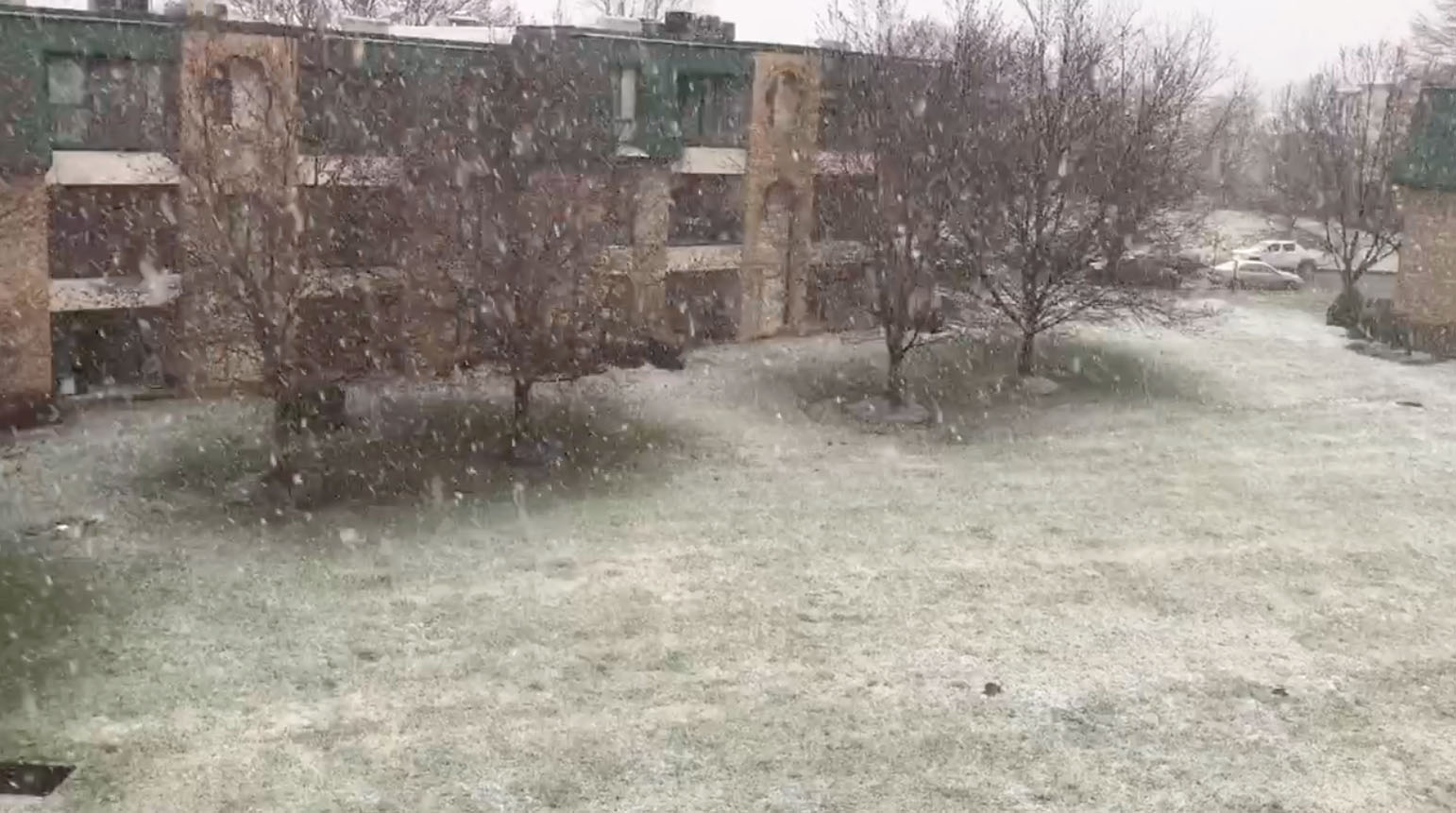
Slo-mo #SpringSnow video I shot in rural Montgomery County MD this Friday morning #NBC4DC pic.twitter.com/sueWeWBZX8
— Tom Kierein (@TomKierein) March 10, 2017
Hoping to see some of that snow here in #NWDC. If you don't get snow today, fear not... there's another snow chance on Tuesday. https://t.co/P1MU5yfcxb
— Chuck Bell (@ChuckBell4) March 10, 2017
What does the rain, snow and graupel mean for cherry blossoms?
Earlier this week, the National Park Service pushed back the peak bloom date — when 70 percent of the Yoshino cherry trees’ blooms are open — by several days because of the cold snap this weekend. The colder temperatures this week have the potential to lessen the impact of the full bloom when it finally does arrive — especially if temperatures dip below 27 degrees.
How much of a threat are the snow and frigid temperatures this weekend?
It turns out, the park service doesn’t have a record of a year where the cherry blossoms failed to bloom because they were damaged by cold weather before the peak bloom, although there have been some instances where strong winds knocked blossoms off shortly after peak bloom.


