




WASHINGTON – Temperatures continued to stay above freezing Monday afternoon and highs are expected to reach into the 40s, but the warmer weather won’t be long lived.
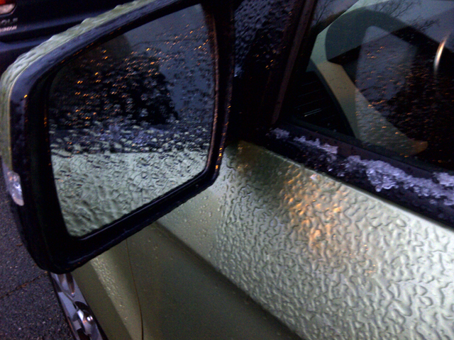
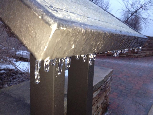
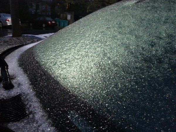
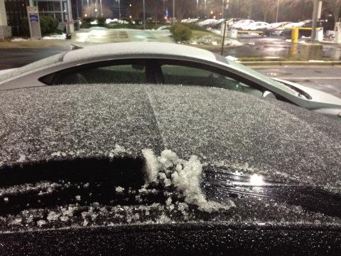
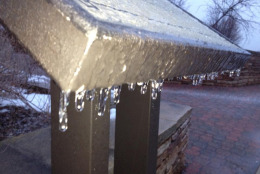
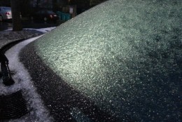
The morning sleet closed some school districts in the D.C. area on Monday and forced other districts — and the federal government — to open late. But the precipitation turned into a light rain as the afternoon began, and is expected to taper off in the evening hours, forecasters say.
The Winter Weather Advisories that were in effect through the morning have expired, according to the National Weather Service.
The clouds will remain once the rain stops falling on Monday afternoon. Areas of fog will develop overnight and into Tuesday morning, say ABC7 meteorologists. Temperatures on Tuesday are expected to rise into the 50s as a warm front moves in and the day is expected to remain cloudy. On Wednesday, temperatures may climb into the 60s, with showers and thunderstorms expected in the afternoon.
Another cold front moves in Thursday afternoon with highs in the 40s and lows in the 30s. On Friday, the mercury will drop back into the 30s and stay there throughout the weekend. Forecasters say snow flurries are possible both Friday and Saturday.
The average high for today’s date is 44. The record high temperature is 73 degrees, set in 1949. The record low is minus 2 degrees, set in 1935.
On Monday, schools closed in Arlington, Fauquier, Madison and Loudoun counties. There were two-hour delays for Calvert, Charles, Montgomery, Prince George’s, Frederick, Howard and St. Mary’s counties in Maryland and for Alexandria, Culpeper, Prince William, Spotsylvania and Stafford counties in Virginia.
All of the closings and delays are on WTOP’s Closings and Delays page.
WHAT PEOPLE SAW
Follow @WTOPTraffic and @WTOP on Twitter.
(Copyright 2013 by WTOP. All Rights Reserved.)


