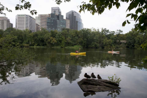
WASHINGTON — If you thought trees just stand there shading us from the hot sun all day, you’re only getting part of the story.
According to an app adopted by Montgomery Parks, it turns out trees filter stormwater and remove pollutants from the atmosphere. The Open Tree Map app helps users identify trees; thanks to the app, users can discover that area parks are home to everything from Japanese Zelkovas to American beeches.
App users can “favorite” trees, take photos and even communicate with Montgomery Parks staff.
The trees are being cataloged by the Montgomery County Parks’ Arboriculture Division and so far, 76 parks have had their trees added to the app. Stats on the trees also include type and diameter as well as a dollar figure calculation that show the benefits the trees provide.
Here’s how to access the app on your mobile device:
Search for OpenTreeMap on the Google Play Store or the Apple Store to download the app to your mobile device. Once you’ve registered and created your account, choose the Montgomery County Parks map from the list of nearby maps and begin exploring.