

Thunderstorms rolling through the D.C. area have led to power outages, flood risks and damage caused by downed trees.
Nearly 22,000 households across the D.C. area are being affected by power outages, as of approximately 9:15 p.m.
WTOP meteorologist Mike Stinneford described the storm conditions as a “really dangerous situation,” with winds reaching 70 mph and “a lot” of quarter-sized hail.
Stinneford said the northern and western suburbs of the D.C. area are likely to witness the worst of the storms.
This video is no longer available.
WTOP traffic reporter Dave Dildine said road conditions are “very slow” across Interstate 270, reminding drivers to have both their windshield wipers and their headlights turned on.
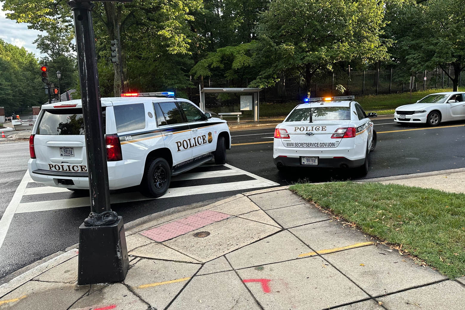
A large tree has fallen on an SUV in the District, on Massachusetts Avenue by Observatory Circle. According to D.C. Fire and EMS, the driver was not injured.
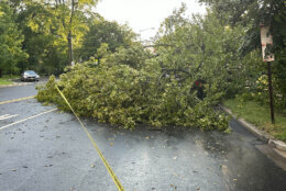
Another tree fell on a house in the 4500 block of Bagden Avenue NW. D.C. Fire and EMS said residents were safely evacuated.
Tree on house 4500 block Blagden Ave NW. large tree with significant structural damage. Setting up safety zone and securing utilities. Occupants safely evacuated. #DCsBravest pic.twitter.com/gStTq3rEFK
— DC Fire and EMS (@dcfireems) July 14, 2023
“Hazards are lurking out there, road spray is just one,” said Dildine.
Storms are expected to end after midnight, according to Stinneford.
Reagan National, BWI Marshall and Dulles International airports were placed under ground stops Friday afternoon, but the restrictions were lifted in the evening.
Parts of Fairfax and Loudon counties were under a Flash Flood Warning issued by the National Weather Service until 9 p.m.
Gaithersburg, Germantown and North Potomac in Maryland were also under a Flash Flood Warning, through 8:30 p.m.
The weather service issued a Severe Thunderstorm Warning for parts of Prince George’s and Charles counties in Maryland, as well as parts of Stafford, Fairfax and Prince William counties in Virginia, which lasted until 7:30 p.m.
A Severe Thunderstorm Warning for D.C., parts of Prince George’s County in Maryland and parts of Arlington and Alexandria counties in Virginia was in effect through 7:15 p.m.
A Severe Thunderstorm Warning for parts of Fairfax County and Prince William County, including the city of Manassas, in Virginia ended at 7 p.m.
Another Severe Thunderstorm Warning was in effect for D.C., southeastern Montgomery and northern Prince George’s counties in Maryland and northern Arlington and northeastern Fairfax counties through 6:30 p.m.
The weather service had issued a Severe Thunderstorm Warning for south-central Montgomery County and southeastern Loudon and northwestern Fairfax counties in Virginia, in effect until 6:15 p.m.
Another Severe Thunderstorm Warning was in effect for west-central Montgomery County and northeastern Loudon County through 5: 45 p.m.
The weather service also issued a Severe Thunderstorm Warning for central Montgomery County, in effect through 5:30 p.m.
Another Severe Thunderstorm Warning was in effect for northwestern Loudon County and southwestern Frederick County in Maryland until 5:15 p.m.
- Listen to WTOP online and on the radio at 103.5 FM or 107.7 FM.
- Current traffic conditions
- Weather forecast
- Closings and Delays
- Sign up for WTOP alerts
Forecast
FRIDAY NIGHT: Thunderstorms before midnight, mainly over the eastern and southern suburbs. Partly cloudy overnight. Lows low to mid 70s.
SATURDAY: Partly sunny and muggy with isolated afternoon storms. Highs in the low to mid 90s.
SUNDAY: Partly sunny with showers and afternoon thunderstorms. Highs in the upper 80s.
MONDAY AND TUESDAY: Hot and humid with afternoon and evening thunderstorms. Highs in the low to mid 90s.