Elected leaders working to prevent traffic and congestion from growing as the population swells in the D.C. area have a new tool in their arsenal: an interactive map.
Seeing where Metrorail, commuter rail, streetcars and Bus Rapid Transit exist now, and is proposed and planned for the future, promises to be a helpful tool for leaders who have a goal of putting 75% of new area housing near high-capacity transit or activity centers.
The Metropolitan Washington Council of Governments’ High Capacity Transit (HCT) Map Tool allows planners to adjust parameters that include different types of transit and what COG calls Equity Emphasis Areas, where there are higher concentrations of low-income and minority residents.
“For example, a planner in Fairfax County could say, ‘Show me all the transit stations in Fairfax County that are located inside activity centers.’ And this will help me understand what the relationships are of transit and the rest of the community,” said Tim Canan, planning data and research program director for COG’s Department of Transportation Planning.
“It might provide me with some insights into making investments in transit, as well as tracking the relationship between land use and transportation in my community,” Canan said.
The map will help planners better identify areas that might benefit from additional transit options, such as in western Montgomery County, Maryland.
“The planner will notice that the dots that represent the commuter rail stations in the western part of the county in the agricultural preserve will disappear from that map because they’re not in activity centers,” Canan said.
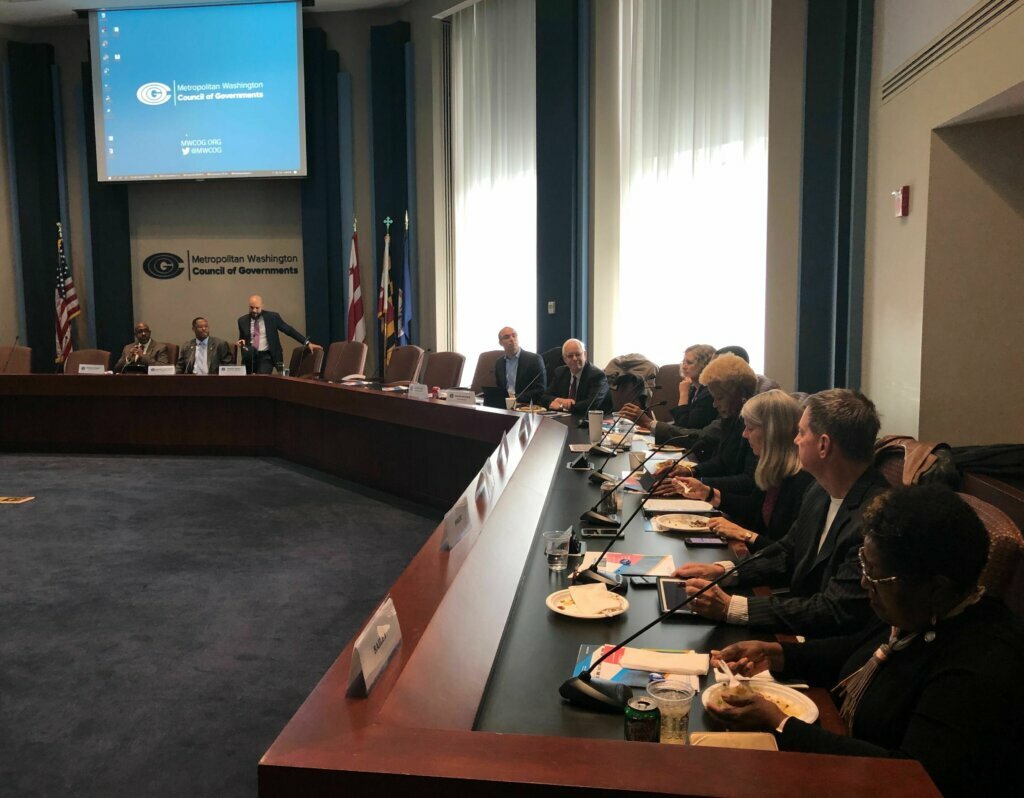
The Council of Government’s Chair Derrick Leon Davis said planning decisions of the past that created current traffic congestion will not be repeated as the number of area jobs, residents and household demands grow.
“We’re getting out in front of it. We’re talking to our planners, we’re talking with our housing developers, we’re talking with development, we’re talking with nonprofits, we’re working with the for-profits,” Davis said.
Davis added opening up opportunities for people to “work, live, play and pray all collectively in an area” will help deliver the very best quality of life and economic opportunity.
“And, ultimately, the economy goes sky high,” Davis said.