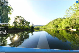
The virtual tour comprises nearly a half-million images, letting online viewers look around at any section of the Potomac River and from any vantage point they choose.
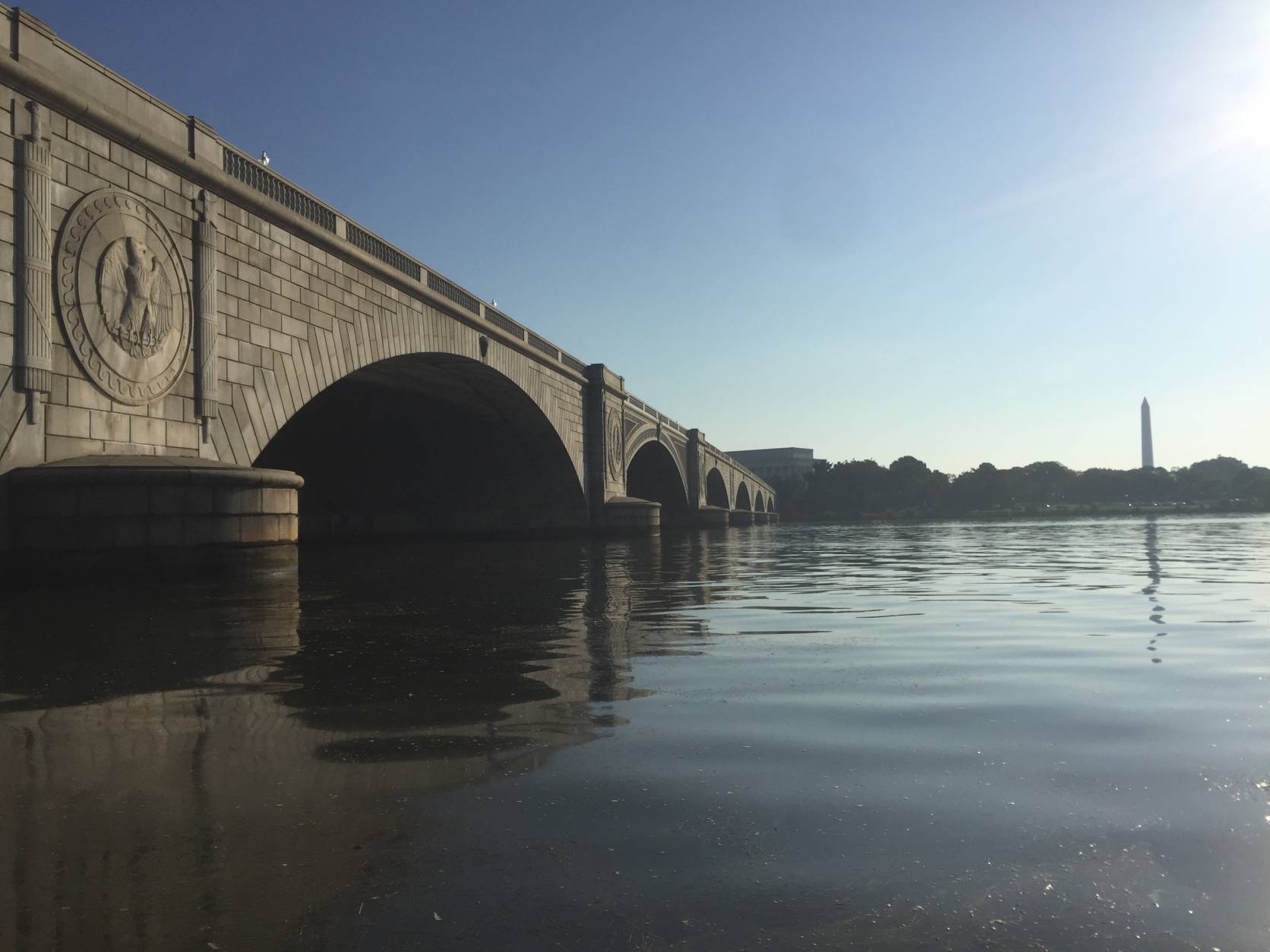
By the Memorial Bridge.
(Courtesy of Chesapeake Conservancy/Terrain360)
Courtesy of Chesapeake Conservancy/Terrain360
At the Columbia Island Marina, mapping up to Great Falls and around Georgetown.
(Courtesy of Chesapeake Conservancy/Terrain360)
Courtesy of Chesapeake Conservancy/Terrain360
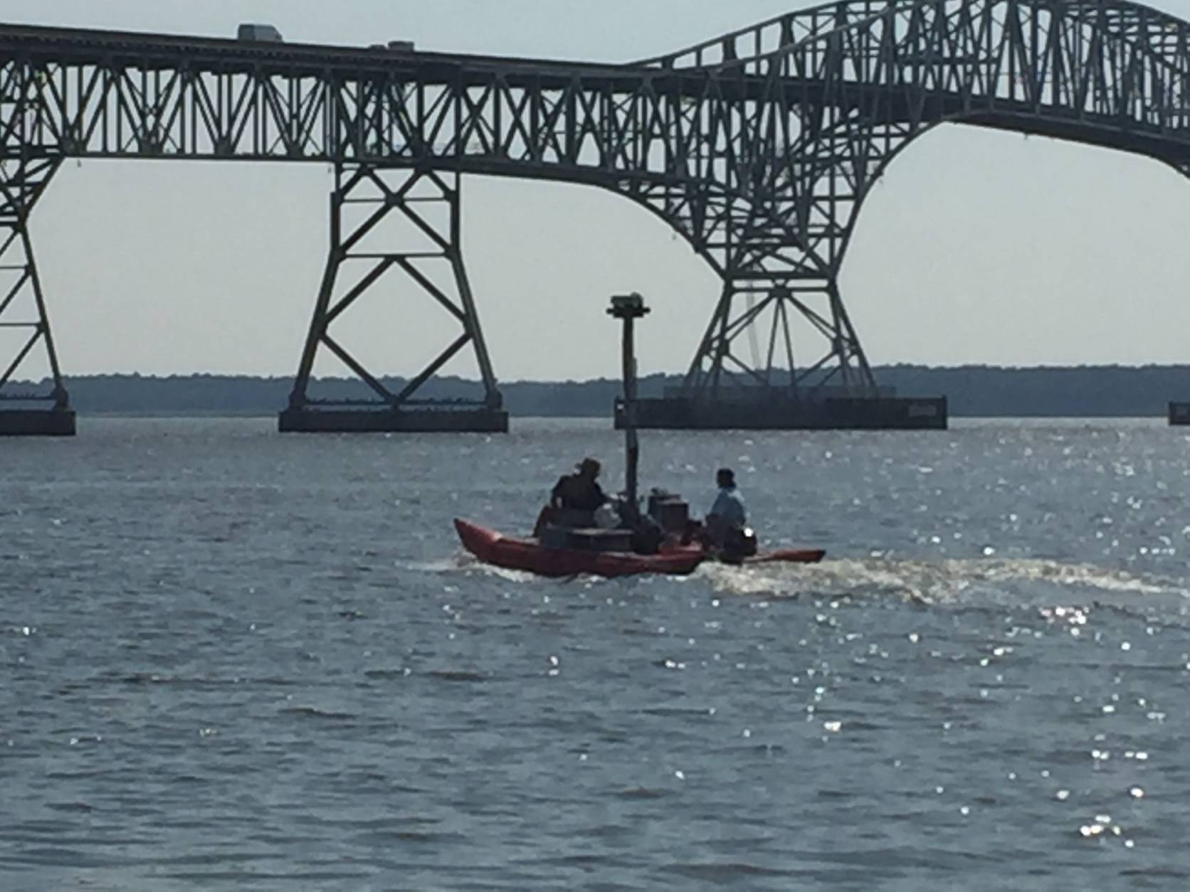
The pontoon boat on the Potomac River near the Harry Nice Bridge on the Maryland side.
(Courtesy of Chesapeake Conservancy/Terrain360)
Courtesy of Chesapeake Conservancy/Terrain360
Mapping near Westmoreland State Park, in Virginia.
(Courtesy of Chesapeake Conservancy/Terrain360)
Courtesy of Chesapeake Conservancy/Terrain360
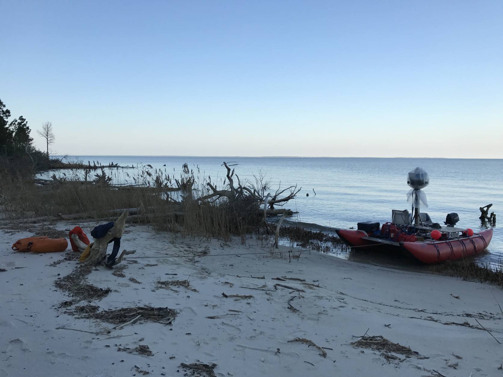
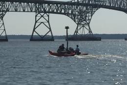
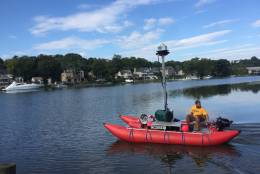
Taking out from Cape Lookout, Maryland.
(Courtesy of Chesapeake Conservancy/Terrain360)
Courtesy of Chesapeake Conservancy/Terrain360
On the Potomac near Port Tobacco.
(Courtesy of Chesapeake Conservancy/Terrain360)
Courtesy of Chesapeake Conservancy/Terrain360
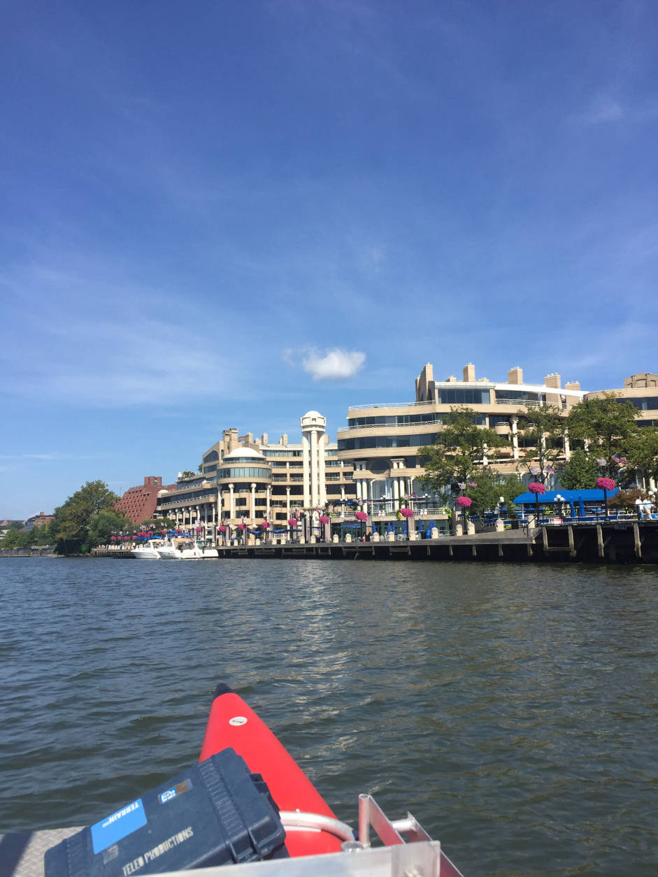
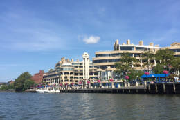
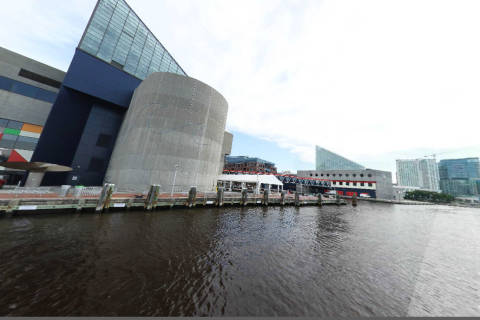
A view of the Georgetown waterfront.
(Courtesy of Chesapeake Conservancy/Terrain360)
Courtesy of Chesapeake Conservancy/Terrain360
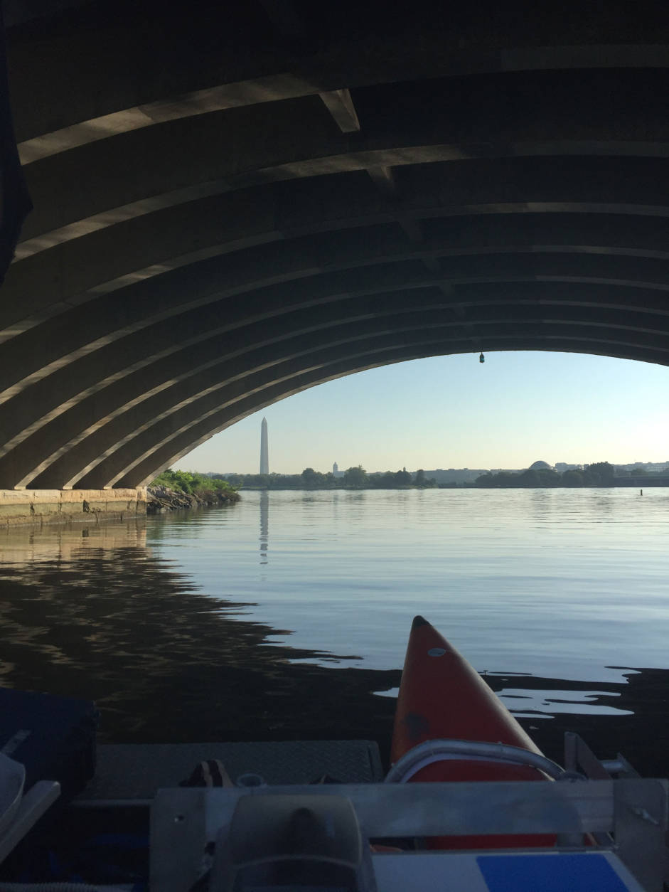
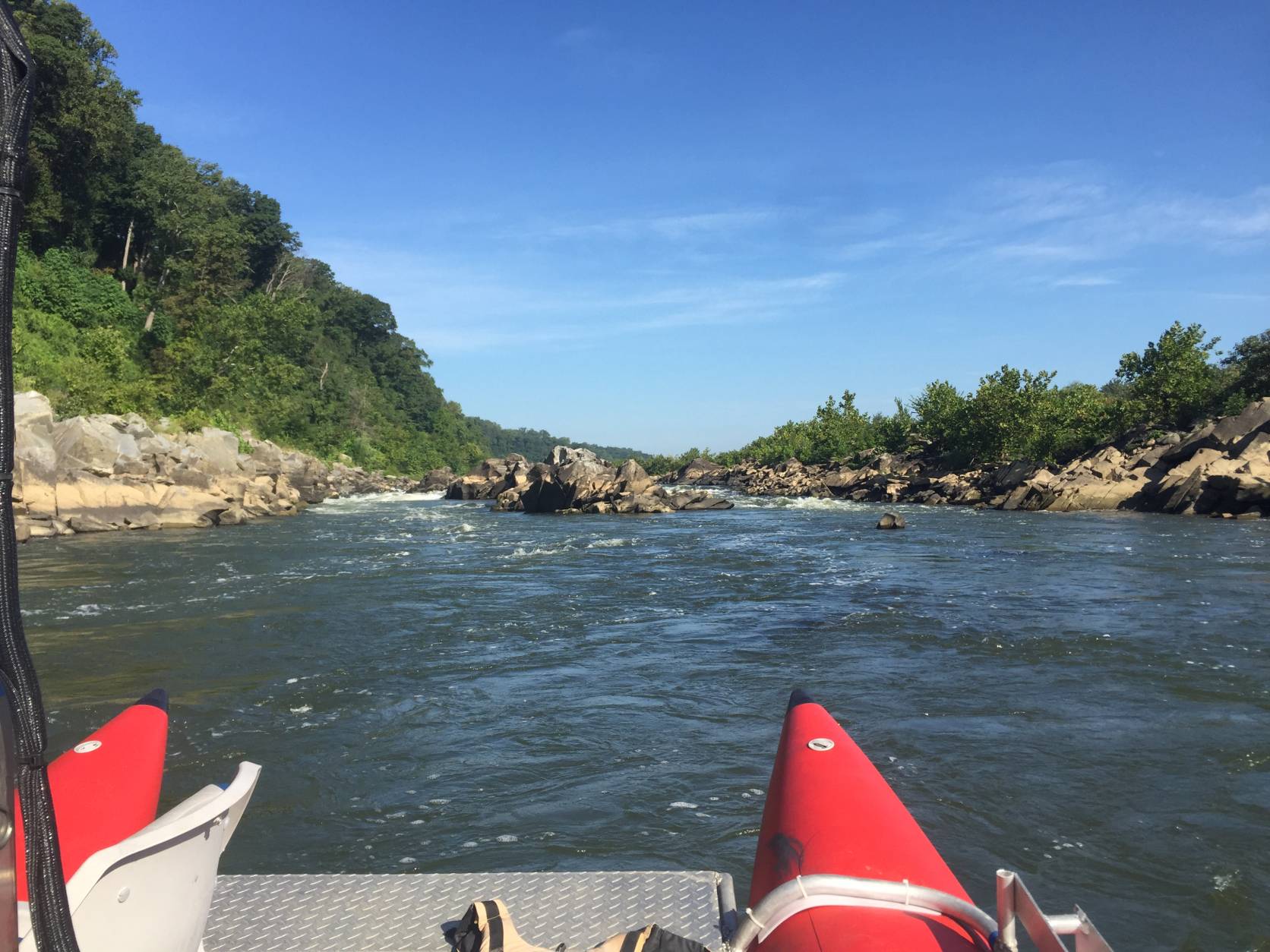
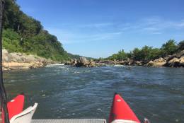
Looking upstream six miles east of Great Falls at the fall line near Fletcher’s Cove.
(Courtesy of Chesapeake Conservancy/Terrain360)
Courtesy of Chesapeake Conservancy/Terrain360
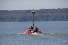
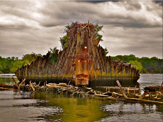
The pontoon boat at Mallows Bay.
(Courtesy of Chesapeake Conservancy/Terrain360)
Courtesy of Chesapeake Conservancy/Terrain360
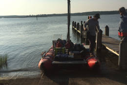
Leaving the Occoquan Public Access Point to map the river to Colonial Beach.
(Courtesy of Chesapeake Conservancy/Terrain360)
Courtesy of Chesapeake Conservancy/Terrain360
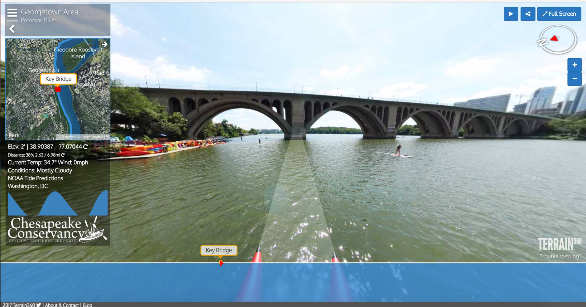
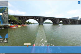
A screenshot of the Chesapeake Conservancy’s virtual tour of the Potomac, in the Georgetown area.
(Courtesy of Chesapeake Conservancy/Terrain360)
Courtesy of Chesapeake Conservancy/Terrain360
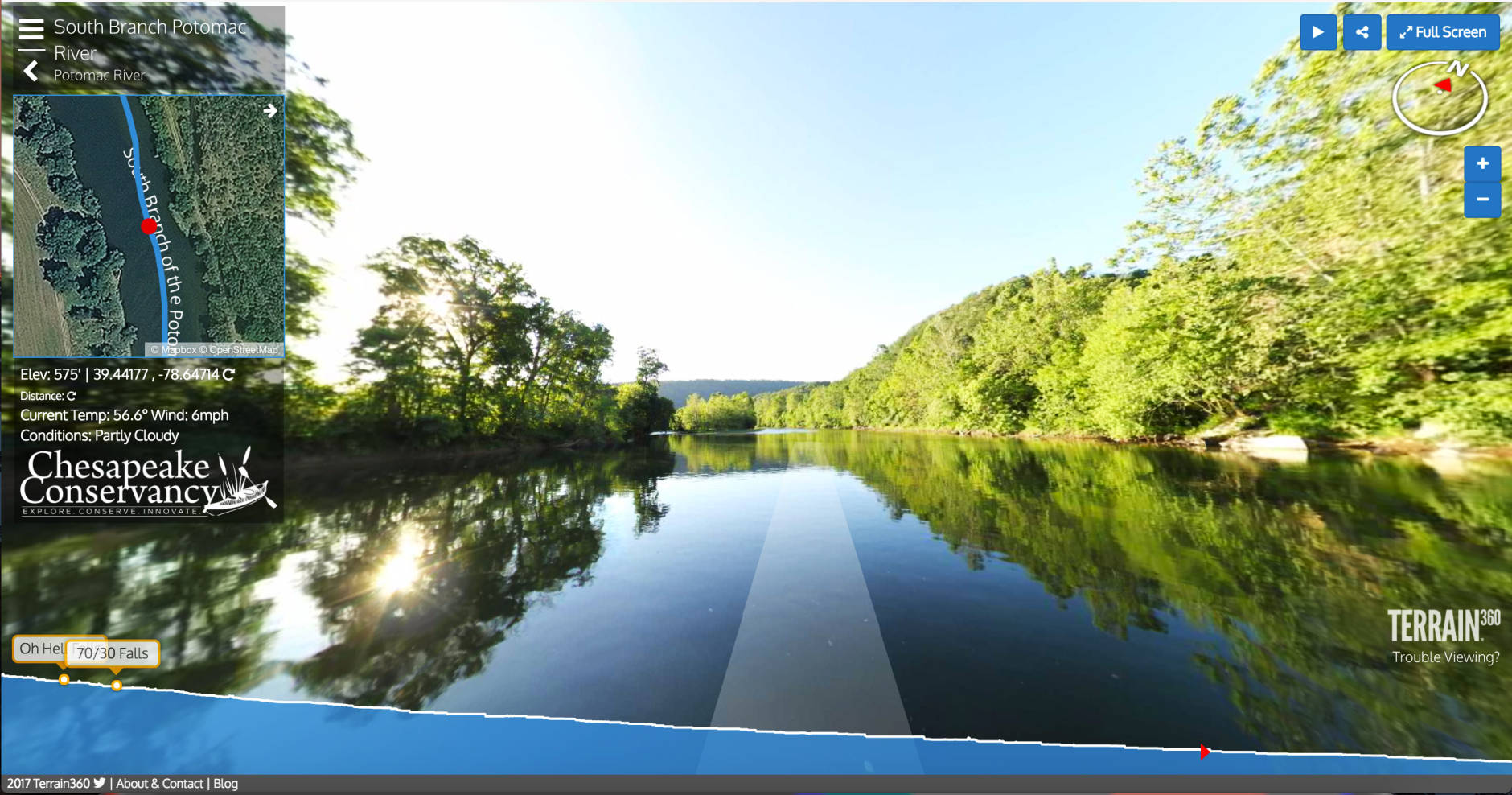
A screenshot of the virtual tour on the southern branch of the Potomac.
(Courtesy of Chesapeake Conservancy/Terrain360)
Courtesy of Chesapeake Conservancy/Terrain360
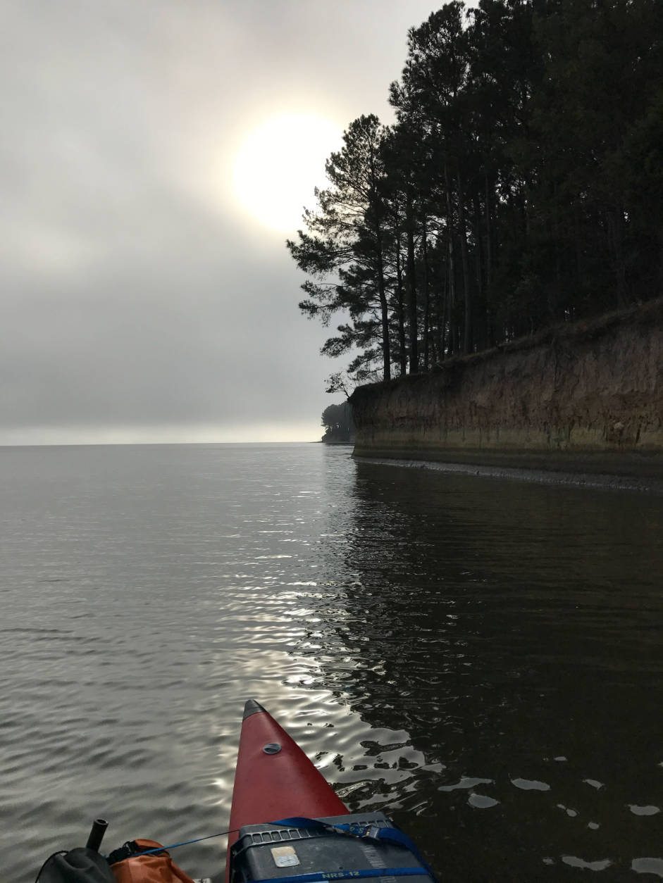
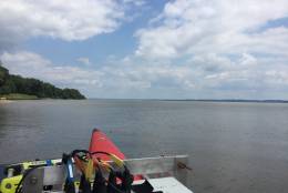
Camping near Lewisetta, Virginia.
(Courtesy of Chesapeake Conservancy/Terrain360)
WASHINGTON — It might be a little cold out to take a real cruise down the Potomac River, but a new virtual tour can remind you of the waterway’s beauties from your own home.
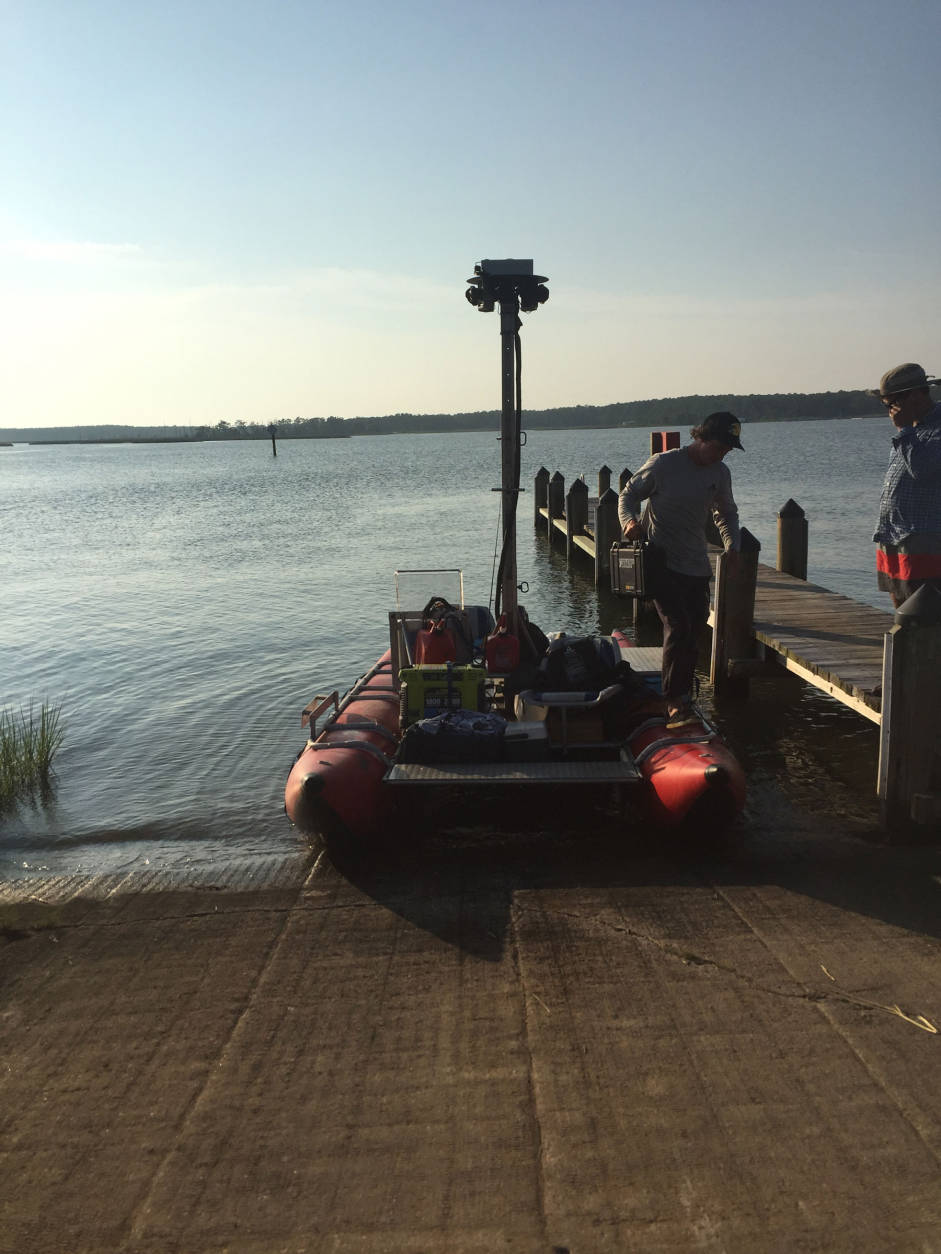
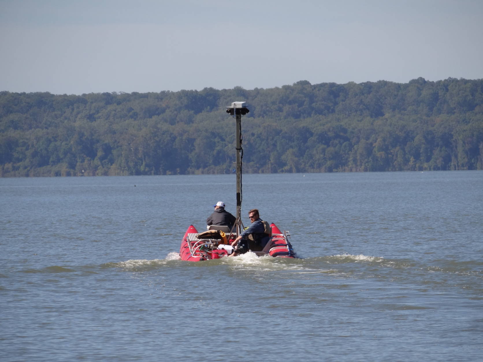
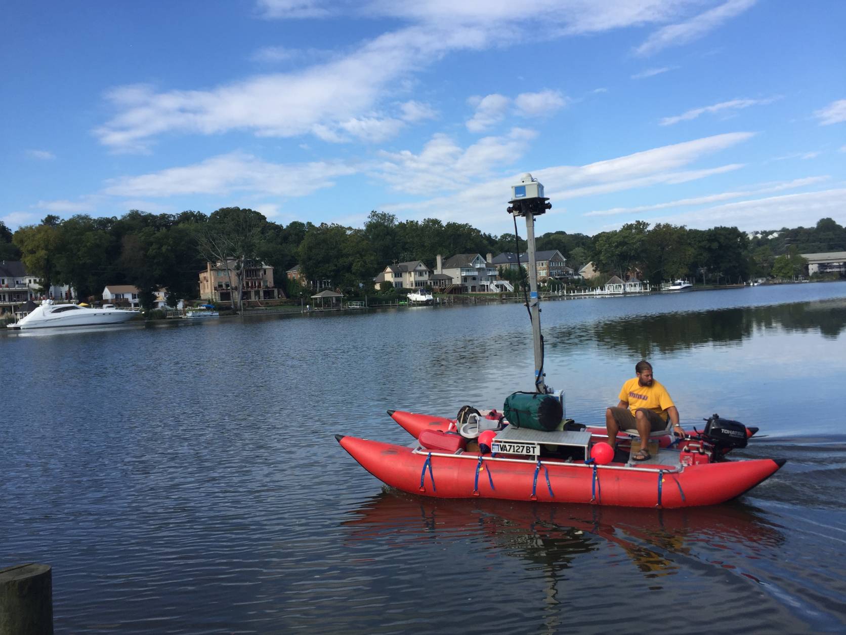
The Chesapeake Conservancy has released a virtual tour of the Potomac River comprising nearly a half-million 360-degree images taken from a pontoon boat operated by Richmond-based Terrain360.com.
The tour covers the north and south branches of the river, allows viewers to pick the sections of the river and the vantage points they want to see, and is intended to remind people of the beauty of the river — and its fragility.
“The recovery of the Potomac River over the last 50 years, from when President Lyndon B. Johnson declared it a ‘national disgrace,’ gives us great hope,” conservancy president and CEO Joel Dunn said in a statement, “… but we must remain vigilant about pollution and land use changes.”
Ryan Abrahamsen, the co-founder of Terrain360, said that during their travels, the photo crew had “quite an adventure.”
The crew counted more than 160 bald eagles, were stopped by the Coast Guard three times — “understandably so with our odd looking pontoon and equipment traveling on this river that flows through the heart of our nation’s capital” — and almost lost their boat in a squall at Colonial Beach, Abrahamsen said.
Rick Massimo came to WTOP, and to Washington, in 2013 after having lived in Providence, R.I., since he was a child. He's the author of "A Walking Tour of the Georgetown Set" and "I Got a Song: A History of the Newport Folk Festival."