WASHINGTON — Yes, I know it’s July; we do this every summer in D.C.
Average temperatures for this time of year should be in the upper 80s; however, for the last two days temperatures have topped out in the upper 90s at Reagan National Airport! That is the warmest weather we have experienced yet this summer. We’ve also had high humidity, which made the heat index soar into the triple digits, topping out around 110 at times.
But I’m happy to announce that a big break is coming our way after a few days of heat.
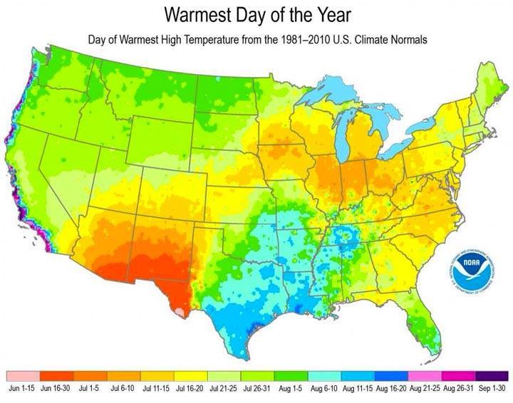
Tuesday should be the last day of extreme heat in the D.C. area, as temperatures climb above 90 for the third day in a row (that’s what constitutes a “heat wave” in this area). Sunday, July 19, was the hottest day of the year so far, as we hit a high of 98 degrees. On Monday, we hit 97, while today we should be in the lower 90s. It’s not a surprise that we’re in the average zone for the hottest day of the year for our region.
Tuesday again will top out in the lower 90s with a little more cloud cover and some decent chances of rain. Things will really begin to change as we head into Wednesday, so get ready for some much more comfortable weather coming our way.
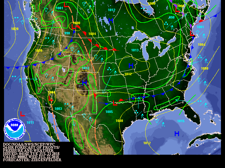
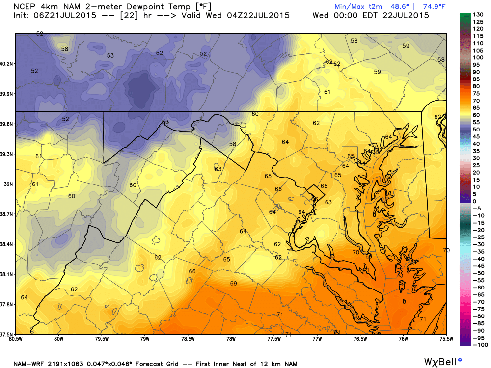
Once the front passes, we will get seasonable weather for the rest of the week. Normally, temperatures for this time of year should top out in the upper 80s and bottom out in the lower 70s. Tuesday night, humidity will drop as skies clear and temperatures will fall to around 70 degrees. By Wednesday, daytime highs will reach into the upper 80s, but there will be a lot less humidity.
There is a slight chance the we could have a little disturbance that brings some showers on Friday, but at this point, I’m not very confident about that. In fact, the current thinking is that Saturday will be dry, with continued seasonable conditions before humidity, heat and rain chances return on Sunday.