WASHINGTON — A major storm system tracking from the south will brush the D.C. region with some minor snow accumulation. However, timing is everything. This snow, like many others this season, will fall during the early hours of Thursday through the morning rush hour. Here is the latest:
An area of low pressure will track out of the Gulf of Mexico tonight and off the eastern coast of the Carolinas by Thursday morning.
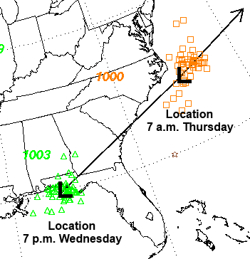
Temperatures in the early hours are forecast to drop anywhere from the mid teens to the mid-20s, so any snow that we get will immediately stick to the ground, making travel slick in a lot of the region.
Considering this storm system will track south of the region, most of the heaviest snow accumulation will be south of the D.C. metro area. A Winter Weather Advisory has been issued for the region effective through noon.
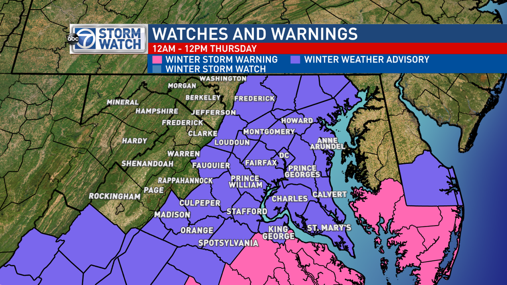
The impact will absolutely be greater south so if your travels take you south of the D.C. metro area, past Richmond and even Charlottesville on Thursday, stay alert:
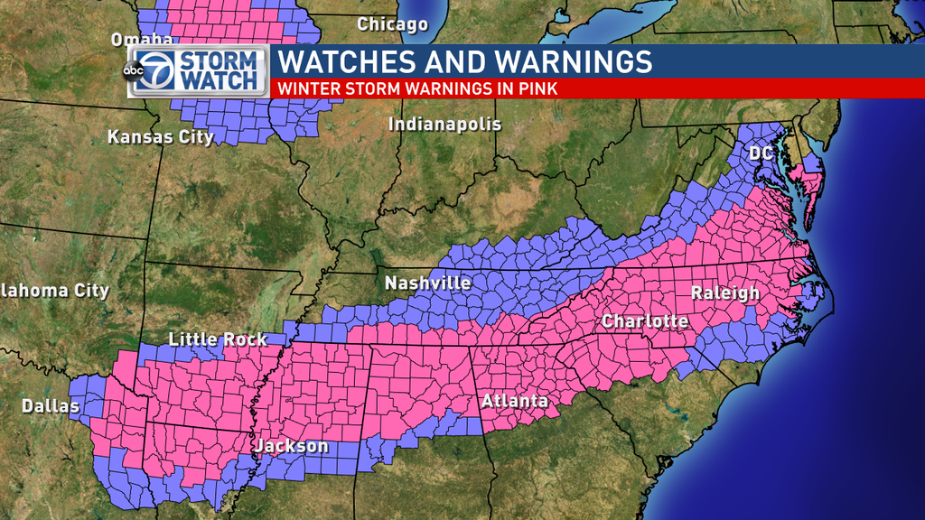
Again, we are looking at significant totals the farther south you head. However, even with minimal totals around the D.C. area, the timing of this will have this biggest impact. This is the current thinking for area snow totals:
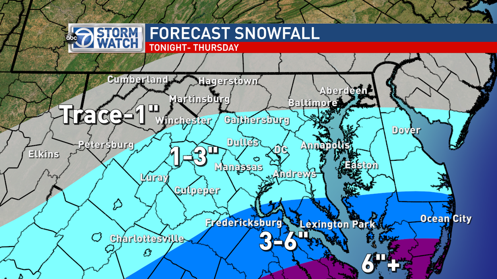
Snow will continue through the morning commute and taper off through the day. Temperatures will only make it to near 30 degrees on Thursday, so there may even be slick spots for the evening commute.
The StormWatch 7 team will continue to update you with any changes but this is the current thinking. Just plan ahead for the morning commute and travel safely. Also be advised that we are stepping closer to spring each day. Daylight Saving Time begins next Sunday, March 8.

