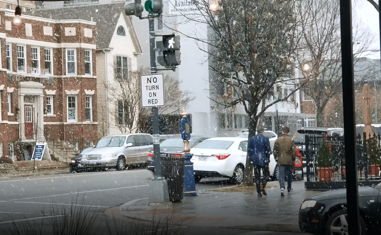

WASHINGTON — The first snowflakes of 2019 arrived in the area Wednesday afternoon, a preview of what forecasters are saying will be a snowy weekend.
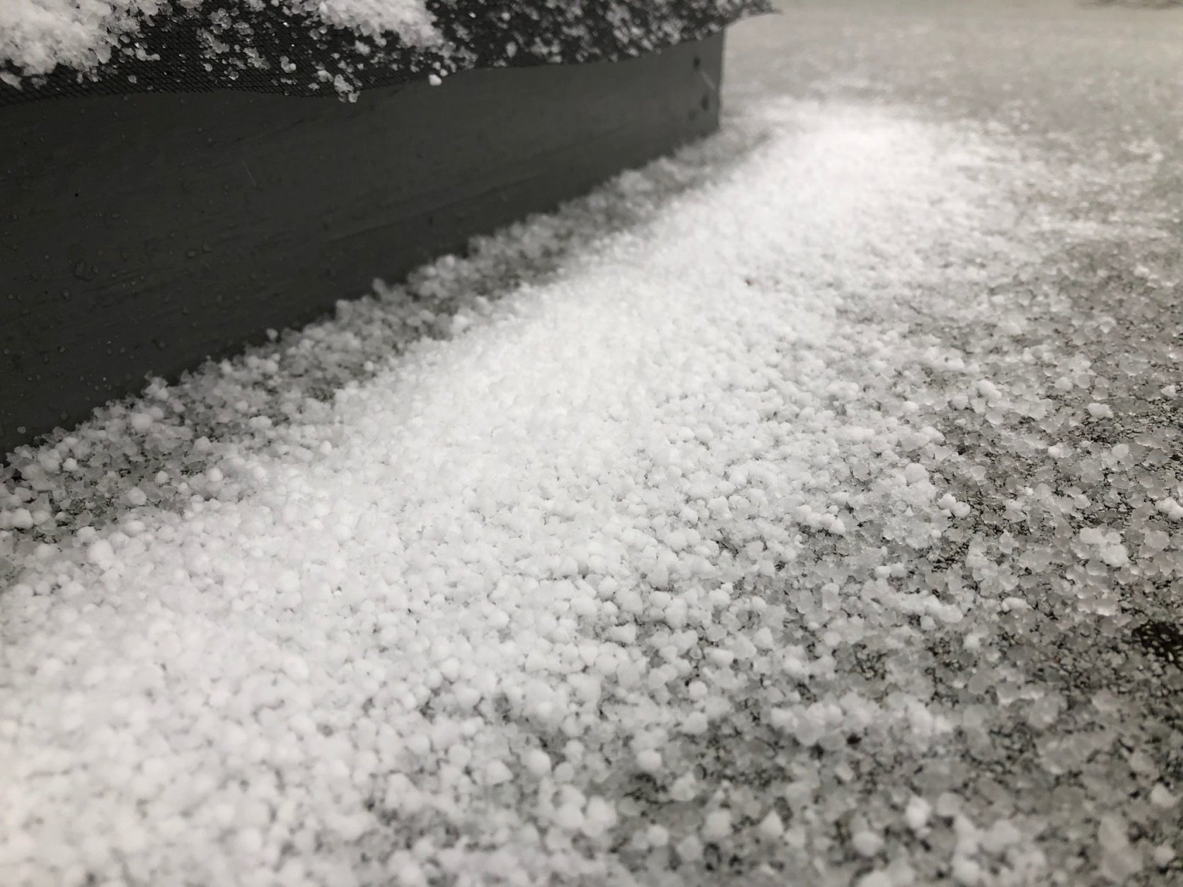
A steady fall of flurries were visible in Northwest D.C. Wednesday afternoon, and Storm Team4 Meteorologist Matt Ritter said the precipitation was something of a mix in other parts of the D.C. area.
Strike that. It’s suddenly #graupel in Vienna. This is an unstable atmosphere for sure. https://t.co/SXjpzwEtqR
— Met. Matt Ritter (@MetMattRitter) January 9, 2019
Scattered showers was in the forecast for the area overnight, with a wintry mix in spots. Surface temperatures were warm, so there was no freezing on the wet roadways.
The blustery conditions during Wednesday’s evening commute, with wind chills in the 20s and 30s, will persist into Thursday as well, and could dip into the teens, Storm Team4 meteorologist Amelia Draper said.
#SNOW showers continue to move through the region. It won’t amount to much, but it is coming down pretty good in spots for 20 minutes or so. The #COLD is what moves in next and then the #SNOW for the weekend pic.twitter.com/pa7xQX1zk2
— Doug Kammerer (@dougkammerer) January 9, 2019
Drier conditions on Thursday and Friday, but be prepared on Saturday: “Snow will be likely Saturday night through at least noon on Sunday, and accumulations are highly likely,” said Storm Team4 meteorologist Chuck Bell.
How much? “A solid” 3-6 inches appears likely for much of the area, Bell said on Wednesday. He cautions that this is still not set in stone, so stick with WTOP as the experts get a better of idea of what to expect.
The forecast
Thursday: Partly cloudy, windy and cold. Highs in the 30s; wind chills in the 20s.
Friday: Mostly sunny, breezy and cold. Highs in the mid- to high 30s.
Saturday: Cloudy, with a chance of snow by evening. Highs in the mid 30s.


