
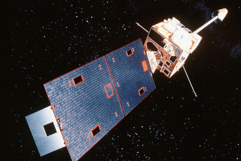
A key National Oceanic and Atmospheric Administration weather satellite that watches the eastern U.S. and the Atlantic Ocean is back online after an outage Thursday that lasted nearly the entire day, giving meteorologists a reminder of how much modern forecasting depends on satellites.
GOES-19, also known as GOES East, entered what’s known as safe hold mode, a protective setting that temporarily shut down its Earth-observing mission. University of Maryland atmospheric scientist Lars Peter Riishojgaard said safe hold is essentially a survival mode that satellites use when something unexpected occurs.
“It enters a survival mode where everything that is not needed for its immediate survival is turned off,” Riishojgaard said.
The satellite continuously monitors the eastern U.S. and Atlantic Ocean, helping forecasters track hurricanes, thunderstorms, wildfire smoke and moisture moving through the atmosphere. Riishojgaard said it provides updated imagery about every 10 minutes, giving meteorologists a constant picture of what’s happening across a large section of the globe.
When the satellite stopped providing data, forecasters temporarily lost an important tool used to monitor quickly changing weather conditions.
“And once the images are off, they’re off. You can’t see anything in it,” Riishojgaard said.
WTOP Meteorologist Mike Stinneford said the loss of GOES-19 data had immediate local impacts.
“We have been flying blind here, and even locally, these impacts have been felt with the loss of the satellite, which, fortunately, is getting ready to come back online,” Stinneford said.
One of the biggest challenges was losing the ability to closely monitor moisture moving into the region, Stinneford said, information that helps forecasters gauge humidity, heat and thunderstorm potential.
“What we didn’t know overnight is that suddenly winds brought more moisture into the region,” Stinneford said.
The increase in moisture helped push heat index values above 105 degrees, prompting the National Weather Service to first issue a heat advisory and then expand it to cover the entire region, he said.
Both Stinneford and Riishojgaard noted the D.C. area was somewhat fortunate that the outage occurred during a relatively quiet stretch of weather. Riishojgaard said areas dealing with more active weather, such as heavy rainfall or severe storms, could have felt a greater impact.
While the outage did not lead to major forecasting problems in the D.C. area, Riishojgaard said it demonstrated both the importance of the nation’s weather satellites and the redundancy built into the system. NOAA maintains backup satellites that can be activated if necessary.
“If they had not been able to resolve this situation relatively quickly, they would have turned on the backup,” Riishojgaard said.
Riishojgaard said the outage actually highlighted a strength of the weather satellite network. The satellite entered safe hold, recovered and returned to service in less than 24 hours.
Still, he said the outage underscored how reliant modern forecasting has become on satellite imagery.
“We are completely relying on these images,” Riishojgaard said.
It remains unclear what led to the satellite going into the protective mode.
Get breaking news and daily headlines delivered to your email inbox by signing up here.
© 2026 WTOP. All Rights Reserved. This website is not intended for users located within the European Economic Area.