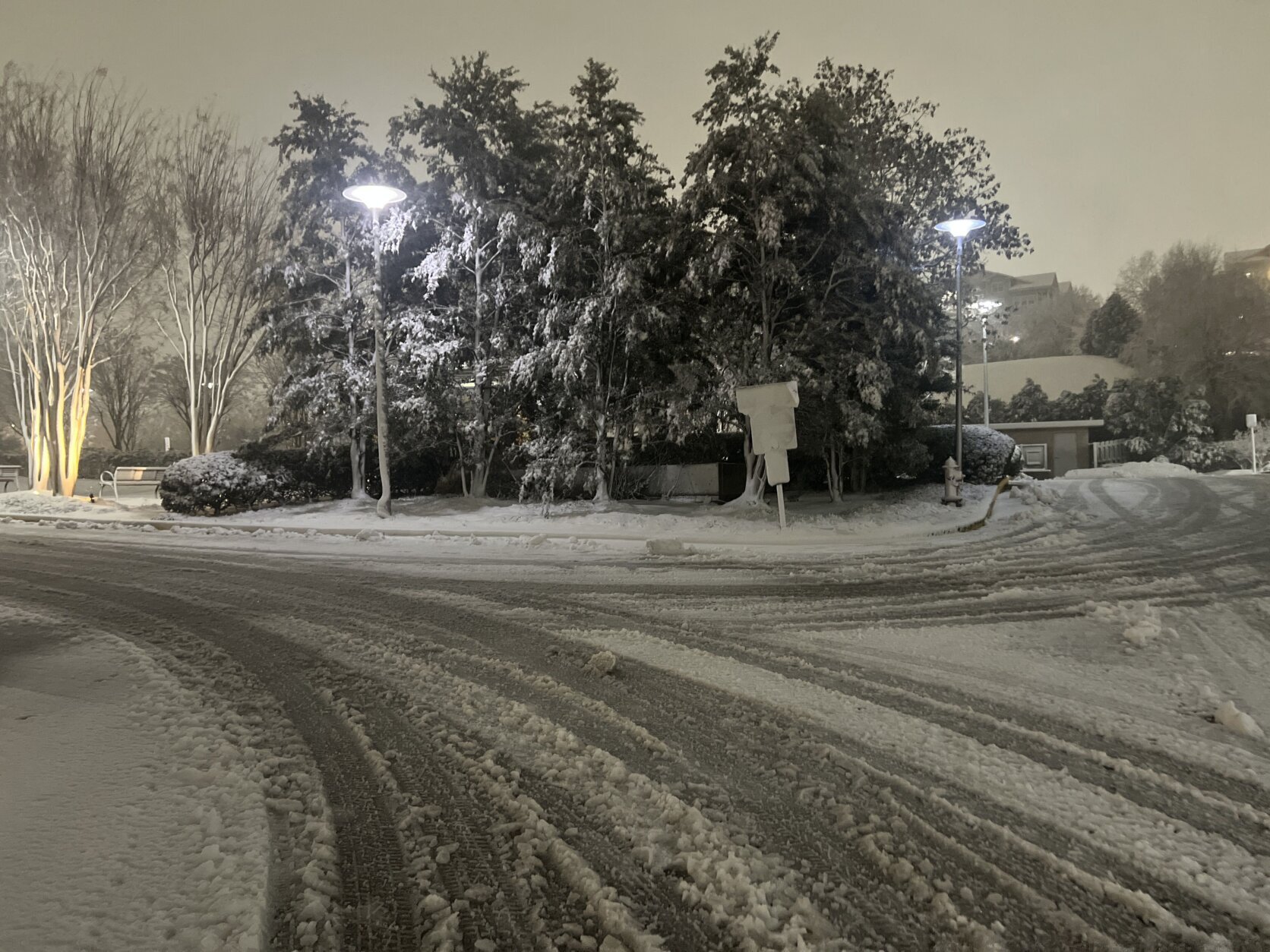
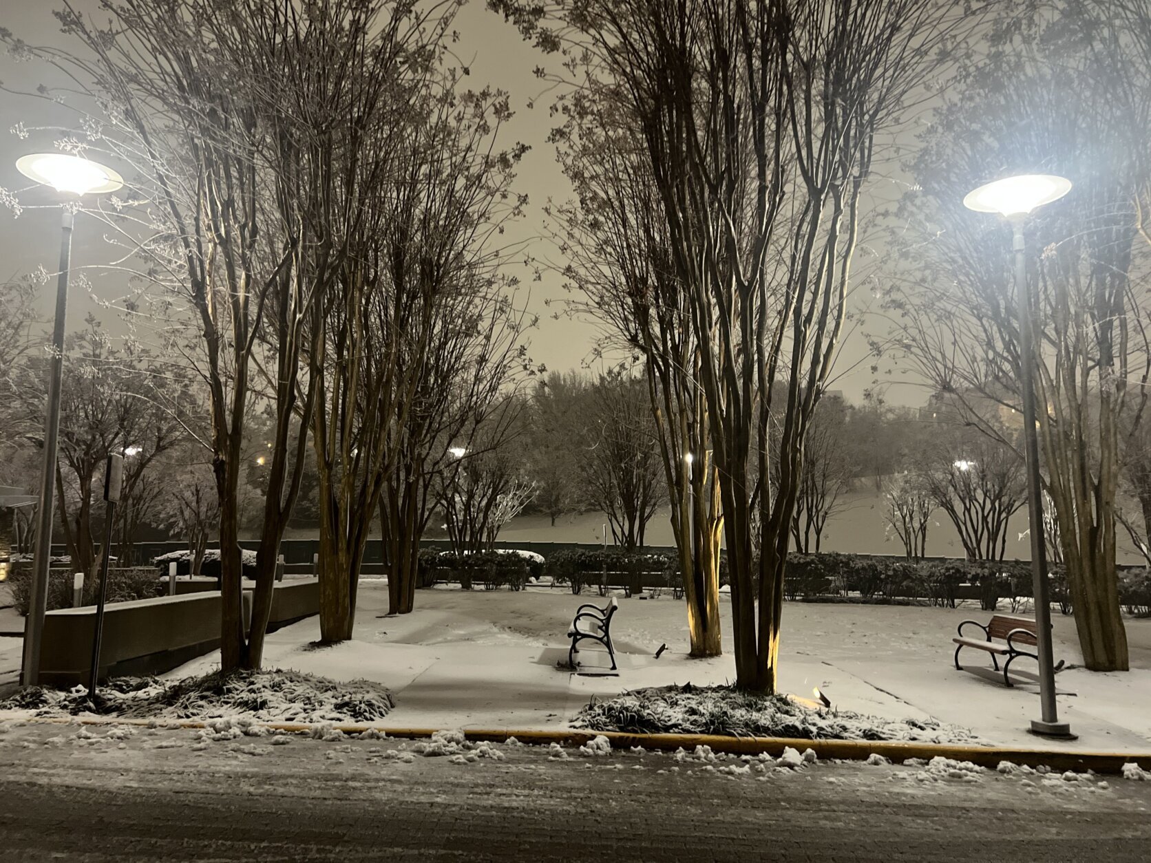
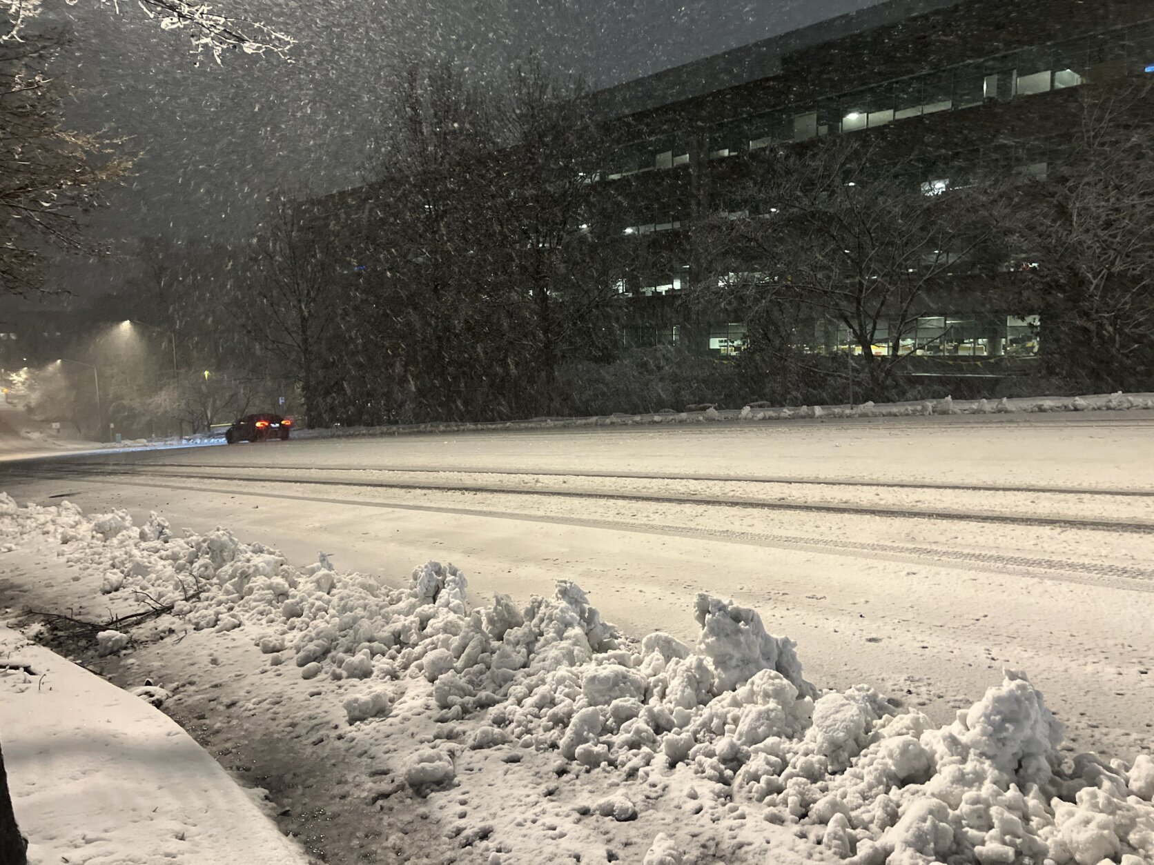


Heavy snow is officially impacting the D.C region as forecasters warn of possible blizzards conditions east of Interstate 95.
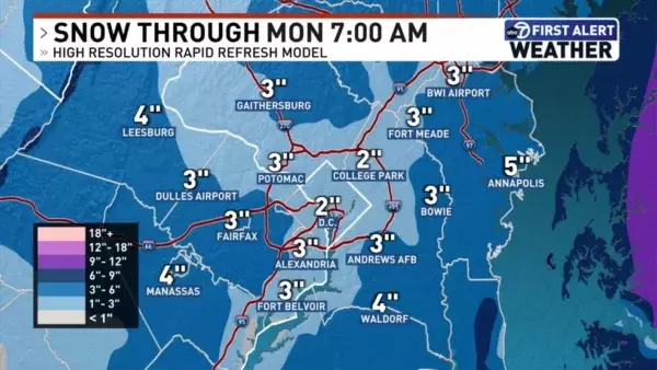
Parts of the D.C. area could see snow total accumulations anywhere between 2 to 6 inches after much of the region saw their Sunday start with rainy conditions.
2.1 inches of snow have fallen so far in Loudoun County, 1.2 inches in Fairfax County, 1.3 inches in Gaithersburg, and 1 inch in Potomac, Maryland.
WTOP Meteorologist Mike Stinneford said the heaviest snow will be expected in the evening hours and will taper off after midnight.
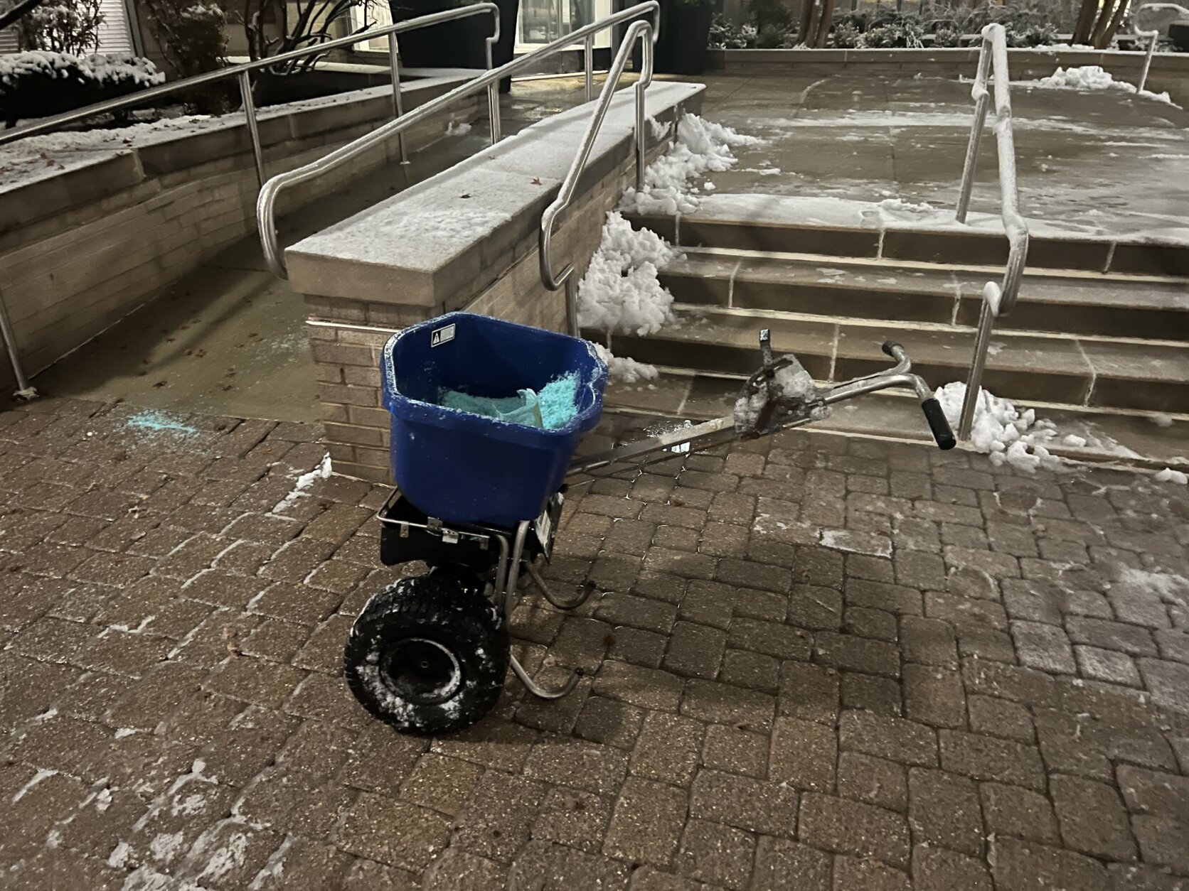
Maryland has declared a state of emergency, authorizing snow removal protocols for roads and shifting to storm management practices, and emergency protocols are in place for Montgomery and Prince George’s counties.
- Listen to WTOP online and on the radio at 103.5 FM or 107.7 FM.
- Current traffic conditions
- Weather forecast
- Closings and Delays: DC-area schools make decisions for Monday instruction
- Sign up for WTOP email alerts
- Get custom alerts with the WTOP app for Apple and Android phones
Stinneford said it is possible that some areas can see upwards of 6 inches of snow where heavier snow bands develop.
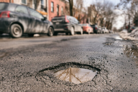
As snowfall can also lead to slick road conditions, drivers are being urged stay home or be cautious if they must be out.
“We will start to see snow accumulating on area roadways as snow becomes moderate to heavy at times,” said Stinneford. “It’s time to get off the roads.”
Conditions will improve Monday, as temperatures will rise and lead to snow melt. However, concerns are being raising about the potential for freezing come Monday night.
Tuesday and Wednesday will be quiet weather days, as the rain returns Thursday.
DC
The District said salt treatment of major roadways started at 12 p.m. Sunday. The city had issued a cold alert Saturday night, which prompted the opening of hypothermia shelters.
MARYLAND
Gov. Wes Moore declared a State of Preparedness, urging residents to avoid unnecessary travel, and prepare for potential power outages.
Montgomery County
A Winter Storm Warning will be in effect from 3 p.m. Sunday through 10 a.m. Monday. Crews with the county’s Department of Transportation will mobilize at noon. Free parking will be available in county garages through at least noon Monday.
Prince George’s County
The county said pretreatment of roadways will begin Sunday, as conditions allow. Residents are urged to park in driveways or on the even-numbered side of the streets. It said TheBus will not run on Sunday.
VIRGINIA
Virginia Department of Transportation spokesman Alex Liggitt told WTOP that crews are holding off on pretreating the roads because rain could wash away those efforts: “Stay home if you can on Sunday and allow us to get out there and do our job to try to get these roads cleared as quickly as possible.”
FORECAST
TONIGHT: Snow, moderate to heavy at times. Total accumulations of 2 to 5 inches. Localized amounts over 6 inches are possible where heavier snow bands develop. Snow will taper off to flurries after midnight. Lows in the lower 30s
MONDAY: Becoming partly sunny. Windy. Highs upper 30s to lower 40s
TUESDAY: Partly sunny with a high near 40
WEDNESDAY: Increasing cloudiness. Warmer. Highs upper 40s to lower 50s
THURSDAY: Rain developing with highs in the 40s
CURRENT CONDITIONS
Get breaking news and daily headlines delivered to your email inbox by signing up here.
© 2026 WTOP. All Rights Reserved. This website is not intended for users located within the European Economic Area.