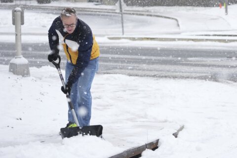
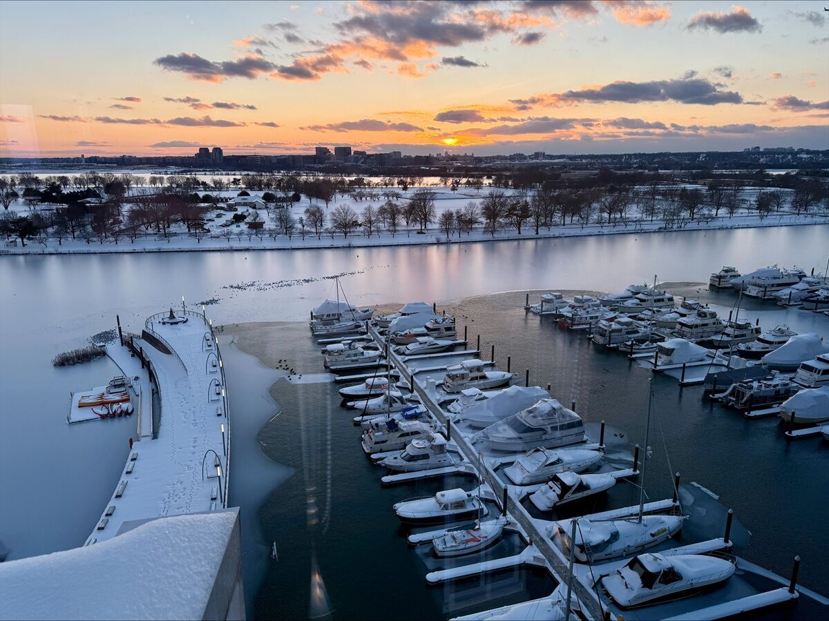
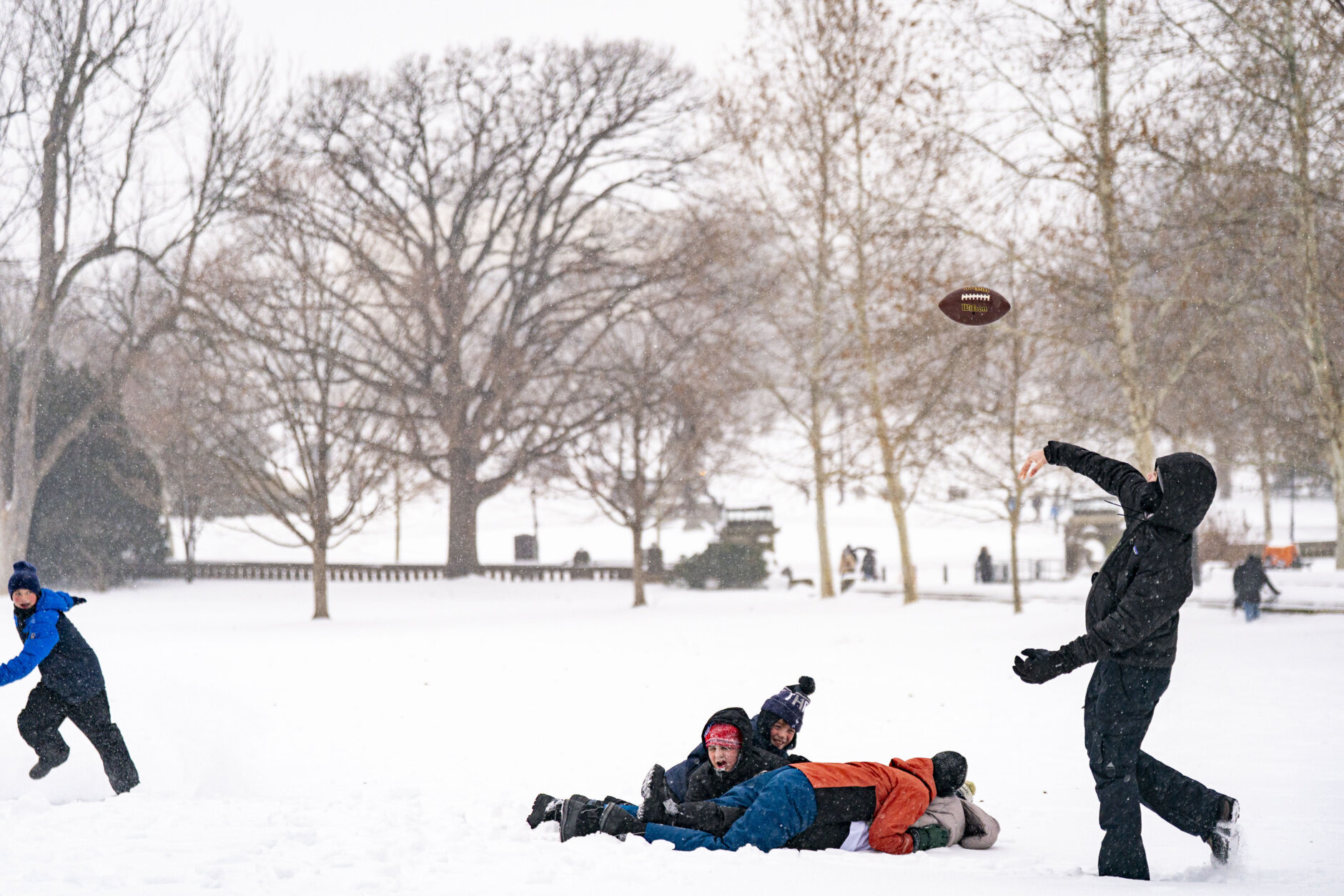
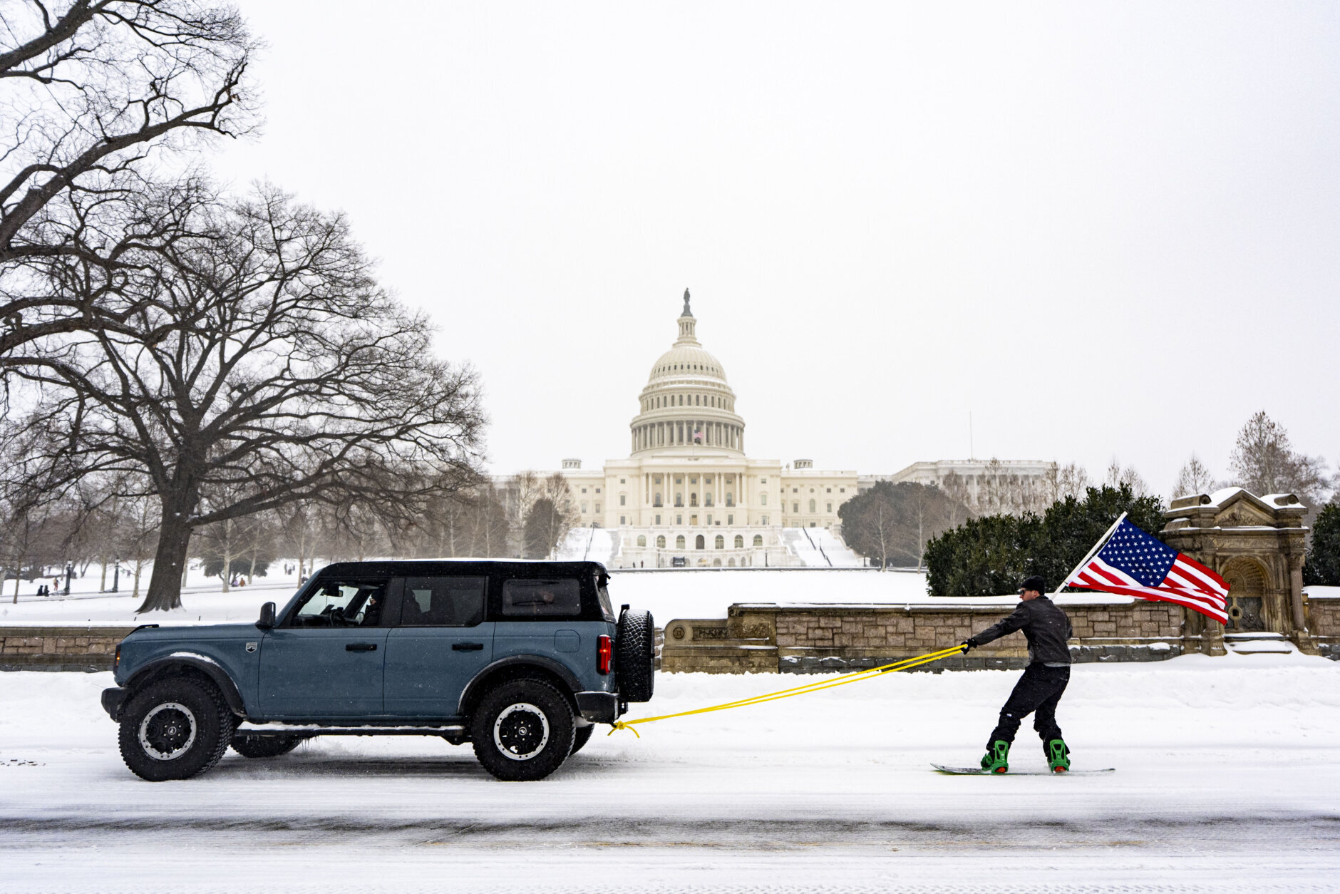
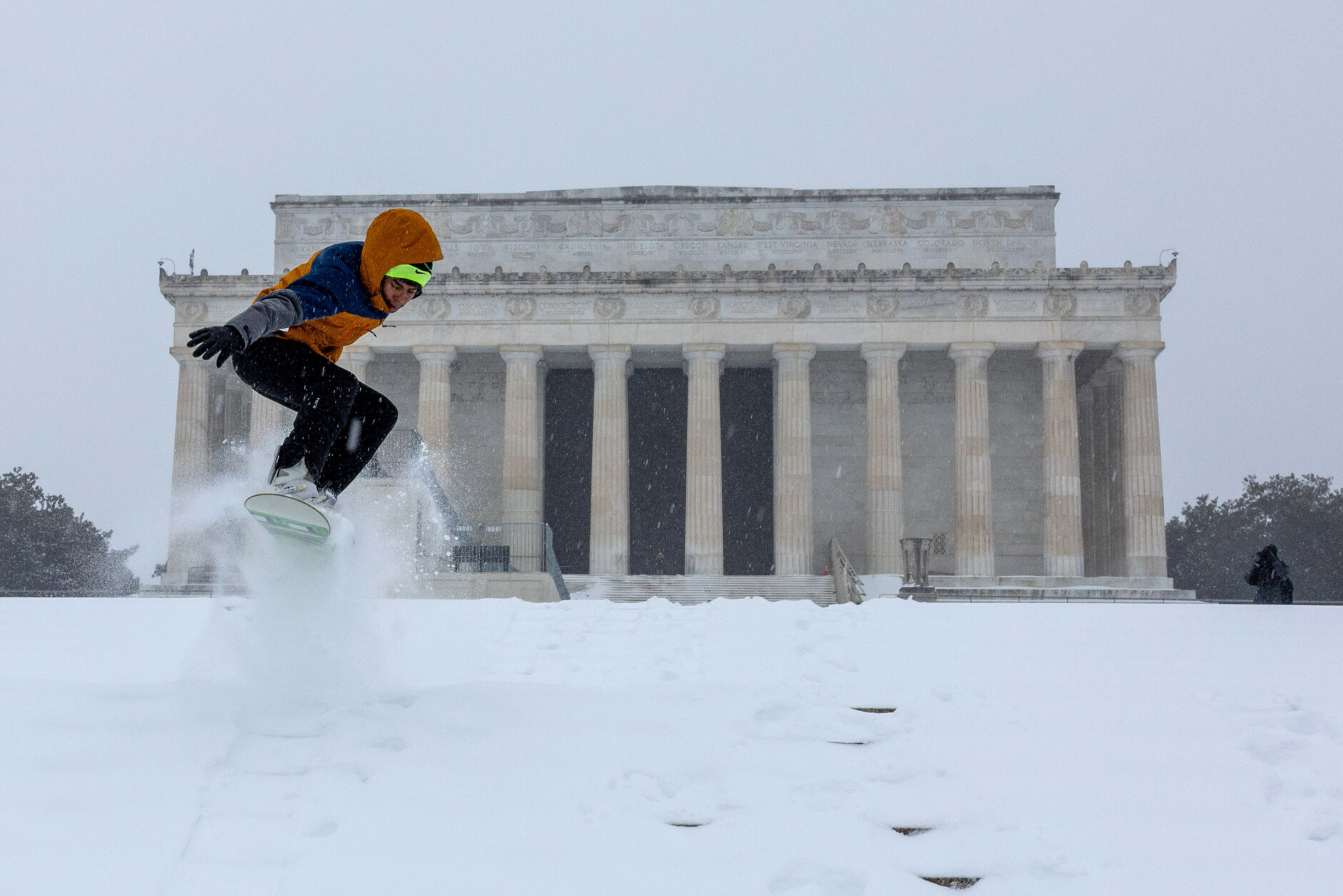
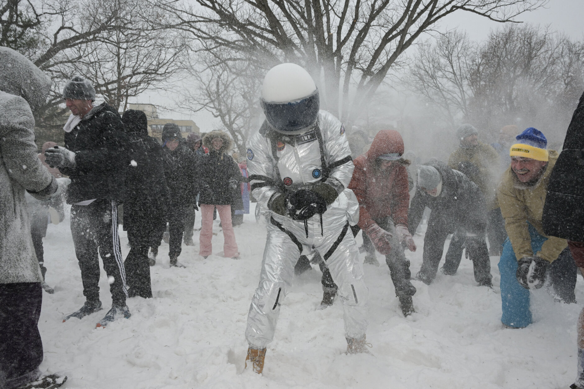
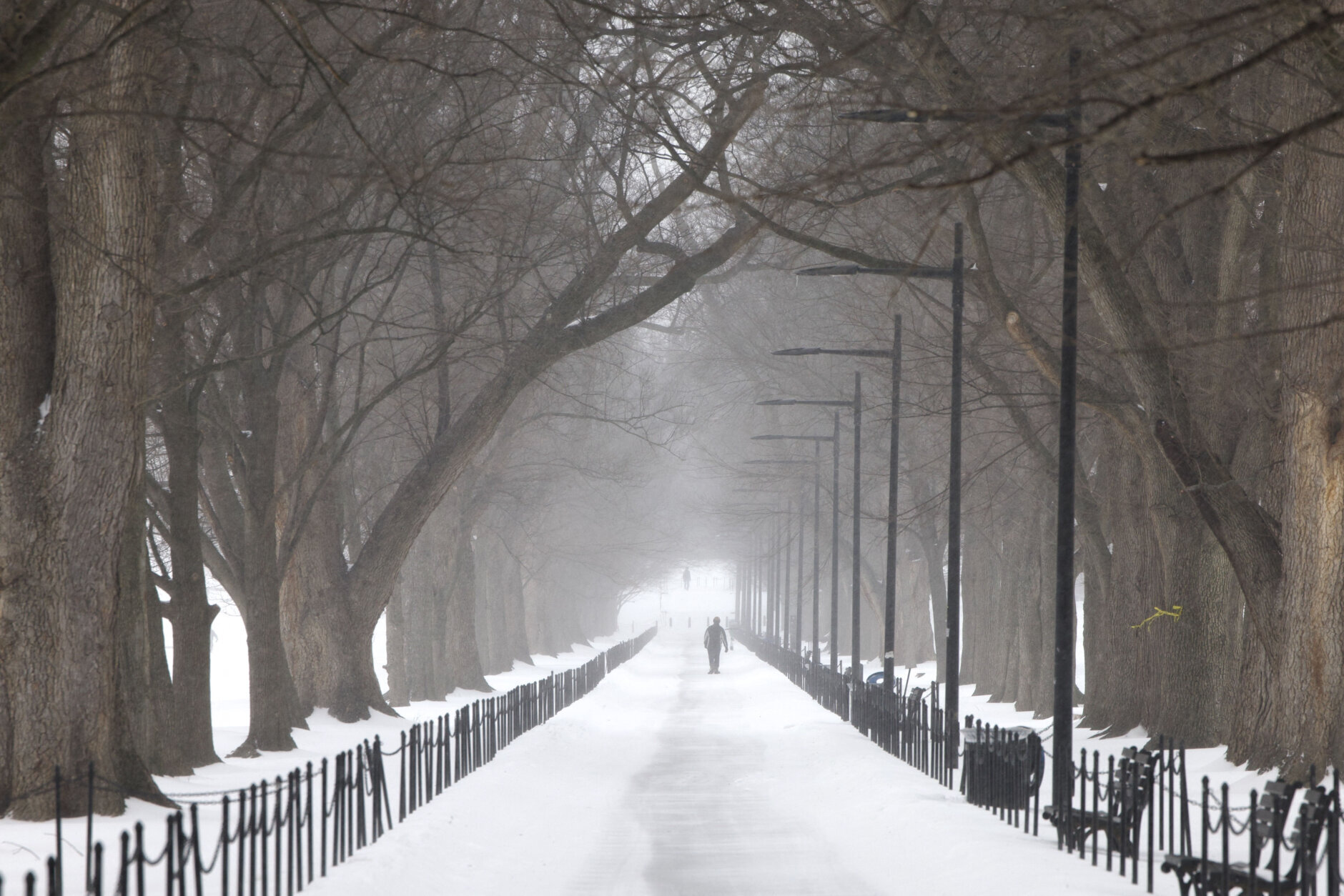
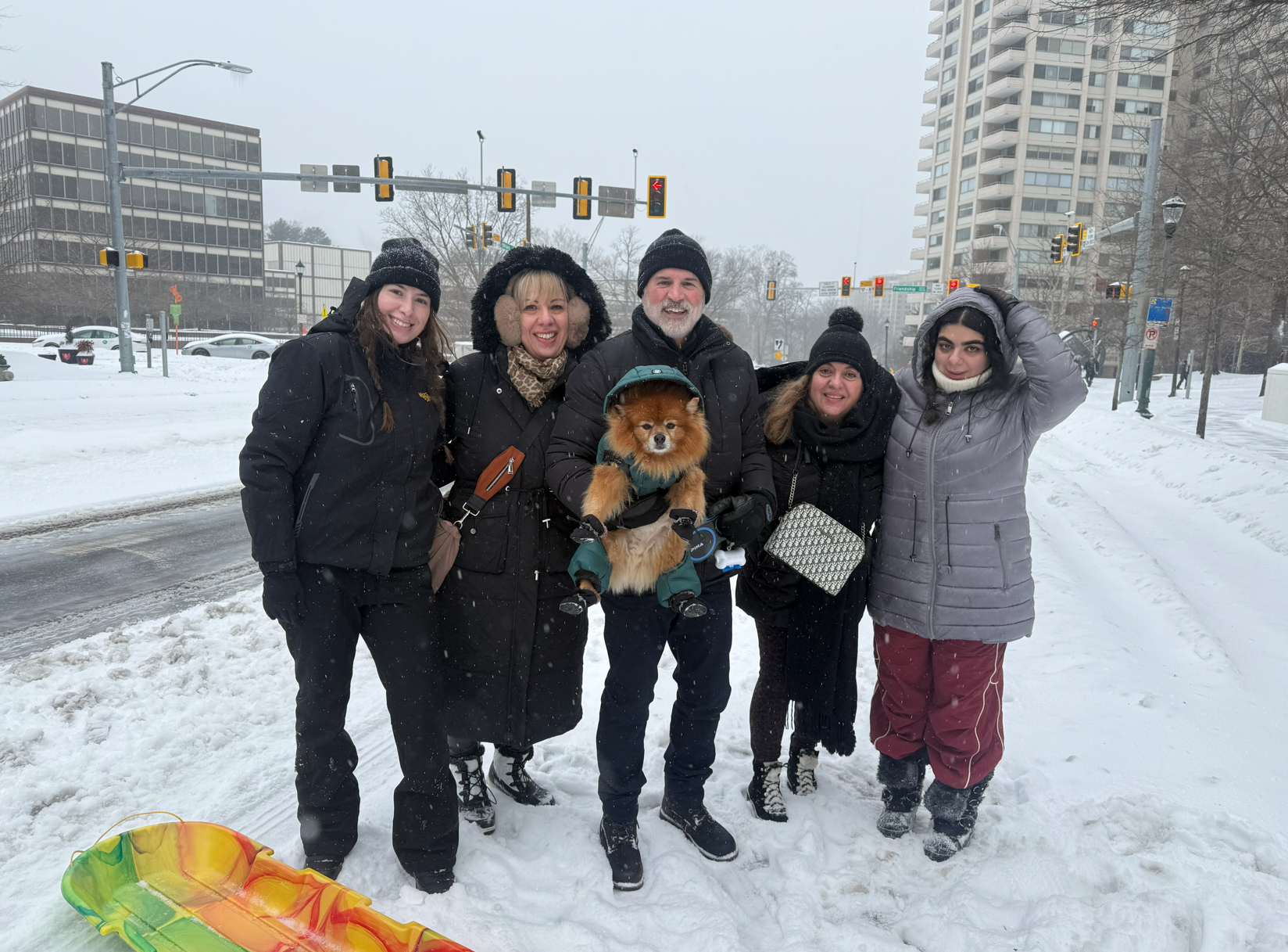
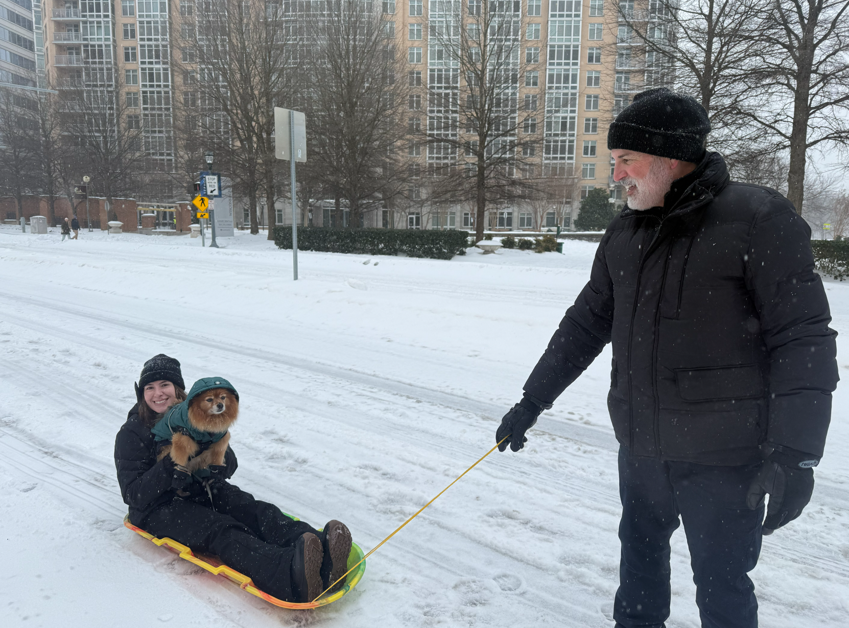
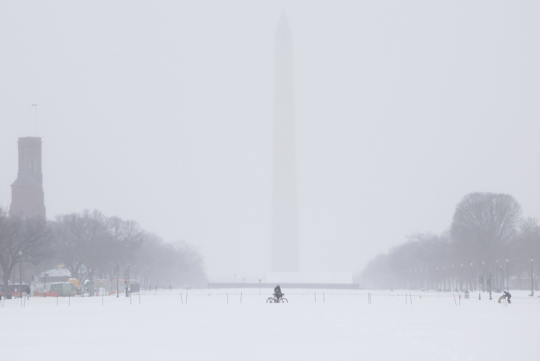
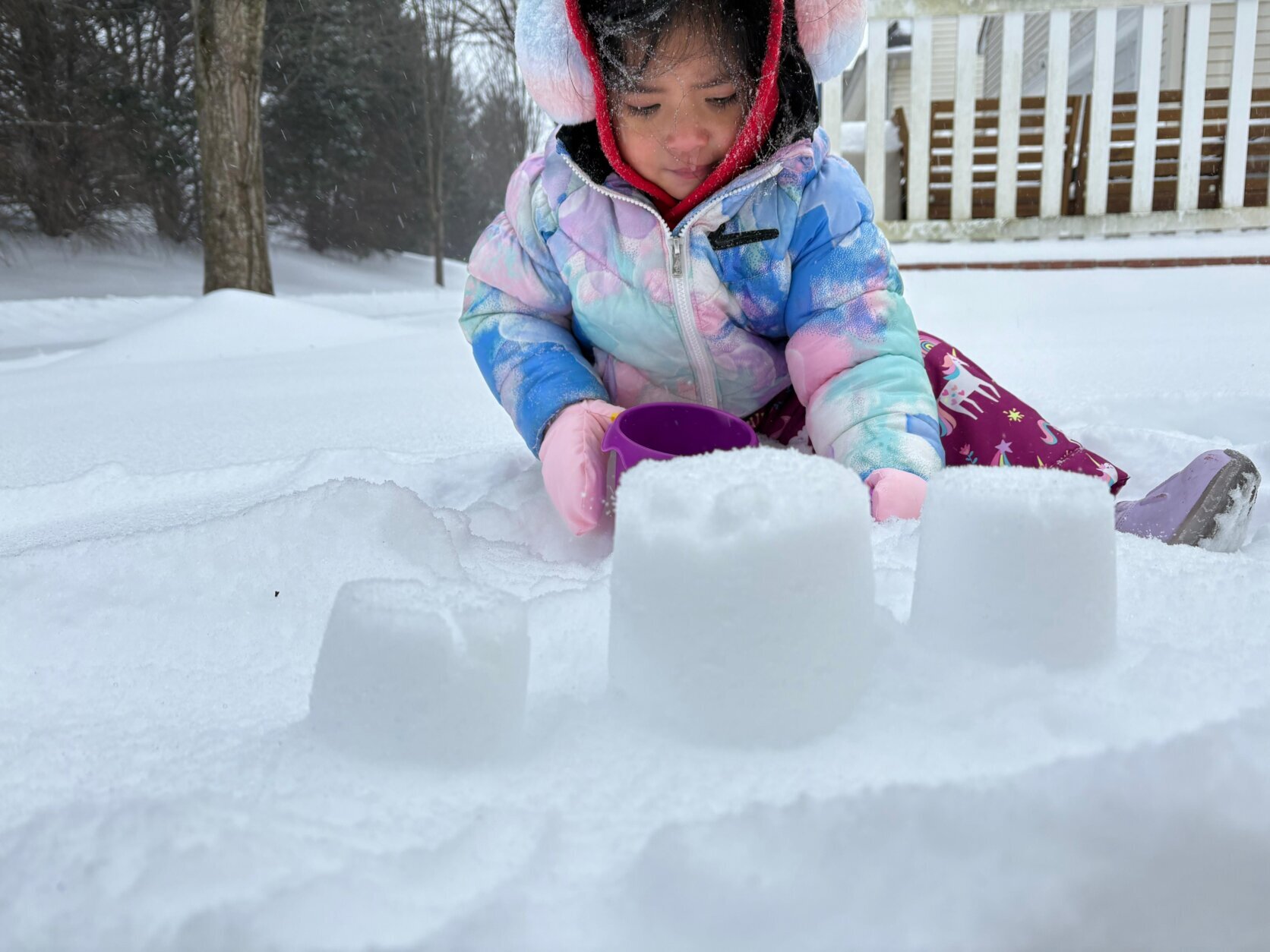
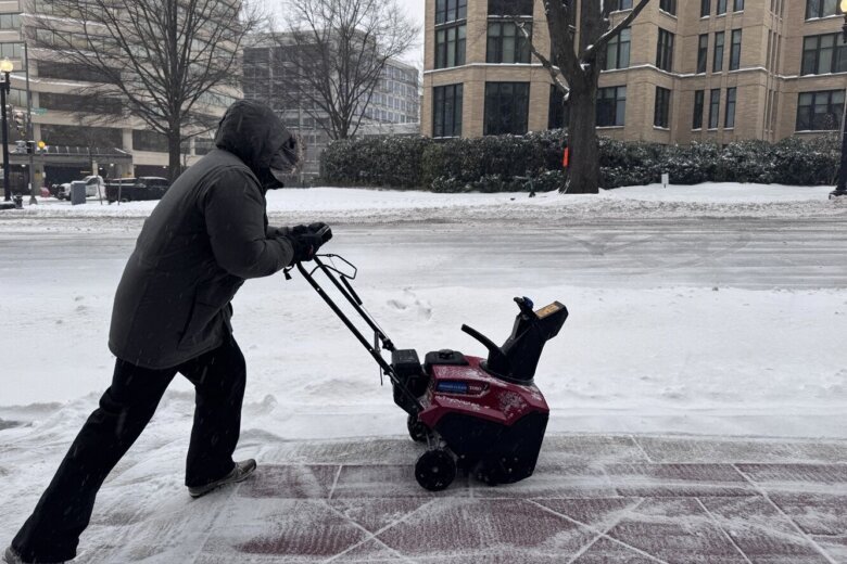
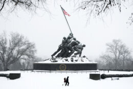
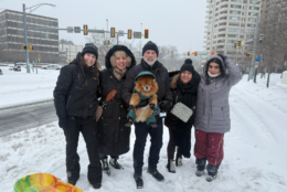
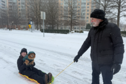
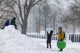
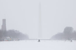
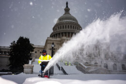
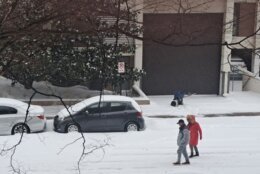
While this weekend’s winter storm may not be remembered for the amount of snow it brought to the D.C. region, it will be remembered for the ice.
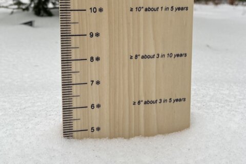
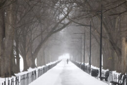
Snow transitioned to sleet Sunday morning, and according to the National Weather Service, snow totals topped out around 9 inches in the D.C. area, with most places seeing between 5 and 6 inches of snow accumulation. See a more complete list of snow totals across the region here.
Certain spots saw 3 or more inches of sleet on top of that snow, which was pretty unusual.
“Sleet is a common form of wintry precipitation, but extended periods of heavy sleet are pretty rare,” WTOP’s Dave Dildine said. “One of the only times it’s happened this century locally was Valentine’s Day, 2007, when a few inches of sleet fell.”
Temperatures Sunday afternoon was sitting well below freezing — around 20 degrees in most places. So why was it sleet and not snow?
“Usually, we stay all snow when it’s this cold. What happened was the warm air aloft melted the snowflakes into rain drops, and when they got close to the ground, they froze into ice pellets before they reached the ground making sleet.” WTOP meteorologist Matt Ritter said.
- Listen to WTOP online and on the radio at 103.5 FM or 107.7 FM.
- Current traffic conditions
- Weather forecast
- Closings and Delays
- Sign up for WTOP email alerts
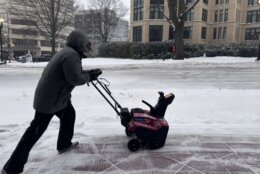
And that sleet piled up Sunday, compacting the snow beneath the layer of ice pellets. Ritter said he saw reports of 2 to 3 inches of pure sleet on top of the 4 to 8 inches of snow that fell Sunday morning.
There is the potential for sleet to transition to freezing rain in some places Sunday night, which would bring a heightened risk for power outages and worsening driving conditions.
All the precipitation should end by 10 p.m. Sunday, Ritter said, but the storm’s impacts last far beyond that time.
“A lot of this is just going to freeze, as if it were going to be solid rock, making it even more difficult to clean up. And we’re not going to be above the freezing point again for at least a week. This cold weather’s going to stick around for days and days,” Ritter said.
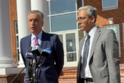
Virginia Gov. Abigail Spanberger told WTOP the state is seeing an increase in emergency room visits due to hypothermia and cold exposure, as well as carbon monoxide exposure.
The latter is “concerning,” as more people attempt to use their generators at home to stay warm. And those concerns aren’t going anywhere, with bitter cold temperatures in the forecast for the rest of January.
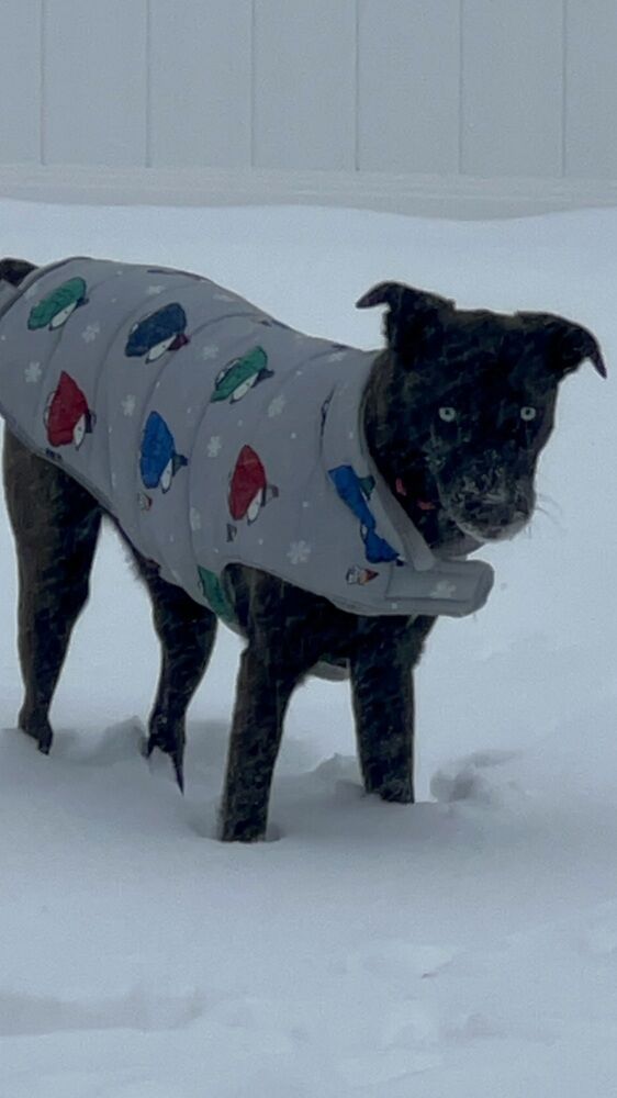
Those same cold risks apply to pets, and veterinarian Sophie Kindberg-Hanlon told WTOP to be mindful of chemicals, such as antifreeze and ice melt, that could be present when taking your pet on walks in the snow.
“They can really hurt feet, and certainly cause gastrointestinal upset if pets lick them off,” she said.
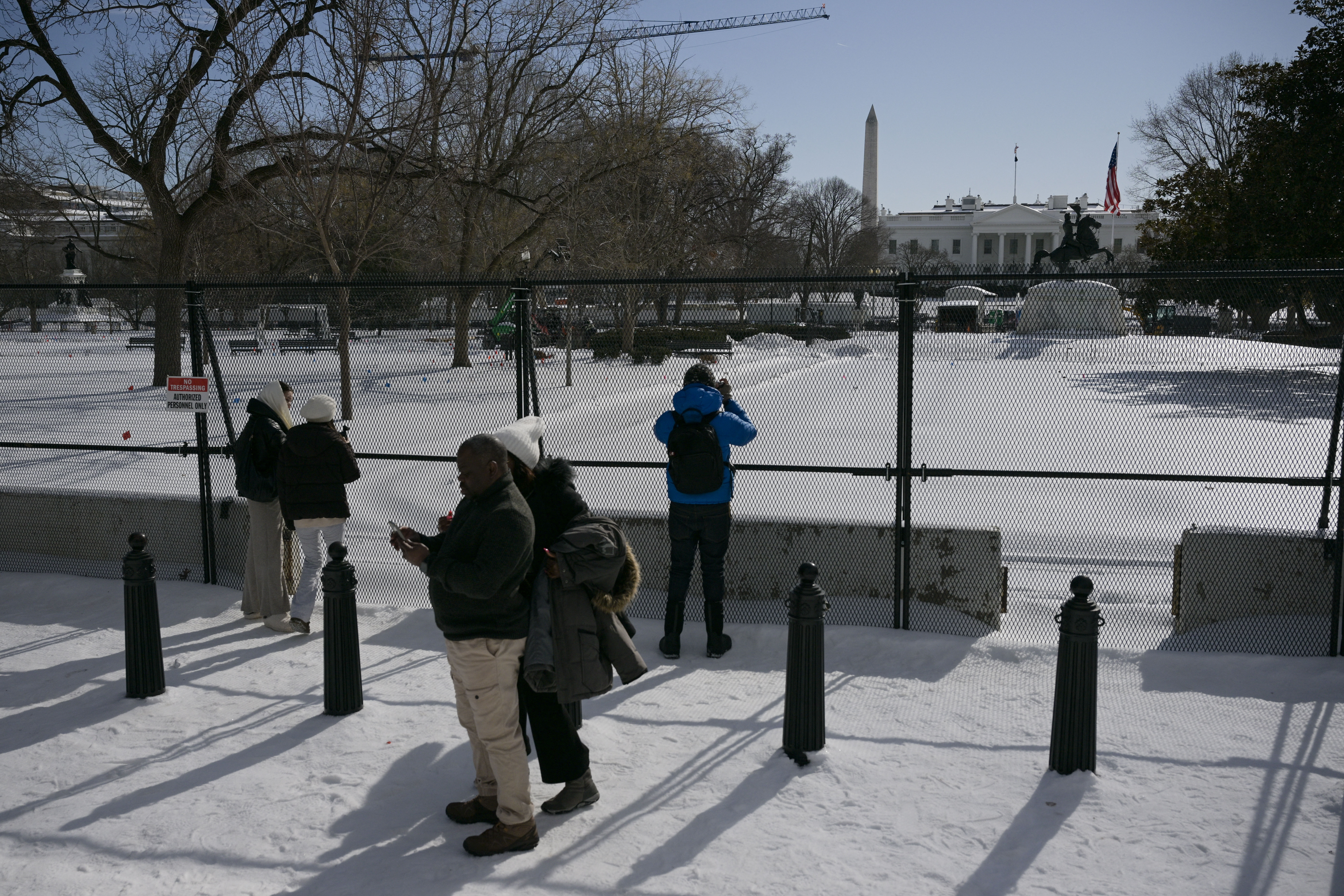
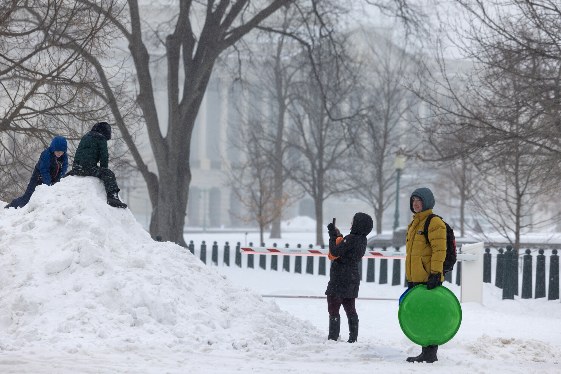
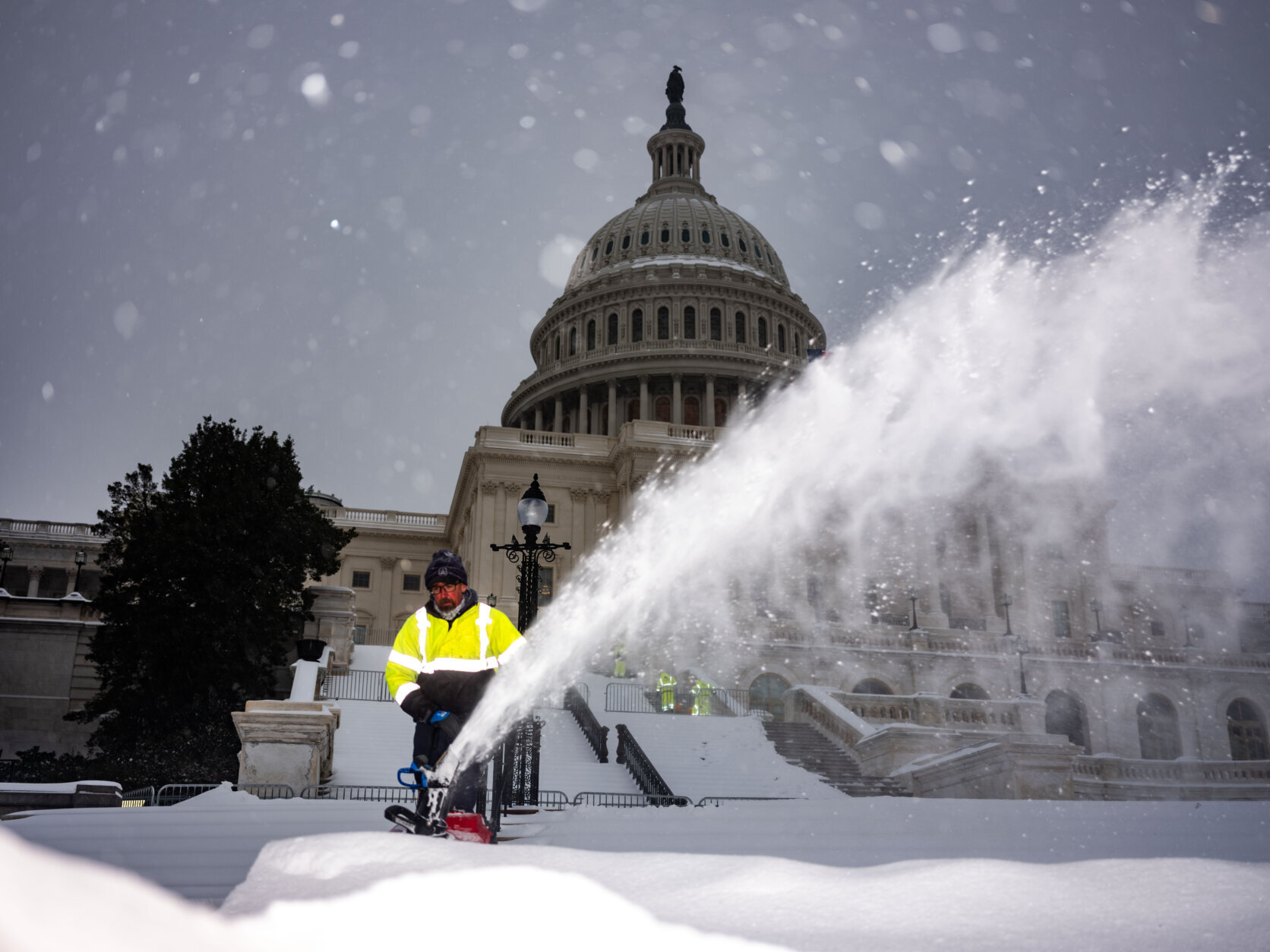
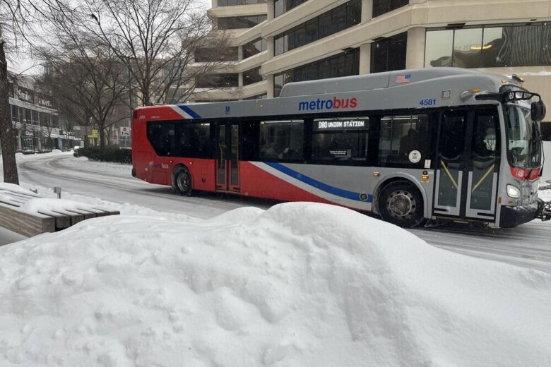
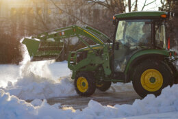
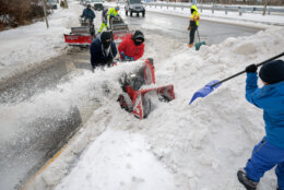
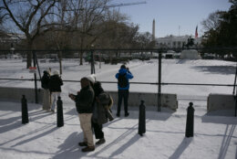
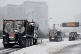
Storm’s impacts across DC region
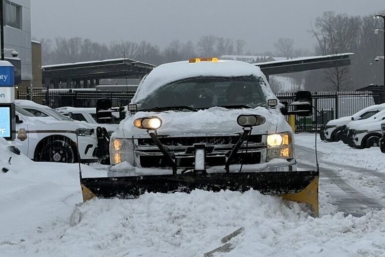
Local leaders from Virginia and Maryland told WTOP those who live on side streets may not see plows come through for a while.
Alexandria Mayor Alyia Gaskins said her team is looking at a concerning potential bout of freezing rain Sunday night.


“If that is the case, then we’re going to have to keep focusing on the primary roads before we can get to any side streets. If that’s not the case then we might be able to start getting into neighborhoods much sooner. But we’ll have a better, I think, estimate probably by early morning on Monday,” she said.
In Maryland, Montgomery County Executive Marc Elrich said once crews do get to side streets, there will be additional challenges.
“We’re focused on the main arteries right now,” Elrich said. “They’re going to have a coating of ice on many of the streets by the time we get there. That’s going to make it more difficult, for sure.”
While there aren’t reports of power outages yet in the D.C. region, officials with Pepco and Dominion Energy are warning that’s a possibility, especially if sleet turns to freezing rain in certain areas Sunday evening.
Read about how to prepare and how utility companies are planning to respond to potential outages here.
School systems call it early, cancel classes Monday
A slew of school systems, including those in Arlington, Fairfax and Prince William counties in Virginia and Anne Arundel County in Maryland, announced early in the day Sunday operational changes for Monday.
Some school closings for Tuesday were also announced Sunday, with Maryland’s Montgomery County Public Schools being among the first to make the call to cancel classes two days in advance.
Meanwhile, maximum telework is in effect Monday for federal government workers, and those who can’t telework will be granted weather and safety leave.
See the full list of closings and delays here.
Full forecast
The winter storm that walloped our area is now over, and in its wake, we are going to see very cold temperatures for the next week. Our next chance for temperatures above freezing will come a week from Monday. The snow and sleet blanketing our area will be sticking around for a while.
TONIGHT: Partly cloudy and cold. Lows in the teens.
MONDAY: A mix of clouds and sunshine. Blustery and cold. Highs mid 20s to lower 30s.
TUESDAY: Mostly sunny and cold. Highs in the low to mid 20s.
WEDNESDAY: Partly cloudy with highs in the mid 20s.
Current conditions
Get breaking news and daily headlines delivered to your email inbox by signing up here.
© 2026 WTOP. All Rights Reserved. This website is not intended for users located within the European Economic Area.