This video is no longer available.
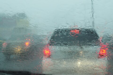
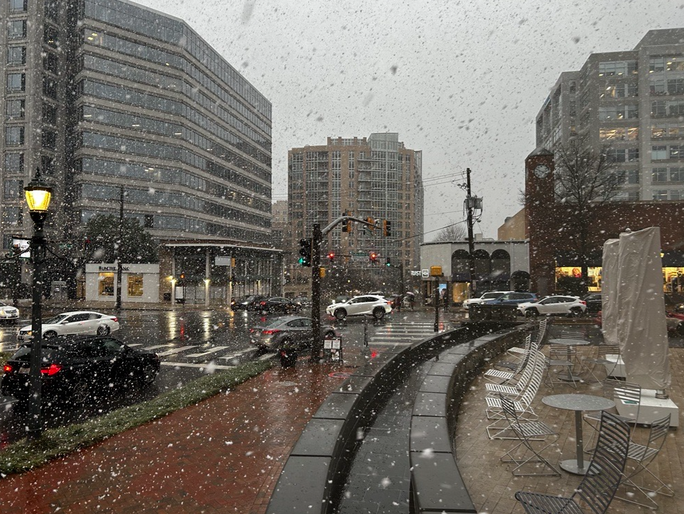
After the D.C. region got pummeled by snow squalls, which produced heavy snow, covering roads and dropping visibility drastically for those driving during rush hour on Friday, an evening freeze will keep drivers on high alert.
Friday’s blasts of snow and nighttime hard freeze come just days before what’s expected to be the D.C. area’s heaviest snowfall of the year, for which Virginia Gov. Glenn Youngkin has declared a state of emergency.
Here’s what you need to know.
The National Weather Service warned of localized bursts of heavy snow, often referred to as “snow squalls,” between 3 and 6 p.m. for much of the D.C. area. The most intense squalls battered Fairfax County in Virginia in the early portion of the afternoon rush, packing lightning and snow that brought visibility to near-zero.
“Very brief in nature, but very hazardous if you drive into one of them with the reduced visibility,” Erik Taylor, with the National Weather Service, said.
WTOP Meteorologist Mike Stinneford said snow squalls are nearly unheard-of in the D.C. area.
“I’ve been doing this since the late ’80s, early ’90s, I’ve never seen one for this area. We see a lot of them up in Pennsylvania in the Pittsburgh area and around State College, but here? No,” Stinneford said. “Blinding rates of snowfall here of 1 to 2 inches per hour, which will quickly coat roadways. Winds may gust up to 40 mph.”
While much of the precipitation was gone by Friday evening, the risk for drivers remained. Temperatures began falling below freezing between 7 and 9 p.m. Friday, according to the National Weather Service, and any standing water or slushy roads were likely to freeze.
“Overnight lows upper teens to mid-20s so any leftover slush, any standing water, that’s going to be icy and we’re already getting a lot of reports of some icy bridges and overpasses, especially across the northern and western suburbs,” Stinneford said.
7News First Alert Meteorologist Mark Peña said after the bursts of snow cleared out, skies were mostly clear.
Peña also urged residents to “plan for a cold but sunny Saturday with highs only around freezing.”
In the words of 7News First Alert Meteorologist Eileen Whelan, the cold weather will remain “locked in” this weekend, as Sunday won’t be offering much warmer weather.
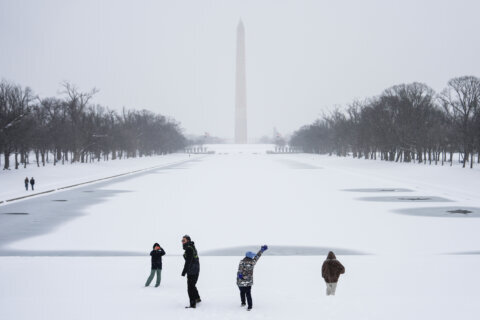
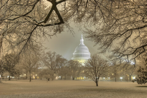
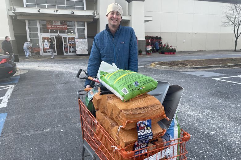
In fact, early predications indicate the region may see anywhere between 3 to 6 inches of snow from Sunday night into Monday morning for much of the D.C. area, marking the season’s first heavy snowstorm.
“The cold air will be in place and the moisture will be there as well,” Whelan said.
Ahead of Sunday night’s arriving winter weather, Virginia Gov. Glenn Youngkin has declared a state of emergency.
“I’m encouraging all Virginians, visitors, and travelers to stay alert, monitor the weather forecast, and prepare now for any potential impacts,” Youngkin said in a news release. “Given the current projected size of the storm, if your post-holiday travel plans have you leaving Sunday, I encourage you to adjust those plans to leave on Saturday. If you find yourself needing to be on the roadways, please heed any warnings and make sure you are keeping yourselves and others safe.”
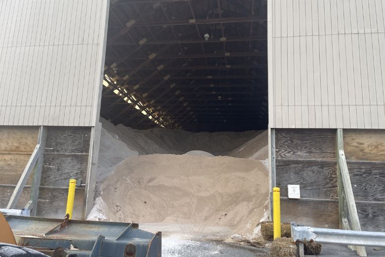
Youngkin said roads across the state are already being pretreated and crews will be ready to respond to any incidents during the storm.




- Listen to WTOP online and on the radio at 103.5 FM or 107.7 FM.
- Current traffic conditions
- Weather forecast
- Closings and Delays
- Sign up for WTOP email alerts
- Get custom alerts with the WTOP app for Apple and Android phones
FORECAST
FRIDAY NIGHT: Clearing skies and windy. Lows in the low to mid-20s
SATURDAY: Mostly sunny, windy and cold. Highs 30 to 35
SUNDAY: Sunny in the morning. Increasing cloudiness in the afternoon. Highs in the mid to upper 30s
MONDAY: Snow likely, possibly mixed with sleet. Several inches of snow possible. Highs upper 20s to lower 30s
TUESDAY: Early snow showers, then clearing, breezy and cold. Highs in the low to mid-30s
WEDNESDAY: Partly cloudy. Highs in the mid to upper 30s
CURRENT CONDITIONS
Get breaking news and daily headlines delivered to your email inbox by signing up here.
© 2025 WTOP. All Rights Reserved. This website is not intended for users located within the European Economic Area.

