Listen live online or tune in at 103.5 FM for the latest traffic and weather on the 8s.
Commuters hitting the road Thursday afternoon should brace for the potential of passing snow showers in the D.C. area. Here’s what you need to know.
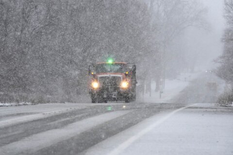
The National Weather Service warned the evening commute could be “hazardous” in the D.C. region with the possibility of scattered snow showers.
“Some neighborhoods may see a dusting, upward of a half inch while others are not going to see hardly anything at all,” 7News First Alert Meteorologist Steve Rudin said.
If the snow showers materialize, they would likely arrive around 4 p.m. on Thursday or later in the evening.
“A quick coating of snow is possible in D.C. and areas north of I-66 and Route 50,” 7News First Alert Senior Meteorologist Brian van de Graaff said.
Some of last week’s leftover snow could melt Thursday with highs in the 30s. Winds have calmed to 5-10 mph after a gusty Wednesday.
Any potential snow showers could make for icy roadways. Skies are expected to clear overnight.
Friday will be sunny with temperatures inching back into the 40s, but wintry weather could be in the forecast for the weekend.
The next chance for snow comes in on Saturday morning. A wintry mix of flurries and scattered rain is expected to transition to rain by the afternoon, Rudin said.
Snow showers are also a possibility on Sunday.
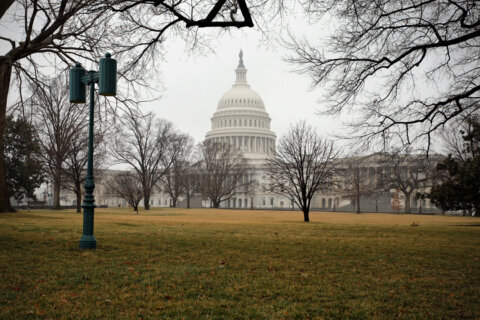
7News First Alert Chief Meteorologist Veronica Johnson added that some “near-record” cold temperatures over the long weekend should have people prepared to layer up if they plan to stand outside at the presidential inauguration on Monday.
“For folks having to stand outdoors for a long period of time, you’ll want to layer up, and that includes any thermals from top to bottom,” she said. “It will be dry, the way it’s looking now, for Monday morning, but quite cold, with temperatures in the teens, wind chills in the single digits and 25 as the high temperature for Monday.”
Snow from Sunday night will allow roads to refreeze on Monday with slick patches of ice expected on area roadways, she added.
- Listen to WTOP online and on the radio at 103.5 FM or 107.7 FM.
- Current traffic conditions
- Weather forecast
- Closings and Delays
- Sign up for WTOP alerts
Full forecast
THURSDAY NIGHT:
Gradual Clearing
Lows: 24-30
Winds: West 5-10 mph
Skies will gradually clear as winds shift from the west. Lows will mainly stay in the 20s.
FRIDAY:
Mostly Sunny
Highs: 40-45
Winds: South 3-8 mph
After a freezing cold start, plan for sunshine and milder, more seasonable, afternoon highs in the 40s. Dry weather is expected for your Friday night plans with temperatures in the 30s.
SATURDAY:
Cloudy, PM Rain Showers
Highs: 43-48
Winds: Southwest 5-10 mph
A complex weather maker will keep most of the D.C. region on the milder side with clouds and afternoon and evening rain showers.
SUNDAY:
Snow Showers Possible
Highs: 30s
Winds: Northwest 8-12 mph
As colder air filters across the Mid-Atlantic, enough moisture may be in place to bring scattered snow showers.
MLK DAY & INAUGURATION DAY:
Mostly Sunny, Windy
Highs: 23-28
Wind Chills: 8-13
Winds: Northwest 10-20, Gusts to 35 mph
Cold air won’t be in short supply to start the week. Highs will only reach the 20s on Monday with gusty winds.
CURRENT CONDITIONS
POWER OUTAGES:
Get breaking news and daily headlines delivered to your email inbox by signing up here.
© 2025 WTOP. All Rights Reserved. This website is not intended for users located within the European Economic Area.