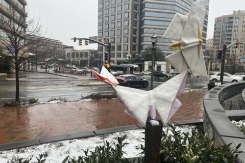
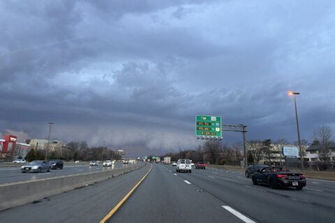
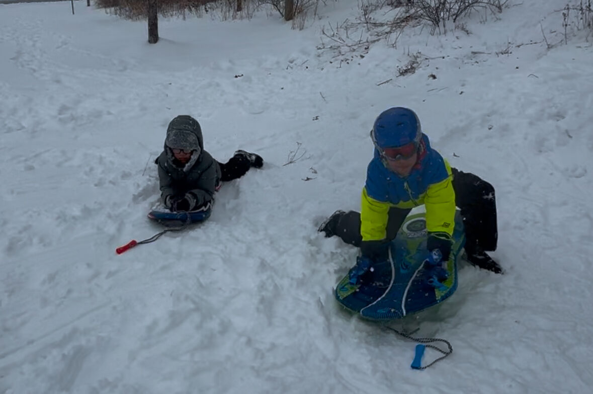
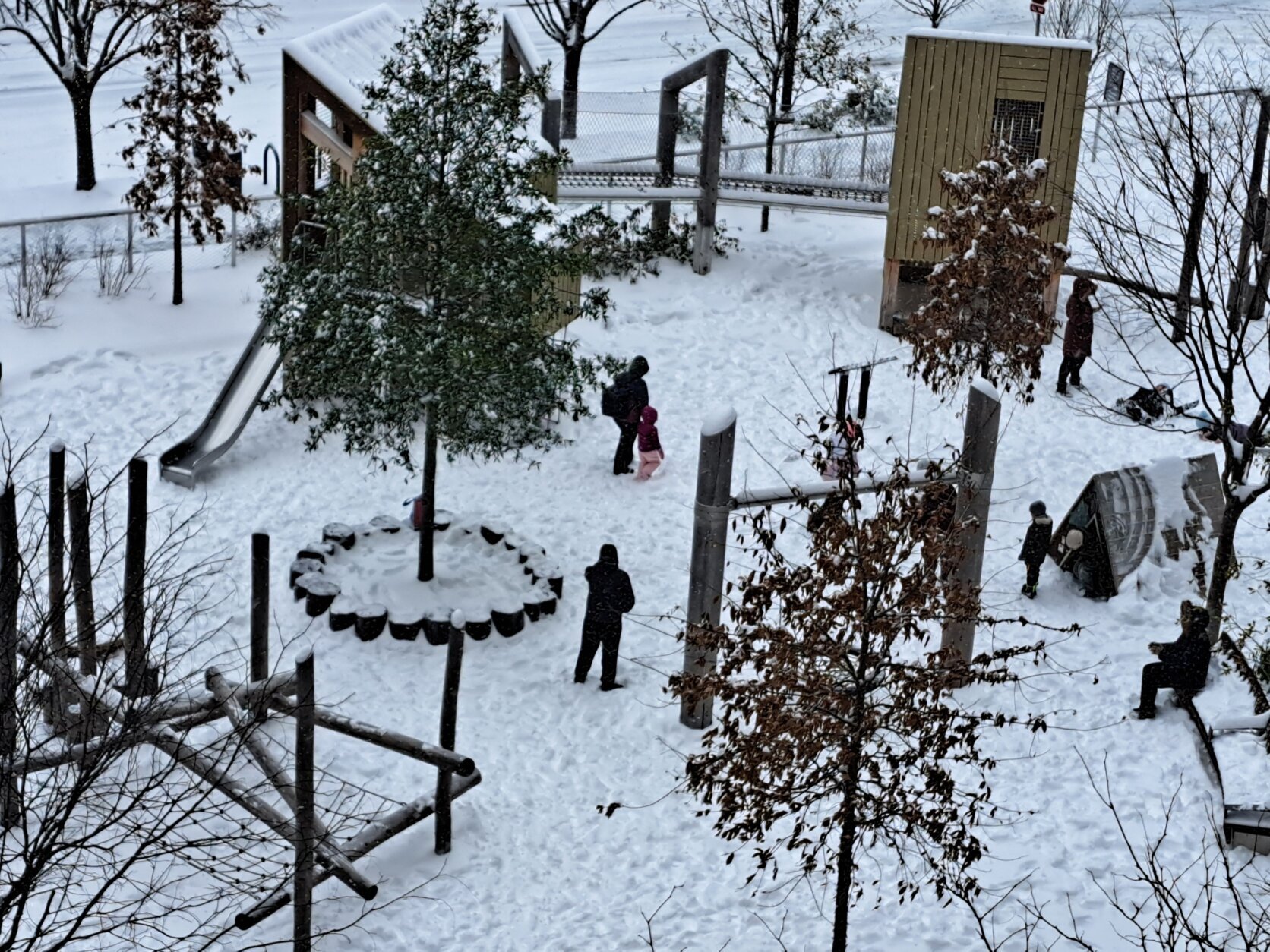
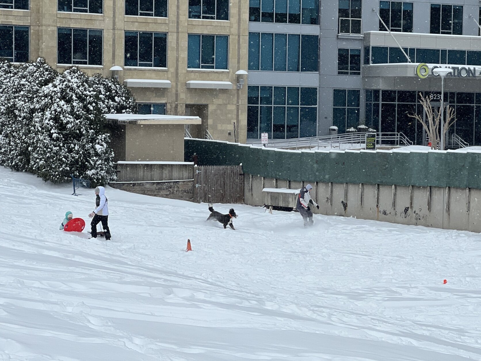
Listen live to WTOP online and on 103.5FM for traffic and weather updates on the 8s. You can share photos of the first snowfall of the year on the WTOP app or by tagging WTOP News on X, Instagram and Facebook.
This video is no longer available.
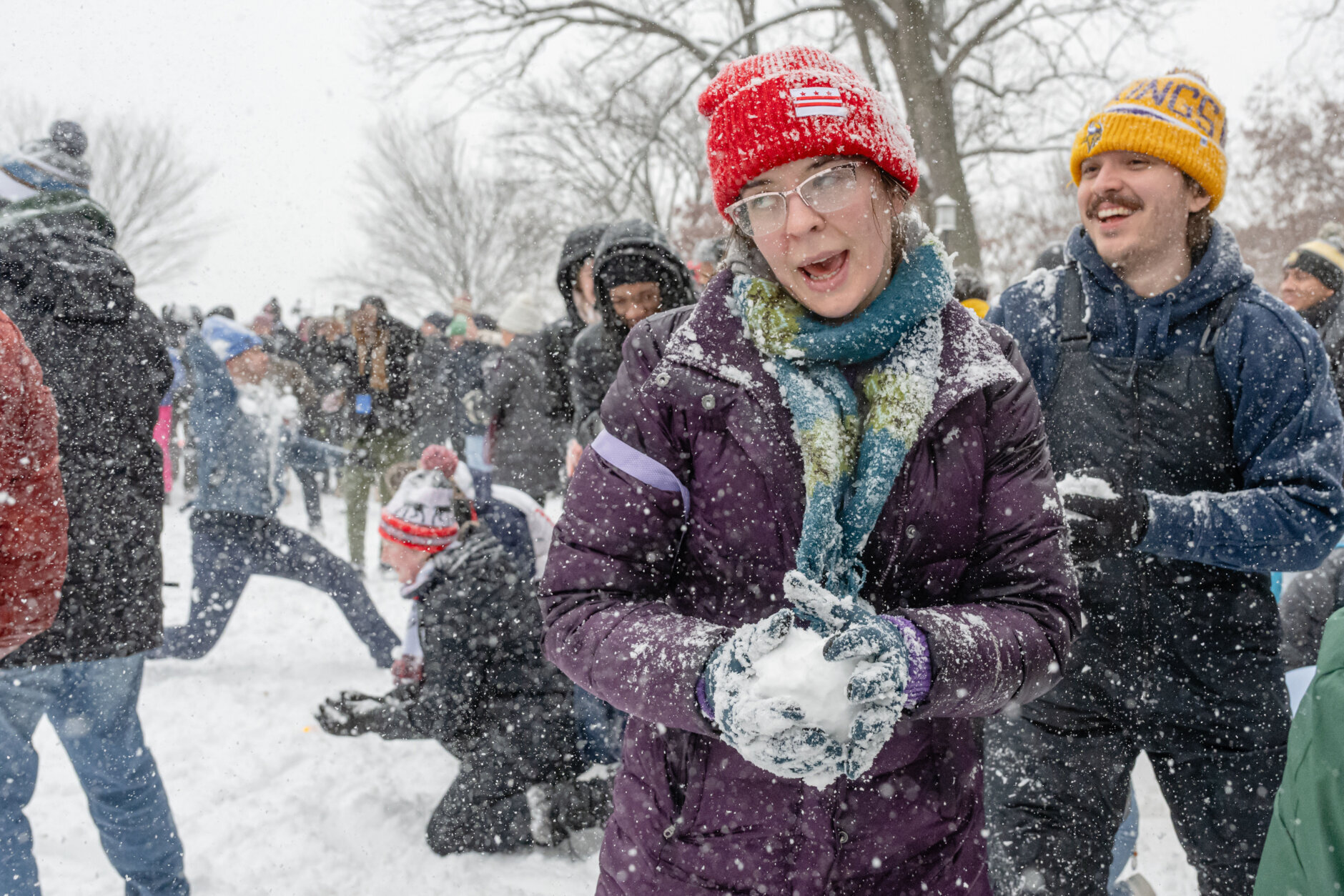
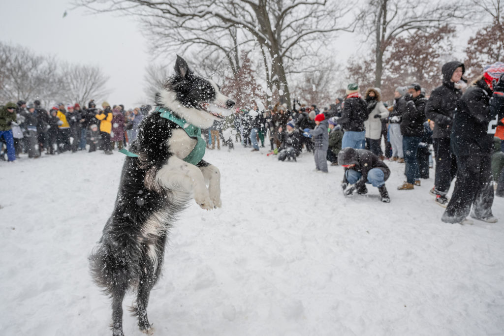
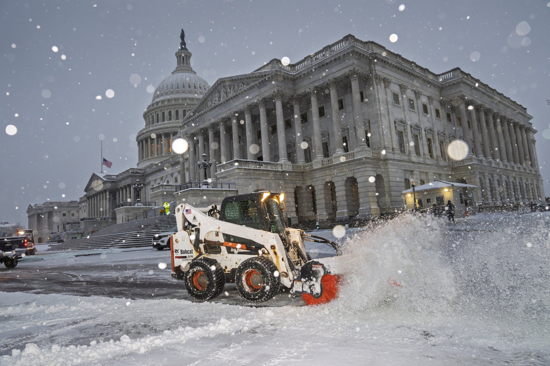
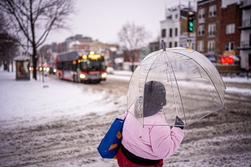
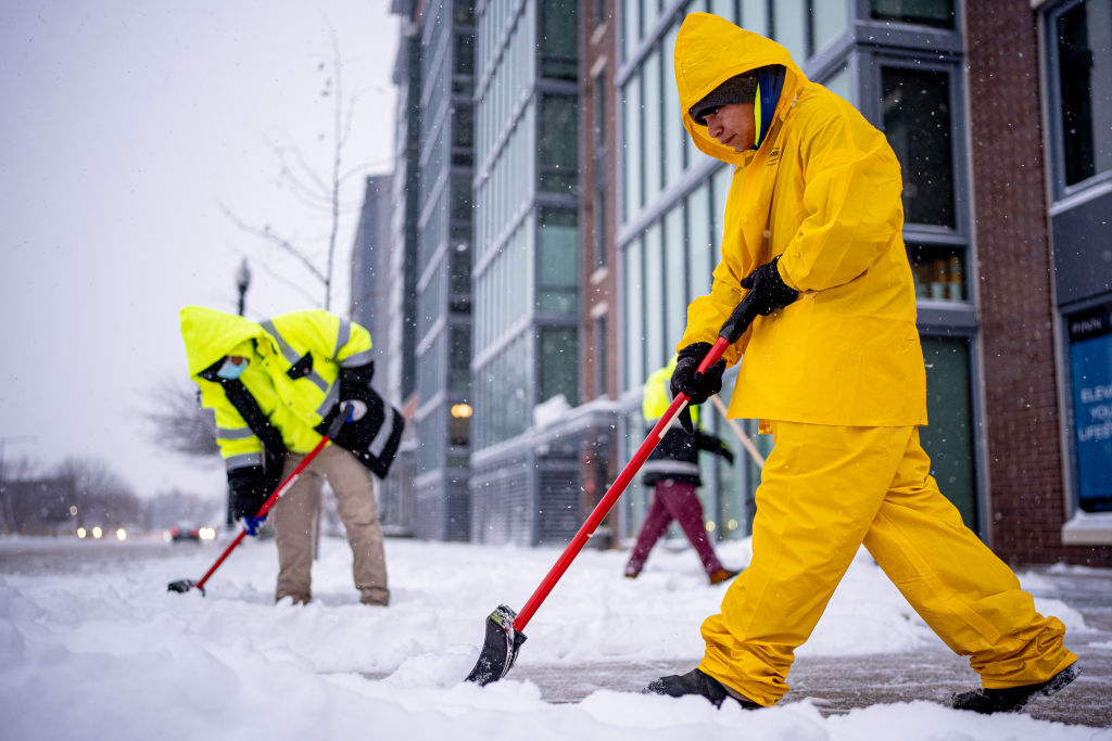
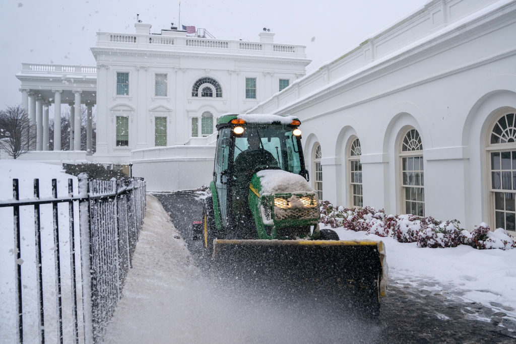
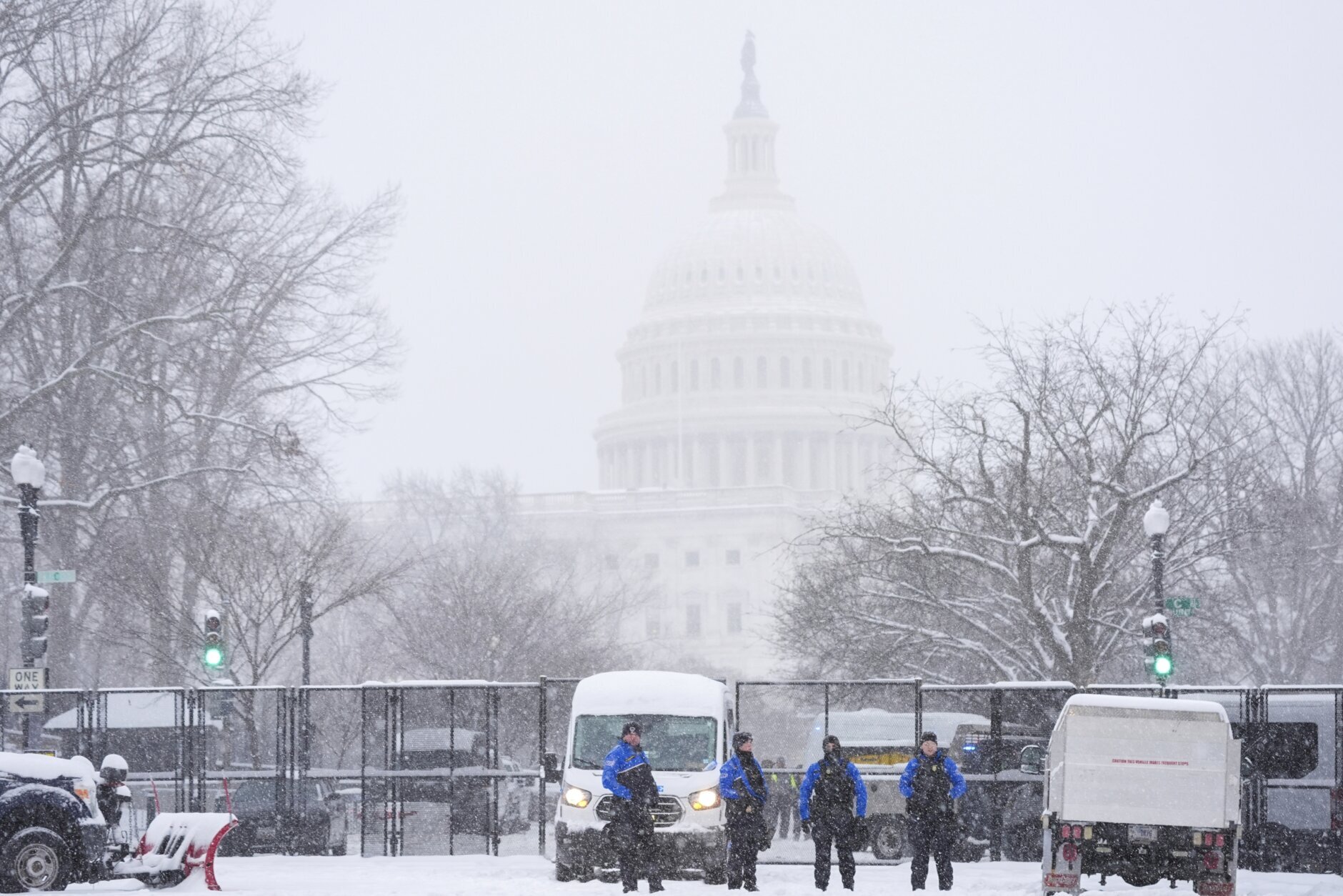
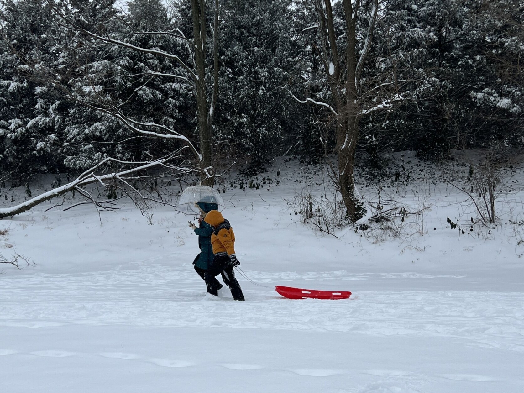
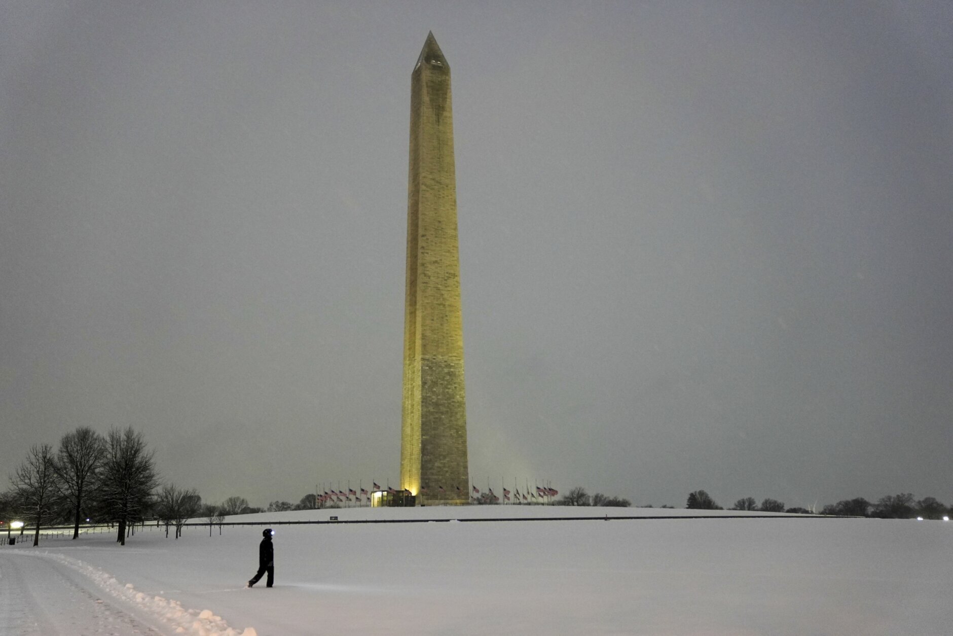
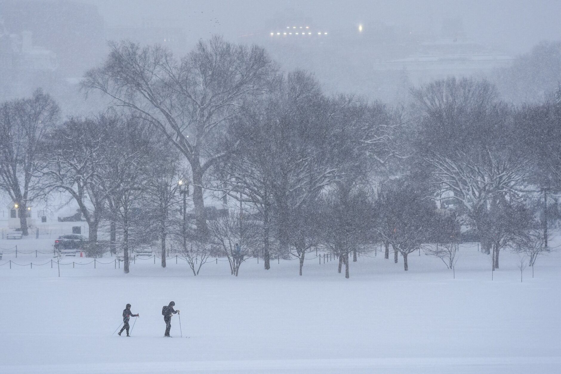
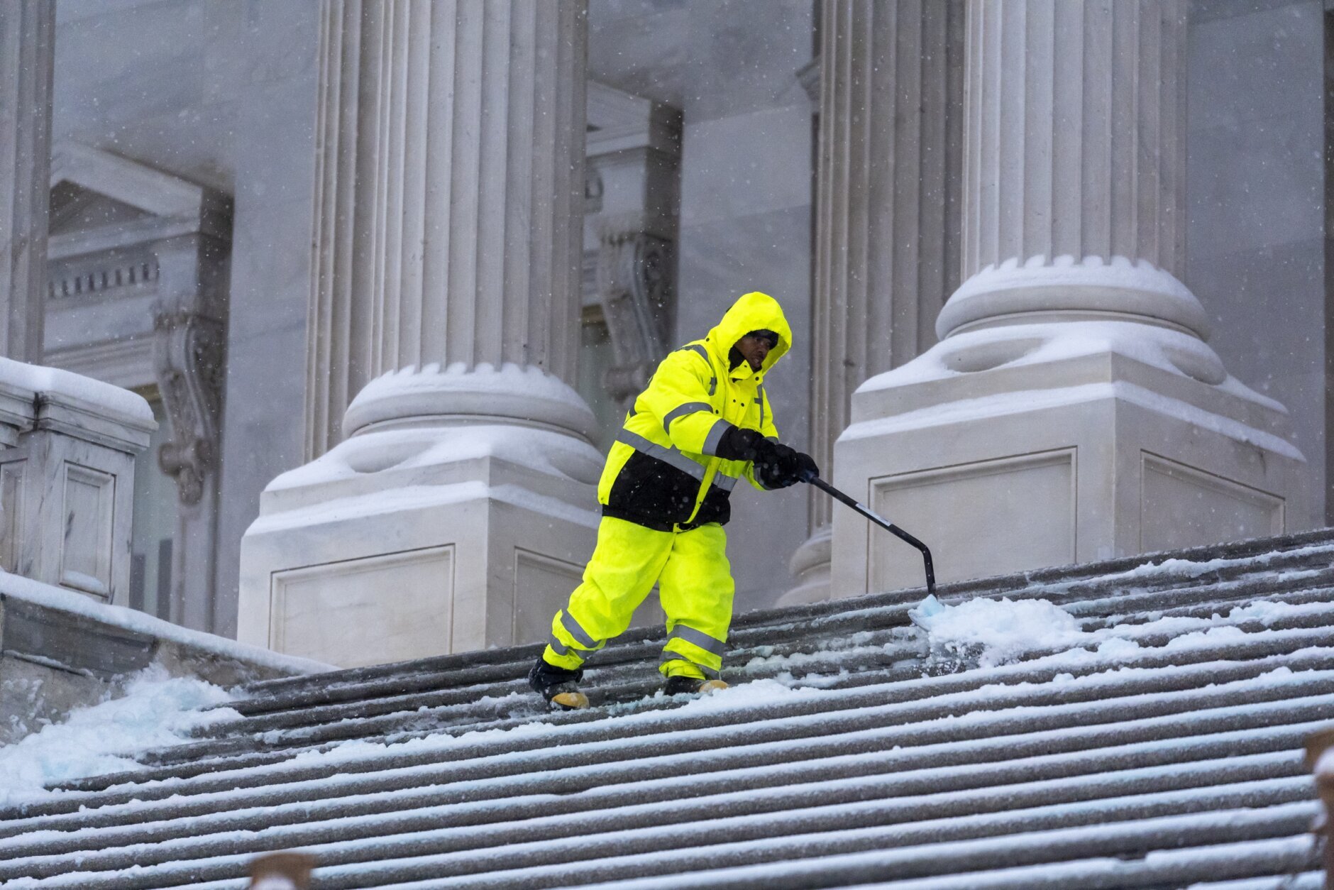
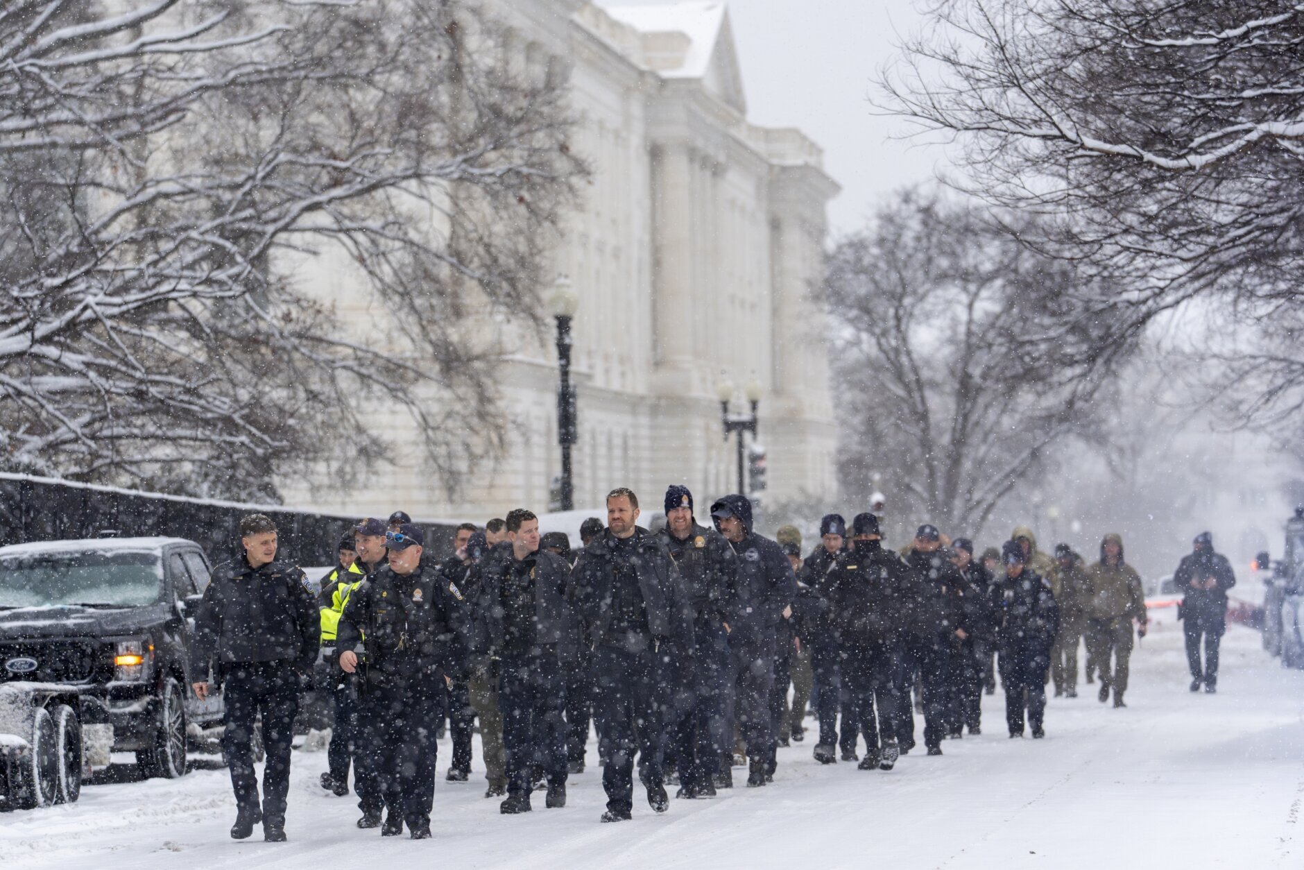
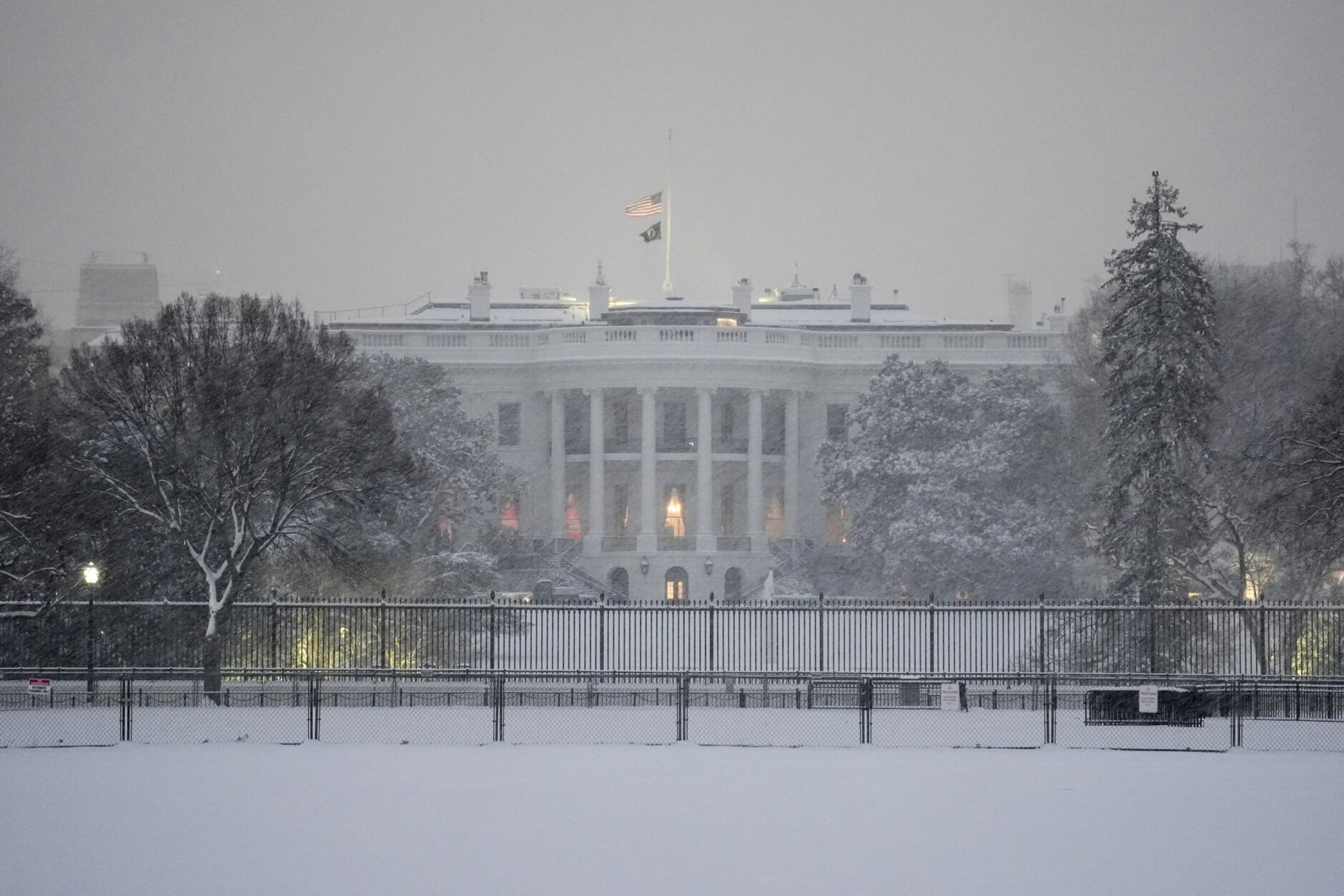
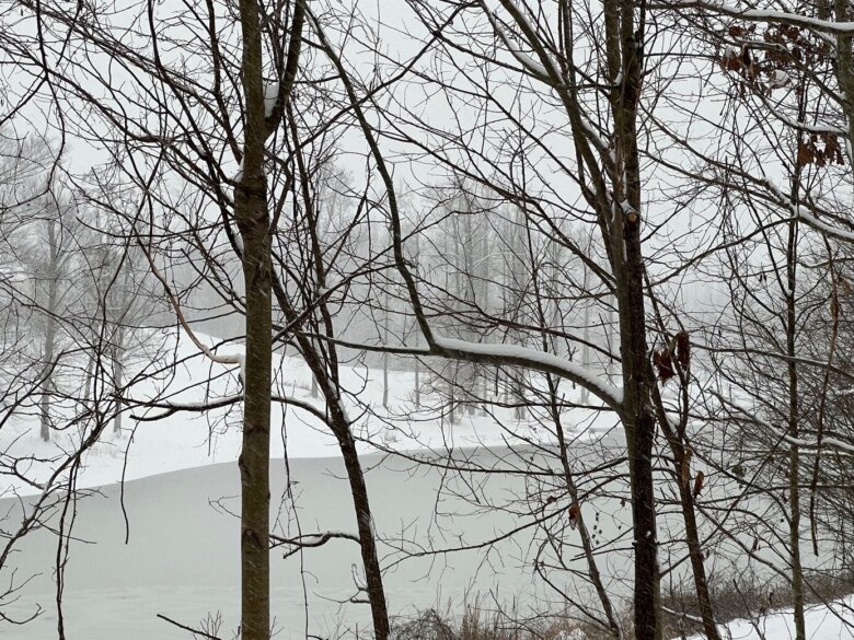
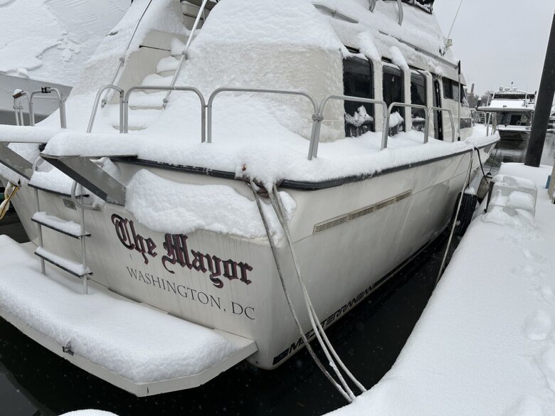
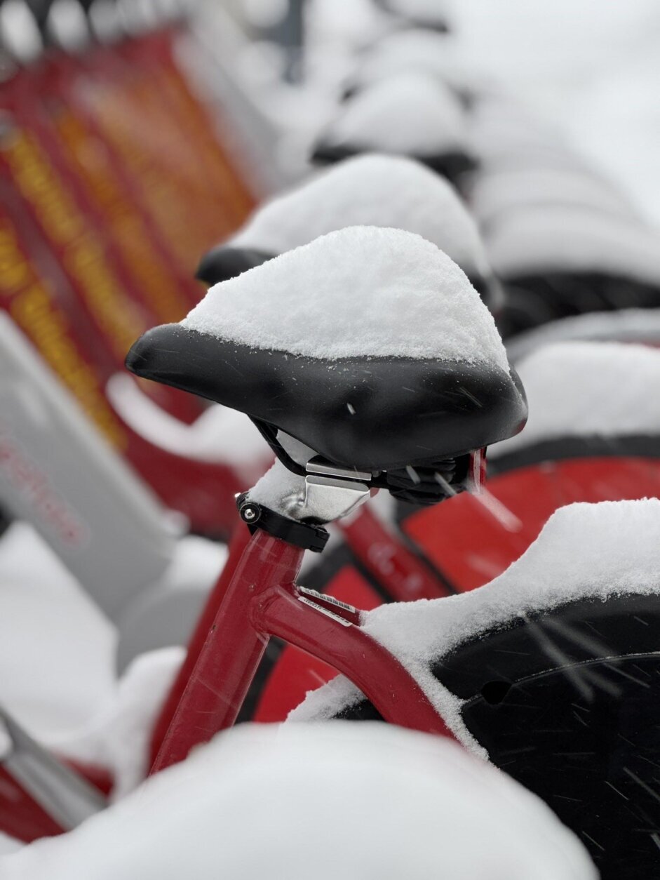
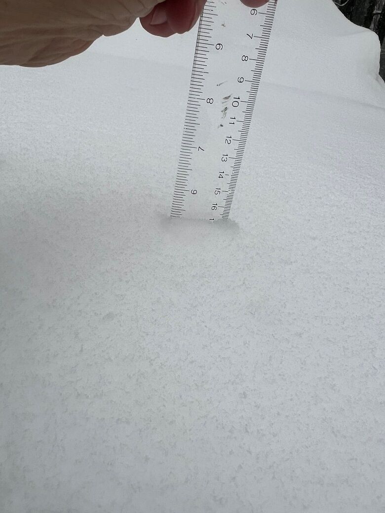
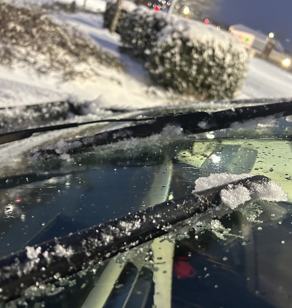
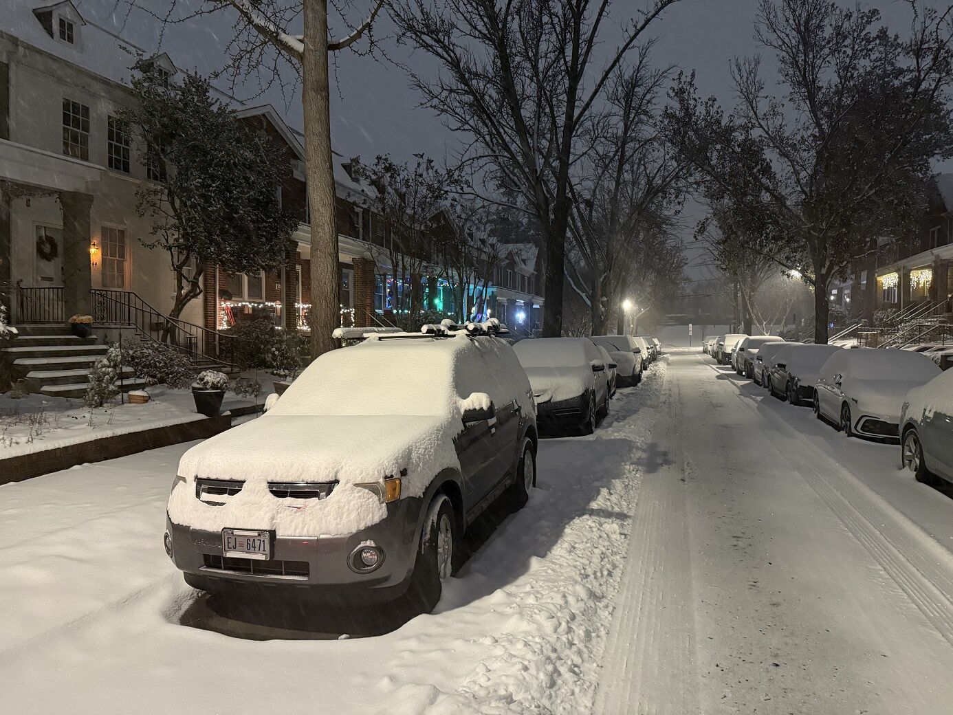
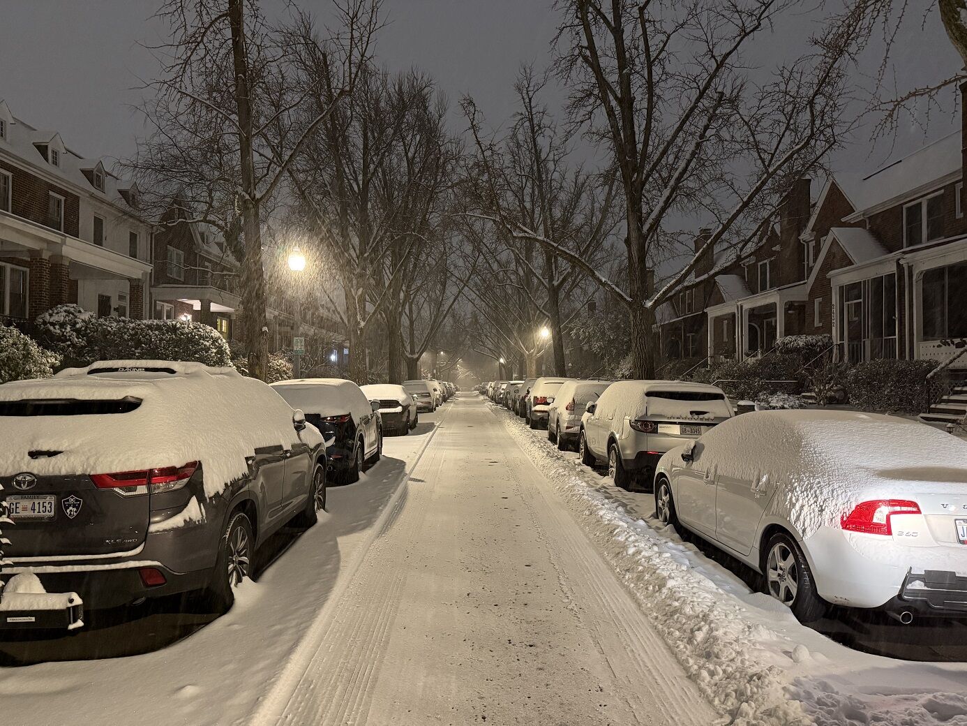
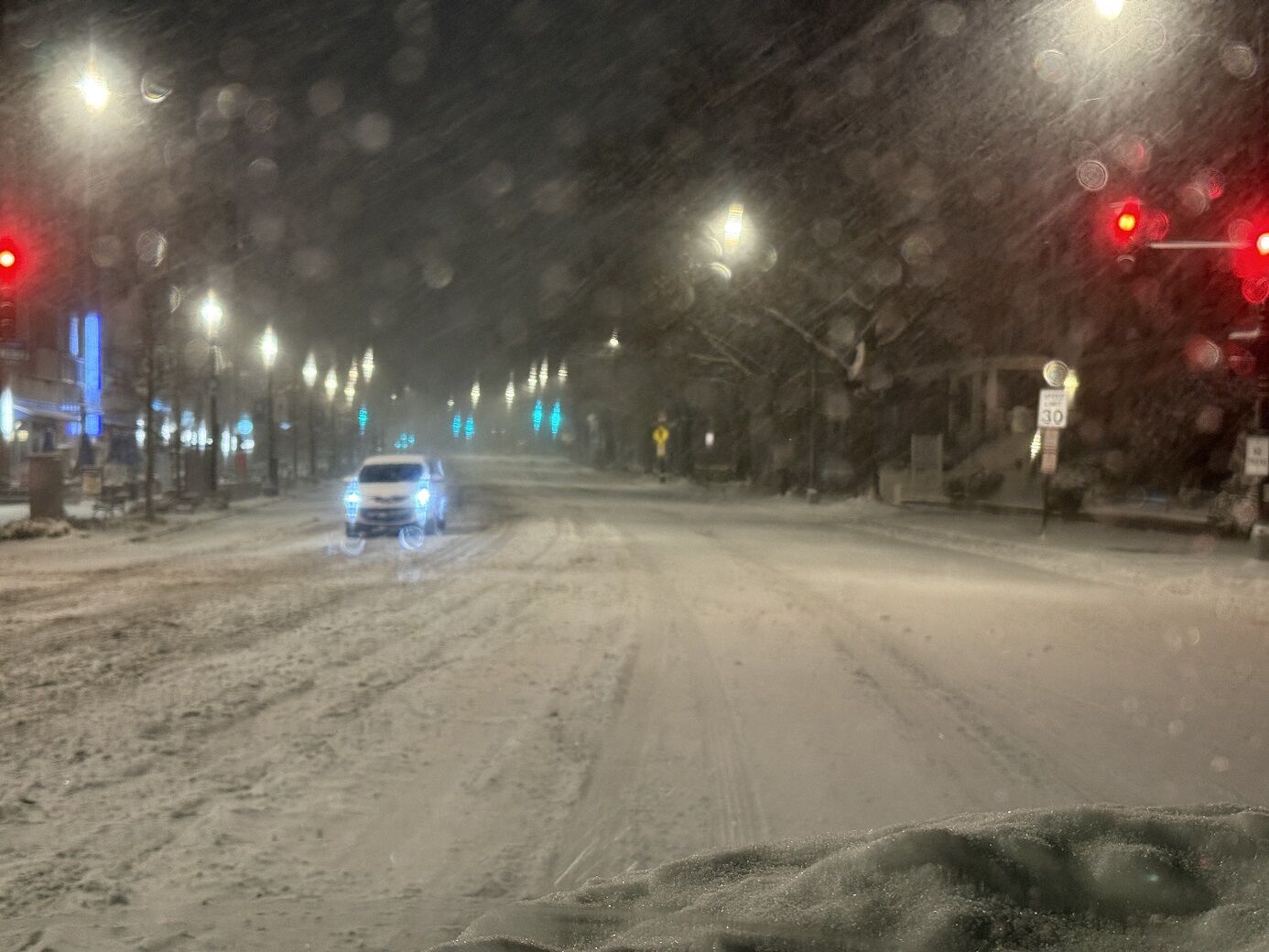
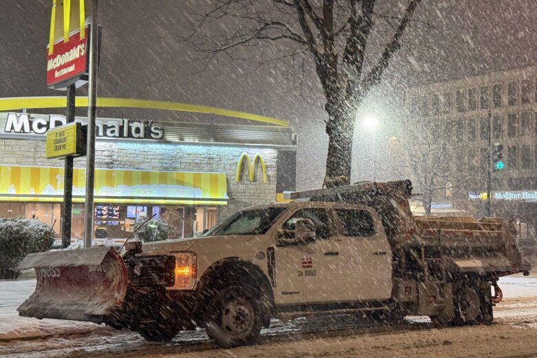
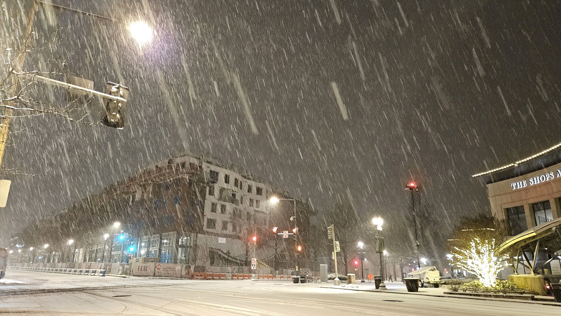
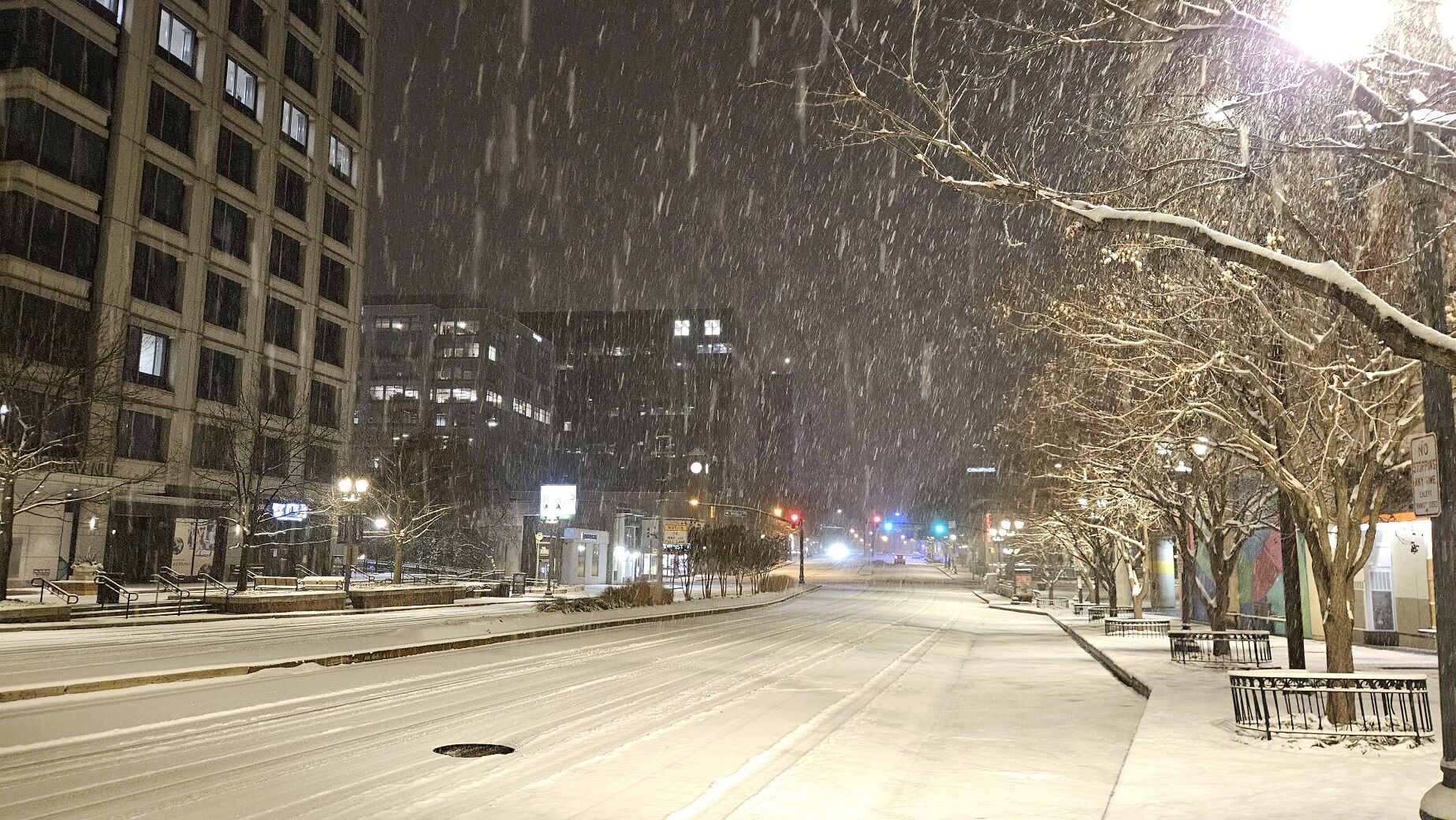
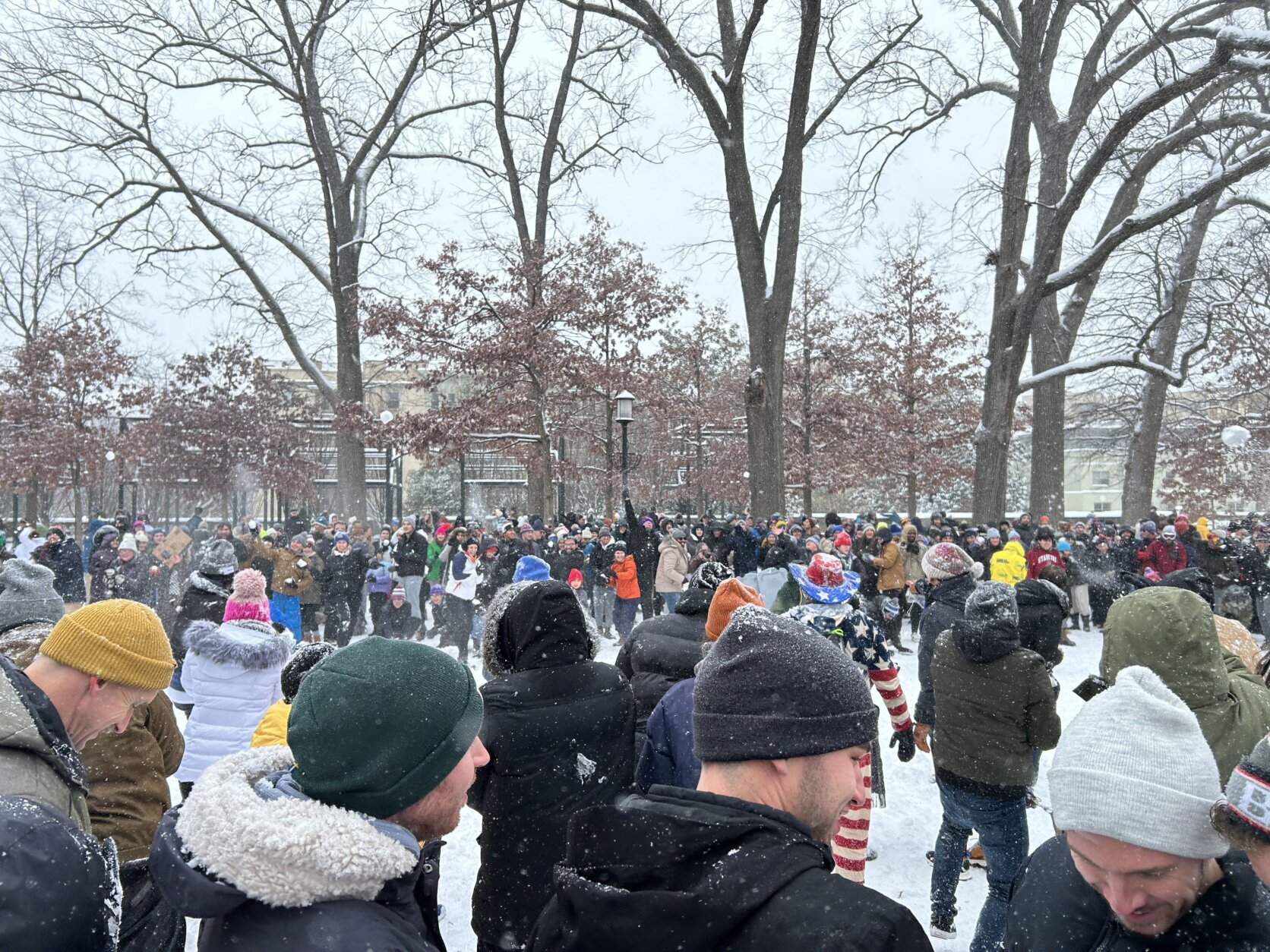
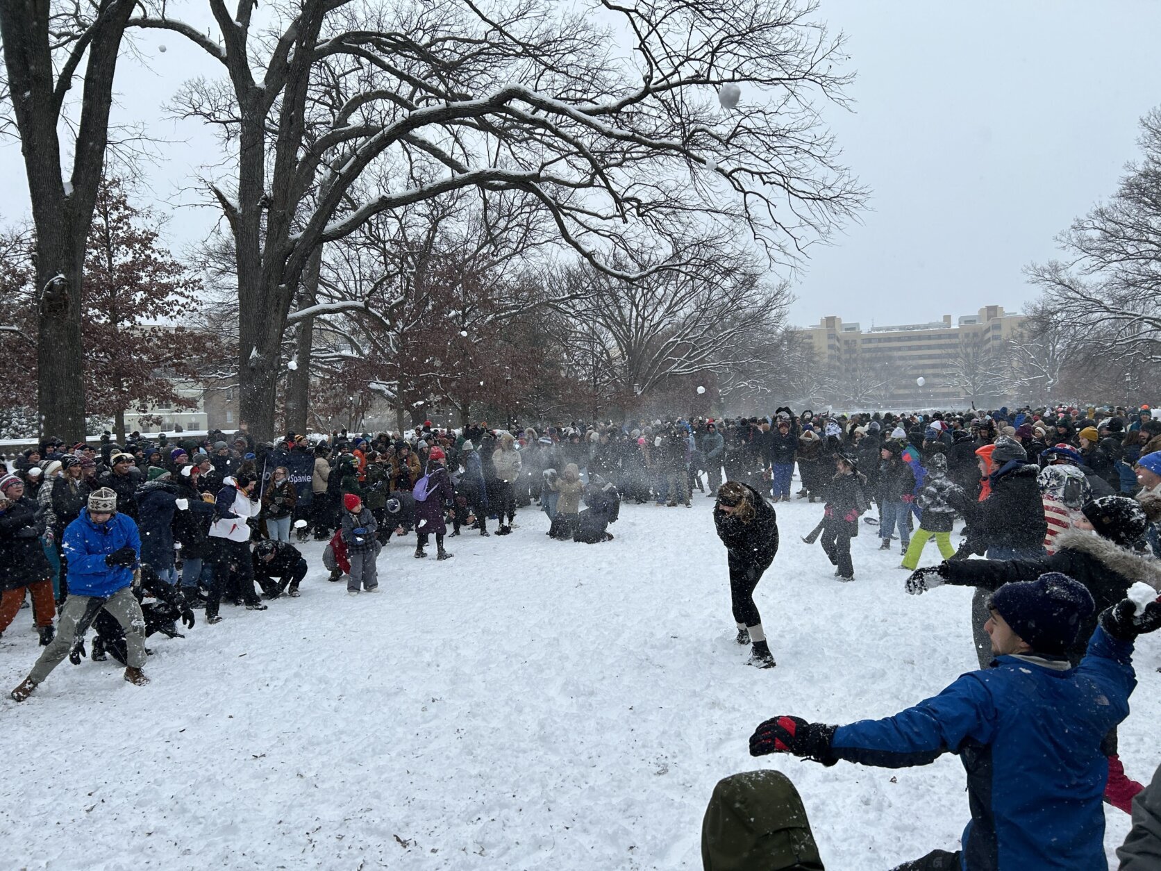
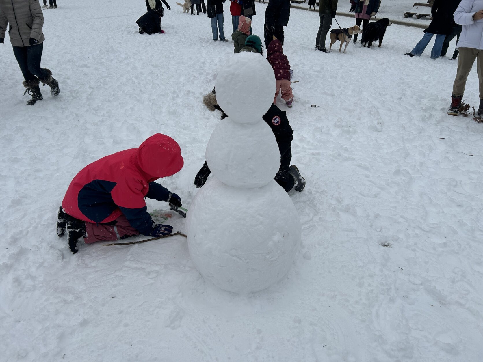
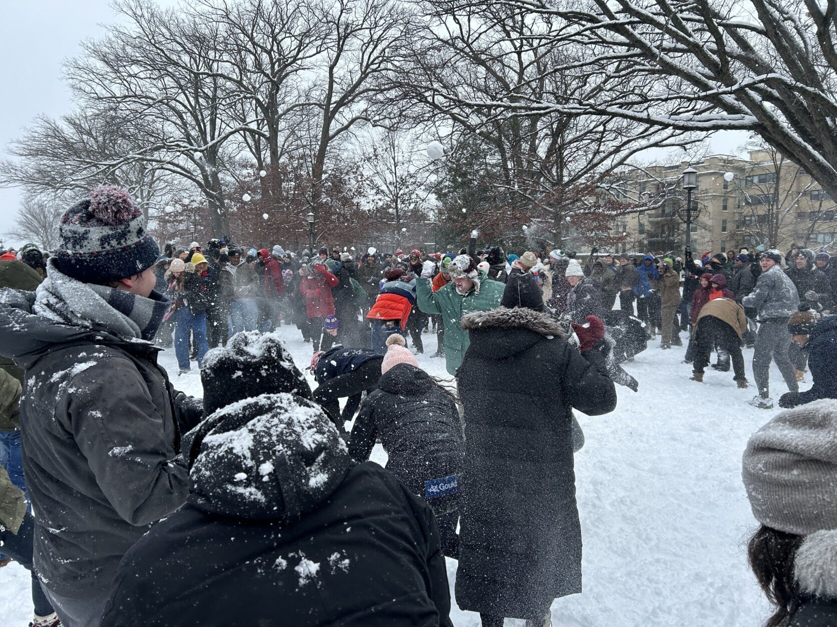
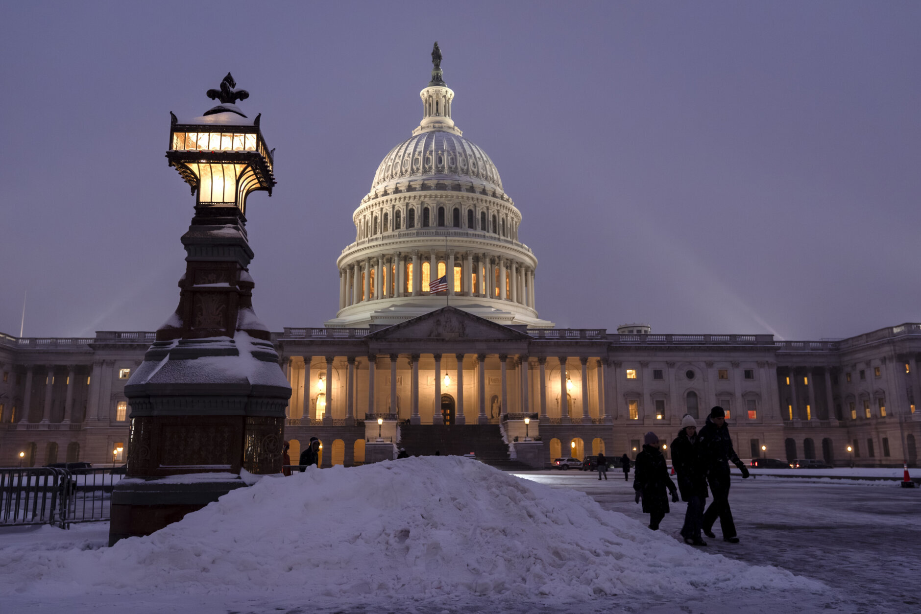
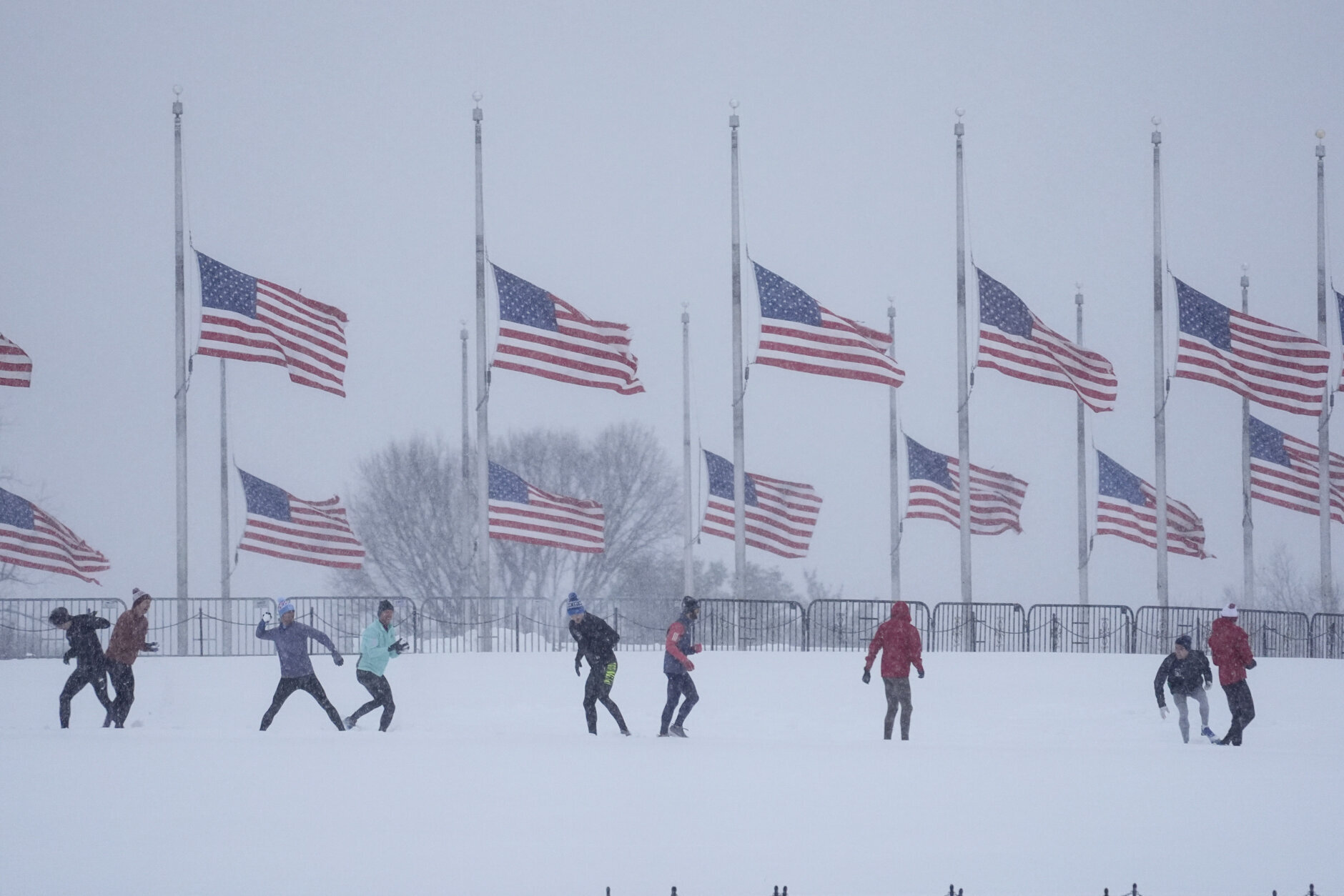
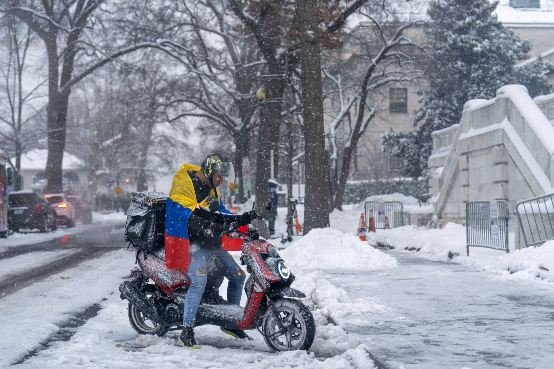
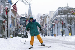
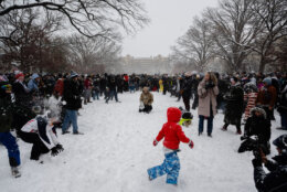
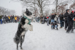
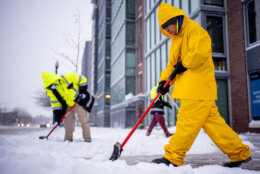
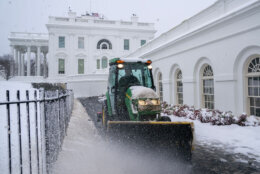
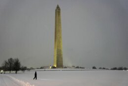
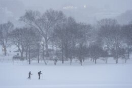
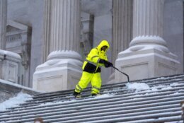
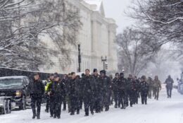
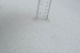
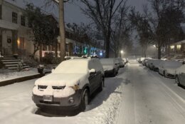
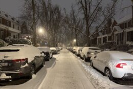
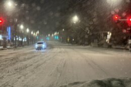
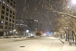
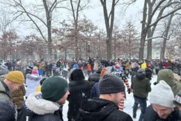
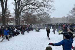
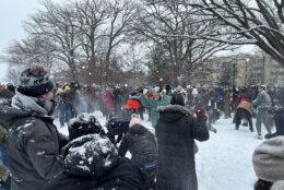
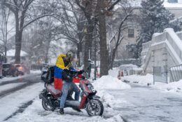
Around half a foot of snow fell early Monday during the first half of the D.C. region’s first winter storm of 2025, with another burst of winter weather Monday evening shutting down Reagan National Airport’s runways.
The D.C. area was under a winter storm warning, issued by the National Weather Service, until 1 a.m. on Tuesday.
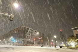
According to WTOP Meteorologist Mike Stinneford, a mixture of light snow and sleet fell in D.C.’s northern suburbs early Monday afternoon, with other parts of the region seeing a break before the next widespread round of snow showers set in late afternoon into Monday evening.
The snowfall picked up just before 5 p.m. in most of the region.
Snowfall totals
Estimates of snowfall totals from the National Weather Service, as of 5:10 p.m.:
- Bowie, Maryland: 8 inches
- Lake Ridge in Prince William County, Virginia: 8 inches
- Purcellville, Virginia: 5.2 inches
- Annapolis, Maryland: 9.5 inches
- Somerset, Maryland: 6 inches
- La Plata, Maryland: 9 inches
- Cookstown in Spotsylvania County, Virginia: 10 inches
Closings and delays
Reagan National Airport closed its runways Monday evening, according to an airport spokesperson.
Emily McGee, with the Metropolitan Washington Airports Authority, told WTOP in a statement the decision to close the airport’s runways was made “to fully remove all snow and slush in advance of the extreme cold” that was to come on Monday night.
Based on the forecast, McGee said MWAA does not foresee the runways reopening before Tuesday morning. Airport terminals are still open with limited services, the statement said.
School systems across the D.C. region also announced they’ll be closed Tuesday on account of the anticipated 1-2 inches of additional snow. Officials also raised concerns over the high risk of refreezing roadways and sidewalks overnight Monday and into Tuesday morning. See the full list of updated closings and delays here.
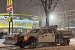
Meanwhile, the governors of both Maryland and Virginia declared states of emergency, increasing staffing and making more resources available to deal with the wintry blast.
“Everyone needs to remain vigilant,” Md. Gov. Wes Moore said. “Please stay off the roads. Unless there is an emergency or a reason that you need to be on them. And allow the emergency personnel to be able to ensure that we can get the roads clean and keep them safe for every single Marylander.”
In D.C., Mayor Muriel Bowser declared a snow emergency through the end of Tuesday. The decision activates several snow-related emergency powers, including the right to tow any cars parked along emergency snow routes during the storm.
To avoid getting your vehicle removed, check out the marked routes on the D.C. government website.
The D.C. government will open at 10 a.m. on Tuesday.





























Refreeze concerns this week
In the three days immediately following this snowstorm, temperatures will remain bitterly cold, according to Stinneford.
“Tuesday, Wednesday and Thursday we will struggle to get up to freezing, with temperatures in the teens and 20s every night. A lot of the snow pack sticks around. Highs Tuesday, Wednesday and Thursday, upper 20s to lower 30s.”
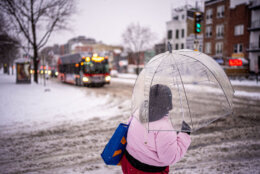
Any snow that does manage to melt during the day, creating moisture on roads, will freeze each night as temperatures plummet below 20 degrees in many places. Drivers should expect patches of ice on area roads throughout the week, especially at night and early in the morning.
Latest forecast
TUESDAY: Partly to mostly sunny, windy and cold. Highs in the low to mid 30s
WEDNESDAY: Partly cloudy, windy and cold. Highs low to mid 30s
THURSDAY: Partly cloudy. Highs in the lower 30s
FRIDAY: Increasing cloudiness. Highs mid 30s
Current conditions
Outages
Get breaking news and daily headlines delivered to your email inbox by signing up here.
© 2025 WTOP. All Rights Reserved. This website is not intended for users located within the European Economic Area.


