Now that the D.C. area has seen intermittent winter temperatures between the mild spells, many might be wondering whether snow will arrive early and create a magical winter wonderland in time for Christmas.
Believe it or not, the National Oceanic and Atmospheric Administration literally has a definition for a white Christmas: One inch of snow on the ground at 7 a.m. EST on Dec. 25 is officially considered a white Christmas at any given location.
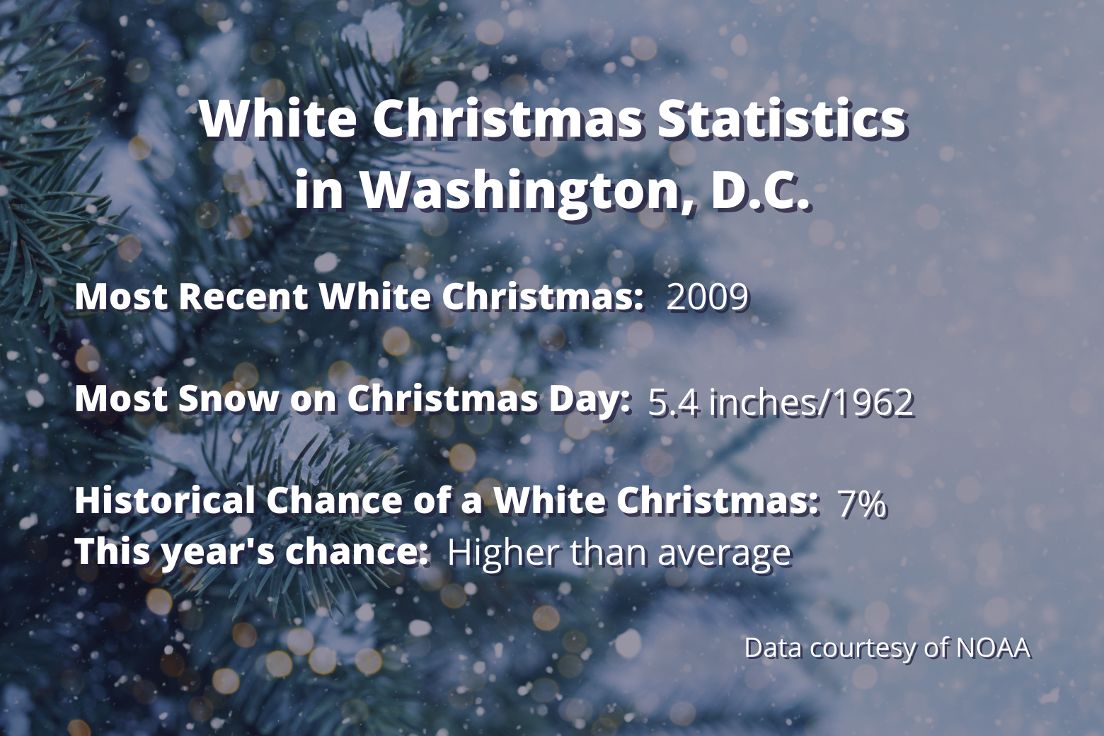
Mother Nature has struggled to produce snow in the nation’s capital on Dec. 25. There was only one white Christmas in the last 30 years — 7 inches was on the ground in 2009 (and that was left over from a blizzard earlier in the month).
In the entire weather record period for D.C. dating back to 1884, snow has fallen on only nine Christmas Days! This boils down to a 7% chance for a white Christmas in D.C. On a brighter note, there have been 19 different occasions since 1888 where at least some snow was on the ground from earlier storms on Christmas Day.

In the last 30 years, Reagan National Airport reported at least trace amounts (just enough for a dusting) in four different years, including 2020, 2010, 2002 and 1993.
The most snow to fall on Christmas Day was 5.4 inches, in 1962.
There is no statistical correlation between a La Nina winter (which we are currently in) and a white Christmas.
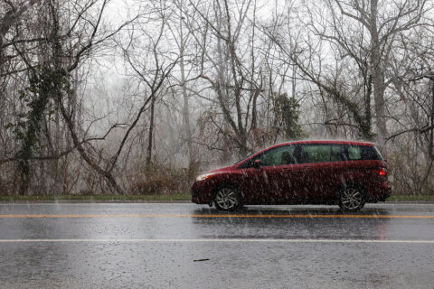
Rain on Christmas Day is much more likely, with a 36% chance of it happening on Dec. 25.
Temperatures have been all over the place on the holiday. The warmest temperature was 72 degrees in 1964, and the coldest Christmas morning was in 1983, when the temperature dropped to 14 degrees.
The most recent 30-year average high temperature is 45 degrees; the average low, 31.
Looking ahead, colder temperatures will return in mid-December, with a good chance for the first snow in D.C. between Dec. 10 and 18.
Many factors have to align to bring snow on Christmas Day and/or keep it from melting before Dec. 25, but this year that possibility is greater than the historical 7% chance!


