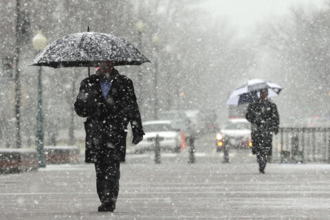
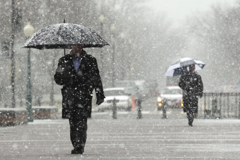
Temperatures may be in the 60s on Saturday, but the National Weather Service has issued a Winter Weather Advisory for parts of the D.C. area with snow expected to start Saturday night and end Sunday morning.
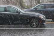
The snow looks to be a “low-impact system,” starting off late Saturday night as a mix of rain and wet snow, changing to all wet snow as the atmosphere finally cools enough for winter weather. Then it’ll start to barely accumulate, mostly on grassy surfaces, before ending, according to Storm Team4 Meteorologist Matt Ritter.
Snow could start as early as 10 p.m. Saturday night in areas west of the District, the NWS reports. Closer to D.C., the winter weather is predicted to start early Sunday morning around 1 a.m.
Winter Weather Advisories now in effect across much of the area tonight into Sunday, with a Winter Storm Warning in the southern Shenandoah Valley and adjacent Blue Ridge. pic.twitter.com/dfGyjluos6
— NWS Baltimore-Washington (@NWS_BaltWash) February 12, 2022
The snow should stop by the late afternoon in most parts of the D.C. region, according to the D.C. region.
Ritter said that though minor accumulations are possible, roads should be mainly just wet.
But there is an expected refreeze on Monday morning as temperatures are expected to plummet further Sunday night and into Monday.
The National Weather Service (NWS) for the Baltimore-Washington Area is warning those living in the area too not be fooled by the warm temperatures on Saturday.
While today will be mild, breezy and dry, the old adage “Red sky at morning, sailors take warning” will be apt today as temperatures fall rapidly tonight, with rain changing to snow for most of the area by early Sunday morning. Our latest forecast is at https://t.co/ZOlvERZ7E7 pic.twitter.com/yxUWMB6kqa
— NWS Baltimore-Washington (@NWS_BaltWash) February 12, 2022
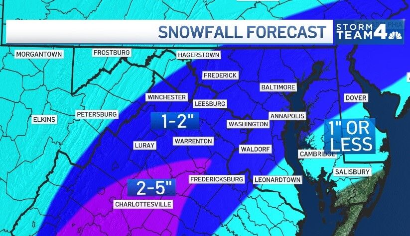
While there is not expected to be much accumulation for the immediate D.C. region, some areas like the Blue Ridge region are expecting much higher totals, according to the NWS.
- Listen to WTOP online and on the radio at 103.5 FM or 107.7 FM.
- Current traffic conditions
- Weather forecast
- Closings and Delays
- Sign up for WTOP alerts
Forecast:
SATURDAY: Increasing clouds. Mild. Wind turning west 5 to 10 mph. Highs near 60.
SATURDAY NIGHT: Developing rain to snow. Wind northwest 5 to 15 mph. Temperatures in the 30s.
SUNDAY: Snow in the morning, 1 to 2 inches possible. Highs in the 30s.
MONDAY: Partly sunny. Cold. Highs in the lower 30s.